Tokachi Volcano
Updated: 23 avril. 2024 07:27 GMT -
stratovolcanoes 2077 m / 6,814 ft
Hokkaido (Japon), 43.42°N / 142.69°E
Condition actuelle: normal / en sommeil (1 sur 5)
Hokkaido (Japon), 43.42°N / 142.69°E
Condition actuelle: normal / en sommeil (1 sur 5)
Last update: 11 mars 2022 (alert level raised)
Tokachi volcano (十勝岳 Tokachidake) is a group of stratovolcanoes and lava domes in central Hokkaido, Japan.
Frequent historical eruptions were mostly small to moderate phreatic explosions (VEI 1-2) and cluster in 5 periods: 1857, 1887 and 1889, 1925-1931, 1952 to 1962, and 1985 and 1989. 3 eruptions generated pyroclastic flows, but only the 1670 eruption produced lava flows.
Larger eruptions were in 1926 and 1962 and caused damage and fatalities. Partial cone collapse of the western flank of Tokachi-dake during the 1926 eruption produced a disastrous debris avalanche and lahar that killed more than 140 people.
The fields near Tokachi are a popular spot for photographers and tourists for viewing lavender fields.
[smaller] [larger]
Eruptions du volcan Tokachi: 2004, 1988-89, 1985, 1962, 1961, 1959, 1958, 1957, 1956, 1954, 1952, 1931,
1928, 1928, 1925-27, 1889, 1887, 1857
Derniers séismes proches
| Heure | Mag. / Profondeur | Distance / Lieu | |||
Introduction
The Tokachi volcano group volcanoes are dominantly andesitic in composition and are aligned along a NE-SW trend on a plateau of welded Pleistocene ignimbrite. Many explosion craters and cinder cones are found on the upper flanks of the small volcanoes. The youngest craters are at the NW end of the chain.Eruptions du volcan Tokachi
1962 eruption
A larger vulcanian-style eruption occurred at Tokachi volcano on 29 June 1962 from a vent near the 1926 crater. The explosion produced an ash column column rose to 12,000 ft altitude (ca. 4 km) and ejected many lava bombs and blocks. 5 miners were killed by projectiles. Ash fell on the eastern flank of Tokachi and damaged crops.
A larger vulcanian-style eruption occurred at Tokachi volcano on 29 June 1962 from a vent near the 1926 crater. The explosion produced an ash column column rose to 12,000 ft altitude (ca. 4 km) and ejected many lava bombs and blocks. 5 miners were killed by projectiles. Ash fell on the eastern flank of Tokachi and damaged crops.
1926 eruption and deadly mudflow
An eruption at Tokachi volcano started in late 1926 and lasted throughout 1926 and ended in September 1927. The eruption consisted of ash eruptions from a new vent in the summit area (Shin-funkako).
In May 1926, a hot debris avalanche formed and reached a mine 2 km NW of the crater where it killed 26 workers. The avalanche quickly turned into a large mudflow (lahar) by mixing with melting snow from the upper slopes and raced down the Hurano valley, reaching the towns of Kami-Furano 25 km NW of the crater in only 26 minutes. 137 residents were killed.
---
Source:
- Tomoyuki et al (2004) "The characteristics of 1926 volcanic mudflow at Mount Tokachi, the evidences of eyewitnesses and examination of the deposited materials", Journal of the Japan Society of Erosion Control Engineering, v .56 (5), pp. 33-44
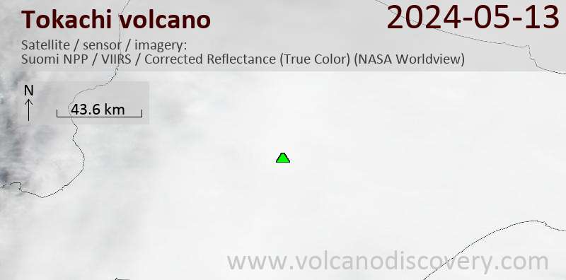
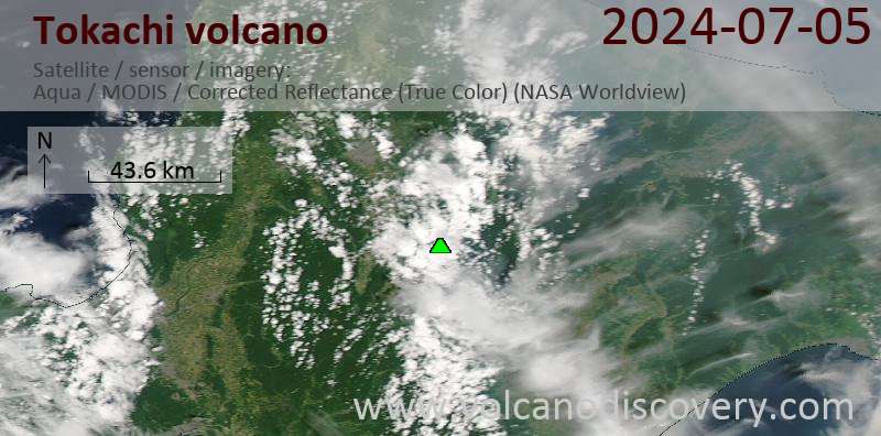
Latest satellite images