Bagana Volcano
Bougainville Island, Papua New Guinea, -6.14°S / 155.2°E
Condition actuelle: Activité petite ou avertissement éruption imminente (3 sur 5)
Bagana volcano on Bougainville Island is one of the world's most active volcanoes. It has erupted frequently since its discovery in 1842. It is located on a remote part of central Bougainville Island in the Northern Solomon Province of Papua New Guinea.
Bagana volcano is a massive, symmetrical, roughly 1750-m-high cone built largely by rapid accumulation of viscous andesitic lava flows. The present-day cone might only be 300 years old.
Major eruptions occurred in 1950, 1952, and 1966. Bagana has been in near- continuous activity since 1972, creating slow-moving lava flows, and occasionally ash explosions that sometimes produce pyroclastic flows.
The volcano has been in near-continuous activity since the earliest records from the 18th century.
Eruptions du volcan Bagana: 2012, 1972-2011, 1970-71, 1968, 1966-67, 1964-65, 1962-63, 1961, 1959(?)-60, 1953, 1952, 1948-51, 1945-47, 1943, 1939, 1938, 1937, 1909(?), 1908, 1899, 1897, 1894-95, 1883, 1865-83, 1842
Derniers séismes proches
| Heure | Mag. / Profondeur | Distance / Lieu | |||
Introduction
Bagana volcano's cone almost lacks vegetation despite the tropical climate. It has a small lava dome on the north flank of the volcano. There are active fumaroles on the youngest lava flows and several hot springs occur at the base of the cone. Bagana's lavas are mostly augite-bearing andesites.Its young lava flows form dramatic flow features, including prominent levees that descend the whole of the cone, and end in very well preserved tongue-shaped lobes with fronts up to 50-m-thick, which surround the volcano on all sides.
---
Sources of information:
- Bultitude, R.J. (1976) "Eruptive history of Bagana Volcano, Papua New Guinea, between 1882 and 1975", in: Johnson, R.W. (ed.) "Volcanism in Australasia", Elsevier Scientific Publishing Company, New York, p. 317-336.
- Bultitude, R. J. (1979) "Bagana volcano : Bougainville Island geology, petrology, and summary of eruptive history between 1875 and 1975", Memoir of the Geological Survey of Papua New Guinea (v. 6), Port Moresby
- Smithsonian / GVP volcano information
Eruptions du volcan Bagana
Bagana continues to erupt small ash explosions from time to time, producing ash plumes that rise to 2.4-3 km altitude and are monitored by the Darwin VAAC.
A magnitude 6.2 earthquake occurred 38 km SW of Bagana volcano on Tuesday 23 December 2008.
Lava flows, ash explosions and pyroclastic flows occurred at Bagana volcano between June 2007 and March 2008. ...plus d'info
In April and May 2004, Bagana produced lava flows which traveled 3 km from the summit and came within 3 km of some villages.
A large ash eruption occurred on 30 May 1966 and generated pyroclastic flows.
Bagana's activity increased in early 1962 and culminated in a major strombolian-type eruption on 15 February. Lava bursts followed at intervals of 5-10 minutes. Earthquakes and ash emissions continued until April.
The first time pyroclastic flows were reported from remote Bagana volcano was in 1950, when the summit contained a lava dome, which generated pyroclastic flows by partial collapse. Violent explosions occurred between June and October 1950 and were accompanied by intense earthquakes and loud ash explosions generating ash plumes rising to up to 3-4 km altitude.
A new lava flow appeared on the NNE flank of Bagana volcano in late March or early April 1943, as aerial photos taken between 18 February and 7 April showed.
The sound of a loud explosion from Bagana was heard in Kieta village 50 km away in September 1937, when a new eruption began at Bagana. The The Sydney Morning Herald reported on 9 September:
"A violent volcanic eruption began on Tuesday morning at Mt. Bagana, near Kieta, on the island of Bougainville, 250 miles south-east of Rabaul. Columns of smoke rose more than 15,000 feet.
There is no danger to the township of Kieta but the area near the mountain is thickly populated by natives."
Dense steam and ash clouds were observed at Bagana volcano from the German ship SMS Gazelle on 25 August 1875. ...plus d'info
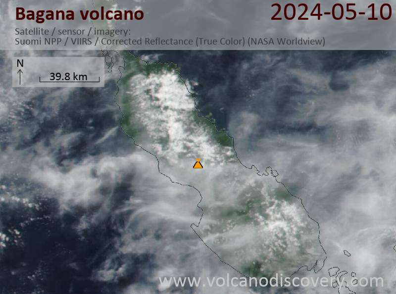
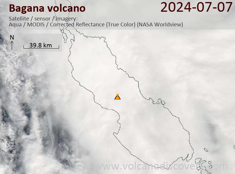
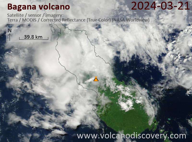
Latest satellite images