Fisher Volcano
Updated: 18 avril. 2024 11:35 GMT -
Stratovolcano 1112 m / 3,648 ft
United States, Aleutian Islands, 54.65°N / -164.43°W
Condition actuelle: normal / en sommeil (1 sur 5)
United States, Aleutian Islands, 54.65°N / -164.43°W
Condition actuelle: normal / en sommeil (1 sur 5)
[smaller] [larger]
Eruptions du volcan Fisher: 1830
Derniers séismes proches
| Heure | Mag. / Profondeur | Distance / Lieu | |||
| 11 avril 01:42 (Anchorage) | 1.6 0.8 km | 16 km au nord-est | Info | ||
Introduction
The 11 x 18 km Fisher caldera on western Unimak Island NE of Westdahl volcano is one of the largest calderas in the Aleutian arc. The caldera, which is elongated in a NE direction, formed around 9400 years ago, accompanied by emission of large-volume, mobile pyroclastic flows that reached the Bering Sea and the Pacific Ocean. Two satellitic cones are located below the north rim, NE of its 1112-m high point at Eickelberg Peak, which rises more than 900 m above three lakes on the caldera floor, one of which drains through a notch in the southern caldera rim. A large composite cone, Mount Finch, is found at the center of the caldera, which also contains a small breached cinder cone. Historical eruptions have occurred in the 18th and 19th centuries. Low-temperature fumaroles are located at the western flank of Mount Finch, and Turquoise Lake, at the base of the cone, emits hydrogen sulfide gas.---
Smithsonian / GVP volcano information
Fisher Volcano Photos
Mer sauvage et maisons de pêcheurs à Klima (Photo: Tom Pfeiffer)
Pêcheurs sur la côte de l'île de Rakata. (Photo: Tobias Schorr)
Pêcheurs de l'île de Rakata (Photo: Tobias Schorr)

Pêcheurs indonésiens sur la côte de l'île de Rakata (Photo: Tobias Schorr)
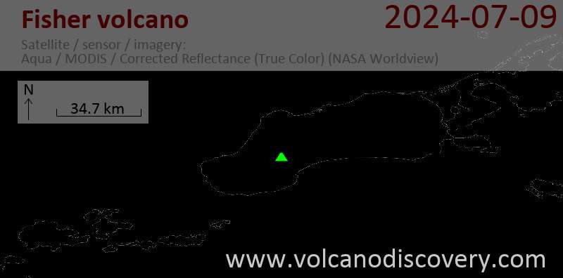
Latest satellite images