


Gorely Volcano
Updated: 25 avril. 2024 05:52 GMT -
Stratovolcano (caldera) 1829 m (6,001 ft)
Southern Kamchatka, 52.55°N / 158.03°E
Condition actuelle: normal / en sommeil (1 sur 5)
Southern Kamchatka, 52.55°N / 158.03°E
Condition actuelle: normal / en sommeil (1 sur 5)
Last update: 9 déc. 2021 (degassing)
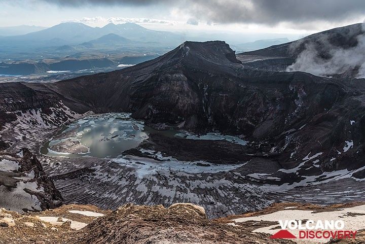
The eastern central crater of Gorely, often filled with an acid lake.
Gorely volcano is one of the most active volcanoes in southern Kamchatka and located 75 km SW of Petropavlovsk. It is a complex of several overlapping stratovolcanoes with many summit and flank craters. Activity in historic times were mainly small to medium-sized ash and steam eruptions.
[smaller] [larger]
Eruptions du volcan Gorely: 1821 (?), 1828, 1832, 1855, 1869, 1929-30, 1930-31, 1931, 1932 (?), 1947, 1961, June 1980 - July 81, Aug 1984- Sep 86, June 2010 (?)
Derniers séismes proches
| Heure | Mag. / Profondeur | Distance / Lieu | |||
Introduction
The large Gorely volcano has a very complex structure: The edifice fills a large 9 x 13.5 km caldera occupied by 3 closely spaced overlapping stratovolcanoes with 11 summit craters and more than 30 flank craters. The lavas of Gorely are mainly basalt and basaltic andesite and the volcano developed along a WNW-ESE line within the caldera. It is cut by 3 rift zones. Some of the craters contain acid or freshwater crater lakes.The caldera formed after a giant plinian eruption that produced about 100 cubic miles of tephraabout 38,000-40,000 years ago.
Historic activity of Gorely volcano can be traced since the 19th century. 4 explosive eruptions from summit craters occured in 1828, 1832, 1855, and 1869. The first historic eruptions in 1929-30 produced several strong eruptions which ejected ash and larger fragments of rock, and ash plumes that reached the Pacific coast, Petropavlovsk-Kamchatsky, and the village of Nachiki at 150 km from the volcano.
In the 20th century, seven eruptions occured in 1929, 1930, 1931, 1947, 1961, 1980-1981, and 1984-1986. During the last 1984-1986 eruption, the ash plumes reached 3.5 km height and a crater was formed that is now filled with a lake.
Gorely Volcano Photos
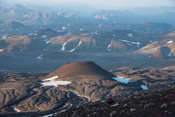
Un cône de cendres sur le flanc NE de Gorely. (Photo: Tom Pfeiffer)
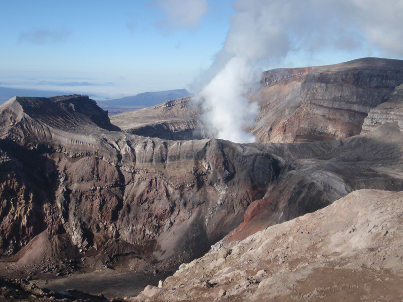
Cratère du volcan Gorely, Kamchatka (Photo: AndreyNikiforov)
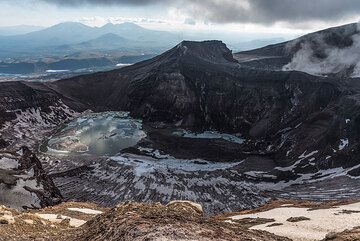
Le lac de cratère du cratère sommital central de Gorely est partiellement gelé. (Photo: Tom Pfeiffer)
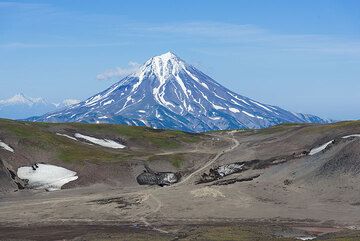
Le volcan Vilyuchik est toujours visible derrière alors que nous décidons de gravir Gorely dans l'après-midi. (Photo: Tom Pfeiffer)
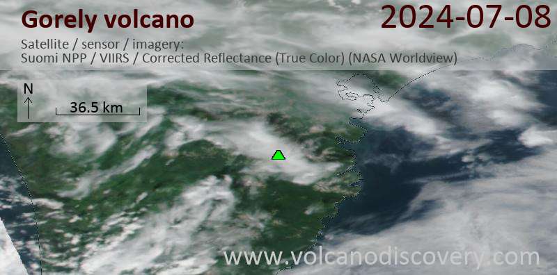
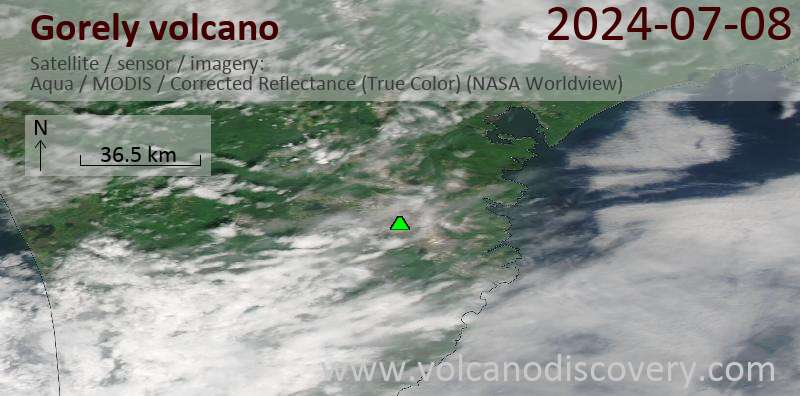
Latest satellite images
Gorely Volcano Tours
Kamchatka (Russia)
Kamchatka - Land of Colors
volcano expedition to Kamchatka
16-19 days - Facile-Modérée
Prix 0 €
Prix 0 €
pas de groupe programmé pour le moment


