Hamiding Volcano
Updated: 18 avril. 2024 16:01 GMT -
Unknown 1204 m / 3950 ft
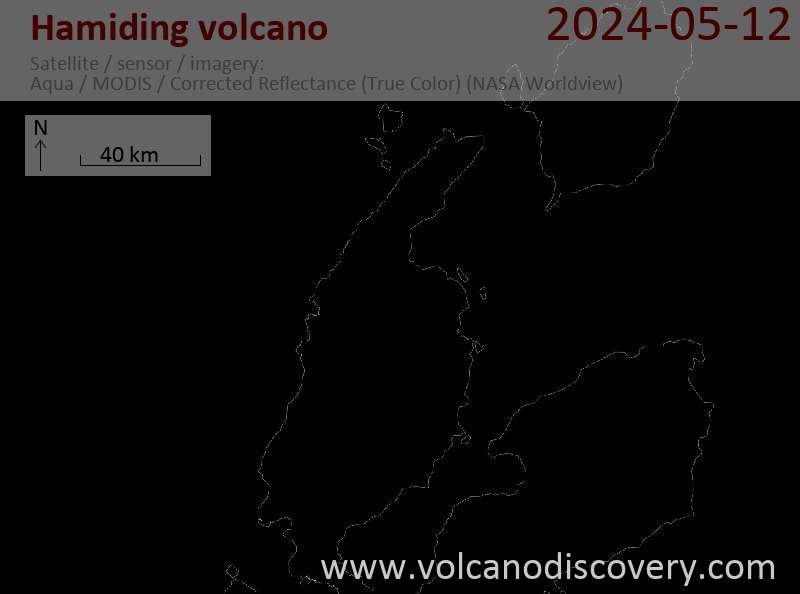
Indonesia, 1.62°N / 127.82°E
Condition actuelle: (probablement) éteint (0 sur 5)
Indonesia, 1.62°N / 127.82°E
Condition actuelle: (probablement) éteint (0 sur 5)
[smaller] [larger]
Eruptions du volcan Hamiding: None during the past 10,000 years
Less than few million years ago (Pleistocene)
Derniers séismes proches
Introduction
Hamidang volcano is mapped as Quaternary (Supriatna 1980). Based on the morphology of the area, it appears to consist of approximately a dozen small cones.---
Source: Smithsonian / GVP volcano information
Latest satellite images