Loloru Volcano
Updated: 20 avril. 2024 00:27 GMT -
pyroclastic shield 1887 m / 6,191 ft
North Solomons Province (Papouasie Nouvelle Guinée), -6.52°S / 155.62°E
Condition actuelle: normal / en sommeil (1 sur 5)
North Solomons Province (Papouasie Nouvelle Guinée), -6.52°S / 155.62°E
Condition actuelle: normal / en sommeil (1 sur 5)
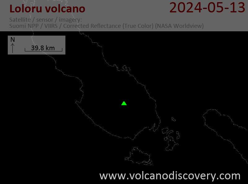
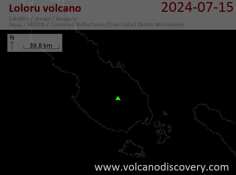
Loloru volcano is a large shield volcano in SE Bougainville Island.
It is composed mainly of airfall tephra and thick pyroclastic flow deposits and together with the nearby Takuan complex covers about 60% of the southern half of Bougainville Island.
The smooth flanks of Lorou's shield are cut by deep radiating valleys in all directions. The summit of Loloru volcano contains 2 nested calderas 3.5 and 2 km wide and a forested andesitic lava dome at the SW edge of the caldera. The caldera has been the source of many violent explosive eruptions of Loloru in the past 10,000 years, depositing large ignimbrite deposits on southern Bougainville Island. The most recent explosion was about 3000 years ago.
[smaller] [larger]
Eruptions du volcan Loloru: 1050 BC (?), 1260 BC ± 300 years, 2150 BC (?), 3150 BC (?), 4150 BC (?), 6950 BC (?) (uncorrected radiocarbon ages of large explosive eruptions from the central vent)
Derniers séismes proches
| Heure | Mag. / Profondeur | Distance / Lieu | |||
Introduction
Like the Taroka group of volcanoes to the NW and the Takuan group to the north, Loloru has been built inside the older 10 x 15 km Laluai caldera.Source:
Smithsonian / GVP Loloru volcano information
Eruptions du volcan Loloru
1988 increased fumarolic .activity
A field visit on 25 April 1988 revealed an increased fumarole activity on the flank of the summit lava dome. A thermal area emitted a 20m high plume and a fumarole ejected drops of liquid sulfur. ...plus d'info
A field visit on 25 April 1988 revealed an increased fumarole activity on the flank of the summit lava dome. A thermal area emitted a 20m high plume and a fumarole ejected drops of liquid sulfur. ...plus d'info


