| RSS | EN | DE | EL | ES | FR | IT | RU

Sandal Volcan

Updated: 2 déc.. 2025 12:43 GMT -
cinder cone
Turquie, 38.58°N / 28.55°E
Summit height: 855 m
Condition actuelle: normal / en sommeil (1 sur 5)

The Sandal volcano belongs to the Kula volcanic area.

[smaller] [larger]
Style éruptif tipique: explosive
Eruptions du volcan Sandal: none in historic times

Derniers séismes proches

Date et l'heureMag / Prof.Distance / Lieux
19 nov. 09:32 (Temps Universel)
0.9

9.7 km
9 km au sud-ouest 29 km à l'est de Salihli, Manisa, Turquie Info

Introduction

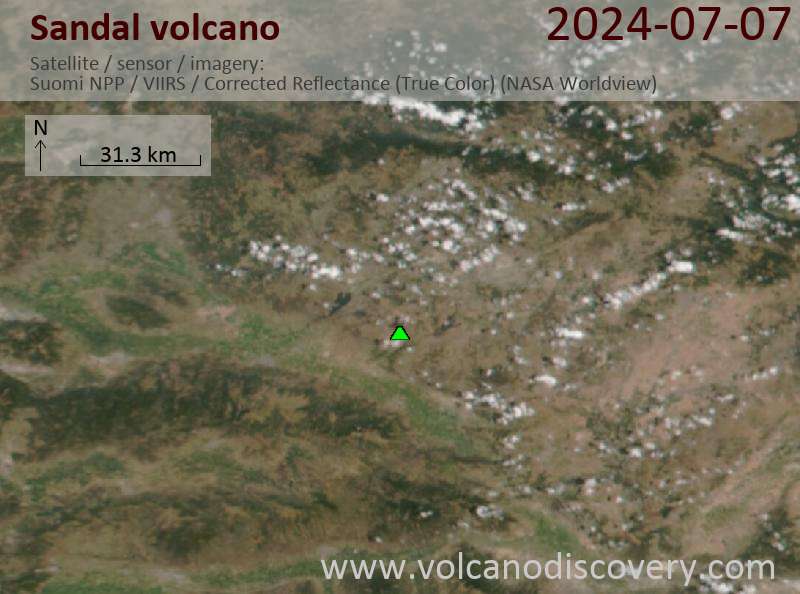
It is part of the most western part of Turkey´s volcanism. There have been alkaline-basanitic-to-phonotephritic eruptions of Strombolian style in the Holocene until +- 10-000-35.000 years before.

Dernières images satellite

Sandal image satellite sat1Sandal image satellite sat2

Sandal Volcan Cartes

Below is a selection of maps showing the location and surroundings of the volcano at various resolutions based on aerial-imagery / terrain maps. Feel free to use them for non-commercial purposes on your blog or website as long as you credit them with a link back to this page (click to copy it).
Satellite/aerial-type map of Sandal volcano (world scale)
Terrain-type map of Sandal volcano (world scale)
Satellite/aerial-type map of Sandal volcano (region scale large)
Terrain-type map of Sandal volcano (region scale large)
Satellite/aerial-type map of Sandal volcano (region scale medium)
Terrain-type map of Sandal volcano (region scale medium)
Satellite/aerial-type map of Sandal volcano (region scale small)
Terrain-type map of Sandal volcano (region scale small)
Satellite/aerial-type map of Sandal volcano (local scale large)
Terrain-type map of Sandal volcano (local scale large)
Satellite/aerial-type map of Sandal volcano (local scale medium)
Terrain-type map of Sandal volcano (local scale medium)
Satellite/aerial-type map of Sandal volcano (local scale small)
Terrain-type map of Sandal volcano (local scale small)
Satellite/aerial-type map of Sandal volcano (scale of 10s of km)
Terrain-type map of Sandal volcano (scale of 10s of km)
Satellite/aerial-type map of Sandal volcano (scale of 20-40 km)
Terrain-type map of Sandal volcano (scale of 20-40 km)
Satellite/aerial-type map of Sandal volcano (scale of approx. 10-20 km)
Terrain-type map of Sandal volcano (scale of approx. 10-20 km)
Satellite/aerial-type map of Sandal volcano (scale of 5-10 km)
Satellite/aerial-type map of Sandal volcano (scale of few kilometers)
Volcanoes & Earthquakes - new app for Android
Départs garantis:
2-10 mai 2026: Montagnes de Feu - du Stromboli à l'Etna - Eoliennes + Etna
= Places libres   = Départ garanti   = Quelques places disponibles   = Groupe fermé

No news in this list.

Sur cette page:

Try our free app!
Volcanoes & Earthquakes - new app for Android
Android | iOS version

More on VolcanoDiscovery

Why is there advertising on this site?

Ensemble, faisons grandir VolcanoDiscovery !

Chaque jour, nous travaillons avec passion pour vous apporter les dernières données sur les volcans et les séismes du monde entier, en temps réel. Mais maintenir notre site web et nos applications gratuites demande beaucoup de temps, d’énergie et de ressources.
Avec votre soutien, nous pouvons renforcer nos outils, élargir nos capacités matérielles et logicielles, et aider notre équipe éditoriale à continuer de vous informer, partout et à tout moment. Notre ambition : offrir un service ininterrompu dès qu’un tremblement de terre ou une éruption volcanique se produit. Vos dons rendent cela possible — chaque contribution compte ! Si nos informations vous sont utiles et que vous souhaitez participer à cette mission, faites un geste aujourd’hui :

Faire un don via PayPal :

Prochaines améliorations prévues :

Grâce à vos dons précédents, nous avons déjà ajouté :
Téléchargez et mettez à jour l’application « Volcans & Séismes » pour recevoir parmi les alertes sismiques et volcaniques les plus rapides en ligne :
Android | iOS
Merci de faire partie de cette aventure !
Copyright: VolcanoDiscovery ou autres sources indiquées.
Utilisation des documents: Les textes, les images et les vidéos de ce site internet sont protégées par copyright. Toute reproduction et tout usage sans accord préalable ne sont pas autorisés. Si vous désirez acquérir pour certains documents (photos, vidéos, textes ou autres) le droit de reproduction, d'édition et, plus généralement, de toute utilisation destinée à un usage public, qu'elle soit commerciale ou pas, vous êtes priés de nous contacter.
Volcanoes & Earthquakes
VolcanoDiscovery Home
Volcans | Séismes | Photos | Actualités | | Shop | App
Adventure & Study Travel
Tours to Volcanoes and Volcanic Areas: walking tours, photo tours, study tours
Voyages |
Get our newsletter!
Company info
Contact | Mentions légales | Terms & conditions
Follow us
Follow us on facebook Follow us on Instagram Follow us on Bluesky Follow us on Twitter Visit our Youtube channel
EN | DE | EL | ES | FR | IT | RU
VolcanoDiscovery GmbH, Germany, Reg. nr.: HRB 103744, EU Tax Id: DE 297 465 123 owned and created by
Dr. Tom Pfeiffer, volcanologist, volcano photographer, tour organizer member of
IAVCEI
IAVCEI
Vulkanologische Gesellschaft
Volcanological Society
Ecotourism Greece
Ecotourism Greece
RUV insurance
Insured by R+V
VolcanoDiscovery © 2004- All Rights Reserved | Privacy - Changer Préférences