Tanga Volcano
Updated: 16 avril. 2024 23:22 GMT -
stratovolcano / caldera 472 m / 1,549 ft
New Ireland Province (Papouasie Nouvelle Guinée), -3.5°S / 153.22°E
Condition actuelle: (probablement) éteint (0 sur 5)
New Ireland Province (Papouasie Nouvelle Guinée), -3.5°S / 153.22°E
Condition actuelle: (probablement) éteint (0 sur 5)
Tanga volcano is a mostly submerged stratovolcano and caldera forming the Tanga islands, located 44 km from New Ireland.
The islands belonging to the caldera rim consist of Lif (283 m high), Tefa (155 m), southern Malendok (472 m). The smaller islands Bitlit and Bitbok are post-caldera lava domes in the centre of the caldera.
It is unknown if Tanga volcano is still active. A small hot spring on Malendok Islands marks the only current thermal activity.
[smaller] [larger]
Eruptions du volcan Tanga: more than 11,700 years ago
Derniers séismes proches
| Heure | Mag. / Profondeur | Distance / Lieu | |||
Tanga Volcano Photos
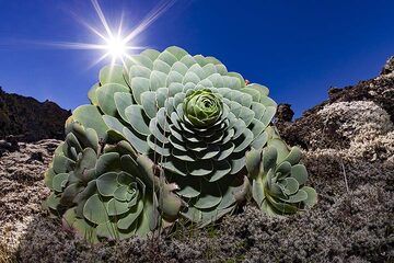
Une plante typique contenant de l'eau sur le champ de lave du volcan Tanganasoga sur l'île d'El Hierro. (Photo: Tobias Schorr)
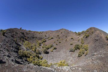
Le cratère ouest du volcan Tanganasoga sur l'île d'El Hierro. (Photo: Tobias Schorr)
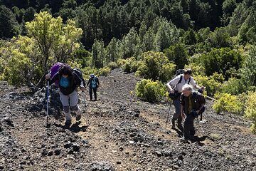
Le groupe monte sur les cratères du volcan Tanganasoga sur l'île d'El Hierro. Ce volcan pourrait entrer en éruption à nouveau et ces dernières années, de nombreux tremble...
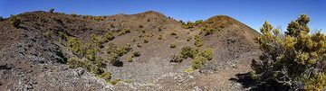
Vue panoramique sur le cratère Tanganasoga sur l'île d'El Hierro. (Photo: Tobias Schorr)
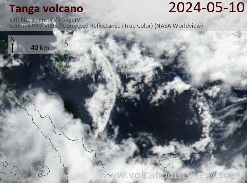
Latest satellite images