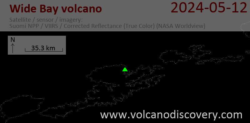
Wide Bay Volcano
Updated: 20 avril. 2024 12:02 GMT -
Pyroclastic cone 640 m / 2100 ft
Aleutian Islands, United States, 53.96°N / -166.62°W
Condition actuelle: normal / en sommeil (1 sur 5)
Aleutian Islands, United States, 53.96°N / -166.62°W
Condition actuelle: normal / en sommeil (1 sur 5)
[smaller] [larger]
Eruptions du volcan Wide Bay: None during the past 10,000 years
Less than few million years ago (Pleistocene)
Derniers séismes proches
| Heure | Mag. / Profondeur | Distance / Lieu | |||
| 17 avril 23:28 (Anchorage) | 0.1 8.8 km | 10 km au sud-ouest | Info | ||
| dimanche, 14 avril 2024 GMT (1 séisme) | |||||
| 13 avril 16:02 (Anchorage) | 0.1 4.6 km | 10.6 km au sud | Info | ||
Introduction
Wide Bay and Table Top cinder cones, at the NE tip of the triangular NW extension of Unalaska Island across the bay from the town of Dutch Harbor, blanket or fill late-Pleistocene topography. Both 792-m-high Table Top and the 640-m-high Wide Bay cones were considered to be Holocene in age, with the Wide Bay cone being among the youngest in a SW-NE-trending volcanic belt that passes through Makushin volcano (Miller et al., 1998), however, a later 40Ar/39Ar age of 19+/-15 ka was obtained from Table Top (Nye, 2008 pers. comm.). Lowermost flows at the base of the cone are glacially striated although the cone remains well shaped with the summit vent depression preserved. Wide Bay was considered to represent a magmatic system separate from that of Makushin volcano and Table Top cone (Nye, pers. comm. 2008).---
Source: Smithsonian / GVP volcano information
Wide Bay Volcano Photos
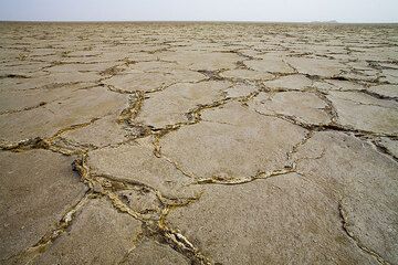
Lac Assale - une grande étendue de sel qui a été déposée par d'innombrables invasions d'eau de mer. Par endroits, l'épaisseur du sel atteint 5 kilomètres. Les Afar extrai...
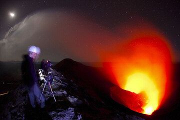
Volcano watchers on the rim of Yasur, above the active craters at night. (Photo: Tom Pfeiffer)
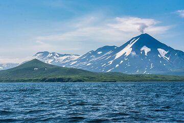
Angle plus large de Chikurachiki près de la baie de Shelihov. (Photo: Tom Pfeiffer)
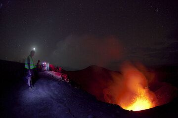
Notre groupe au bord du cratère du Yasur la nuit. (Photo: Tom Pfeiffer)
Latest satellite images