Fremrinámar Volcano
Updated: Apr 25, 2024 01:25 GMT -
shield volcano 939 m / 3,081 ft
Iceland, 65.43°N / -16.65°W
Current status: normal or dormant (1 out of 5)
Iceland, 65.43°N / -16.65°W
Current status: normal or dormant (1 out of 5)
Fremrinámar volcano (also written as Fremrinamur) is a volcanic system N of Askja and SE of Myvatn lake and includes the central Ketildyngja shield volcano and the Sveinar fissure swarm that extends 130 km to the north coast of Iceland.
The Kerlingardyngja shield volcano to the south is early Holocene in age. The latest eruption produced the Burfellshraun lava flow about 3,200 years ago that covered 75 km2.
[smaller] [larger]
Fremrinámar volcano eruptions: 800 BC (± 300 years)
Latest nearby earthquakes
| Time | Mag. / Depth | Distance / Location | |||
| Apr 20, 12:21 am (Reykjavik) | 0.6 4.8 km | Info | |||
| Wednesday, April 17, 2024 GMT (1 quake) | |||||
| Apr 17, 05:53 am (Reykjavik) | 0.8 4.9 km | Info | |||
| Monday, April 15, 2024 GMT (1 quake) | |||||
| Apr 15, 03:22 am (Reykjavik) | 1.7 4.5 km | 30 km (18 mi) to the SE | Info | ||
| Saturday, April 13, 2024 GMT (2 quakes) | |||||
| Apr 13, 11:31 pm (Reykjavik) | 0.9 5 km | Info | |||
| Apr 13, 08:04 pm (Reykjavik) | 1.4 4.9 km | 30 km (18 mi) to the SE | Info | ||
| Thursday, April 11, 2024 GMT (1 quake) | |||||
| Apr 11, 10:08 pm (Reykjavik) | 0.7 4.6 km | Info | |||
Background
Associated fissure systems, including the Sveinar fissure, extend 130 km to the northern coast of Iceland. The Kerlingardyngja shield volcano to the south is also part of the Fremrinámar volcanic system.Iceland's renowned Myvatn lake formed as a result of the eruption of the massive 70-km-long older Laxarhraun lava flow from Ketildyngja shield volcano about 3800 years ago. The latest eruption from Fremrinámar produced the Burfellshraun lava flow about 2500-3000 years ago.
---
Source: GVP, Smithsonian Institution
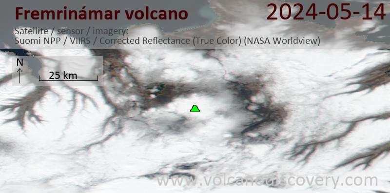
Latest satellite images