Iamelele Volcano
Updated: Apr 25, 2024 00:37 GMT -
lava domes 200 m / 656 ft
D'Entrecasteaux Islands (Papua New Guinea), -9.52°S / 150.53°E
Current status: normal or dormant (1 out of 5)
D'Entrecasteaux Islands (Papua New Guinea), -9.52°S / 150.53°E
Current status: normal or dormant (1 out of 5)
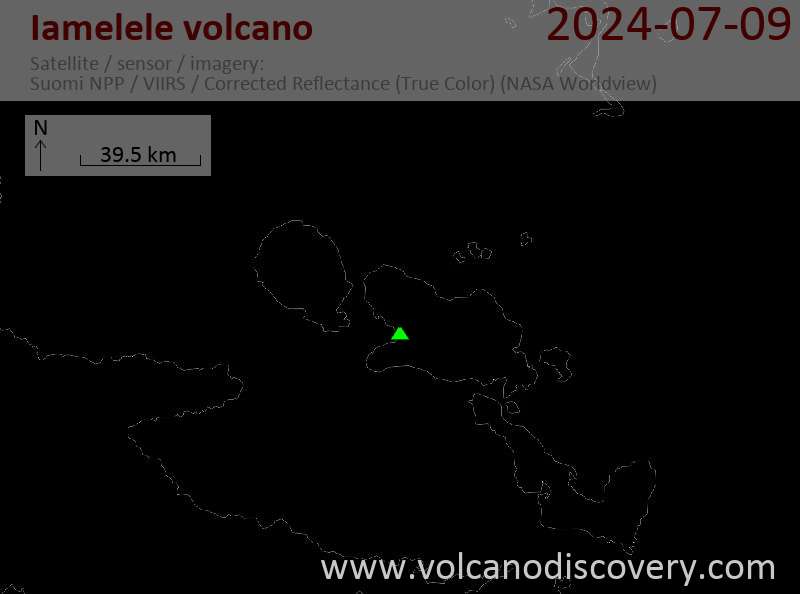
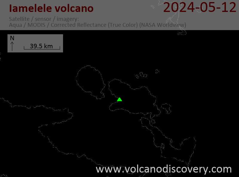
Iamelele volcano (also called Iamalele or Iamalele-Fagululu) is a group of young lava domes and active thermal fields inland from Seymour Bay in the western part of Fergusson Island, in the center of the D'Entrecasteaux island group of Papua New Guinea.
The thermal areas near Iamelele village contain boiling springs, mud pools, and fumaroles. There are at least 6 fumarole fields on a SSE-NNW trending line of 6 km length.
[smaller] [larger]
Iamelele volcano eruptions: no recent eruptions, but probably within the past 10,000 years
Latest nearby earthquakes
| Time | Mag. / Depth | Distance / Location | |||
Background
2 small lava domes are near Fagululu village. The largest is an obsidian bearing rhyolite dome of 150 m height with a flat top. 6 other lava domes are clustered around Salt Lake on the western side of the area.Latest satellite images