Baransky Volcano
Updated: 16 apr. 2024 08:25 GMT -
stratovolcano 1132 m / 3,714 ft
Isola di Iturup (Isole Curili), 45.1°N / 148.02°E
Current status: normal or dormant (1 out of 5)
Isola di Iturup (Isole Curili), 45.1°N / 148.02°E
Current status: normal or dormant (1 out of 5)
Baransky volcano (Sashiusu-dake or Sashiusudake in Japanese) is a stratovolcano in the center of Iturup Island, southern Kuriles. Only one historical eruption occurred in 1951 and consisted of weak explosions in the summit crater.
Strong fumarolic activity is in the summit and several flank craters. A geothermal field is found on the SW flank and contains hot springs and geysers. During a geothermal exploration in 1992 in this field, a small hydrothermal explosion took place inside an exploratory well and the exploration was abandoned.
[smaller] [larger]
Eruzioni del vulcano Baransky: 1951
Latest nearby earthquakes
| Data / ora | Mag. / Prof. | Distanza / Ubicazione | |||
Background
The Baransky stratovolcano was built on top of an older eroded volcano. It has a young summit lava dome cut by a NW-trending chain of small explosion craters. A group of flank cones farther to the NW with a similar NW-SE orientation is partially surrounded by lava flows from the central crater of the andesitic-dacitic volcano. Lava flows from Baransky descended 4-5 km SE to reach the Pacific Ocean along a broad front.Source: GVP / Smithsonian Baransky volcano information
Eruzioni del vulcano Baransky
1992 hydrothermal explosion near drill well
An exploration well into a zone of hot water 4.5 km SW of the summit of Baransky Volcano (in the Kipyaschaya River valley) was drilled in the summer of 1991. Drilling was temporarily halted at Baransky in early August, but no casing was installed. Two weeks later, a hydrothermal explosion occurred 50 m upslope, forming a crater >10 m in diameter.
A mixture of vapor, water, and a large quantity of rock fragments was erupted for several days, destroying vegetation within 50 m. The explosion was believed to have occurred when hot water moved up the borehole after drilling ceased, and escaped through its uncased walls into a permeable fissured zone near the surface.
Source: GVP / Smithsonian monthly reports
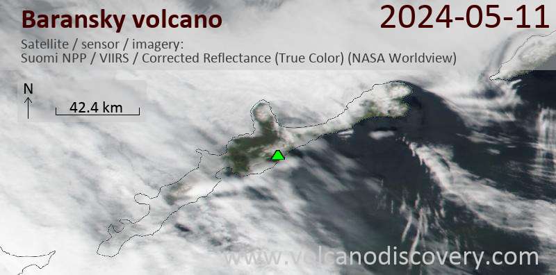
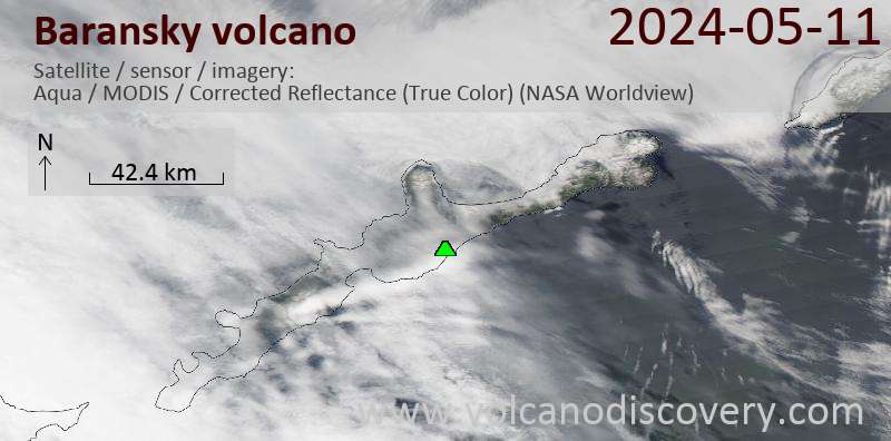
Latest satellite images