Contatti | RSS | EN | DE | EL | ES | FR | IT | RU

Denison Volcano

Updated: 19 apr. 2024 21:38 GMT -
Stratovolcano 2287 m / 7,503 ft
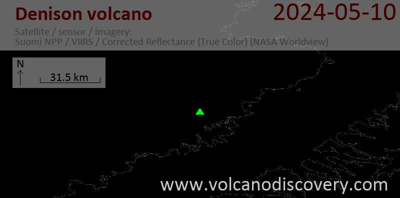
United States, Alaska Peninsula, 58.42°N / -154.45°W
Current status: normal or dormant (1 out of 5)

[smaller] [larger]
Typical eruption style: unspecified
Eruzioni del vulcano Denison: unknown, no recent eruptions

Latest nearby earthquakes

Data / oraMag. / Prof.Distanza / Ubicazione
19 apr 01:30 (Anchorage)
2.4

4.1 km
13 km a sud ovest 85 km N of Karluk, Alaska
Info
sabato, 13 aprile 2024 GMT (1 sismo)
12 apr 18:46 (Anchorage)
1.4

45 km
26 km a sud 69 km N of Karluk, Alaska
Info
mercoledì, 10 aprile 2024 GMT (2 sismi)
10 apr 08:54 (Anchorage)
1.1

0 km
3.9 km a sud ovest 91 km N of Karluk, Alaska
Info
9 apr 20:19 (Anchorage)
2.0

93 km
18 km a sud-est 80 km WNW of Aleneva, Alaska
Info
domenica, 14 aprile 2024 GMT (2 sismi)
14 apr 10:47 (Anchorage)
0.8

5 km
18 km a nord ovest 104 km N of Karluk, Alaska
Info
14 apr 10:30 (Anchorage)
0.8

1.1 km
17 km a ovest 91 km N of Karluk, Alaska
Info

Background

Mount Denison lies near the head of the Serpent Tongue, Hook, and Hallo glaciers NE of Snowy volcano. This poorly known section of Katmai National Park contains a cluster of four closely spaced and mostly ice-covered vents. Mount Denison lies at the SW end of this volcanic chain, which also includes Steller, Kukak, and Devils Desk volcanoes. Orientation of lava flows and a thick cross-bedded tephra deposit suggest that a vent is located near Mount Denison (Swanson, in Wood and Kienle 1990). The precise age of the most recent activity at Denison is not known.
---
Smithsonian / GVP volcano information

Latest satellite images

denison satellite image sat1denison satellite image sat2

No news in this list.

Su questa pagina:

Try our free app!
Volcanoes & Earthquakes - new app for Android
Android | iOS version

Piu su VolcanoDiscovery

Why is there advertising on this site?

Support us - Help us upgrade our services!

We truly love working to bring you the latest volcano and earthquake data from around the world. Maintaining our website and our free apps does require, however, considerable time and resources.
We need financing to increase hard- and software capacity as well as support our editor team. We're aiming to achieve uninterrupted service wherever an earthquake or volcano eruption unfolds, and your donations can make it happen! Every donation will be highly appreciated. If you find the information useful and would like to support our team in integrating further features, write great content, and in upgrading our soft- and hardware, please make a donation (PayPal or Online credit card payment).

Planned features:Thanks to your past donations, these features have been added recently:
Download and Upgrade the Volcanoes & Earthquakes app to get one of the fastest seismic and volcano alerts online:
Android | IOS
Thank you!
Sources: VolcanoDiscovery / VolcanoAdventures and other sources as noted.
Use of material: Most text and images on our websites are owned by us. Re-use is generally not permitted without authorization. Contact us for licensing rights.
Volcanoes & Earthquakes
VolcanoDiscovery Home
Vulcani | Earthquakes | Photos | News | App
Adventure & Study Travel
Tours to Volcanoes and Volcanic Areas: walking tours, photo tours, study tours
Tours & Dates | FAQ | About us
Get our newsletter!
Company info
Contact | Legal info | Terms & conditions
Follow us
Follow us on facebook Follow us on Instagram Follow us on Twitter Visit our Youtube channel
EN | DE | EL | ES | FR | IT | RU
VolcanoDiscovery GmbH, Germany, Reg. nr.: HRB 103744, EU Tax Id: DE 297 465 123 owned and created by
Dr. Tom Pfeiffer, volcanologist, volcano photographer, tour organizer member of
IAVCEI
IAVCEI
Vulkanologische Gesellschaft
Volcanological Society
Ecotourism Greece
Ecotourism Greece
RUV insurance
Insured by R+V
VolcanoDiscovery © 2004- All Rights Reserved | Privacy - Cookie Settings