Lemonosov Volcano
Updated: 20 apr. 2024 01:16 GMT -
cinder cones 1681 m / 5,515 ft
Isola di Paramushir (Isole Curili), 50.25°N / 155.43°E
Current status: normal or dormant (1 out of 5)
Isola di Paramushir (Isole Curili), 50.25°N / 155.43°E
Current status: normal or dormant (1 out of 5)
Lomonosov volcano is a group of 4 cinder cones and a lava dome less than 10,000 years old, that were constructed along a N-S. It is located south of Tatarinov volcano in southern Paramushir Island, Kuril Islands.
[smaller] [larger]
Eruzioni del vulcano Lemonosov: unknown, within the past 10,000 years
Latest nearby earthquakes
| Data / ora | Mag. / Prof. | Distanza / Ubicazione | |||
Background
The northnmost cone has only produced tephra. The second cone, Mount Boryask, erupted a 3.5-km-long lava flow that traveled to the east. The third cone erupted a lava flow that traveled 5.5 km to the east and NE. The Lomonosov lava dome, the highest point of the complex, is near the southern end of the group. It had produced a 7-km-long lava flow extending westward and almost reached the Sea of Okhotsk. The southernmost cone was the source of a lava flow that traveled 4 km initially SE and then east.Source: GVP volcano information
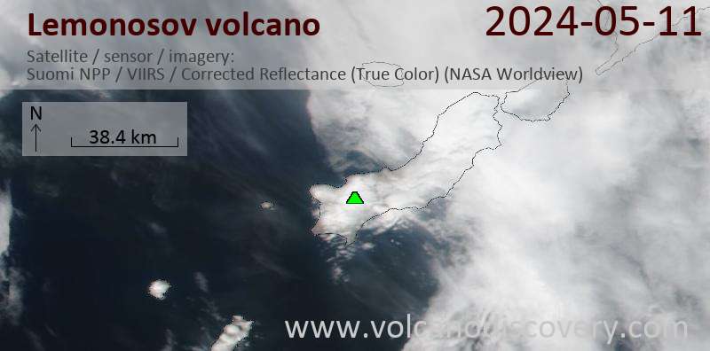
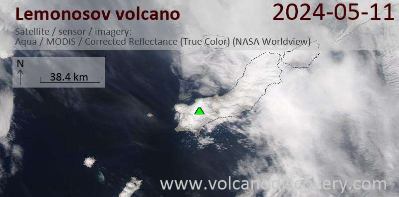
Latest satellite images