Paco Volcano
Updated: 24 apr. 2024 14:40 GMT -
stratovolcano 524 m / 1,719 ft
Mindanao (Filippine), 9.59°N / 125.52°E
Current status: normal or dormant (1 out of 5)
Mindanao (Filippine), 9.59°N / 125.52°E
Current status: normal or dormant (1 out of 5)
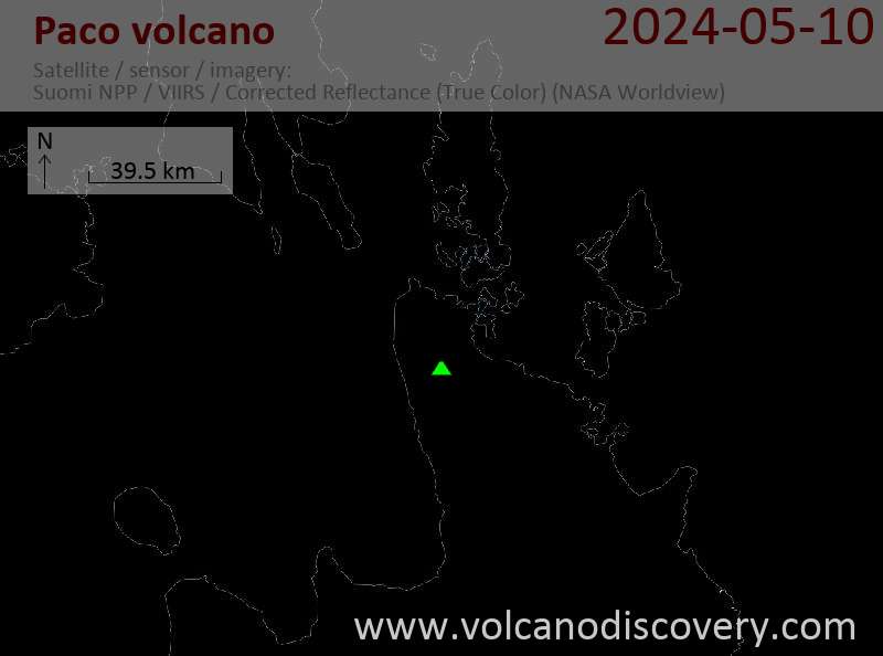
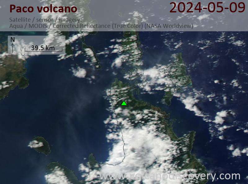
Paco volcano (also known as Manlayao or Paco-Manlayao) is located at the NE tip of Mindanao Island, Philippines.
It is an basaltic-dacitic stratovolcano complex truncated by 2 nested calderas, 2.5 and 5 km in diameter. The volcano is located east of the N-S-trending Philippine Fault which cuts through eastern Mindanao.
It has a breached crater with andesitic lava domes. The youngest dated rocks are from a basaltic lava flow between 90,000 and 10,000 years old. Local legends tell about a major caldera collapse eruption.
The age of the last activity is not known, although the volcano currently displays fumarolic activity.
Source: GVP Paco volcano information
[smaller] [larger]
Eruzioni del vulcano Paco: 90,000 yrs +/- 40,000 yrs ago
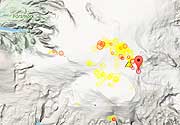
Latest nearby earthquakes
| Data / ora | Mag. / Prof. | Distanza / Ubicazione | |||
| 23 apr 01:10 (Manila) | 2.9 23 km | 21 km a sud ovest | Info | ||
| sabato, 20 aprile 2024 GMT (1 sismo) | |||||
| 20 apr 20:30 (Manila) | 2.8 24 km | 9.9 km a est | Info | ||
| domenica, 14 aprile 2024 GMT (1 sismo) | |||||
| 15 apr 05:22 (Manila) | 1.9 17 km | 27 km a nord | Info | ||
| sabato, 13 aprile 2024 GMT (1 sismo) | |||||
| 14 apr 03:05 (Manila) | 1.8 33 km | 24 km a est | Info | ||
Latest satellite images