Mayon Volcano
Updated: Apr 25, 2024 09:15 GMT -
Stratovolcano 2462 m / 8,077 ft
Luzon Island, Philippines, 13.26°N / 123.69°E
Current status: minor activity or eruption warning (3 out of 5)
Luzon Island, Philippines, 13.26°N / 123.69°E
Current status: minor activity or eruption warning (3 out of 5)
Last update: 6 Mar 2024 (Smithsonian / USGS Weekly Volcanic Activity Report)

The majestic, perfectly symmetrical Mayon stratovolcano seen from the northwest during its eruption in 2018.
Mayon, the most famous of the active volcanoes of the Philippines, is a perfect stratovolcano rising to 2462 m on Luzon Island. It erupts very frequently.
[smaller] [larger]
Mayon volcano eruptions: 1616, 1766, 1800, 1811(?), 1814, 1827, 1834, 1839, 1845, 1846, 1851, 1853, 1855, 1857, 1858, 1859, 1860, 1861, 1862, 1863(?), 1868, 1871-72, 1872, 1873, 1876, 1876, 1881-82, 1885, 1886-87, 1888, 1890, 1891-92, 1893, 1895, 1896, 1897, 1900, 1902(?), 1928, 1928, 1939, 1941, 1943, 1947, 1968, 1978, 1984, 1993, 1999-2000, 2001, 2002, 2003, 2003(?), 2004, 2006, 2009, 2013, 2018
Latest nearby earthquakes
| Time | Mag. / Depth | Distance / Location | |||
Background
Mayon is the archetype of a symmetrical stratovolcano and one of the world most active ones. It has frequent eruptions producing pyroclastic flows, mud flows and ash falls that repeatedly triggered large-scale evacuations. Mayon's most violent eruption, in 1814, killed more than 1200 people and devastated several towns.the volcano rises 2462 m above the Albay Gulf and has very steep upper slopes averaging 35-40 degrees capped by a small summit crater.
Historical records of eruptions date back to 1616 and range from strombolian to basaltic plinian, with cyclical activity beginning with basaltic eruptions, followed by longer term andesitic lava flows. Eruptions occur predominately from the central conduit and have also produced lava flows that travel far down the flanks. Pyroclastic flows and mudflows have commonly swept down many of the approximately 40 ravines that radiate from the summit and have often devastated populated lowland areas.
---
Source: adapted from GVP / Smithsonian Institution
Mayon Volcano Photos

Mayon volcano, Legaspi, Philippines, on 3 Feb 2012. (Photo: ThomasH)
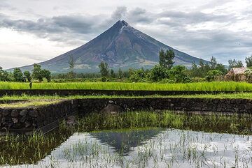
Mayon volcano mirrored in a flooded rice field (Photo: Tom Pfeiffer)

Mayon is one of the most impressive and perfectly symmetrical stratovolcanoes in the world. View is from northwest. (Photo: Tom Pfeiffer)

Moonlight illuminating Mayon and the landscape on its lower slopes, with coconut groves. (Photo: Tom Pfeiffer)
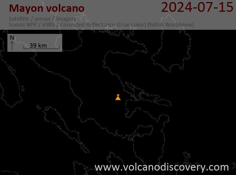
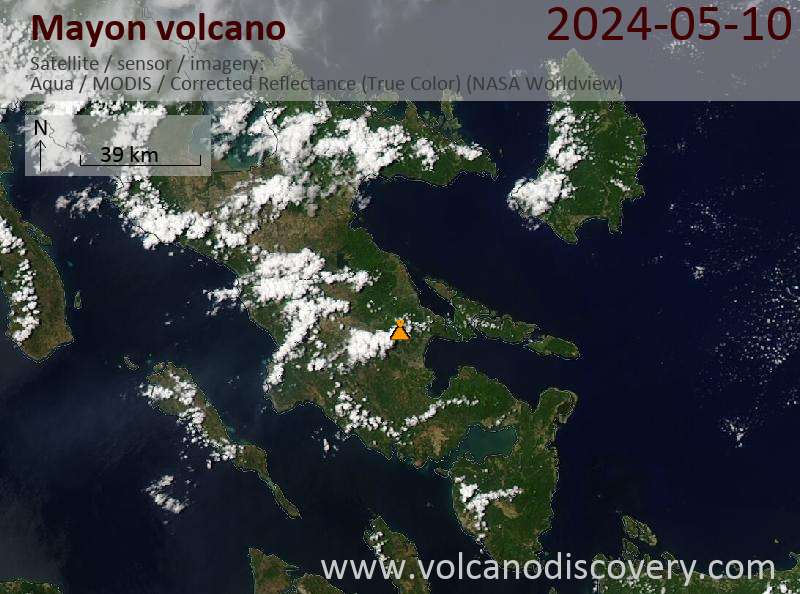
Latest satellite images