Waiowa Volcano
Updated: Apr 19, 2024 00:47 GMT -
pyroclastic cone 640 m / 2,100 ft
New Guinea (Papua New Guinea), -9.57°S / 149.08°E
Current status: normal or dormant (1 out of 5)
New Guinea (Papua New Guinea), -9.57°S / 149.08°E
Current status: normal or dormant (1 out of 5)
Waiowa volcano (also known as Goropu) is an isolated cinder cone on the mainland of New Guinea 19 km inland from Collingwood Bay in Oro Province.
The cone formed in 1943-44 through a series of explosive eruptions in an area without previous volcanic activity.
[smaller] [larger]
Waiowa volcano eruptions: 1943-44
Latest nearby earthquakes
| Time | Mag. / Depth | Distance / Location | |||
Background
The location of the new vent is along a fault-line near the margin of the Owen Stanley metamorphic belt. The dike penetrated a basement of Paleozoic to pre-Cambrian metamorphic rocks, and erupted trachyandesitic magma.---
Sources:
- Smithsonian / GVP volcano information
- B. P. Ruxton (1966) "A late pleistocene to recent rhyodacite-trachybasalt-basaltic latite volcanic association in north-east Papua", Bull. Volc., Volume 29, Number 1, pp. 347-369
Eruptions of Waiowa volcano
1943-44 eruption: a new volcano is born
Waiowa volcano was born in an area that previously had no volcanic vents and consisted of metamorphic rocks. Following 4 months of seismic activity, intermittent small phreatic explosions began on 18 September 1943 and continued until the first major magmatic explosion on 27 December. Additional explosions occurred on 13 February 13 and 23 July 1944. The eruptions produced pyroclastic flows and lahars, leveling 80 sq km of forest.
After the final eruption on 31 August, the low cone that had formed had a 500-m-wide, steep-walled crater, which is now filled with vegetation and contains a small lake.
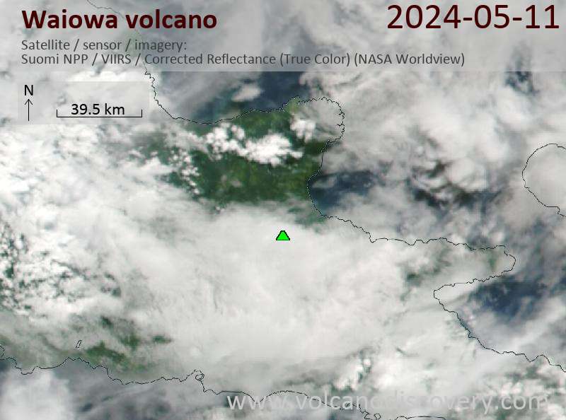
Latest satellite images