Kilimanjaro Volcano
Updated: Apr 16, 2024 12:42 GMT -
Stratovolcano 5895 m (19,340 ft)
Tanzania, -3.07°S / 37.36°E
Current status: normal or dormant (1 out of 5)
Tanzania, -3.07°S / 37.36°E
Current status: normal or dormant (1 out of 5)
Massive Kilimanjaro, Africa's highest mountain, consists of three large stratovolcanoes constructed along a NW-SE trend.
[smaller] [larger]
Explosive.
Kilimanjaro volcano eruptions: None in historic time (but probably active during the past 10,000 years)
Latest nearby earthquakes
| Time | Mag. / Depth | Distance / Location | |||
Background
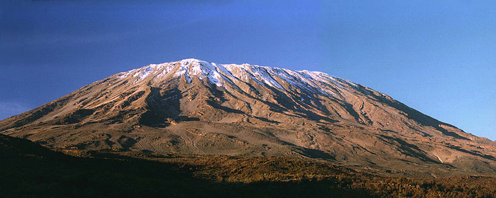
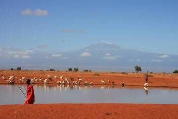
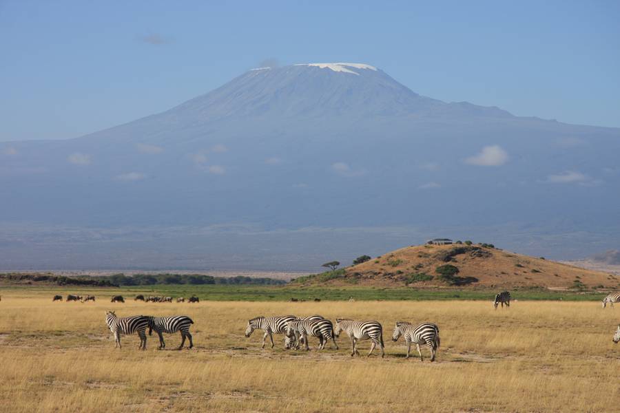
Massive Kilimanjaro, Africa's highest mountain, consists of three large stratovolcanoes constructed along a NW-SE trend. The ice-capped, 5895-m-high summit towers 5200 m above the surrounding plains. The older cone of Shira forms the broad WNW shoulder of Kilimanjaro, and the extensively dissected Mawenzi forms a prominent, sharp-topped peak on the ESE flank. Numerous satellitic cones occupy a rift zone to the NW and SE of Kibo, the central stratovolcano. A 2.4 x 3.6 km caldera gives the summit of Kibo an elongated, broad profile. Most of Kilimanjaro was constructed during the Pleistocene, but a group of youthful-looking nested summit craters are of apparent Holocene age.Source: Smithsonian GVP
Kilimanjaro Volcano Photos
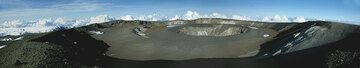
Panorama of Kilimanjaro's crater (Photo: Paul Nicholson)
Mount Kilimanjaro, view from kenian territory (Photo: WNomad)
Mount Kilimanjaro, view from kenyan territory (Photo: WNomad)
Latest satellite images