Klastline Group Volcano
Updated: Apr 16, 2024 14:58 GMT -
Pyroclastic cone(s) 1980 m / 6496 ft
Canada, 57.88°N / -130.2°W
Current status: (probably) extinct (0 out of 5)
Canada, 57.88°N / -130.2°W
Current status: (probably) extinct (0 out of 5)
[smaller] [larger]
Klastline Group volcano eruptions: None during the past 10,000 years
Less than few million years ago (Pleistocene)
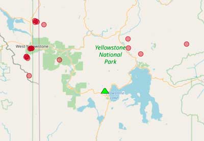
Latest nearby earthquakes
| Time | Mag. / Depth | Distance / Location | |||
Background
At least six vents on the Klastline Plateau, the largest of which is the volcanic neck of Castle Rock, are mapped as Quaternary and have produced linear ridges composed of subglacial piles of pillow lava and tuff-breccia (Souther, 1972). Rocks nearby the Stikine River volcanic field are Potassium-Argon dated from 4.6-5.4 million years ago (Hickson, in Wood and Kienle, 1990).---
Source: Smithsonian / GVP volcano information


