Matutum Volcano
Updated: Apr 19, 2024 10:46 GMT -
stratovolcano 2286 m / 7,500 ft
Mindanao (Philippines), 6.37°N / 125.07°E
Current status: normal or dormant (1 out of 5)
Mindanao (Philippines), 6.37°N / 125.07°E
Current status: normal or dormant (1 out of 5)
Matutum is a symmetrical stratovolcano located in southern Mindanao, NW of Sarangani Bay and 30 km NNW of General Santos City.
The mountain, a popular hiking destination, has a well-preserved summit cone and a 320 m wide and a vegetated 120 m deep summit crater. The crater is breached by 3 large canyons.
[smaller] [larger]
Matutum volcano eruptions: 1911(?), 1290 ± 40 years, 170 BC ± 75, 400 BC ± 50
Latest nearby earthquakes
| Time | Mag. / Depth | Distance / Location | |||
| Apr 16, 04:54 am (Manila) | 1.6 33 km | 17 km (10.6 mi) to the S | Info | ||
| Thursday, April 11, 2024 GMT (1 quake) | |||||
| Apr 11, 11:10 am (Manila) | 2.0 36 km | 28 km (17 mi) to the SW | Info | ||
| Tuesday, April 9, 2024 GMT (1 quake) | |||||
| Apr 10, 12:17 am (Manila) | 1.7 31 km | 20 km (13 mi) to the S | Info | ||
Background
The plains around Matatum volcano are covered by silicic pyroclastic-flow deposits, the youngest of which were radiocarbon dated at about 2000 years ago.2 thermal areas, Akmoan and Lianan, are found on the WSW flank of the volcano.
Tectonic setting of Matutum volcano
Matutum volcano belongs to the Cotabato Arc, caused by the eastward subduction of the oceanic Celebes Sea microplate along the Cotabato trench under the southern tip of Mindanao Island, which belongs to the Philippine Mobile Belt. Mt Matutum is located 130 km from the trench. Deep-seismic studies show that the subducting slab is only 75-85 km below Mt Matutum volcano.
---
Reference:
Yumul et al (2008) "Tectonic setting of a composite terrane: A review of the Philippine island arc system", Geosciences Journal, v 12 (1), pp 7-17
Eruptions of Matutum volcano
1911 possible eruption
"Smoke" (i.e. volcanic ash) was seen at the volcano on 7 March 1911. This may indicate a probably small phreatic eruption. (Neumann van Padang, 1953)
"Smoke" (i.e. volcanic ash) was seen at the volcano on 7 March 1911. This may indicate a probably small phreatic eruption. (Neumann van Padang, 1953)
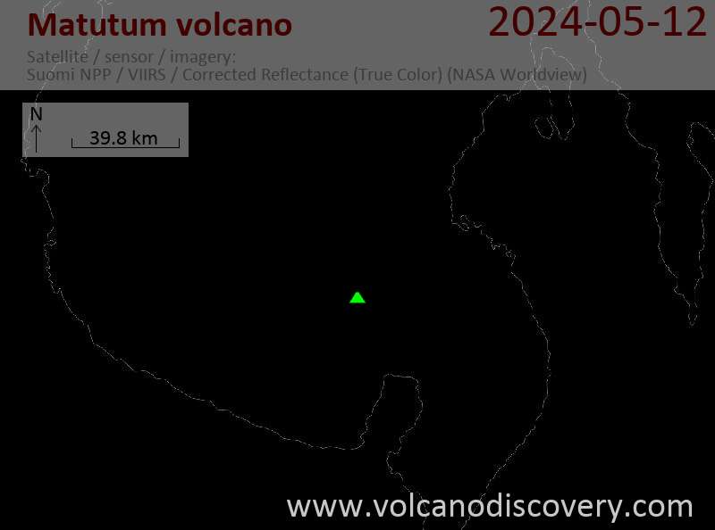
Latest satellite images