Contact | RSS | EN | DE | EL | ES | FR | IT | RU

Myoko Volcano

Updated: Apr 19, 2024 09:02 GMT -
stratovolcano 2446 m / 8,025 ft
Honshu (Japan), 36.89°N / 138.12°E
Current status: normal or dormant (1 out of 5)

Myoko volcano (or Myokosan volcano) is a steep basaltic-to-dacitic stratovolcano north of Nagano City that overlooks the popular resort of Lake Nojiri below its SE flank.
Myoko's summit is formed by a lava dome filling most of a 3-km-wide caldera which is widely breached to the east.
No historical eruptions are known at Myoko, but there is constant solfataric activity between the dome and the south caldera wall at a place where sulfur was once mined.

[smaller] [larger]
Typical eruption style: explosive
Myoko volcano eruptions: ca. 2360 BC, 3850 BC

Latest nearby earthquakes

No recent earthquakes
TimeMag. / DepthDistance / Location

Background

Myoko volcano was constructed during 4 stages beginning about 300,000 years ago, each evolving from basaltic to andesitic and dacitic eruptions. The latest eruptive stage began about 43,000 years ago. Several episodes of edifice collapse at Myoko during the late Pleistocene to early Holocene have produced major debris avalanches that traveled to the east and NE. Myoko produced pyroclastic flows down the eastern flanks of the volcano during the mid Holocene about 5800 and 4200 years ago, and the latest dated eruption produced pyroclastic surges about 2800-2500 years ago.
---
from: Myoko volcano information (Smithsonian / GVP)

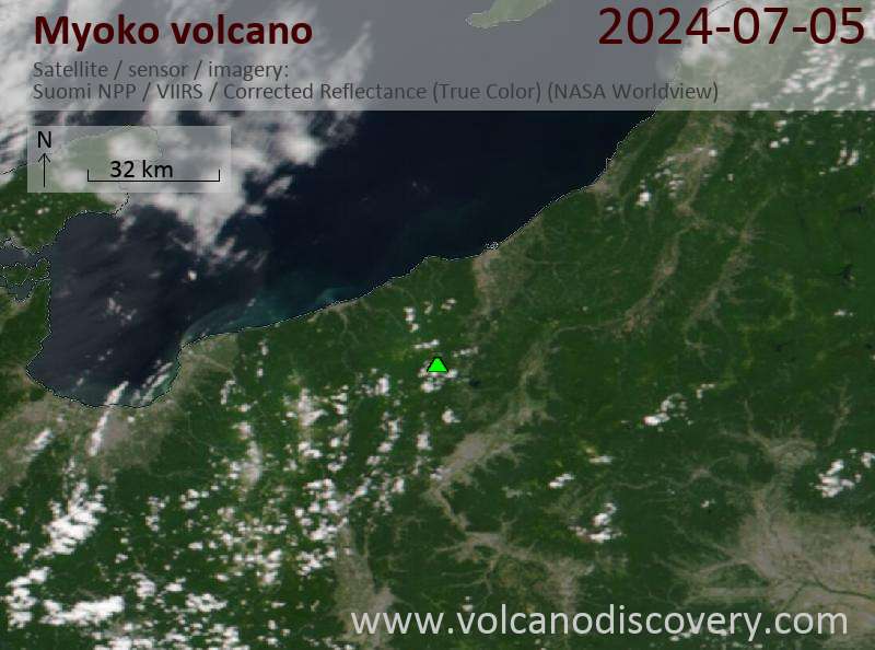
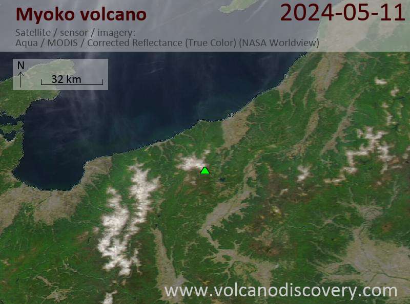
Latest satellite images

Myoko satellite image sat1Myoko satellite image sat2

No news in this list.

On this page:

Try our free app!
Volcanoes & Earthquakes - new app for Android
Android | iOS version

More on VolcanoDiscovery

Why is there advertising on this site?

Support us - Help us upgrade our services!

We truly love working to bring you the latest volcano and earthquake data from around the world. Maintaining our website and our free apps does require, however, considerable time and resources.
We need financing to increase hard- and software capacity as well as support our editor team. We're aiming to achieve uninterrupted service wherever an earthquake or volcano eruption unfolds, and your donations can make it happen! Every donation will be highly appreciated. If you find the information useful and would like to support our team in integrating further features, write great content, and in upgrading our soft- and hardware, please make a donation (PayPal or Online credit card payment).

Planned features:Thanks to your past donations, these features have been added recently:
Download and Upgrade the Volcanoes & Earthquakes app to get one of the fastest seismic and volcano alerts online:
Android | IOS
Thank you!
Sources: VolcanoDiscovery / VolcanoAdventures and other sources as noted.
Use of material: Most text and images on our websites are owned by us. Re-use is generally not permitted without authorization. Contact us for licensing rights.
Volcanoes & Earthquakes
VolcanoDiscovery Home
Volcanoes | Earthquakes | Photos | Volcano News | App
Adventure & Study Travel
Tours to Volcanoes and Volcanic Areas: walking tours, photo tours, study tours
Tours & Dates | FAQ | About us
Get our newsletter!
Company info
Contact | Legal info | Terms & conditions
Follow us
Follow us on facebook Follow us on Instagram Follow us on Twitter Visit our Youtube channel
EN | DE | EL | ES | FR | IT | RU
VolcanoDiscovery GmbH, Germany, Reg. nr.: HRB 103744, EU Tax Id: DE 297 465 123 owned and created by
Dr. Tom Pfeiffer, volcanologist, volcano photographer, tour organizer member of
IAVCEI
IAVCEI
Vulkanologische Gesellschaft
Volcanological Society
Ecotourism Greece
Ecotourism Greece
RUV insurance
Insured by R+V
VolcanoDiscovery © 2004- All Rights Reserved | Privacy - Cookie Settings