Nelangaapan Volcano
Updated: Apr 25, 2024 07:28 GMT -
Unknown 687 m / 2254 ft
Philippines, 9.93°N / 125.27°E
Current status: (probably) extinct (0 out of 5)
Philippines, 9.93°N / 125.27°E
Current status: (probably) extinct (0 out of 5)
[smaller] [larger]
Nelangaapan volcano eruptions: None during the past 10,000 years
Less than few million years ago (Pleistocene)
Latest nearby earthquakes
| Time | Mag. / Depth | Distance / Location | |||
| Apr 21, 07:51 am (Manila) | 3.7 6 km | 14 km (8.8 mi) to the SE | Info | ||
| Thursday, April 18, 2024 GMT (1 quake) | |||||
| Apr 18, 09:32 pm (Manila) | 2.9 19 km | 16 km (9.6 mi) to the E | Info | ||
| Monday, April 15, 2024 GMT (1 quake) | |||||
| Apr 15, 02:23 pm (Manila) | 2.0 35 km | Info | |||
| Sunday, April 14, 2024 GMT (2 quakes) | |||||
| Apr 15, 05:57 am (Manila) | 1.5 25 km | Info | |||
| Apr 15, 05:22 am (Manila) | 1.9 17 km | Info | |||
| Saturday, April 13, 2024 GMT (1 quake) | |||||
| Apr 14, 05:39 am (Manila) | 1.9 32 km | Info | |||
Background
This volcanic edifice was mapped at the SE tip of Panaon Island; a K-Ar date of 1.61 +/- 0.08 million years was obtained from a sample.---
Source: Smithsonian / GVP volcano information
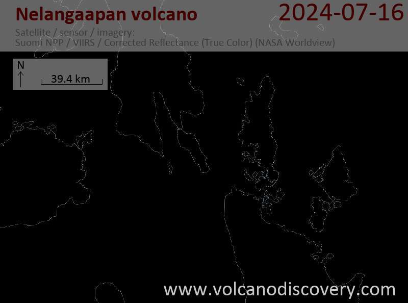
Latest satellite images