Ambitle Volcano
Updated: Apr 19, 2024 00:49 GMT -
stratovolcano 450 m / 1,476 ft
New Ireland Province (Papua New Guinea), -4.08°S / 153.65°E
Current status: normal or dormant (1 out of 5)
New Ireland Province (Papua New Guinea), -4.08°S / 153.65°E
Current status: normal or dormant (1 out of 5)
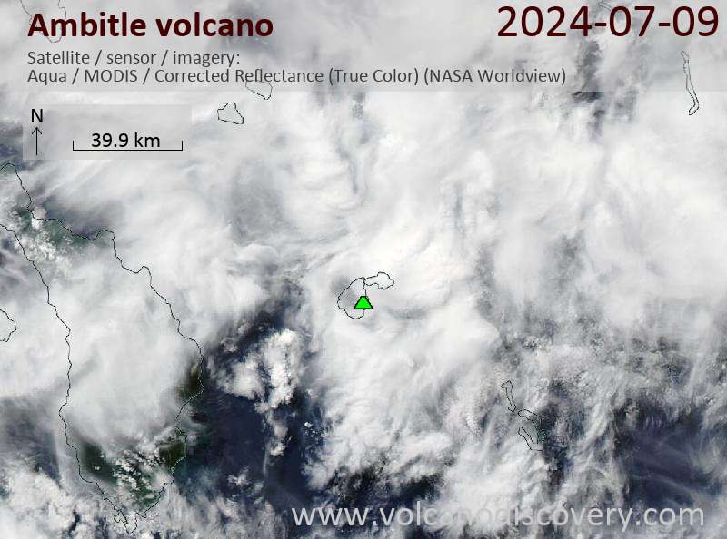
Ambitle volcano is an active stratovolcano on the 16 km wide N-S and 13 km E-W Ambtitle Island, located 50 km off the SE coast of New Ireland, Papua New Guinea.
Ambtitle is the largest of the Feni Islands, along with the extinct Pleistocene Babase Island / volcano, which are near the SE end of a volcanic island chain north and east of New Ireland.
Ambitle volcano contains a 3 km wide caldera and lava domes. It last erupted about 2300 years ago from a vent on the east side of one of the lava domes inside the caldera forming an explosion crater (maar).
Ambitle is particularly interesting for its shallow-marine hydrothermal vent system of Tutum Bay, which emits hot, acidic, arsenic-rich fluids into sea water.
[smaller] [larger]
Ambitle volcano eruptions: 350 BC ± 100 years (radiocarbon dated)
Latest nearby earthquakes
| Time | Mag. / Depth | Distance / Location | |||
Background
Ambitle is a dominantly Pliocene-to-Pleistocene stratovolcano characterized by a variety of alkalic rocks types. A 3-km-wide central caldera was constructed over Tertiary marine limestone deposits and is occupied by late-Pleistocene trachytic lava domes.Geothermal activity
Geothermal areas with of hot and boiling springs, mud pools, and low-temperature fumaroles are located mainly on the western floor of the caldera and near the western edge of a central lava dome. Other thermal areas occur near breaches in the caldera and along the western coast, including the shallow submarine springs of Tutum Bay.
Tutum Bay arsenic-rich hot springs
Submarine hydrothermal activity occurs in the Tutum Bay (the Waramung springs) in 5-10 m of water in a shallow reef just off the western end of the island. The fumaroles have temperature from 67-100 deg C and pH values ranging from 1.9 to 9.1. The shallow hydrothermal vents erupt in Tutum Bay emit hot, acidic, arsenic-rich, chemically reduced fluids into cool, alkaline, oxygenated seawater. More than 1.5 kg of arsenic a day is released at the Waramung spring alone. The interaction of these fluids with arsenite oxidizing and arsenate reducing microorganisms has been a recent subject of a phd thesis. Despite the amount of Arsenic released into the bay, corals, clams, and fish do not show a response to the elevated levels.
Sources:
- Roy E. Price (2008) "Biogeochemical cycling of arsenic in the shallow marine hydrothermal system of Tutum Bay, Ambitle Island, Papua New Guinea", PhD thesis, University of South Florida, available at: scholarcommons.usf.edu/etd/460/
- Pichler et al. (1999) "The chemical composition of shallow-water hydrothermal fluids in Tutum Bay, Ambitle Island, Papua New Guinea and their effect on ambient seawater." Marine Chemistry 64: 229-252
- Price and Pichler (2005) "Distribution, speciation and bioavailability of arsenic in a shallow-water submarine hydrothermal system, Tutum Bay, Ambitle Island, PNG." Chemical Geology 224:122-135.
- Smithsonian / GVP volcano information
Latest satellite images