Hengill Volcano
Updated: Apr 18, 2024 13:41 GMT -
Crater rows 803 m (2,634 ft)
Iceland, 64.18°N / -21.33°W
Current status: normal or dormant (1 out of 5)
Iceland, 64.18°N / -21.33°W
Current status: normal or dormant (1 out of 5)
Last update: 14 Mar 2022 (small earthquake swarms under Hengill volcano caused by pumping of water)
The Hengill volcanic system, cutting through Thingvallavatn lake, consists of a series of NE-SW-trending fissure vents, crater rows, and small shield volcanoes occupying a strongly faulted graben.
[smaller] [larger]
Effusive (lava flows).
Hengill volcano eruptions: none confirmed during historic times
Latest nearby earthquakes
| Time | Mag. / Depth | Distance / Location | |||
| Apr 15, 04:54 pm (Reykjavik) | 2.8 3.5 km | 18 km (11 mi) to the S | Info | ||
| Wednesday, April 10, 2024 GMT (2 quakes) | |||||
| Apr 10, 08:32 am (Reykjavik) | 2.4 4.6 km | 20 km (12 mi) to the S | Info | ||
| Apr 10, 08:29 am (Reykjavik) | 2.2 4.4 km | 20 km (12 mi) to the S | Info | ||
| Monday, April 8, 2024 GMT (1 quake) | |||||
| Apr 8, 11:01 pm (Reykjavik) | 2.3 5.8 km | 29 km (18 mi) to the SW | Info | ||
| Tuesday, April 9, 2024 GMT (1 quake) | |||||
| Apr 9, 06:14 am (Reykjavik) | 1.8 5.7 km | 29 km (18 mi) to the SW | Info | ||
| Monday, April 8, 2024 GMT (1 quake) | |||||
| Apr 8, 10:05 pm (Reykjavik) | 1.8 5.4 km | 29 km (18 mi) to the SW | Info | ||
Background
Hengill is the easternmost of a series of four closely spaced basaltic fissure systems that cut diagonally across the Reykjanes Peninsula and lies at the triple junction of the Reykjanes Peninsula volcanic zone, the Western volcanic zone, and the South Iceland seismic zone. Postglacial lava flows surface much of the volcanic system. The latest eruption was radiocarbon dated about 1900 years before present. An eruption in the Hellisheidi area once thought to have occurred around 1000 AD at the time of a meeting of the Icelandic parliament at Thingvellir is now known to have occurred at a vent about 5 km away in the Brennisteinsfjöll volcanic system. Geothermally heated greenhouses, hot springs, and geysers are found at the Hveragerdi thermal area.---
Source: GVP, Smithsonian Institute
Hengill Volcano Photos
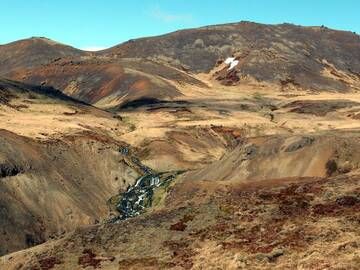
Hengill geothermal area, Iceland (Photo: Janka)
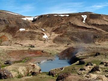
Natural hot water pond in Hengill geothermal area, Iceland (Photo: Janka)
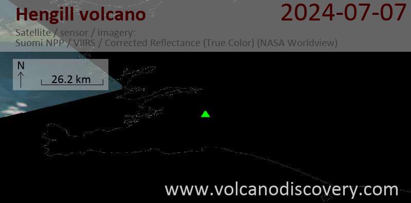
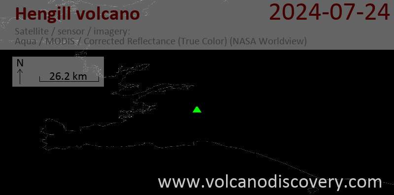
Latest satellite images