Contact | RSS | EN | DE | EL | ES | FR | IT | RU

Kapenga Volcano

Updated: Apr 25, 2024 00:08 GMT -
Caldera(s) 840 m / 2756 ft
New Zealand, -38.27°S / 176.27°E
Current status: (probably) extinct (0 out of 5)

[smaller] [larger]
Typical eruption style: unspecified
Kapenga volcano eruptions: None during the past 10,000 years
Less than 2.58 million years ago (Pleistocene)

Latest nearby earthquakes

TimeMag. / DepthDistance / Location
Apr 19, 02:08 pm (Auckland)
2.3

156 km
4.8 km northwest of Rotorua, Bay of Plenty, New Zealand
Info
Wednesday, April 17, 2024 GMT (1 quake)
Apr 17, 10:30 pm (Auckland)
2.4

110 km
New Zealand
Info
Monday, April 15, 2024 GMT (1 quake)
Apr 15, 09:59 pm (Auckland)
2.4

136 km
New Zealand
Info
Saturday, April 13, 2024 GMT (1 quake)
Apr 13, 08:52 pm (Auckland)
2.6

164 km
17 km (10.6 mi) to the SE New Zealand
Info
Friday, April 12, 2024 GMT (1 quake)
Apr 12, 09:44 pm (Auckland)
3.0

129 km
24 km (15 mi) to the NE New Zealand
Info
Thursday, April 11, 2024 GMT (1 quake)
Apr 11, 05:00 pm (Auckland)
2.4

75 km
New Zealand
Info

Background

The Kapenga volcanic center was active from sometime between 890 to 710 thousand years ago (ka) and again from about 280 to 270 ka and contains two collapse structures and rhyolitic lava domes (Wilson et al. 1984, Houghton et al. 1995). The NE center, previously considered part of the Okataina center, contains numerous pre-50 ka rhyolitic domes and was the source of the ca. 65 ka Earthquake Flat Breccia. No eruptive activity is known from the Holocene.
---
Source: Smithsonian / GVP volcano information

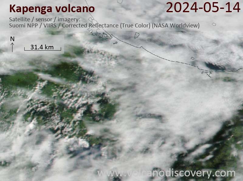
Latest satellite images

kapenga satellite image sat1kapenga satellite image sat2
News

No news in this list.

On this page:

Try our free app!
Volcanoes & Earthquakes - new app for Android
Android | iOS version

More on VolcanoDiscovery

Why is there advertising on this site?

Support us - Help us upgrade our services!

We truly love working to bring you the latest volcano and earthquake data from around the world. Maintaining our website and our free apps does require, however, considerable time and resources.
We need financing to increase hard- and software capacity as well as support our editor team. We're aiming to achieve uninterrupted service wherever an earthquake or volcano eruption unfolds, and your donations can make it happen! Every donation will be highly appreciated. If you find the information useful and would like to support our team in integrating further features, write great content, and in upgrading our soft- and hardware, please make a donation (PayPal or Online credit card payment).

Planned features:Thanks to your past donations, these features have been added recently:
Download and Upgrade the Volcanoes & Earthquakes app to get one of the fastest seismic and volcano alerts online:
Android | IOS
Thank you!
Sources: VolcanoDiscovery / VolcanoAdventures and other sources as noted.
Use of material: Most text and images on our websites are owned by us. Re-use is generally not permitted without authorization. Contact us for licensing rights.
Volcanoes & Earthquakes
VolcanoDiscovery Home
Volcanoes | Earthquakes | Photos | Volcano News | App
Adventure & Study Travel
Tours to Volcanoes and Volcanic Areas: walking tours, photo tours, study tours
Tours & Dates | FAQ | About us
Get our newsletter!
Company info
Contact | Legal info | Terms & conditions
Follow us
Follow us on facebook Follow us on Instagram Follow us on Twitter Visit our Youtube channel
EN | DE | EL | ES | FR | IT | RU
VolcanoDiscovery GmbH, Germany, Reg. nr.: HRB 103744, EU Tax Id: DE 297 465 123 owned and created by
Dr. Tom Pfeiffer, volcanologist, volcano photographer, tour organizer member of
IAVCEI
IAVCEI
Vulkanologische Gesellschaft
Volcanological Society
Ecotourism Greece
Ecotourism Greece
RUV insurance
Insured by R+V
VolcanoDiscovery © 2004- All Rights Reserved | Privacy - Cookie Settings