Santiago Volcano
Updated: Apr 19, 2024 19:46 GMT -
Shield volcano 920 m / 3,018 ft
Galápagos Islands, Ecuador, -0.22°S / -90.77°W
Current status: normal or dormant (1 out of 5)
Galápagos Islands, Ecuador, -0.22°S / -90.77°W
Current status: normal or dormant (1 out of 5)
Last update: 10 Mar 2022
[smaller] [larger]
Santiago volcano eruptions: 1906
Latest nearby earthquakes
| Time | Mag. / Depth | Distance / Location | |||
Background
The elongated shield volcano of Santiago Island, also known as San Salvador Island or James Island, is dotted with Holocene pyroclastic cones. Fresh-looking lava flows from these cones blanket the flanks of the volcano. The 920-m-high summit ridge, lined with a chain of NW-trending cinder and spatter cones, is located at the NW end of the island. Prominent flank tuff cones occur at the western and eastern coasts of Santiago. The most recent activity at Santiago has been concentrated at the NW and SE ends of the island. The spectacular pahoehoe lava flows at James and Sullivan Bays, on opposite ends of the island, were erupted during historical time. The James Bay flows were dated by fragments of marmalade pots left by buccaneers in 1684 that were subsequently embedded in the lava flows described by Charles Darwin in 1835.---
Smithsonian / GVP volcano information
Santiago Volcano Photos

Santiago town in front of volcano Toliman, Atitlan Lake, Guatemala (Photo: WNomad)
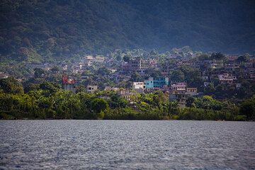
Santiago town at the feet of Toliman volcano (Photo: Tom Pfeiffer)

Volcanoes Toliman and Atitlan at Atitlan Lake, Santiago A., Guatemala (Photo: WNomad)
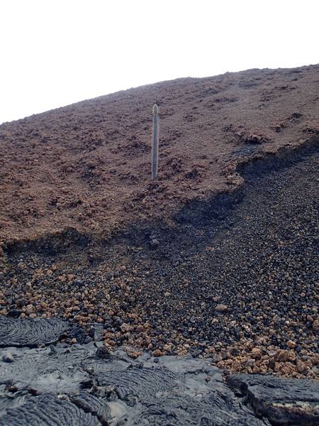
Cactus on Santiago volcano (Galapagos Islands) (Photo: Ursula Lehmann)
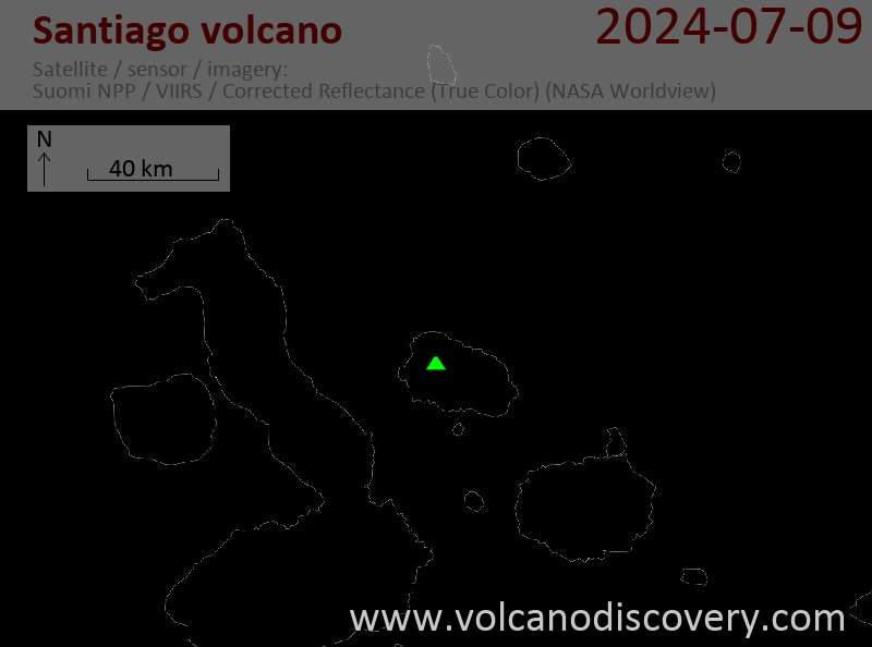
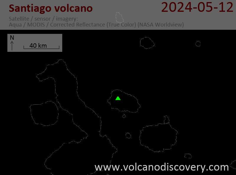
Latest satellite images