Palinuro Volcano
Updated: Apr 24, 2024 03:33 GMT -
Submarine caldera -70 m / -230 ft
Tyrrhenian Sea, Italy, 39.48°N / 14.83°E
Current status: normal or dormant (1 out of 5)
Tyrrhenian Sea, Italy, 39.48°N / 14.83°E
Current status: normal or dormant (1 out of 5)
Palinuro is a seamount in the Tyrrhenian Sea north of the Eolian Islands. It rises nearly 3000 m to within 70 m of the sea surface and has a horseshoe-shaped summit caldera. Marine and on-land ash deposits dated to approx. 10,000 years ago are believed to be from eruptions of Palinuro volcano.
[smaller] [larger]
Palinuro volcano eruptions: approx. 10,000 years ago
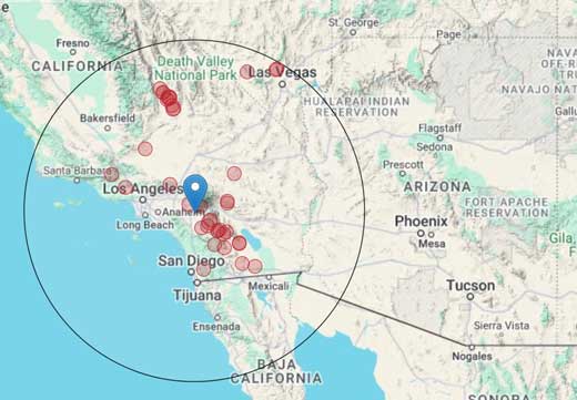
Latest nearby earthquakes
| Time | Mag. / Depth | Distance / Location | |||


