Связаться | RSS | EN | DE | EL | ES | FR | IT | RU

Cabalian Volcano

Updated: 19 апр 2024 07:29 GMT -
stratovolcano 945 m / 3,100 feet
Центральные Филиппины (Филиппины), 10.29°N / 125.22°E
Current status: normal or dormant (1 out of 5)

Mount Cabalían volcano is located on the SE tip of Leyte Island, Philippines. It is is an andesitic stratovolcano with steep radial erosion valleys and ridges that are moderately to thickly vegetated.
It contains a summit crater filled by a lake. The crater rim is irregular and forms 2 peaks on the S side. A recent pyroclastic flow deposit was radiocarbon dated to be only about 150 years old. Hot springs with temperatures of up to 64 deg C are found on the east and west flanks of Cabalían.

[smaller] [larger]
Typical eruption style: explosive
Cabalian volcano eruptions: 1820 AD ± 30 years (radiocarbon dated)

Latest nearby earthquakes

ВремяМагнитуда / ГлубинаРасстояние / Местоположение
14 апр 05:39 (Manila)
1.9

32 km
26 km к югу Southern Leyte, Восточные Висайи, 43 km к северо-западу от Серигао Сити, Филиппины
Более
Четверг, 11 апреля 2024 GMT (1 земл.)
11 апр 09:34 (Manila)
2.1

19 km
15 km к северу Филиппинское море, Calabarzon, 7.5 km к северу от Hinundayan, Филиппины
Более
Среда, 10 апреля 2024 GMT (1 земл.)
10 апр 17:12 (Manila)
3.3

1 km
28 km к югу Leyte, Philippines
Более
Воскресенье, 7 апреля 2024 GMT (1 земл.)
7 апр 23:21 (Manila)
2.2

21 km
8.1 km к северу 48 km к северо-востоку от Maasin, Филиппины
Более

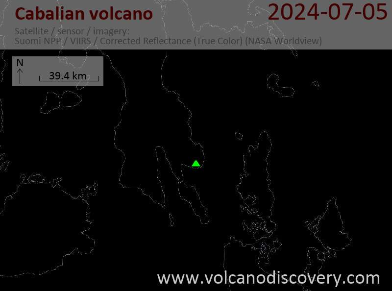
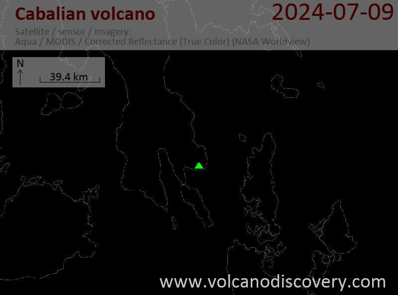
Latest satellite images

Cabalian satellite image sat1Cabalian satellite image sat2

No news in this list.

На этой странице:

Попробуйте наше бесплатное приложение!
Volcanoes & Earthquakes - new app for Android
Android | версия iOS

Подробнее о VolcanoDiscovery

Why is there advertising on this site?

Support us - Help us upgrade our services!

We truly love working to bring you the latest volcano and earthquake data from around the world. Maintaining our website and our free apps does require, however, considerable time and resources.
We need financing to increase hard- and software capacity as well as support our editor team. We're aiming to achieve uninterrupted service wherever an earthquake or volcano eruption unfolds, and your donations can make it happen! Every donation will be highly appreciated. If you find the information useful and would like to support our team in integrating further features, write great content, and in upgrading our soft- and hardware, please make a donation (PayPal or Online credit card payment).

Planned features:Thanks to your past donations, these features have been added recently:
Download and Upgrade the Volcanoes & Earthquakes app to get one of the fastest seismic and volcano alerts online:
Android | IOS
Thank you!
Sources: VolcanoDiscovery / VolcanoAdventures and other sources as noted.
Use of material: Most text and images on our websites are owned by us. Re-use is generally not permitted without authorization. Contact us for licensing rights.
Volcanoes & Earthquakes
VolcanoDiscovery Home
Вулканы | Землетрясения | Photos | News | App
Adventure & Study Travel
Tours to Volcanoes and Volcanic Areas: walking tours, photo tours, study tours
Tours & Dates | FAQ | About us
Get our newsletter!
Company info
Contact | Legal info | Terms & conditions
Follow us
Follow us on facebook Follow us on Instagram Follow us on Twitter Visit our Youtube channel
EN | DE | EL | ES | FR | IT | RU
VolcanoDiscovery GmbH, Germany, Reg. nr.: HRB 103744, EU Tax Id: DE 297 465 123 owned and created by
Dr. Tom Pfeiffer, volcanologist, volcano photographer, tour organizer member of
IAVCEI
IAVCEI
Vulkanologische Gesellschaft
Volcanological Society
Ecotourism Greece
Ecotourism Greece
RUV insurance
Insured by R+V
VolcanoDiscovery © 2004- All Rights Reserved | Privacy - Cookie Settings