Chirip Volcano
Updated: 25 апр 2024 11:52 GMT -
stratovolcano 1587 m / 5,207 ft
Остров Итуруп (Курильские острова), 45.34°N / 147.93°E
Current status: normal or dormant (1 out of 5)
Остров Итуруп (Курильские острова), 45.34°N / 147.93°E
Current status: normal or dormant (1 out of 5)
Chirip volcano (also written as Chirippusan) is a twin volcano forming the Chirip peninsula which streches NW into the Okhotsk Sea from central Iturup Island, Kurile Island, 230 km north of Hokkaido, Japan.
The 2 stratovolcanoes are Chirip volcano in the N and Bogdan Khmelnitskii to the S. They overly an older volcanic edifice. The lavas erupted from both volcanoes are dominantly basaltic, which is unusual for subduction zone volcanoes.
Only 2 historic eruptions are known. The last eruption in 1860 occurred from a vent SE of the summit of Bogdan Khmelnitskii volcano.
[smaller] [larger]
Chirip volcano eruptions: 1860, 1843
Latest nearby earthquakes
| Время | Магнитуда / Глубина | Расстояние / Местоположение | |||
Background
Lava flows from Chirip and Bogdan Khmelnitskii volcanoes are cut by a large, 4-km-wide depression on the west side.Chirip volcano has a shallow summit crater, partially filled by a small lake, that has fed lava flows down all sides. Flank cones are located on the northern flank of Chirip.
Lava flows from Bogdan Khmelnitskii (also known as Minami-Chirippu or South Chirippu) reach the coast on both the east and west sides.
Source: Smithsonian GVP Chirip volcano information
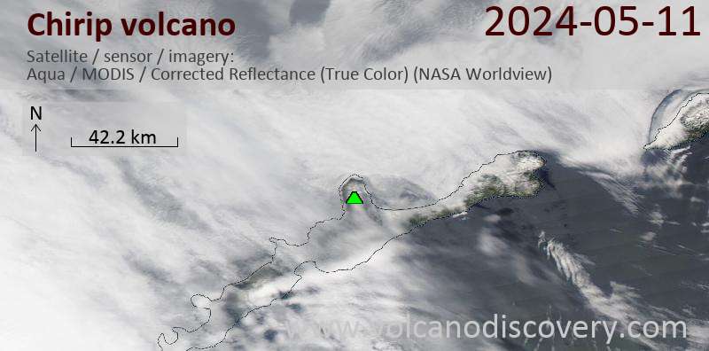
Latest satellite images