Meager Volcano
Updated: 20 апр 2024 01:04 GMT -
complex volcano 2680 m / 8,793 ft
Канада, 50.63°N / -123.5°W
Current status: normal or dormant (1 out of 5)
Канада, 50.63°N / -123.5°W
Current status: normal or dormant (1 out of 5)
Meager volcano is a young andesitic-to-rhyodacitic stratovolcano located 150 km north of Vancouver in SW British Columbia, Canada. It is the northernmost member of the Cascade Range volcano which extend into northern California, USA.
[smaller] [larger]
Meager volcano eruptions: 410 BC ± 200 years (radiocarbon dated)
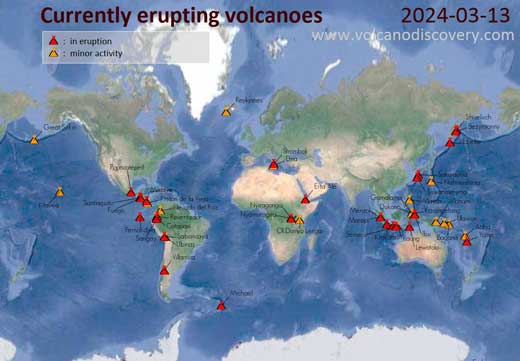
Latest nearby earthquakes
| Время | Магнитуда / Глубина | Расстояние / Местоположение | |||
Background
Mount Meager is part of the Garibaldi volcanic belt, a subsection of the Cascades Range. Its summit consists of overlapping piles of andesitic lava flows and younger dacitic lava domes and flows. Older basalts underlying the uppermost 22 km of the Elaho valley originated at the 1375 m level in the South Fork Meager River.The most recent activity from the Meager volcanic complex about 2350 years ago produced Canada's largest known Holocene explosive eruption and an associated welded block-and-ash flow and a lava flow from a vent on the NE flank of Plinth Peak. Two clusters of hot springs occur within the complex, which has been investigated for potential geothermal power.
---
Source: GVP
Извержения вулкана Meager
410 BC +-200 Plinian eruption
The Pebble Creek Formation of Mt Meager volcano was the largest volcanic eruption in Canada after the end of the last ice age, and ranks as subplinian-plinian (VEI 5).
The eruption began with a Plinian phase producing an eruption column of at least 20 km height. Its deposit, pumice and ash fall, is known as the Bridge River Ash, and can be found as far as as Alberta, 530 km from the volcano. Pyroclastic flows deposited ignimbrites (welded ash flow tuffs).
The Plinian phase was followed by a less explosive phase producing block and ash flow deposits that accumulated mainly in the Lillooet River valley. The vent of the eruption is located at 1500 m elevation on northeastern shoulder of Plinth Peak, 1000 m above the floor of Lillooet Valley.
This eruption was similar in character to the 1980 eruption of Mount St. Helens ...больше информации
Latest satellite images