Contact | RSS | EN | DE | EL | ES | FR | IT | RU

Santo Antao Volcano

Updated: Apr 25, 2024 16:50 GMT -
Stratovolcano 1979 m / 6493 ft
Cape Verde, 17.07°N / -25.17°W
Current status: (probably) extinct (0 out of 5)

[smaller] [larger]
Typical eruption style: unspecified
Santo Antao volcano eruptions: None during the past 10,000 years
Less than few million years ago (Pleistocene)

Latest nearby earthquakes

No recent earthquakes
TimeMag. / DepthDistance / Location

Background

The 20 x 40 km dominantly volcanic island of Santo Antao is the NW-most of the Cape Verde Islands. Volcanic activity dates back to the Pliocene and continued into the late Pleistocene. A large 7-km-wide E-facing depression, Cha de Morte, was thought at one point to be a caldera, but was later interpreted as an erosional feature. Much of the island is covered by phonolitic pumice deposits of the Cao Grande Pumice, erupted about 200,000 years ago. The youngest eruptive products are lava flows that originated from vents at Cha de Lagoa in the central part of the island, just south of the NE-SW axial ridge. The lava flows cover an area of 40 km2 and reached the SE coast just SW of the coastal village of Porto Novo. These flows were initially considered by Mitchell-Thome (1976) to be Holocene in age based on morphological evidence, but later 40Ar/39Ar dating by Plesner et al. (2003) for these lava flows produced an age of 90,000 +/- 30,000 years.
---
Source: Smithsonian / GVP volcano information

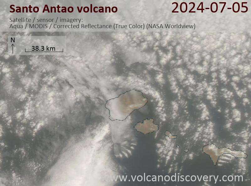
Latest satellite images

santoantao satellite image sat1santoantao satellite image sat2
News

No news in this list.

On this page:

Try our free app!
Volcanoes & Earthquakes - new app for Android
Android | iOS version

More on VolcanoDiscovery

Why is there advertising on this site?

Support us - Help us upgrade our services!

We truly love working to bring you the latest volcano and earthquake data from around the world. Maintaining our website and our free apps does require, however, considerable time and resources.
We need financing to increase hard- and software capacity as well as support our editor team. We're aiming to achieve uninterrupted service wherever an earthquake or volcano eruption unfolds, and your donations can make it happen! Every donation will be highly appreciated. If you find the information useful and would like to support our team in integrating further features, write great content, and in upgrading our soft- and hardware, please make a donation (PayPal or Online credit card payment).

Planned features:Thanks to your past donations, these features have been added recently:
Download and Upgrade the Volcanoes & Earthquakes app to get one of the fastest seismic and volcano alerts online:
Android | IOS
Thank you!
Sources: VolcanoDiscovery / VolcanoAdventures and other sources as noted.
Use of material: Most text and images on our websites are owned by us. Re-use is generally not permitted without authorization. Contact us for licensing rights.
Volcanoes & Earthquakes
VolcanoDiscovery Home
Volcanoes | Earthquakes | Photos | Volcano News | App
Adventure & Study Travel
Tours to Volcanoes and Volcanic Areas: walking tours, photo tours, study tours
Tours & Dates | FAQ | About us
Get our newsletter!
Company info
Contact | Legal info | Terms & conditions
Follow us
Follow us on facebook Follow us on Instagram Follow us on Twitter Visit our Youtube channel
EN | DE | EL | ES | FR | IT | RU
VolcanoDiscovery GmbH, Germany, Reg. nr.: HRB 103744, EU Tax Id: DE 297 465 123 owned and created by
Dr. Tom Pfeiffer, volcanologist, volcano photographer, tour organizer member of
IAVCEI
IAVCEI
Vulkanologische Gesellschaft
Volcanological Society
Ecotourism Greece
Ecotourism Greece
RUV insurance
Insured by R+V
VolcanoDiscovery © 2004- All Rights Reserved | Privacy - Cookie Settings