Contact | RSS | EN | DE | EL | ES | FR | IT | RU

Sukadana Basalts Volcano

Updated: Apr 19, 2024 07:14 GMT -
Fissure vent 300 m / 984 ft
Indonesia, -5.25°S / 105.65°E
Current status: (probably) extinct (0 out of 5)

[smaller] [larger]
Typical eruption style: unspecified
Sukadana Basalts volcano eruptions: None during the past 10,000 years
Less than few million years ago (Pleistocene)

Latest nearby earthquakes

No recent earthquakes
TimeMag. / DepthDistance / Location

Background

The low Sukadana Plateau, 30 x 11 km wide, is a volcanic expression of the Sukadana Basalts of Pleistocene age (Barber et al., 2005). The plateau itself covers an area of approximately 1000 km2 and contains fissure-fed lava flows 2-3 m thick issued from NW-SE trending fissures (Barber et al., 2005; van Bemmelen 1949b). The basaltic region may be over 200 m thick in areas, localized around eruptive centers, but no deposits greater than 10 m have been observed. Some columnar jointing is present. K-Ar dating gave ages ranging from 0.44 Ma to 1.15 Ma for the oldest samples (Soeria-Atmadja et al., 1985 in Barber et al., 2005), but more recent ages measured from more well-preserved flows and spatter cones are around 0.01 to 0.8 million years. Sukadana is technically part of the back-arc region of the Sumatra Volcanic Arc Segment, evidenced by notable textural and compositional differences from the arc volcanics, as well as a similarity to the back-arc Bukit Telor basalts (Barber et al., 2005).
---
Source: Smithsonian / GVP volcano information

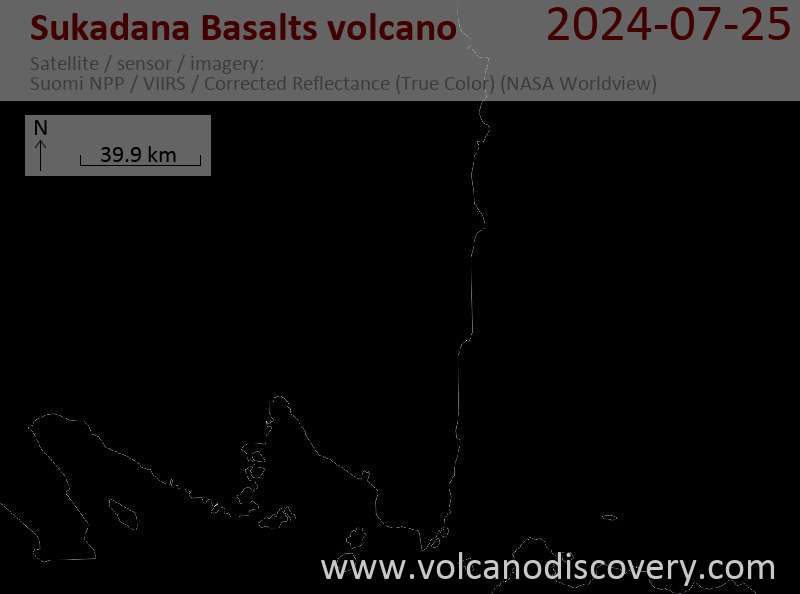
Latest satellite images

sukadana satellite image sat1sukadana satellite image sat2
News

No news in this list.

On this page:

Try our free app!
Volcanoes & Earthquakes - new app for Android
Android | iOS version

More on VolcanoDiscovery

Why is there advertising on this site?

Support us - Help us upgrade our services!

We truly love working to bring you the latest volcano and earthquake data from around the world. Maintaining our website and our free apps does require, however, considerable time and resources.
We need financing to increase hard- and software capacity as well as support our editor team. We're aiming to achieve uninterrupted service wherever an earthquake or volcano eruption unfolds, and your donations can make it happen! Every donation will be highly appreciated. If you find the information useful and would like to support our team in integrating further features, write great content, and in upgrading our soft- and hardware, please make a donation (PayPal or Online credit card payment).

Planned features:Thanks to your past donations, these features have been added recently:
Download and Upgrade the Volcanoes & Earthquakes app to get one of the fastest seismic and volcano alerts online:
Android | IOS
Thank you!
Sources: VolcanoDiscovery / VolcanoAdventures and other sources as noted.
Use of material: Most text and images on our websites are owned by us. Re-use is generally not permitted without authorization. Contact us for licensing rights.
Volcanoes & Earthquakes
VolcanoDiscovery Home
Volcanoes | Earthquakes | Photos | Volcano News | App
Adventure & Study Travel
Tours to Volcanoes and Volcanic Areas: walking tours, photo tours, study tours
Tours & Dates | FAQ | About us
Get our newsletter!
Company info
Contact | Legal info | Terms & conditions
Follow us
Follow us on facebook Follow us on Instagram Follow us on Twitter Visit our Youtube channel
EN | DE | EL | ES | FR | IT | RU
VolcanoDiscovery GmbH, Germany, Reg. nr.: HRB 103744, EU Tax Id: DE 297 465 123 owned and created by
Dr. Tom Pfeiffer, volcanologist, volcano photographer, tour organizer member of
IAVCEI
IAVCEI
Vulkanologische Gesellschaft
Volcanological Society
Ecotourism Greece
Ecotourism Greece
RUV insurance
Insured by R+V
VolcanoDiscovery © 2004- All Rights Reserved | Privacy - Cookie Settings