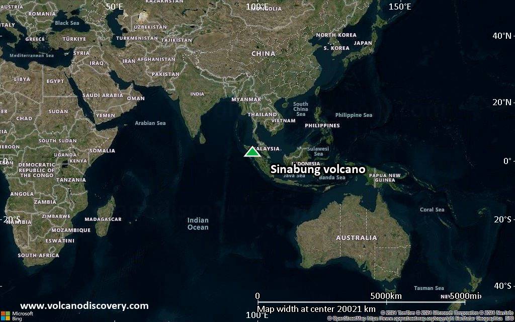
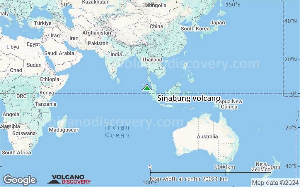
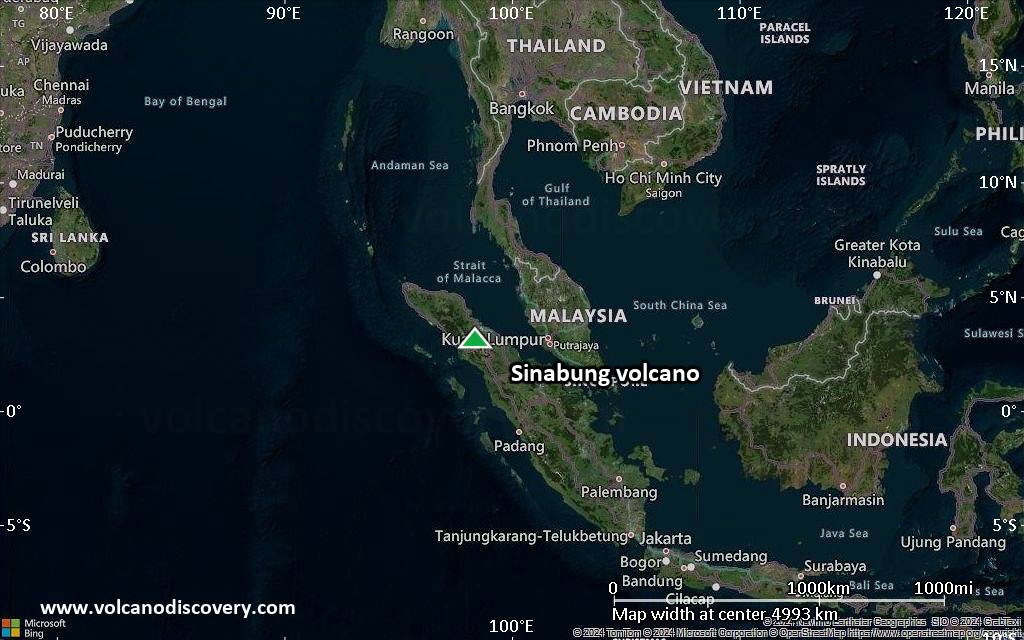
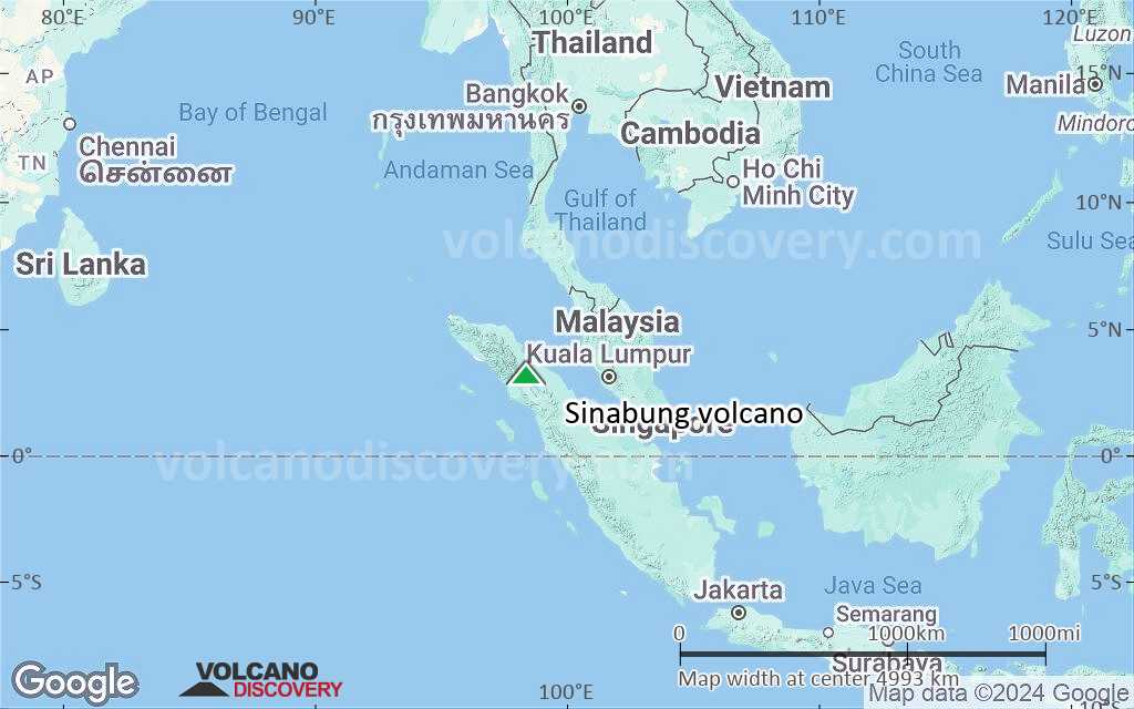
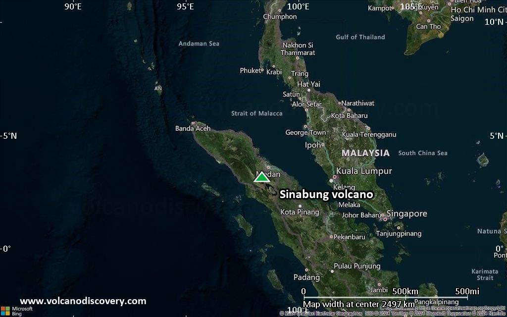
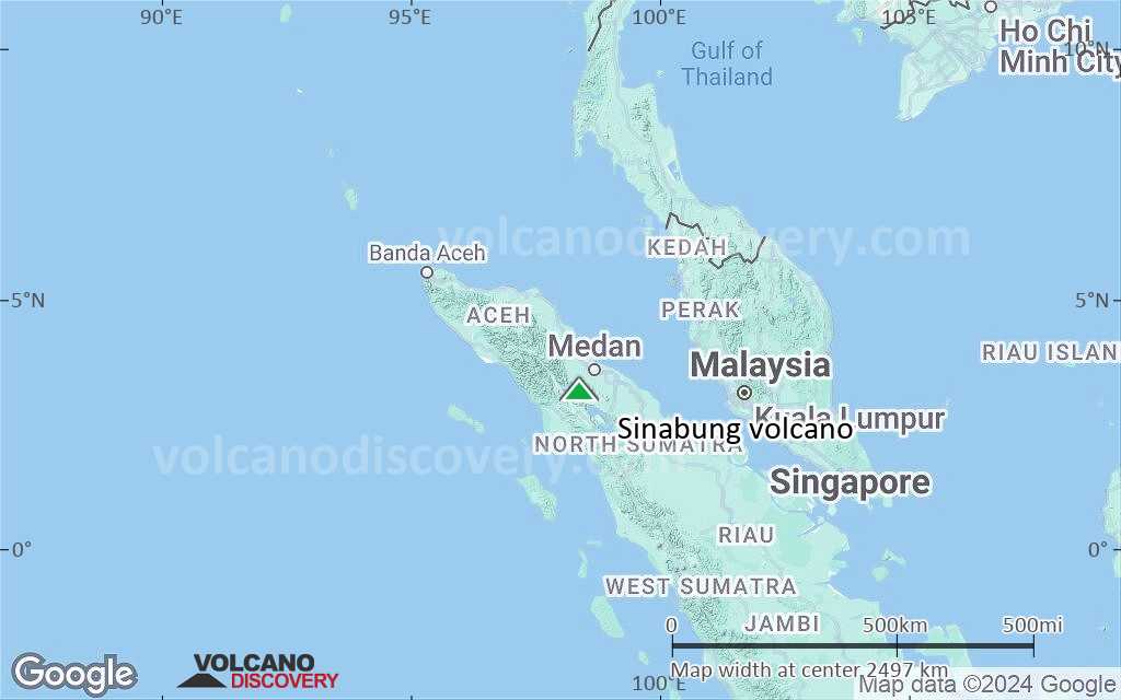
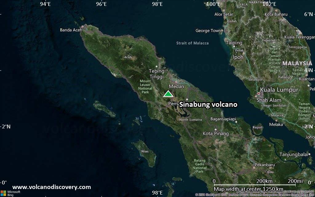
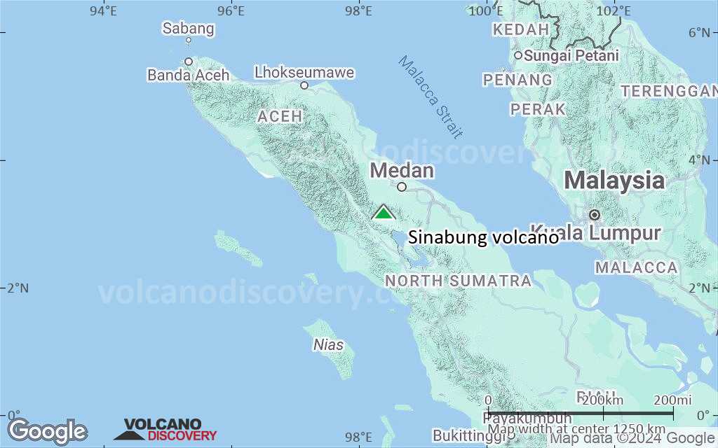
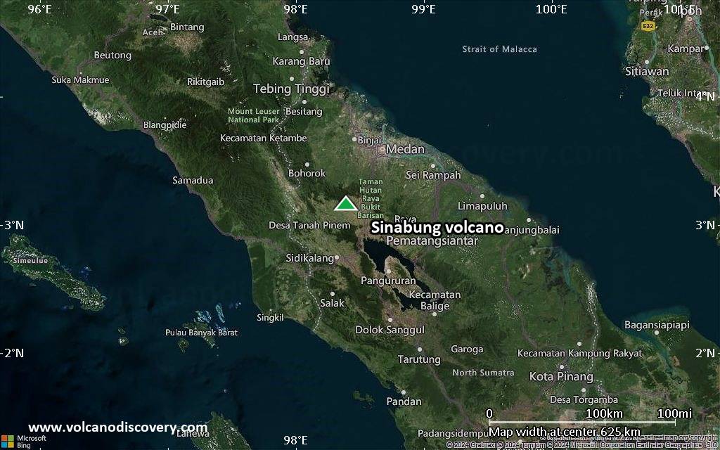
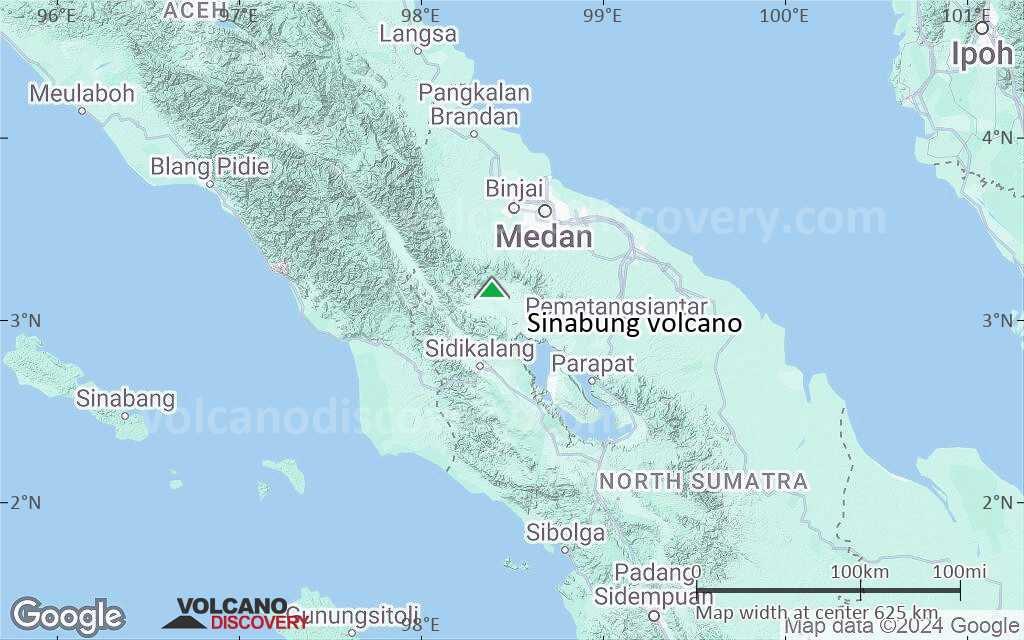
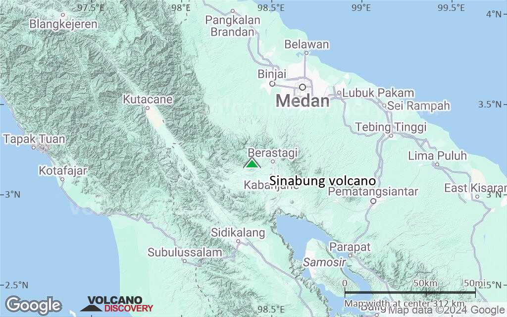
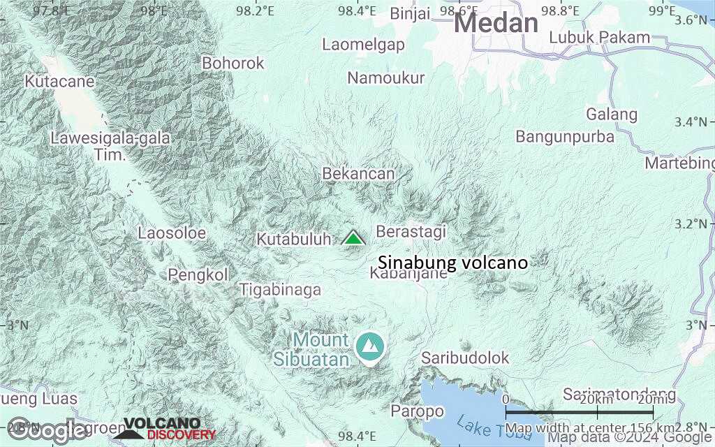
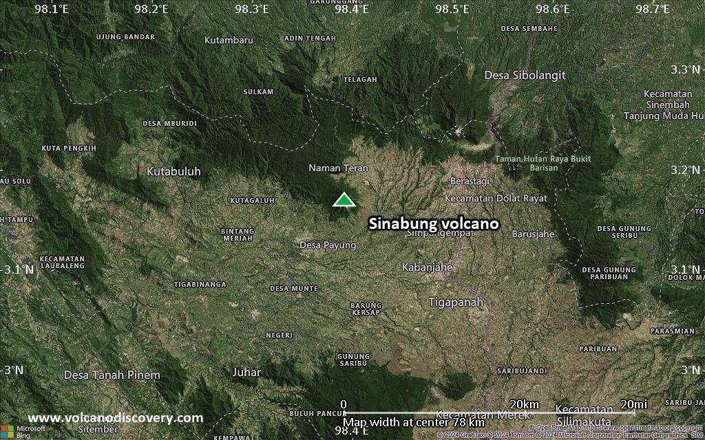
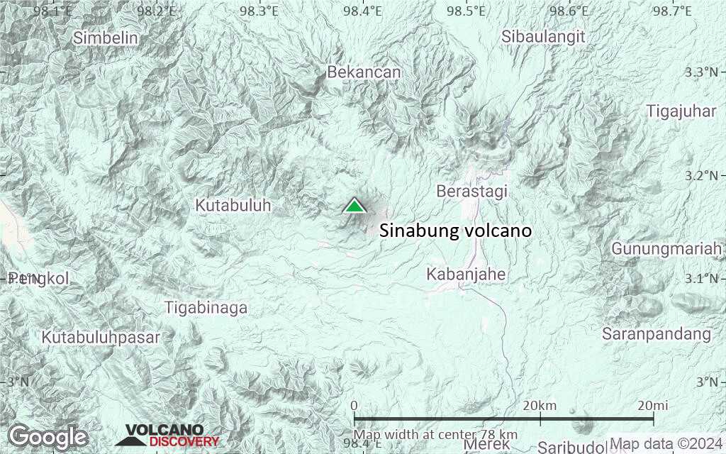
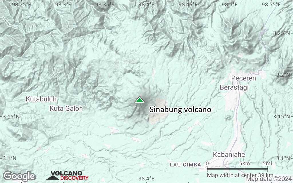
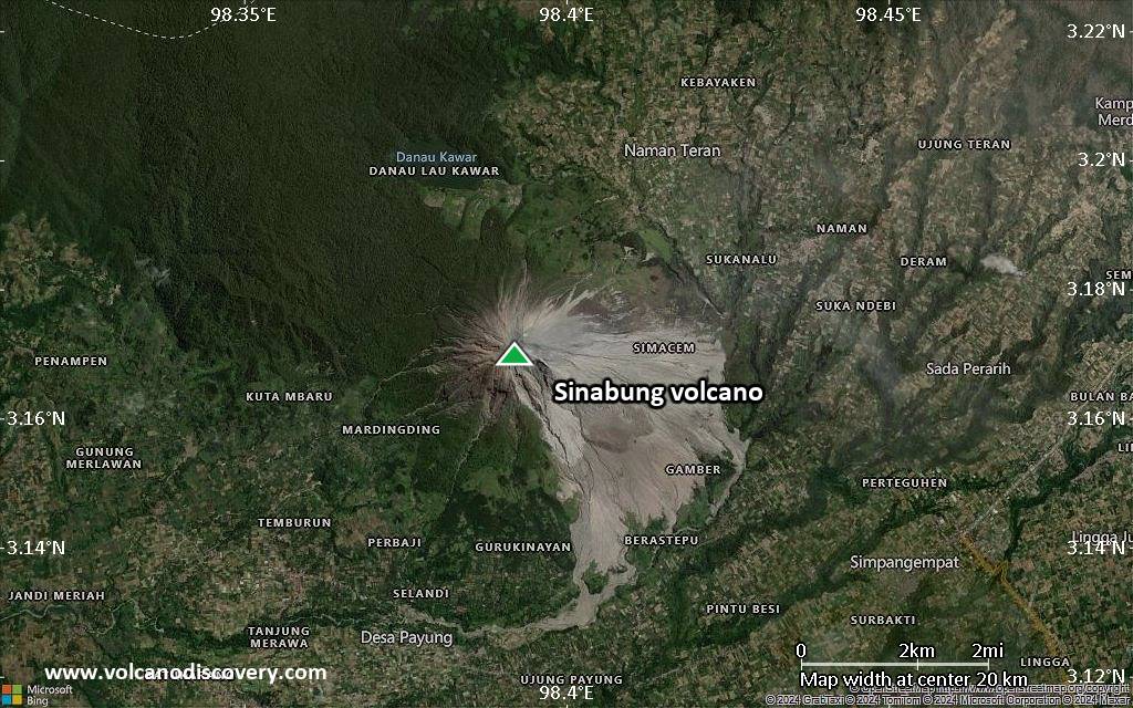
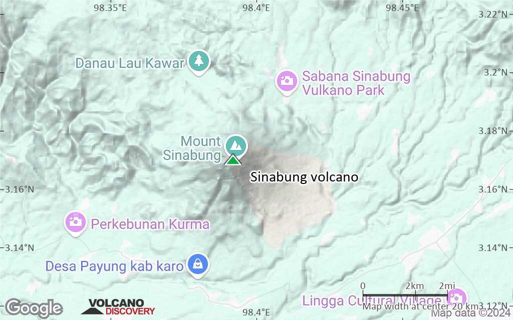
| RSS | EN | DE | EL | ES | FR | IT | RU

Sinabung Volcán

Updated: 20 nov. 2025 06:15 GMT -
Stratovolcano
Sumatra, Indonesia, 3.17°N / 98.39°E
Summit height: 2460 m (8,071 ft)
Current status: normal or dormant (1 out of 5)
Last update: 1 oct 2025 (Smithsonian Daily Volcanic Activity Report)
Sinabung volcano in July 2015

Sinabung is a typical stratovolcano in northern Sumatra next to the town of Berastagi.

[smaller] [larger]
Typical eruption style: Explosive
Erupciones del volcán Sinabung: 2013-ongoing, 2010

Latest nearby earthquakes

Fecha y horaMag / Prof.Distancia / Ubicación
15 nov 15:23 (Tiempo Universal)
2.0

22 km
17 km al sur 13 km al suroeste de Kabanjahe, Kabupaten Karo, Sumatra Septentrional, Indonesia Más

Background

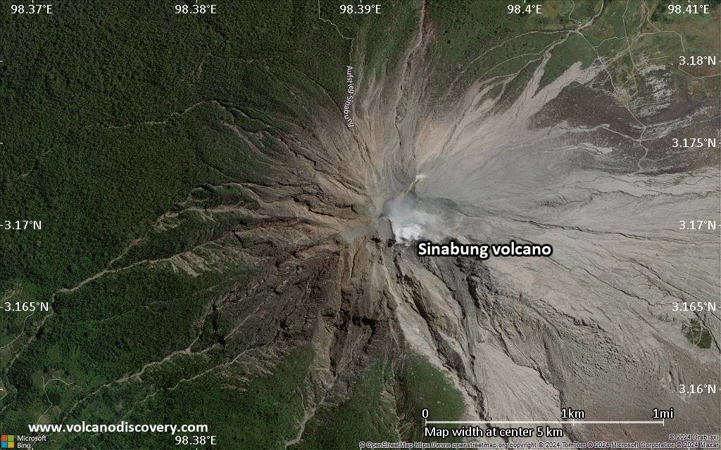
There are no confirmed historic eruptions before the re-awakening in August 2010, but possibly it has had activity in around 1600 and 1881.
It is evident that Sinabung volcano has frequently erupted on its flanks producing lava flows. Sinabung has four overlapping summit craters, where fumaroles have been active, particularly in 1912, but no eruption followed the increase of fumarolic activity then. The 4 summit craters are aligned along a N-S direction. The youngest crater of this andesitic-to-dacitic volcano is at the southern end of the four overlapping summit craters.

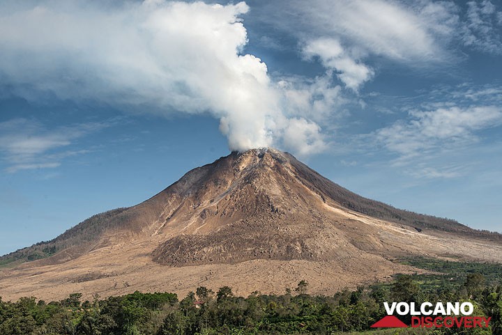
Sinabung Volcano Photos

Erupciones volcánicas significativas: Sinabung volcano

In the past 10,000 years, Sinabung has had at least 5 confirmed volcanic eruptions, out of which 4 are documented by historical records, while the others can be inferred from geological evidence.
There is one uncertain or discredited eruption in 1881 from Sinabung volcano.
The table below lists all known eruptions (date in bold face) of Sinabung volcano in historic times and during the past 10,000 years. Updates on the most recent volcanic activity of Sinabung can be found on the news page of Sinabung volcano.
FechaNotaVEIFallecidosDaños
2020 ago 8 - 2021 sep 23
Obs. históricas/documentos
3
desconocido
2019 ? - jun 9
Obs. históricas/documentos
4
desconocido
2019 may 7
(erupción 2019 ? - jun 9)
4
moderado
Información
2013 sep 15 - 2018 jun 22Summit crater and SE flank
Obs. históricas/documentos
4
desconocido
2017 dic 27
(erupción 2013 sep 15 - 2018 jun 22)
0
moderado
Información
2017 abr 13
(erupción 2013 sep 15 - 2018 jun 22)
2
ligero
Información
2016 may 21
(erupción 2013 sep 15 - 2018 jun 22)
07
muy pesado
Información
2016 may 9
(erupción 2013 sep 15 - 2018 jun 22)
01
ligero
Información
2015 oct 16
(erupción 2013 sep 15 - 2018 jun 22)
01
ligero
Información
2015 feb 20
(erupción 2013 sep 15 - 2018 jun 22)
0
ligero
Información
2014 feb 1
(erupción 2013 sep 15 - 2018 jun 22)
017
ligero
Información
2013 sep 15
(erupción 2013 sep 15 - 2018 jun 22)
2
moderado
Información
2010 ago 27 - sep 17 ?Summit crater
Obs. históricas/documentos
3
desconocido
2010 ago 30
(erupción 2010 ago 27 - sep 17 ?)
02
desconocido
Información
?? 1881
Erupción incierta
?
desconocido
810 ±70 y. ADSE flank?
desconocido
Remark:
Our list of volcanic eruptions closely follows the database of eruptions of the Smithsonian's Global Volcanism Project (GVP), the internationally most recognized data source for volcanic eruptions, but also includes significant eruptive episodes or related volcano events. "Volcanic eruptions" are usually to be understood as sequences of individual eruptive episodes that can follow each other, or even overlap (if several vents are involved), and can last many years, decades or even longer. For example, the current activity of Stromboli volcano is understood as a single eruption that has been ongoing since 1934.
Fuentes: NOAA National Centers for Environmental Information (NCEI), Global Significant Volcanic Eruptions Database. doi:10.7289/V5TD9V7K | Global Volcanism Project / Smithsonian Institution

Sinabung Volcano FAQ

+When was the last eruption of Sinabung volcano?

+How often does Sinabung volcano erupt?

+How active is Sinabung volcano at present?

+When was the largest eruption of Sinabung volcano?

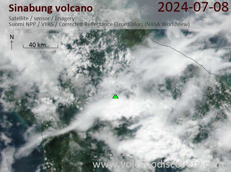
Últimas imágenes satelitales

Sinabung imagen satelital sat1Sinabung imagen satelital sat2

Sinabung Volcán Mapas

Below is a selection of maps showing the location and surroundings of the volcano at various resolutions based on aerial-imagery / terrain maps. Feel free to use them for non-commercial purposes on your blog or website as long as you credit them with a link back to this page (click to copy it).
Satellite/aerial-type map of Sinabung volcano (world scale)
Terrain-type map of Sinabung volcano (world scale)
Satellite/aerial-type map of Sinabung volcano (region scale large)
Terrain-type map of Sinabung volcano (region scale large)
Satellite/aerial-type map of Sinabung volcano (region scale medium)
Terrain-type map of Sinabung volcano (region scale medium)
Satellite/aerial-type map of Sinabung volcano (region scale small)
Terrain-type map of Sinabung volcano (region scale small)
Satellite/aerial-type map of Sinabung volcano (local scale large)
Terrain-type map of Sinabung volcano (local scale large)
Satellite/aerial-type map of Sinabung volcano (local scale medium)
Terrain-type map of Sinabung volcano (local scale medium)
Satellite/aerial-type map of Sinabung volcano (local scale small)
Terrain-type map of Sinabung volcano (local scale small)
Satellite/aerial-type map of Sinabung volcano (scale of 10s of km)
Terrain-type map of Sinabung volcano (scale of 10s of km)
Satellite/aerial-type map of Sinabung volcano (scale of 20-40 km)
Terrain-type map of Sinabung volcano (scale of 20-40 km)
Satellite/aerial-type map of Sinabung volcano (scale of approx. 10-20 km)
Terrain-type map of Sinabung volcano (scale of approx. 10-20 km)
Satellite/aerial-type map of Sinabung volcano (scale of 5-10 km)
Satellite/aerial-type map of Sinabung volcano (scale of few kilometers)
Update Wed 22 Jul 16:59
Map of Sinabung volcano with the location of the 3, 4/5 and 7 km exclusion zones
Volcanoes & Earthquakes - new app for Android
Guaranteed tours
2-10 may 2026: From Stromboli to Etna - Sicily and Eolian Islands (Italy)
= spaces available   = guaranteed   = few spaces left   = booked out

Sinabung Volcano (Indonesia) activity update Sep 30, 2025 - Unrest

Wednesday, Oct 1, 2025 | 1 month ago · VN
The Center for Volcanology and Geological Hazard/Pusat Vulkanologi dan Mitigasi Bencana Geologi (CVGHM/PVMBG) reported that unrest continued at Sinabung on 30 September 2025 (local). The alert level r…

Sinabung Volcano (Indonesia) activity update Sep 29, 2025 - Unrest

Tuesday, Sep 30, 2025 | 1 month ago · VN
The Center for Volcanology and Geological Hazard/Pusat Vulkanologi dan Mitigasi Bencana Geologi (CVGHM/PVMBG) reported that unrest continued at Sinabung on 29 September 2025 (local). The alert level r…

En esta página:

Try our free app!
Volcanoes & Earthquakes - new app for Android
Android | iOS version

More on VolcanoDiscovery

Why is there advertising on this site?

¡Apóyanos – Ayúdanos a mejorar nuestros servicios!

Nos encanta trabajar para traerte los datos más recientes sobre volcanes y terremotos de todo el mundo, solo para ti. Sin embargo, mantener nuestro sitio web y nuestras aplicaciones gratuitas requiere mucho tiempo, esfuerzo y recursos.
Tu apoyo nos permite ampliar la capacidad de nuestro hardware y software, así como fortalecer a nuestro equipo editorial. Nuestra misión es ofrecer actualizaciones continuas en tiempo real siempre que ocurra un terremoto o una erupción volcánica — ¡y tus donaciones lo hacen posible! Cada contribución, grande o pequeña, es profundamente apreciada. Si encuentras útil la información que ofrecemos y deseas ayudarnos a integrar nuevas funciones, crear contenido atractivo y mejorar nuestra tecnología, por favor considera hacer una donación:

Usa PayPal:

Funciones planeadas:

Gracias a tus donaciones anteriores, recientemente hemos añadido:
Descarga la app Volcanes & Terremotos para ser de los primeros en recibir alertas rápidas en línea sobre terremotos y volcanes:
Android | iOS
¡Gracias por formar parte de nuestra misión!
Sources: VolcanoDiscovery / VolcanoAdventures and other sources as noted.
Use of material: Most text and images on our websites are owned by us. Re-use is generally not permitted without authorization. Contact us for licensing rights.
Volcanoes & Earthquakes
VolcanoDiscovery Home
Volcanes | Sismos | Fotos | News | | Shop | App
Adventure & Study Travel
Tours to Volcanoes and Volcanic Areas: walking tours, photo tours, study tours
Tours & Dates | FAQ | About us
Get our newsletter!
Company info
Contact | Legal info | Terms & conditions
Follow us
Follow us on facebook Follow us on Instagram Follow us on Bluesky Follow us on Twitter Visit our Youtube channel
EN | DE | EL | ES | FR | IT | RU
VolcanoDiscovery GmbH, Germany, Reg. nr.: HRB 103744, EU Tax Id: DE 297 465 123 owned and created by
Dr. Tom Pfeiffer, volcanologist, volcano photographer, tour organizer member of
IAVCEI
IAVCEI
Vulkanologische Gesellschaft
Volcanological Society
Ecotourism Greece
Ecotourism Greece
RUV insurance
Insured by R+V
VolcanoDiscovery © 2004- All Rights Reserved | Privacy - Cookie Settings