


Zavodovski Volcán
Updated: 6 mayo 2025 00:07 GMT -
stratovolcano
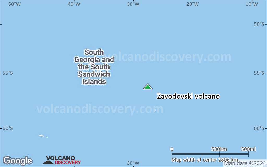
South Sandwich Islands (UK), -56.3°S / -27.57°W 

+Hora local:
Salida del sol:
Puesta del sol:
Salida de la luna:
Puesta de la luna:
Summit height: 551 m / 1,808 ft
Current status: normal or dormant (1 out of 5)
Last update: 20 dic 2021 (Smithsonian / USGS Weekly Volcanic Activity Report)
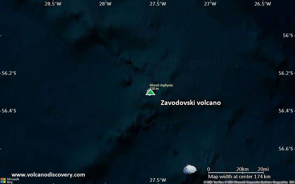
Mt Curry volcano (also referred to as Mt Asphyxia) is the active volcano on the uninhabited, 5 km wide Zavodovski island at the northernmost end of the South Sandwich Islands.
[smaller] [larger]
Erupciones del volcán Zavodovski: 2014, 2012, 1908 (?), 1830 (?), 1823 (?), 1819
Latest nearby earthquakes
| Fecha y hora | Mag / Prof. | Distancia / Ubicación | |||
|---|---|---|---|---|---|
Background
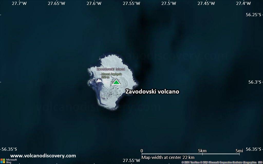
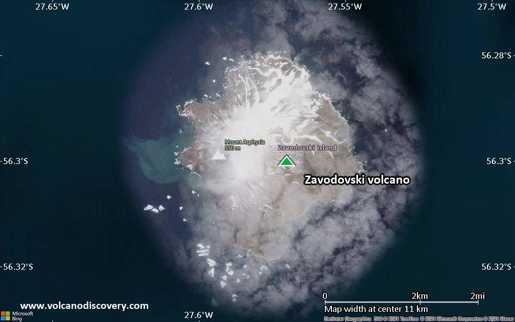
Zavodovski Island is formed by a single 551-m-high basaltic stratovolcano which has 2 flank cones on the east side. Mount Curry forms the island's summit west of the center of the island. 2 fissures extend NE from Mt Curry towards the east-flank craters, and a lava platform is located along the eastern coast.Zavodovski is the most frequently visited of the South Sandwich Islands. It was erupting when first seen in 1819 by the explorer Bellingshausen, and the volcano has been reported to be smoking during subsequent visits. (GVP volcano information)
Erupciones volcánicas significativas: Zavodovski volcano
In the past 10,000 years, Zavodovski has had at least 2 confirmed eruptions, all documented by historical records or observations.
Additionally, there are 3 uncertain or discredited eruptions from Zavodovski volcano.
Additionally, there are 3 uncertain or discredited eruptions from Zavodovski volcano.
The table below lists all known eruptions (date in bold face) of Zavodovski volcano in historic times and during the past 10,000 years. Updates on the most recent volcanic activity of Zavodovski can be found on the news page of Zavodovski volcano.
| Fecha | Nota | VEI | Fallecidos | Daños | |
|---|---|---|---|---|---|
| Summit crater Obs. históricas/documentos | 1 | desconocido | |||
?? | Erupción incierta | 1 | desconocido | ||
?? | Erupción incierta | 1 | desconocido | ||
?? | Erupción incierta | 1 | desconocido | ||
Obs. históricas/documentos | 2 | desconocido | |||
Remark:
Our list of volcanic eruptions closely follows the database of eruptions of the Smithsonian's Global Volcanism Project (GVP), the internationally most recognized data source for volcanic eruptions, but also includes significant eruptive episodes or related volcano events. "Volcanic eruptions" are usually to be understood as sequences of individual eruptive episodes that can follow each other, or even overlap (if several vents are involved), and can last many years, decades or even longer. For example, the current activity of Stromboli volcano is understood as a single eruption that has been ongoing since 1934.
Fuentes: NOAA National Centers for Environmental Information (NCEI), Global Significant Volcanic Eruptions Database. doi:10.7289/V5TD9V7K | Global Volcanism Project / Smithsonian Institution
Zavodovski Volcano FAQ
+When was the last eruption of Zavodovski volcano?
The last confirmed eruption of Zavodovski occurred in 2016.
+How often does Zavodovski volcano erupt?
Since 1819, Zavodovski volcano has had at least 2 historically documented eruptions. This means that it erupts on average every 103 years.
+How active is Zavodovski volcano at present?
Zavodovski volcano is occasionally active: Since 1900, it has had one eruption, which occurred in 2016.
+When was the largest eruption of Zavodovski volcano?
The largest eruption of Zavodovski volcano in historic times occurred in 1819. It ranks as a strombolian to vulcanian eruption with a magnitude 2 on the VEI (Volcanic Explosivity Index) scale.
Últimas imágenes satelitales

Zavodovski Volcán Mapas
Below is a selection of maps showing the location and surroundings of the volcano at various resolutions based on aerial-imagery / terrain maps. Feel free to use them for non-commercial purposes on your blog or website as long as you credit them with a link back to this page (click to copy it).
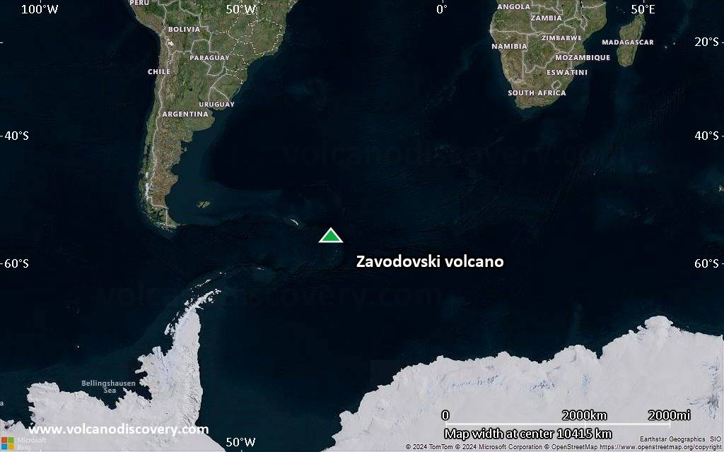
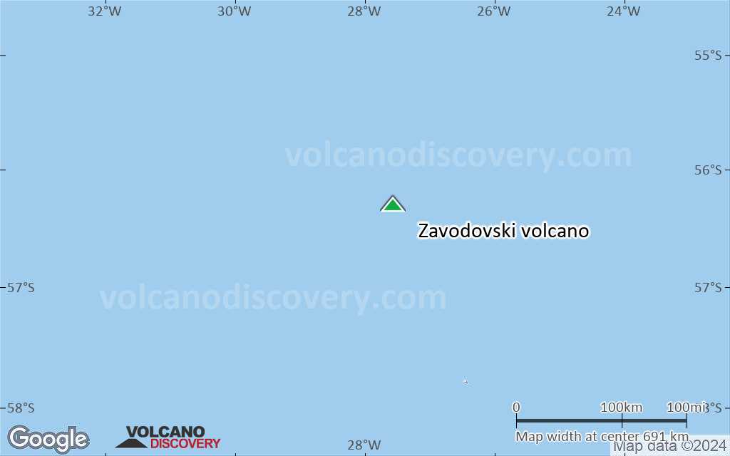
Satellite/aerial-type map of Zavodovski volcano (world scale)
Terrain-type map of Zavodovski volcano (world scale)
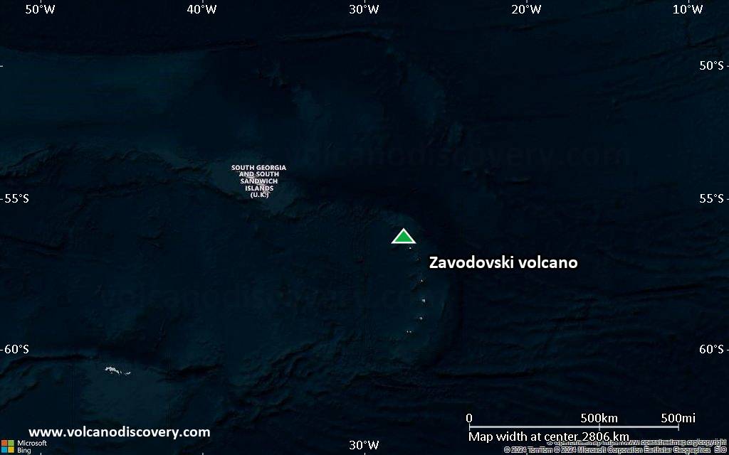
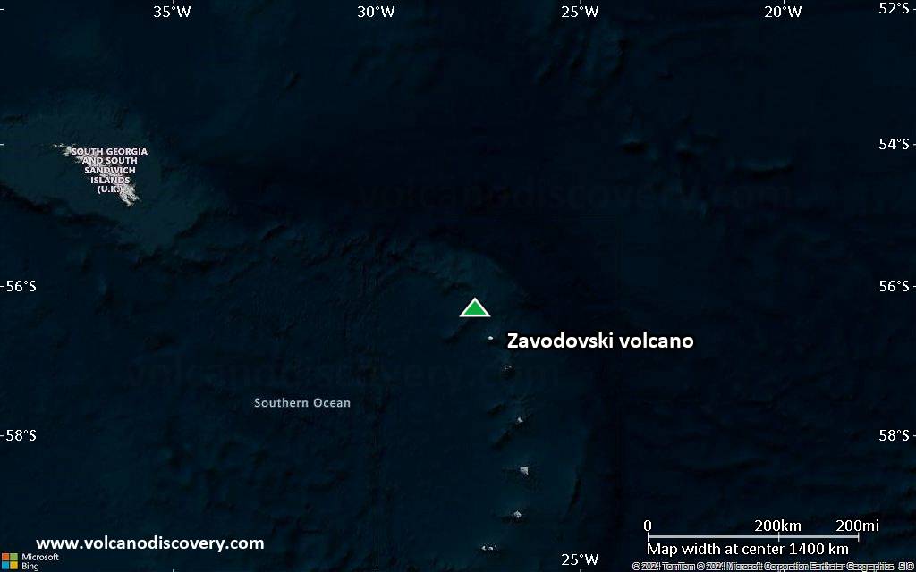
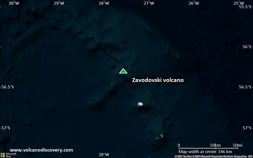
Satellite/aerial-type map of Zavodovski volcano (region scale large)
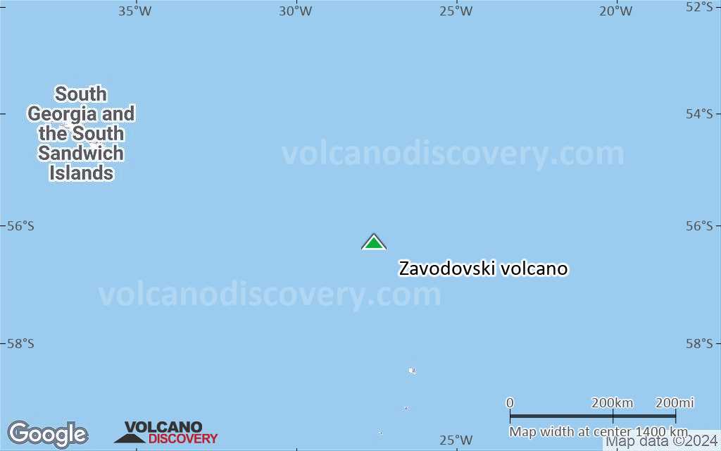
Terrain-type map of Zavodovski volcano (region scale large)
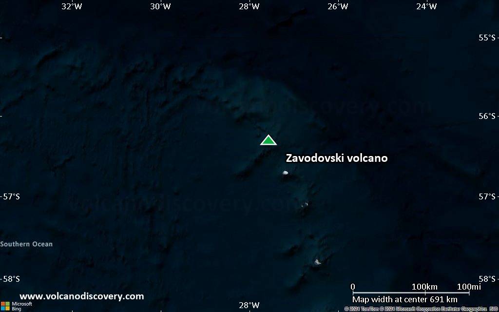
Satellite/aerial-type map of Zavodovski volcano (region scale medium)
Terrain-type map of Zavodovski volcano (region scale medium)
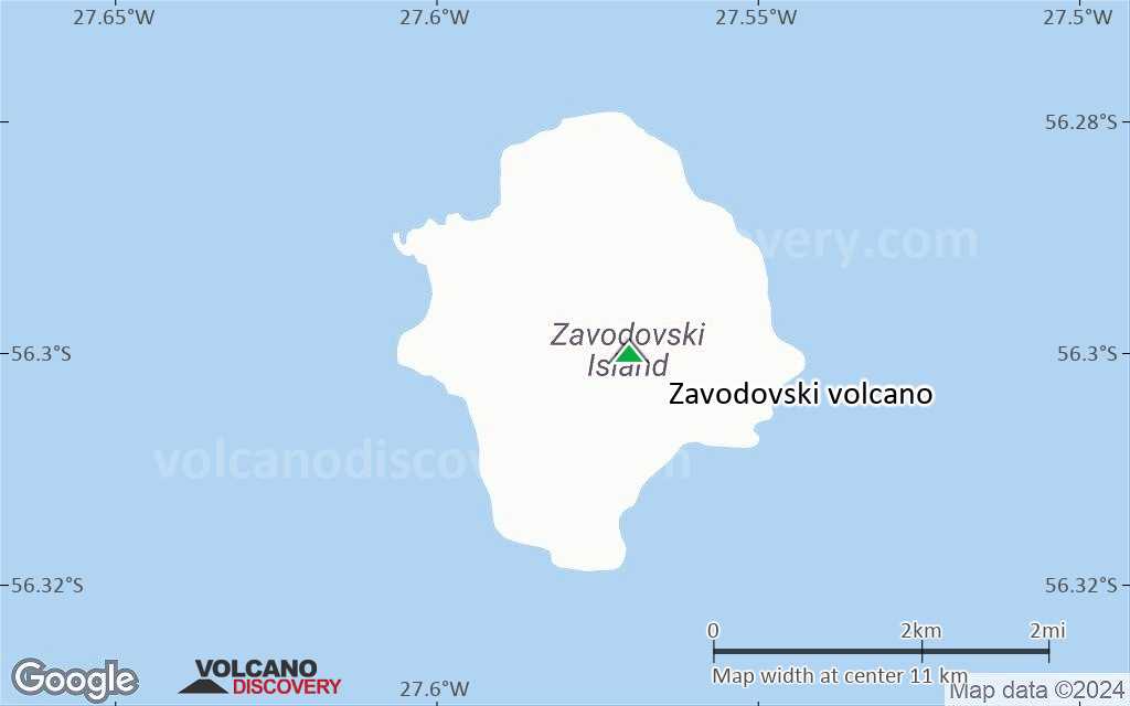
Satellite/aerial-type map of Zavodovski volcano (region scale small)
Terrain-type map of Zavodovski volcano (region scale small)
Satellite/aerial-type map of Zavodovski volcano (local scale large)

Terrain-type map of Zavodovski volcano (local scale large)
Satellite/aerial-type map of Zavodovski volcano (local scale medium)
Terrain-type map of Zavodovski volcano (local scale medium)
Satellite/aerial-type map of Zavodovski volcano (local scale small)
Terrain-type map of Zavodovski volcano (local scale small)
Satellite/aerial-type map of Zavodovski volcano (scale of 10s of km)
Terrain-type map of Zavodovski volcano (scale of 10s of km)
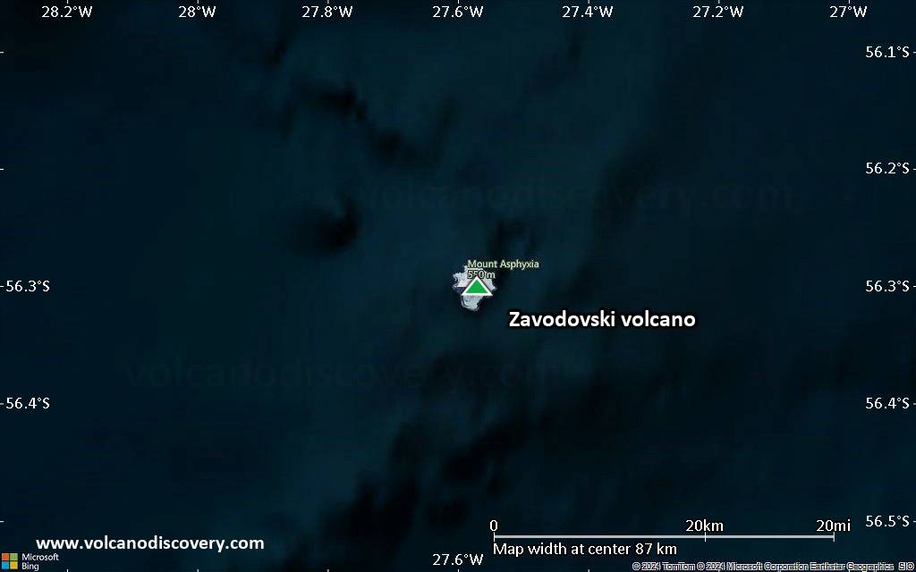
Satellite/aerial-type map of Zavodovski volcano (scale of 20-40 km)

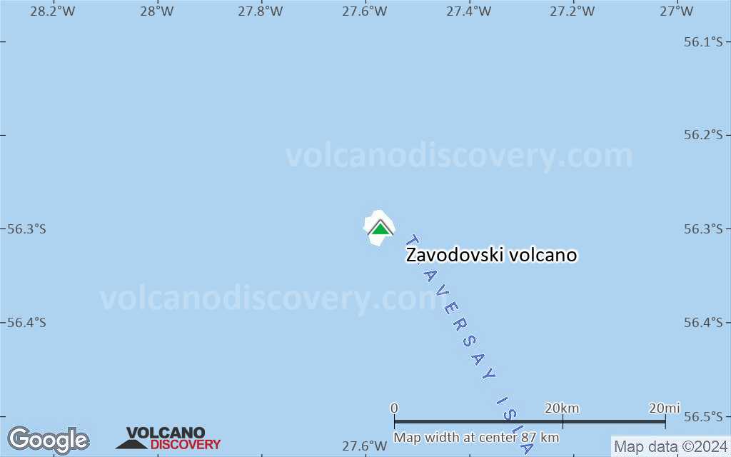
Terrain-type map of Zavodovski volcano (scale of 20-40 km)
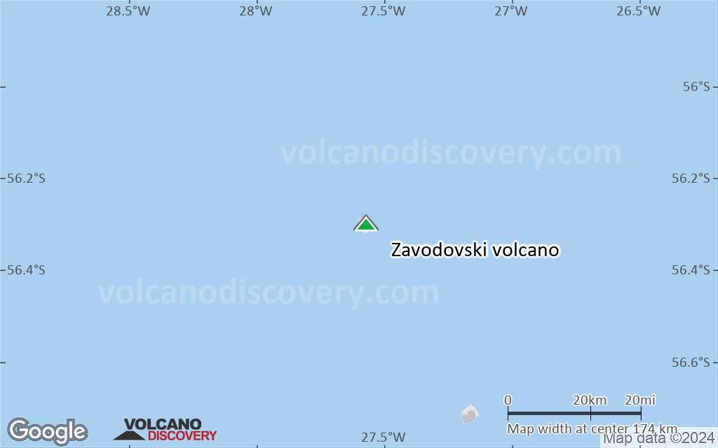
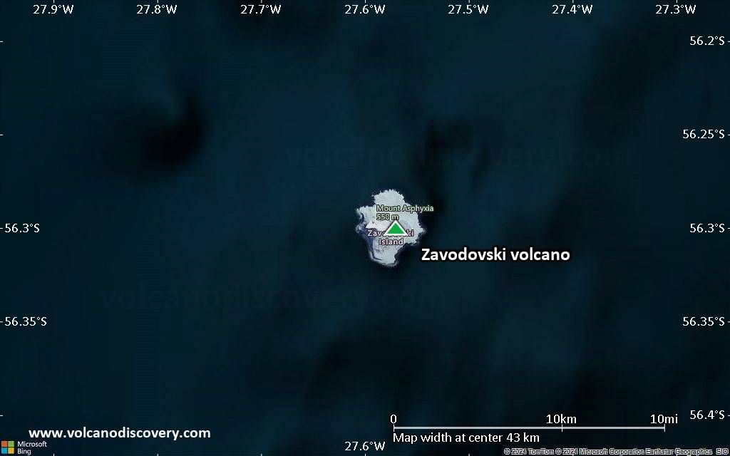
Satellite/aerial-type map of Zavodovski volcano (scale of approx. 10-20 km)
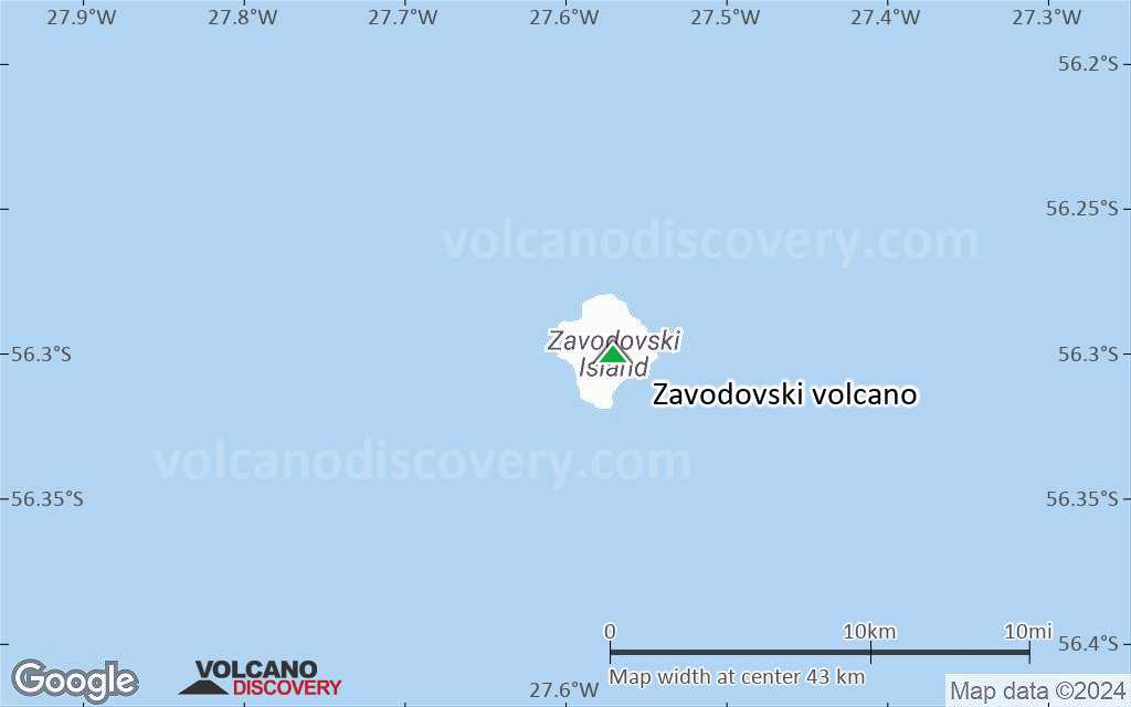
Terrain-type map of Zavodovski volcano (scale of approx. 10-20 km)
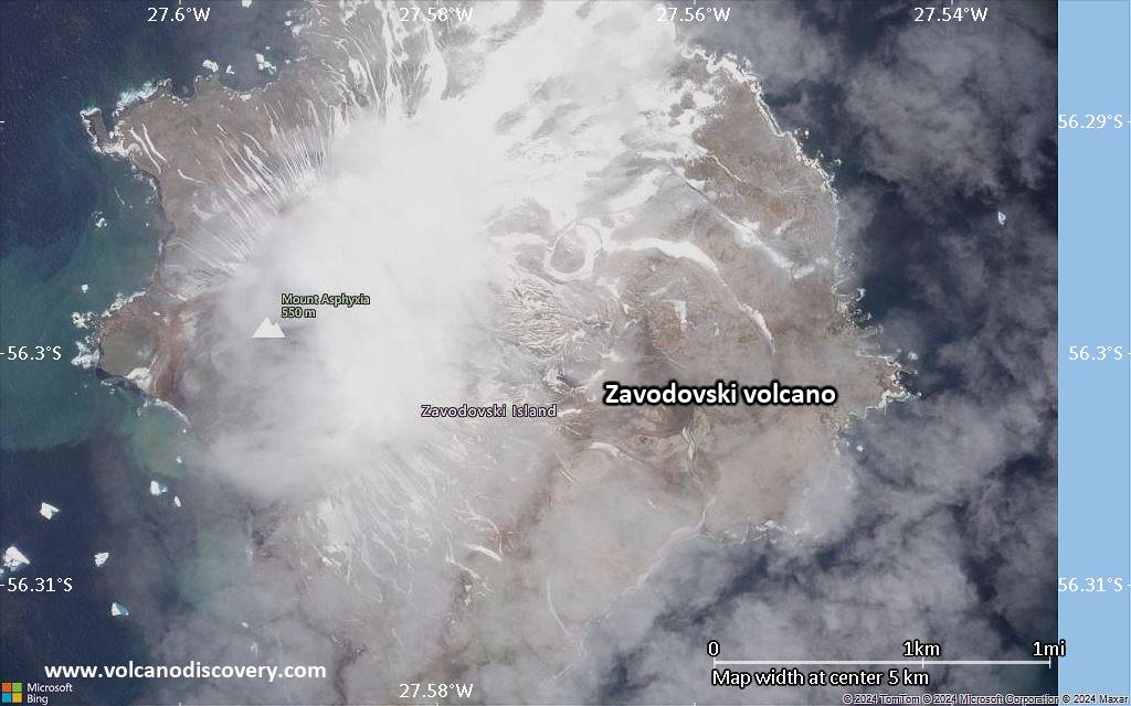
Satellite/aerial-type map of Zavodovski volcano (scale of 5-10 km)
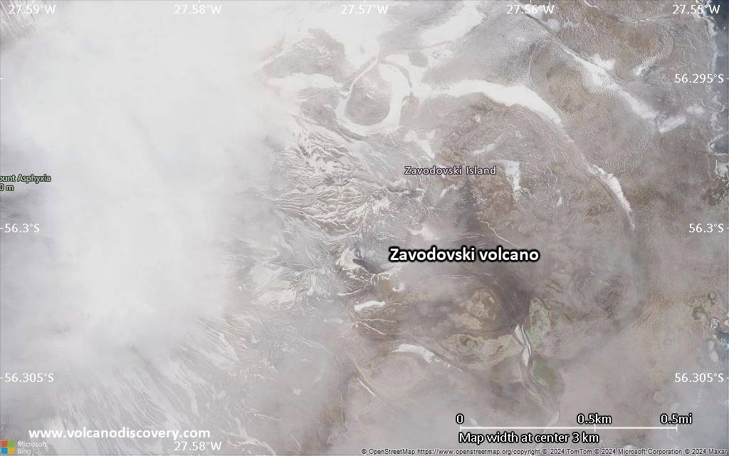
Satellite/aerial-type map of Zavodovski volcano (scale of few kilometers)


