


Nisyros Vulkan
Updated: 29. Okt. 2025 02:56 GMT -
Stratovolcano, volcanic domes
Dodecanese Islands, Greece, 36.58°N / 27.17°E 
Summit height: 680 m
Aktueller Status: normal / ruhend (1 von 5)
Last update: 26 Feb 2025
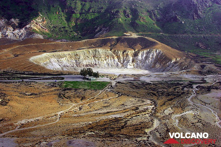
Stephanos crater of Nisyros volcano
The small round island of Nisyros is one of the more active but less known volcanoes in Greece. It is located south of the popular beach holiday island of Kos.
The last eruption of Nisyros were phreatic explosions in 1881-87. They left a moonscape with colorful craters and very active fumaroles.
[smaller] [larger]
Ausbrüche des Nisyros: 1881-1887 - hydrothermic explosions of the crater "Micros Polyvotis"
1500 - hydrothermic explosions
1000-2000 B.C. - hydrothermic explosions of the crater "Stefanos"
5000-10.000 B.C. - hydrothermic eruptions of the Kaminakia craters
15.000-10.000 B.C. - building of postcalderic volcano domes
15.000 B.C. - effusive eruption of the central caldera of Nisyros ("Upper pumice")
25.000 B.C. - effusive eruption of the central caldera of Nisyros ("Lower pumice")
40.000-30.000 B.C. - effusive eruption ("Kira-Formation")
150.000 B.C. - first submarin eruptions
Letzte Erdbeben in der Nähe
| Datum und Uhrzeit | Mag / Tiefe | Distanz / Ort | |||
|---|---|---|---|---|---|
| 28. Okt. 23:01 (Athens) | 2.3 47 km | 14 km westlich | Info | ||
| 28. Okt. 03:19 (Athens) | 3.8 10 km | 27 km nördlich | Info | ||
| Dienstag, 21. Oktober 2025 GMT (1 Beben) | |||||
| 22. Okt. 02:10 (Athens) | 1.8 113 km | 29 km westlich | Info | ||
| Samstag, 18. Oktober 2025 GMT (1 Beben) | |||||
| 18. Okt. 13:39 (Athens) | 2.4 102 km | 9.6 km westlich | Info | ||
Beschreibung
Nisyros volcano is part of the Hellenic Arc, a curved line of volcanic centers caused by the subduction zone where the African tectonic plate sinks under under the Aegean microplate, which in turn is part of the larger Eurasian tectonic plate. The arc stretches from the Saronic Gulf opposite Athens via the island groups of Milos, Santorini, and Nisyros-Yali-Kos to the Bodrum peninsula at the extreme SW of Turkey.Together with the volcanoes of the Kos caldera, Nisyros forms the most important volcanic center of the eastern section of the Hellenic arc.
Nisyros volcano itself is the most recently active part of the Kos caldera, which had formed during a massive ultra-plinian eruption approx. 150.000 years ago. Nisyros, Yali, Strongyli, Pyrgoussa, Pahia and Kefalos (at Kos) are the present-day centers of this caldera system that can be considered to be still active.
At Nisyros, an active magma chamber is located at only 3-4 km depth. Since 2000 when the Nisyros research program of the GEOWARN-Team started, the temperatures of the fumaroles have been changing from 98 C to 103 C in 2004.
Nisyros Volcano Photos

Blick von Nikia auf den Stefanos Krater (Photo: Tom Pfeiffer)

Stefanos Krater (Photo: Tom Pfeiffer)

Die inneren Kalderawände sind von tiefen Erosionsrinnen zerfurcht. (Photo: Tom Pfeiffer)

Schwarze Katze auf Nisyros (Photo: Tom Pfeiffer)
Bedeutende Vulkanausbrüche: Nisyros volcano
In the past 10,000 years, Nisyros has had at least 4 confirmed eruptions, all documented by historical records or observations.
The table below lists all known eruptions (date in bold face) of Nisyros volcano in historic times and during the past 10,000 years. Updates on the most recent volcanic activity of Nisyros can be found on the news page of Nisyros volcano.
| Datum | Hinweis | VEI | Todesopfer | Schaden | |
|---|---|---|---|---|---|
| Polyvotis Micros Hist. dokumentiert | 2 | unbekannt | |||
| Plegathon and Polyvotis Hist. dokumentiert | 2 | unbekannt | |||
| Plegathon and Polyvotis Hist. dokumentiert | 2 | unbekannt | |||
Hist. dokumentiert | 2 | unbekannt | |||
Anmerkung:
Unsere Liste von Vulkanausbrüchen orientiert sich eng an der Datenbank des Global Volcanism Project (GVP) des Smithsonian Instituts, der international anerkanntesten globalen Datenquelle für Vulkanausbrüche. Sie schließt aber auch bedeutende Eruptionsepisoden oder damit zusammenhängende Vulkanereignisse ein. Unter "Vulkanausbrüchen" versteht man in der Regel meist Serien einzelner Eruptionsepisoden, die zeitlich aufeinander folgen oder sich (bei mehreren beteiligten Ausbruchspunkten an einem Vulkan) auch überlappen können und unter Umständen viele Jahre, Jahrzehnte oder noch länger andauern können. So ist z.B. die aktuelle Tätigkeit des Stromboli als ein einziger Ausbruch verstanden, der seit 1934 anhält.
Quellen: NOAA National Centers for Environmental Information (NCEI), Global Significant Volcanic Eruptions Database. doi:10.7289/V5TD9V7K | Global Volcanism Project / Smithsonian Institution
Nisyros Volcano FAQ
+When was the last eruption of Nisyros volcano?
The last confirmed eruption of Nisyros occurred im Jahr 1888.
+How often does Nisyros volcano erupt?
Since 1422 AD, Nisyros volcano has had at least 4 historically documented eruptions. This means that it erupts on average every 151 years.
+When was the largest eruption of Nisyros volcano?
The largest eruption of Nisyros volcano in historic times occurred im Jahr 1888. It ranks as a strombolian to vulcanian eruption with a magnitude 2 on the VEI (Volcanic Explosivity Index) scale.
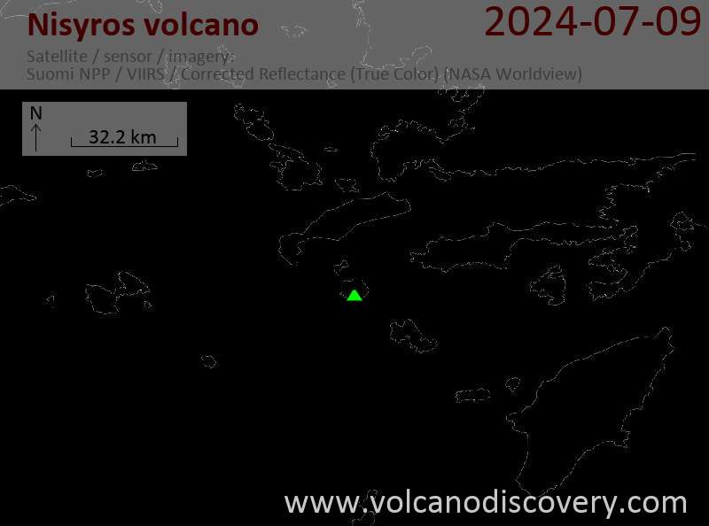
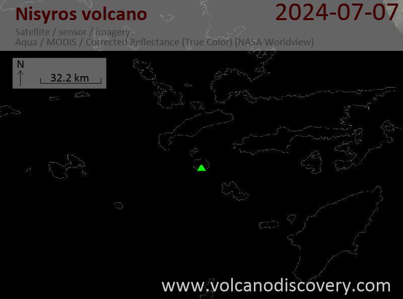
Neueste Satellitenbilder
Nisyros Vulkanreisen
Nisyros (Griechenland)
Mandeln, Oliven und Vulkane
8-tägige Wander- und Studienreise zu den Inseln Kos und Nisyros, Griechenland
8 Tage - Mittel
Preis 1690 €
Preis 1690 €
19.-26. Sep 2026
Nisyros Vulkan Karten
Below is a selection of maps showing the location and surroundings of the volcano at various resolutions based on aerial-imagery / terrain maps. Feel free to use them for non-commercial purposes on your blog or website as long as you credit them with a link back to this page (click to copy it).

Satellite/aerial-type map of Nisyros volcano (world scale)
Terrain-type map of Nisyros volcano (world scale)
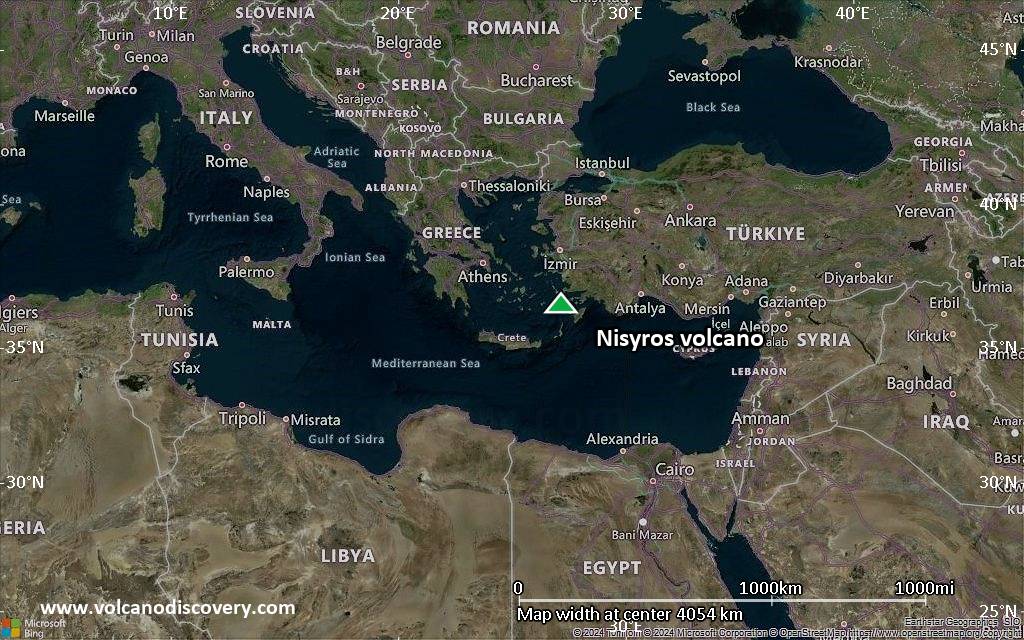
Satellite/aerial-type map of Nisyros volcano (region scale large)

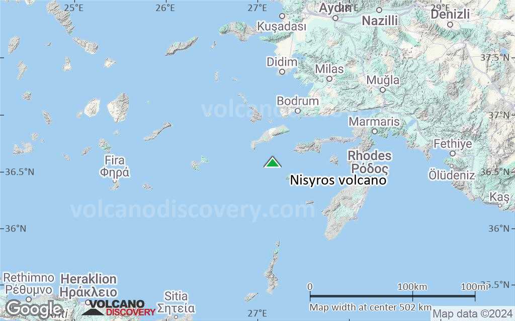
Terrain-type map of Nisyros volcano (region scale large)
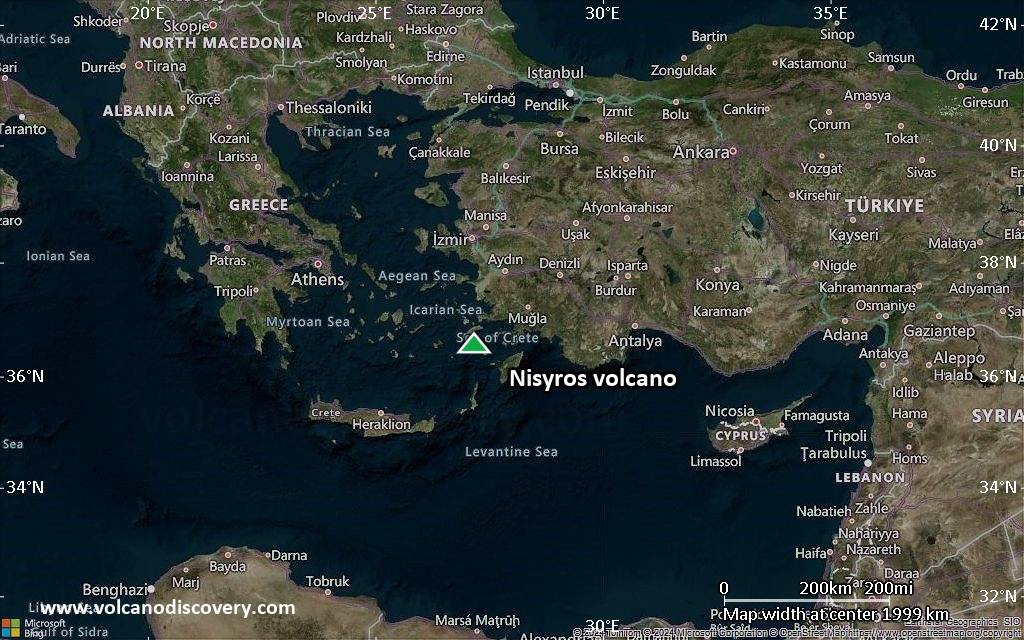
Satellite/aerial-type map of Nisyros volcano (region scale medium)
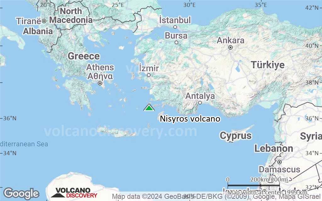
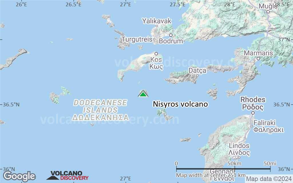
Terrain-type map of Nisyros volcano (region scale medium)

Satellite/aerial-type map of Nisyros volcano (region scale small)

Terrain-type map of Nisyros volcano (region scale small)
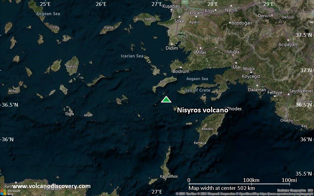
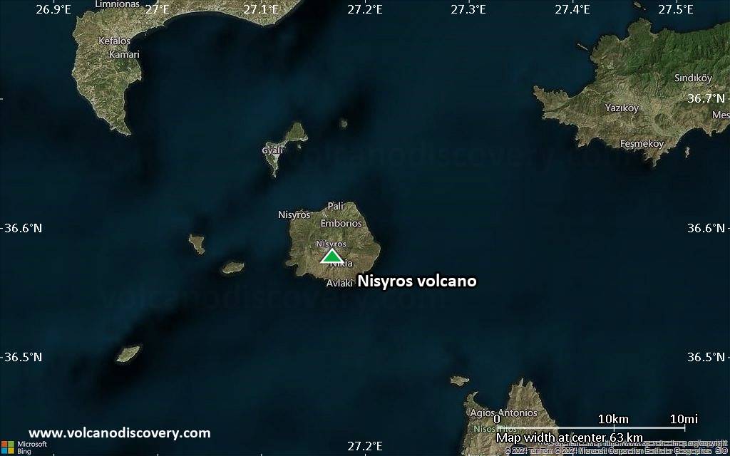
Satellite/aerial-type map of Nisyros volcano (local scale large)
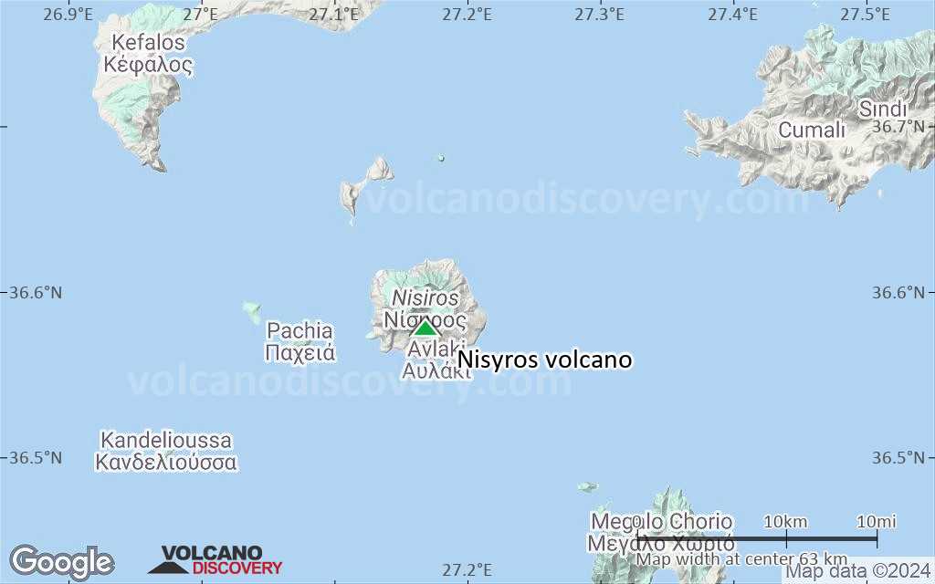
Terrain-type map of Nisyros volcano (local scale large)

Satellite/aerial-type map of Nisyros volcano (local scale medium)
Terrain-type map of Nisyros volcano (local scale medium)

Satellite/aerial-type map of Nisyros volcano (local scale small)

Terrain-type map of Nisyros volcano (local scale small)
Satellite/aerial-type map of Nisyros volcano (scale of 10s of km)
Terrain-type map of Nisyros volcano (scale of 10s of km)
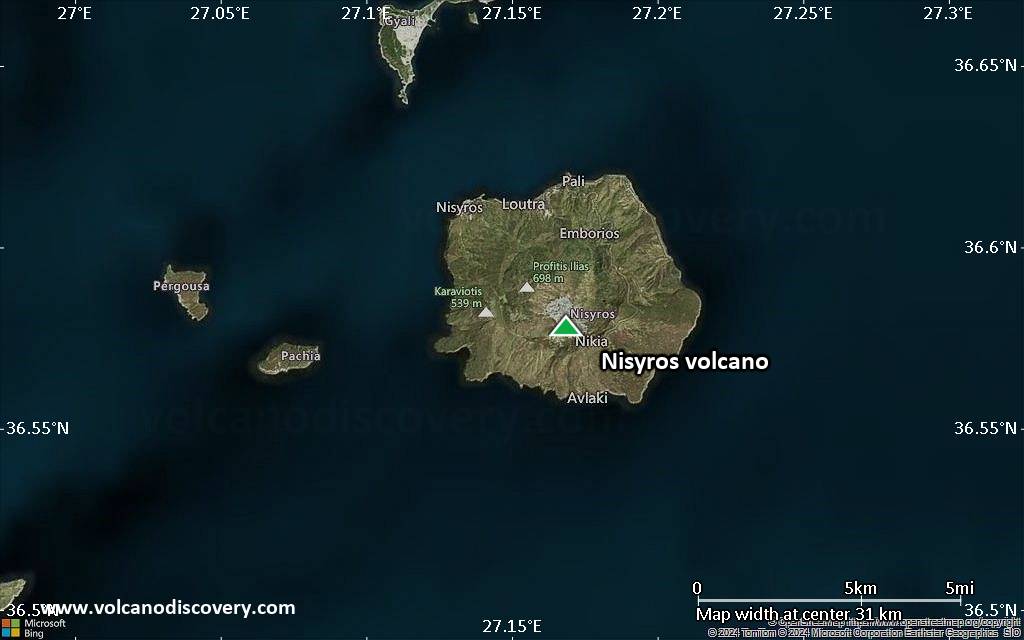
Satellite/aerial-type map of Nisyros volcano (scale of 20-40 km)

Terrain-type map of Nisyros volcano (scale of 20-40 km)

Satellite/aerial-type map of Nisyros volcano (scale of approx. 10-20 km)

Terrain-type map of Nisyros volcano (scale of approx. 10-20 km)
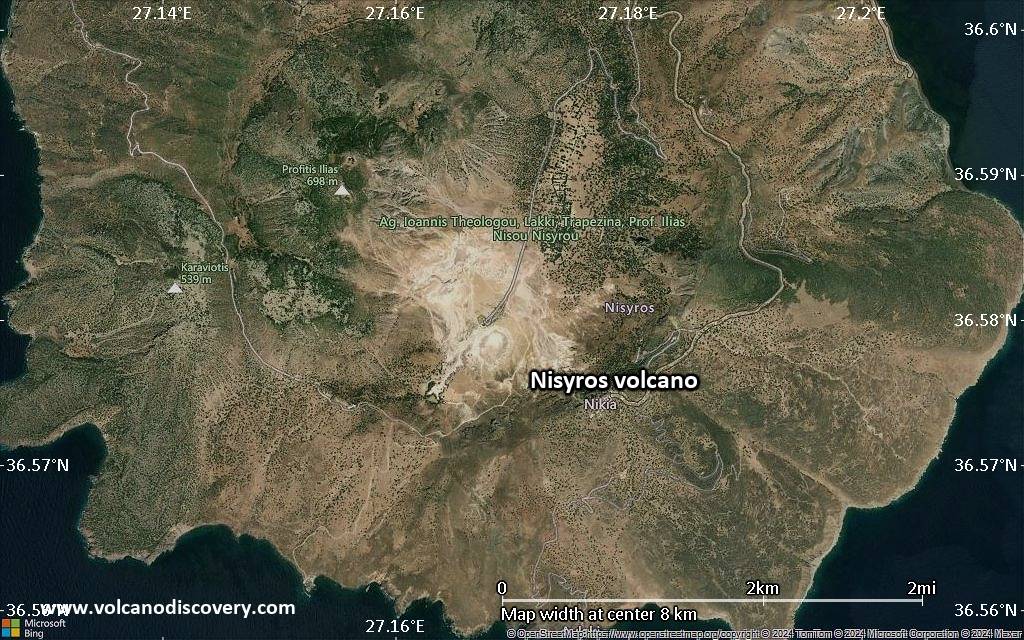
Satellite/aerial-type map of Nisyros volcano (scale of 5-10 km)

Satellite/aerial-type map of Nisyros volcano (scale of few kilometers)


