


Milos Volcan
Updated: 22 nov.. 2025 12:30 GMT -
stratovolcanoes, phreatic craters, lava domes
Grèce, 36.67°N / 24.48°E 
+Heure locale:
Lever du soleil:
Coucher du soleil:
Lever de lune:
Coucher de lune:
Summit height: 748 m
Condition actuelle: normal / en sommeil (1 sur 5)
Last update: 26 févr. 2025
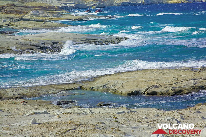
Elevated submarine volcanic ash deposits of the spectacular Sarakiniko coast of Milos
Milos is a volcanic island in the southern Aegean Sea and well known for its extensive mineral deposits and fine beaches. It is part of the Hellenic volcanic arc, that also comprises the volcanic islands of Santorini and Nisyros. Considered dormant, Milos presents strong hydrothermal activity, caused by subduction of the African under the Aegean plate.
[smaller] [larger]
Eruptions du volcan Milos: approx 2000 years ago: phreatic explosions
70.000 - 90.000 years ago (Tsingrado volcanic craters)
Derniers séismes proches
Introduction
Milos is a mainly volcanic island (like the neighbour islands of Kimolos, Polyaigis, Antimilos, Glaronisia and Akradia islands). Some older metamorphic rocks are exposed, that were formed many millions of years before the existence of the island (schists, prasinites, calc-schists, etc.). Later these layers were covered by sea-sediments. Volcanism on Milos started in upper Pliocene and continued until late Pleistocene. The last volcanic eruptions on Milos (90.000 B.C.) took place in the area of Tsingrado volcano. Volcanicm on Milos is similar to the other parts of the Hellenic Volcanic Arc comprising also Methana, Santorini and Nisyros.It is caused by the geodynamic convergence of the African and Aegean plates. The collission and subduction of the African plate produces calcalkalines (andesitic, dacitic) magmas and rocks. The eruptive phases on Milos produced mainly acidic tuffs & pumice, pyroclastic flow and lahar deposits. During extrusive phases a number of andesitic volcanic domes were built and some lavaflows emplaced. Towards the "end" of the most recent volcanic activity many phreatic explosions produced small craters (like near Agia Kyriaki or Achivadolimni) visible still today. Most of the volcanic rocks on Milos were strongly hydrothermally altered, which makes Milos become an important supplier for mining minerals like baryte, silver, perlite, caolin, bentonite and in the future perhaps even gold (Hontrovouno). Studies show the presence of a high-temperature hydrothermal system (up to 310 deg. C) below the island, responsible for the abundance of active fumaroles (e.g. in the Kalamos area). This reservoir might be related to an active magma chamber and therefore, future volcanic activity on the island can not be excluded.
Milos Volcano Photos

Formations rocheuses colorées près de la plage de Paleochori (île de Milos, Grèce) composées de schistes altérés par l'activité fumerolles. (Photo: Tom Pfeiffer)

Coquelicots rouges sur un champ près d'Adamas, Milos (Photo: Tom Pfeiffer)

Coquelicots rouges sur un champ près d'Adamas, Milos (Photo: Tom Pfeiffer)

Dépôts de fumerolles jaunes sur la plage de Paleochori, île de Milos (Grèce) (Photo: Isabelle Ammon Saugy)
Éruptions volcaniques importantes: volcano Milos
No historic eruptions are known from Milos volcano, but at least one eruption around 140 AD can be inferred from geological evidence.
The table below lists all known eruptions (date in bold face) of Milos volcano in historic times and during the past 10,000 years. Updates on the most recent volcanic activity of Milos can be found on the news page of Milos volcano.
| Date | Note | VEI | Morts | Dommages | |
|---|---|---|---|---|---|
| SE Mílos, east of Fyriplaka tuff ring | 1? | inconnu | |||
Remark:
Our list of volcanic eruptions closely follows the database of eruptions of the Smithsonian's Global Volcanism Project (GVP), the internationally most recognized data source for volcanic eruptions, but also includes significant eruptive episodes or related volcano events. "Volcanic eruptions" are usually to be understood as sequences of individual eruptive episodes that can follow each other, or even overlap (if several vents are involved), and can last many years, decades or even longer. For example, the current activity of Stromboli volcano is understood as a single eruption that has been ongoing since 1934.
Sources: NOAA National Centers for Environmental Information (NCEI), Global Significant Volcanic Eruptions Database. doi:10.7289/V5TD9V7K | Global Volcanism Project / Smithsonian Institution
Milos Volcano FAQ
+When was the last eruption of Milos volcano?
The last confirmed eruption of Milos occurred around 140 AD.
+When was the largest eruption of Milos volcano?
The largest eruption known from the younger geological history of Milos volcano occurred around 140 AD. It only has a VEI (Volcanic Explosivity Index) of , likely because it was a mainly effusive eruption generating lava flows but very little ash.
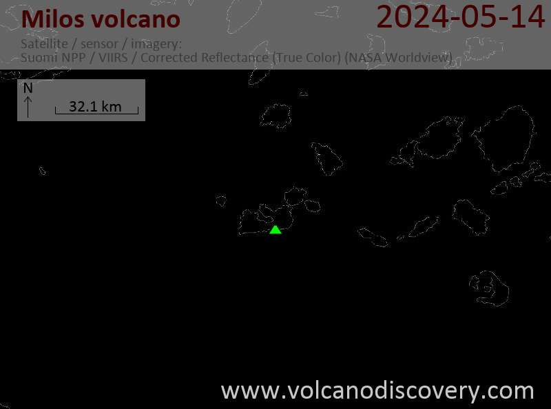
Dernières images satellite
Milos Voyages aux Volcans
Milos Island (Greece)
Geo Wonderland - Island of Milos
private geo tours to discover Milos' fascinating geology and history
3-4 days (customizeable) - Facile-Modérée
Prix on request
Prix on request
Départs sur commande possibles
Île de Milos, Grèce
Le Joyau Égéen caché: l'Île de Milos
6 jours de randonnée et d'étude sur l'île grecque de Milos
6 jours / 5 nuits - Facile-Modérée
Prix 2370 €
Prix 2370 €
5-12 mai 2026
Milos Volcan Cartes
Below is a selection of maps showing the location and surroundings of the volcano at various resolutions based on aerial-imagery / terrain maps. Feel free to use them for non-commercial purposes on your blog or website as long as you credit them with a link back to this page (click to copy it).
Satellite/aerial-type map of Milos volcano (world scale)
Terrain-type map of Milos volcano (world scale)
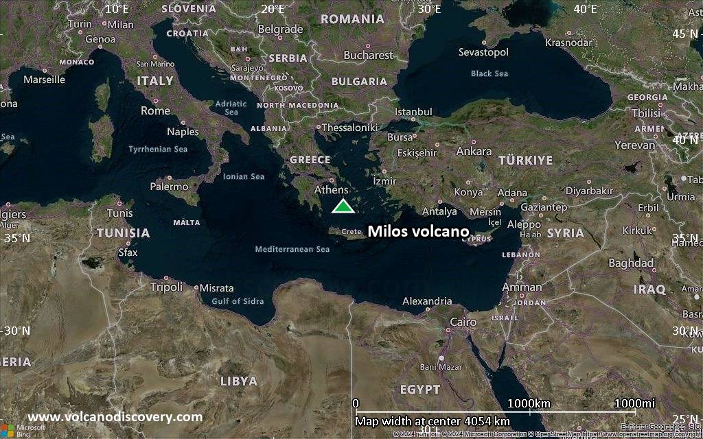
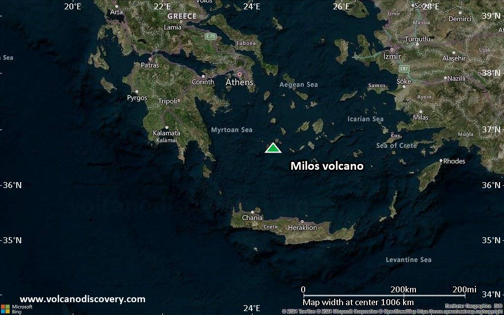
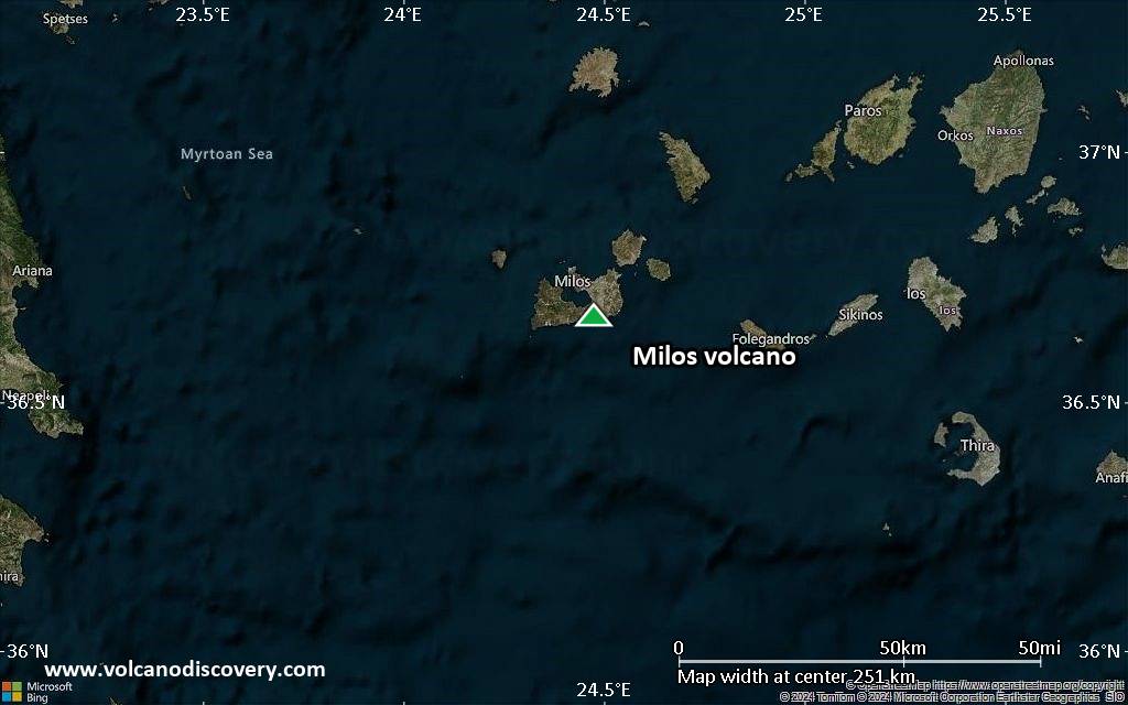
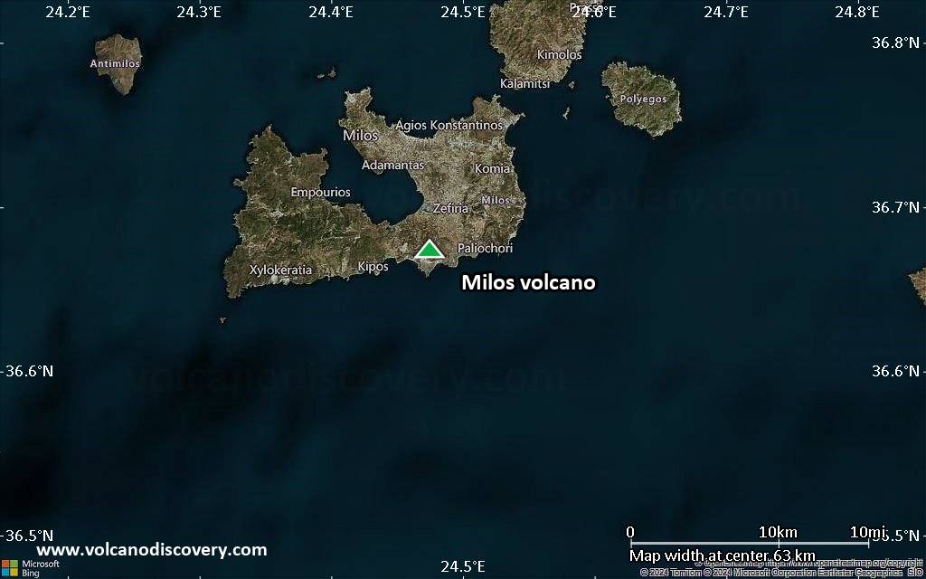
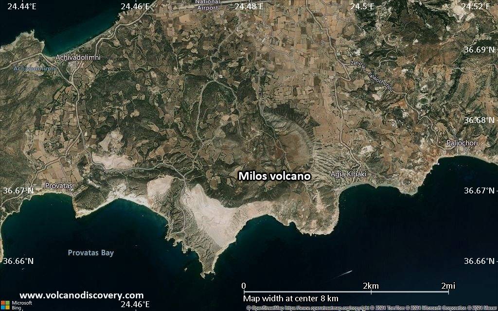
Satellite/aerial-type map of Milos volcano (region scale large)
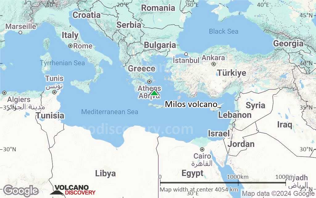
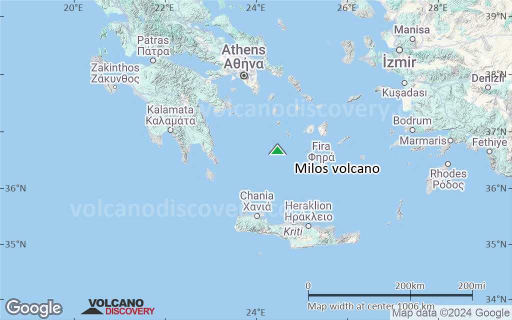
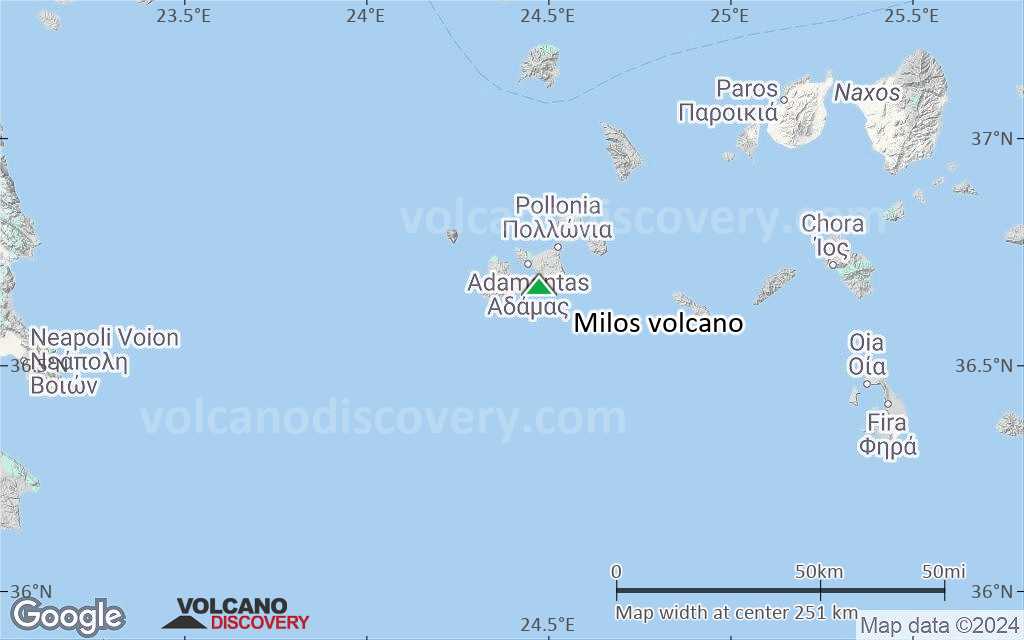
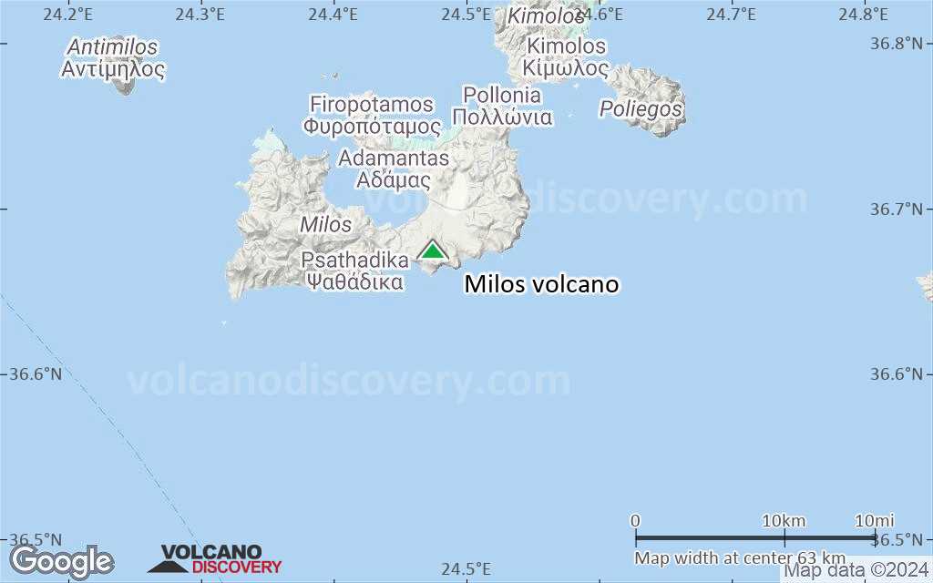
Terrain-type map of Milos volcano (region scale large)
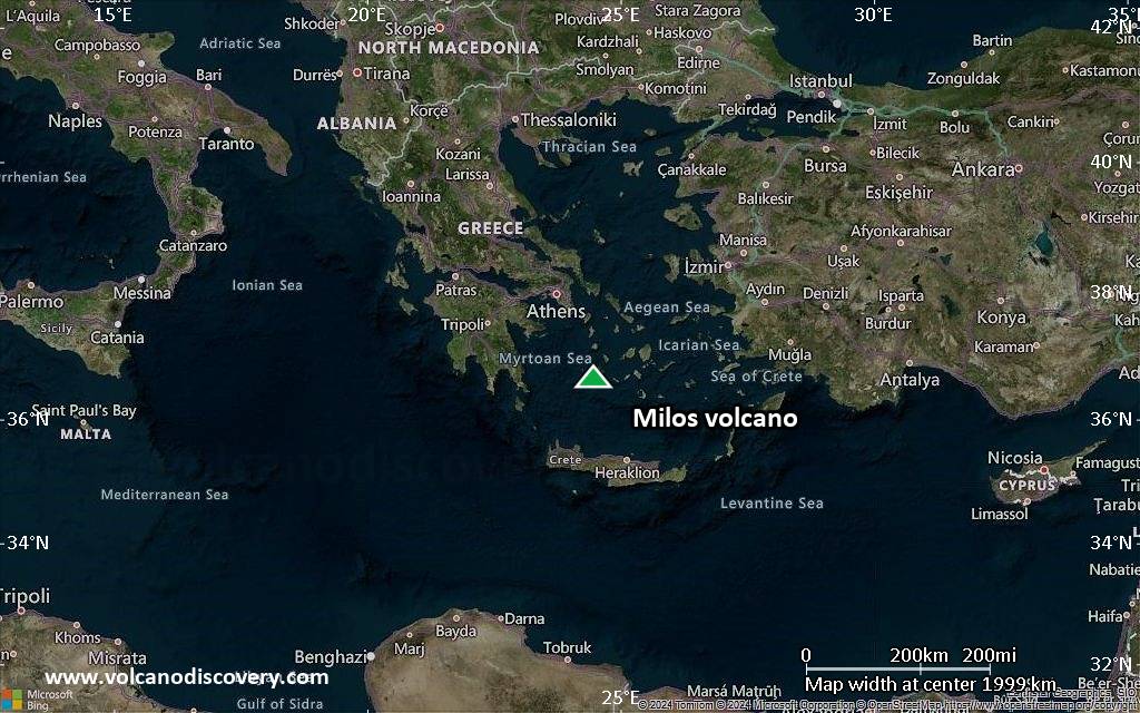
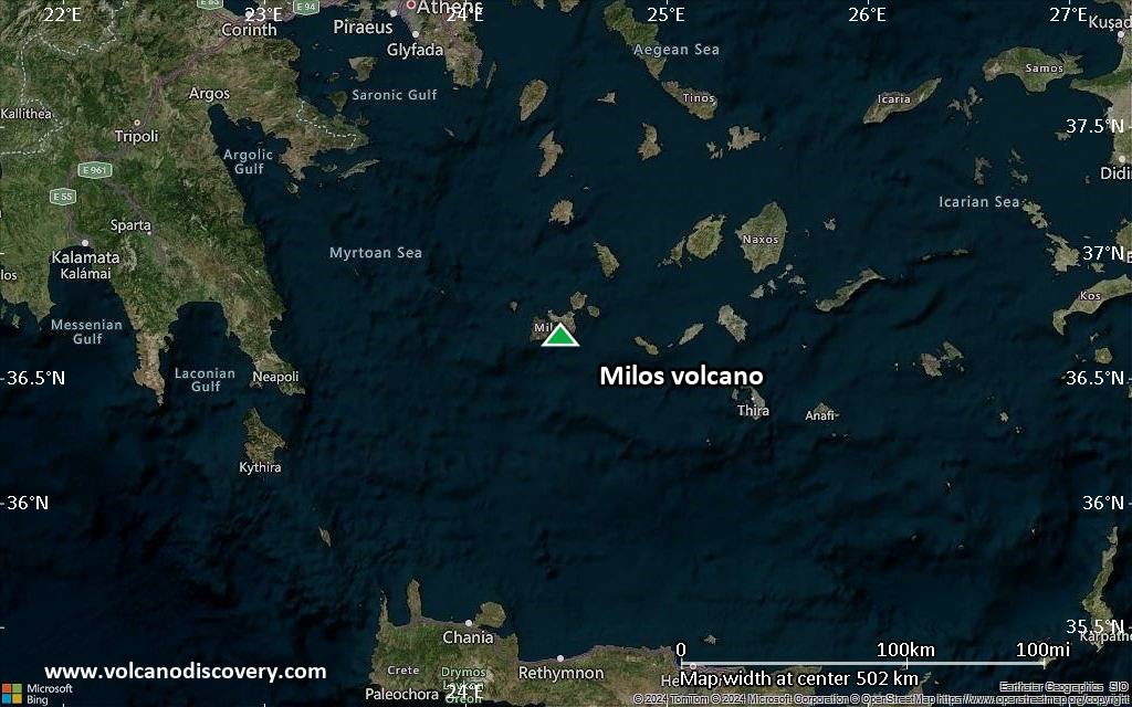
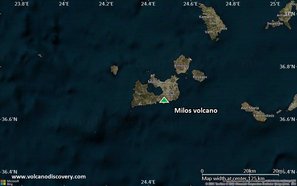
Satellite/aerial-type map of Milos volcano (region scale medium)
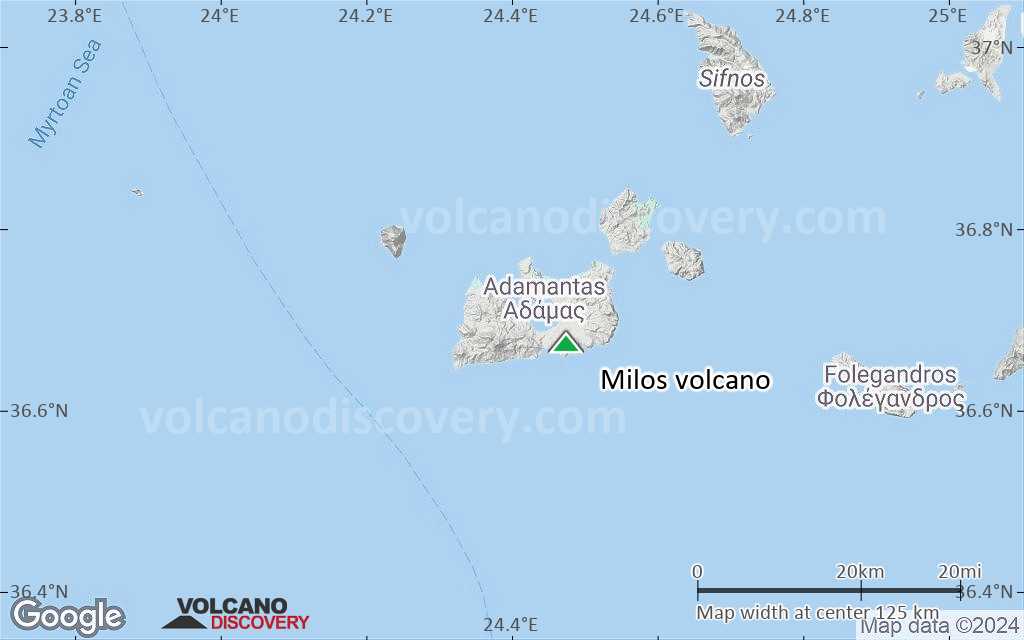
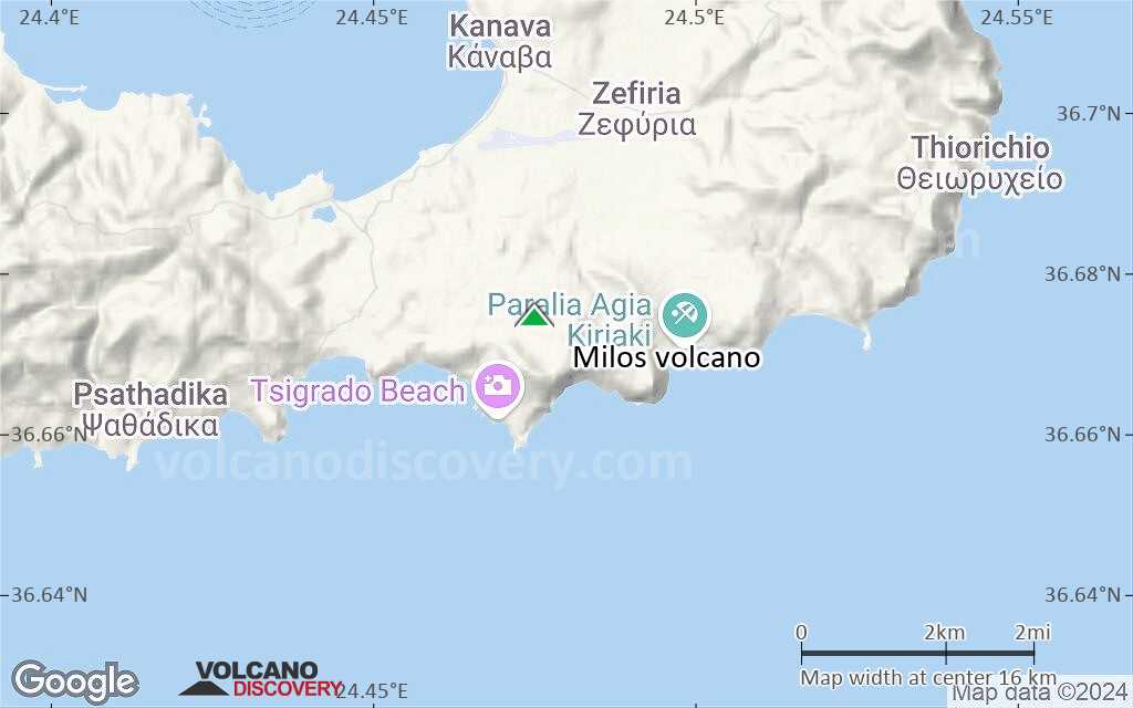
Terrain-type map of Milos volcano (region scale medium)
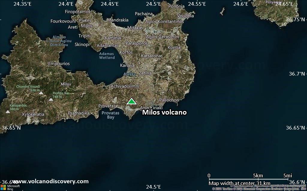
Satellite/aerial-type map of Milos volcano (region scale small)
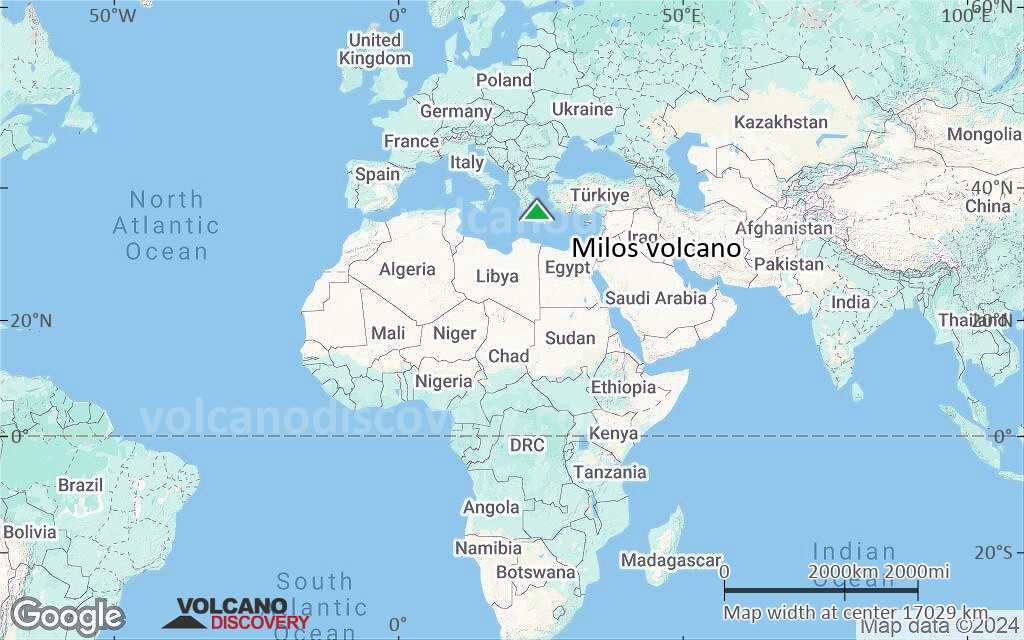
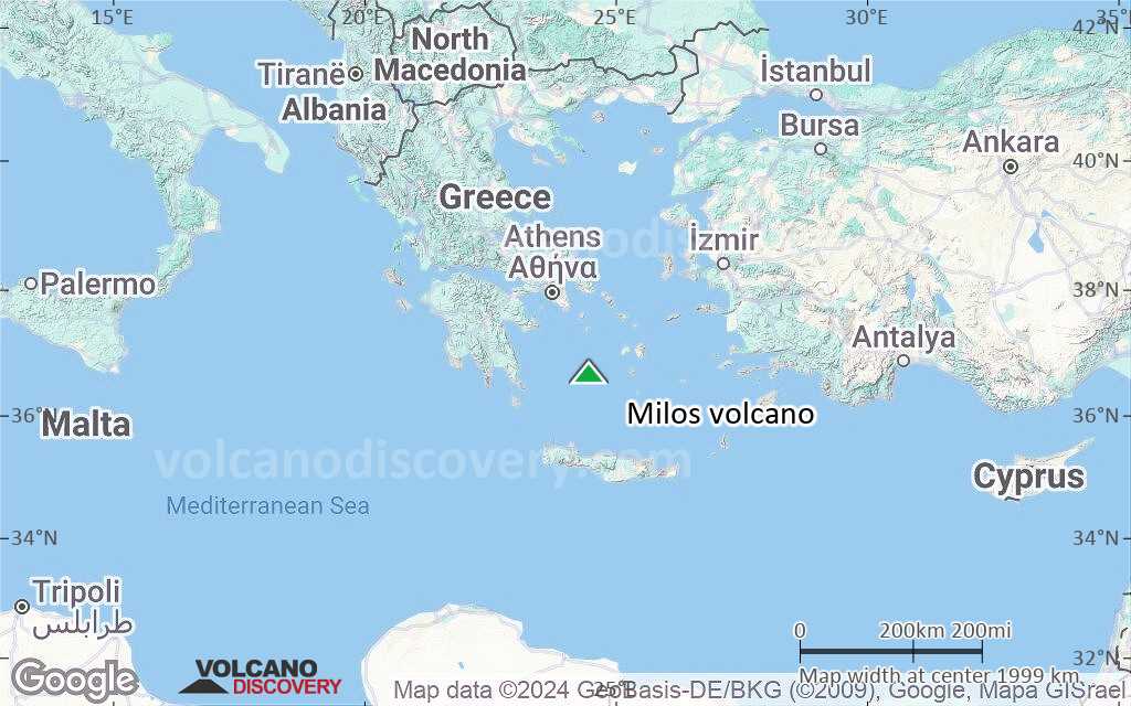
Terrain-type map of Milos volcano (region scale small)
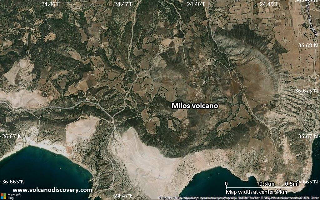
Satellite/aerial-type map of Milos volcano (local scale large)

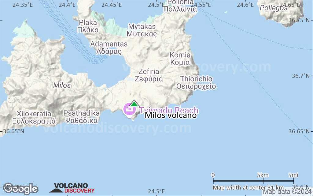
Terrain-type map of Milos volcano (local scale large)
Satellite/aerial-type map of Milos volcano (local scale medium)
Terrain-type map of Milos volcano (local scale medium)
Satellite/aerial-type map of Milos volcano (local scale small)
Terrain-type map of Milos volcano (local scale small)
Satellite/aerial-type map of Milos volcano (scale of 10s of km)
Terrain-type map of Milos volcano (scale of 10s of km)
Satellite/aerial-type map of Milos volcano (scale of 20-40 km)
Terrain-type map of Milos volcano (scale of 20-40 km)

Satellite/aerial-type map of Milos volcano (scale of approx. 10-20 km)
Terrain-type map of Milos volcano (scale of approx. 10-20 km)
Satellite/aerial-type map of Milos volcano (scale of 5-10 km)
Satellite/aerial-type map of Milos volcano (scale of few kilometers)


