


Agrigan Volcano
Updated: Nov 15, 2025 09:02 GMT -
Stratovolcano
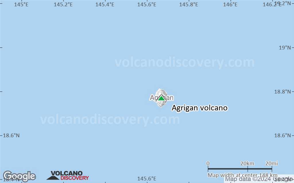
Mariana Islands, USA, 18.77°N / 145.67°E 
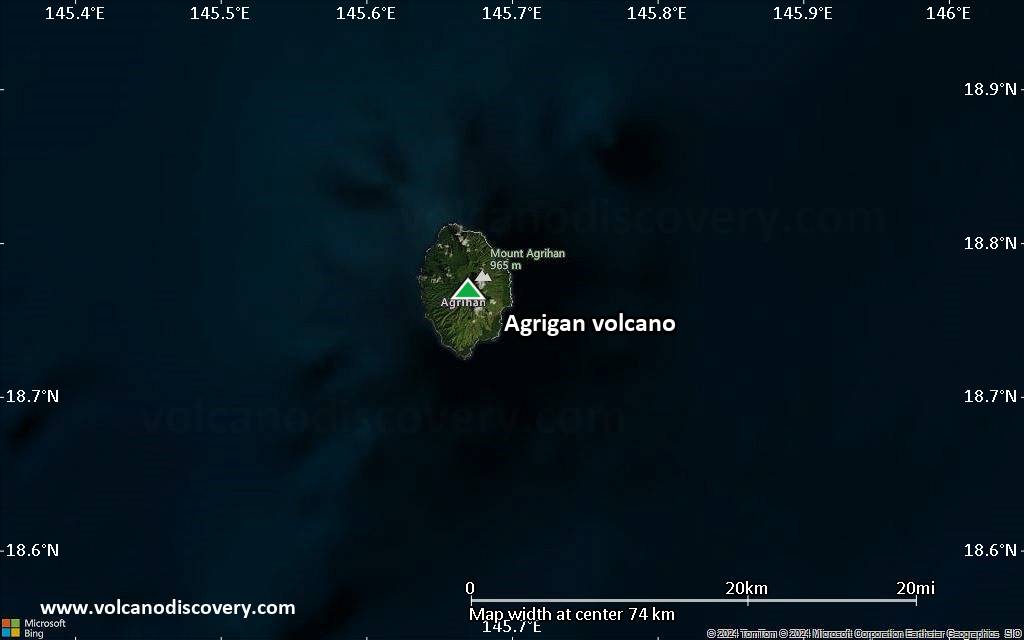
Summit height: 965 m / 3,166 ft
Current status: normal or dormant (1 out of 5)
Last update: 9 Mar 2022
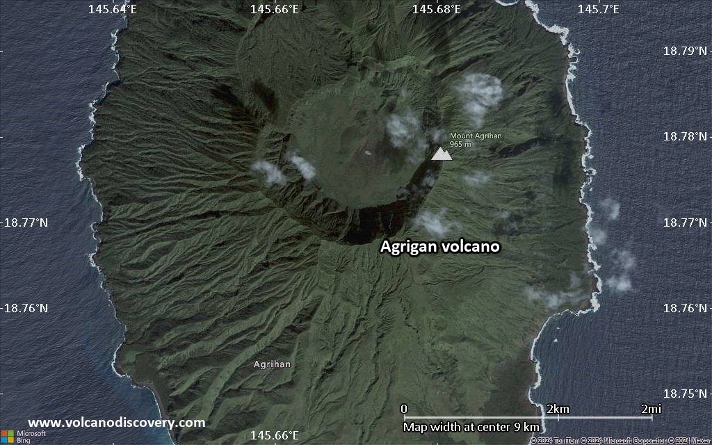
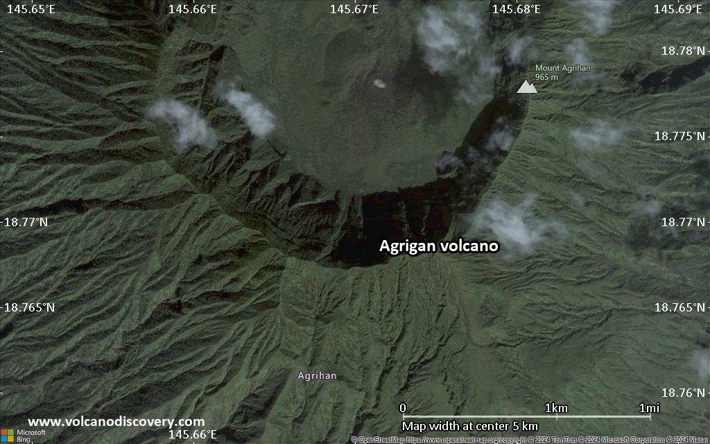
Agrigan volcano is an active stratovolcano and the highest of the volcanoes in the Marianas volcanic arc. It contains contains a 500-m-deep, flat-floored caldera. The last confirmed eruption was in 1917.
[smaller] [larger]
Agrigan volcano eruptions: 1917
Latest nearby earthquakes
| Date and Time | Mag / Depth | Distance / Location | |||
|---|---|---|---|---|---|
| Aug 24, 09:37 am (Saipan) | 4.5 223 km | 25 km (16 mi) to the NW | Info | ||
| Thursday, August 7, 2025 GMT (1 quake) | |||||
| Aug 7, 07:18 pm (Saipan) | 4.3 227 km | 12 km (7.3 mi) to the W | Info | ||
| Friday, July 25, 2025 GMT (1 quake) | |||||
| Jul 25, 07:44 pm (Saipan) | 4.9 254 km | 18 km (11 mi) to the W | Info | ||
| Friday, May 9, 2025 GMT (1 quake) | |||||
| May 10, 02:26 am (Saipan) | 4.3 231 km | 15 km (9.2 mi) to the NE | Info | ||
| Friday, April 11, 2025 GMT (1 quake) | |||||
| Apr 11, 01:18 pm (Saipan) | 4.9 247 km | 25 km (15 mi) to the NW | Info | ||
| Monday, April 7, 2025 GMT (1 quake) | |||||
| Apr 8, 08:59 am (Saipan) | 4.1 185 km | 22 km (14 mi) to the SE | Info | ||
| Friday, March 28, 2025 GMT (1 quake) | |||||
| Mar 28, 11:18 pm (GMT +10) | 4.3 238 km | 27 km (17 mi) to the NW | Info | ||
Background
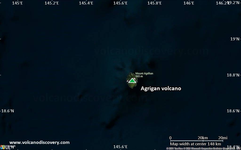
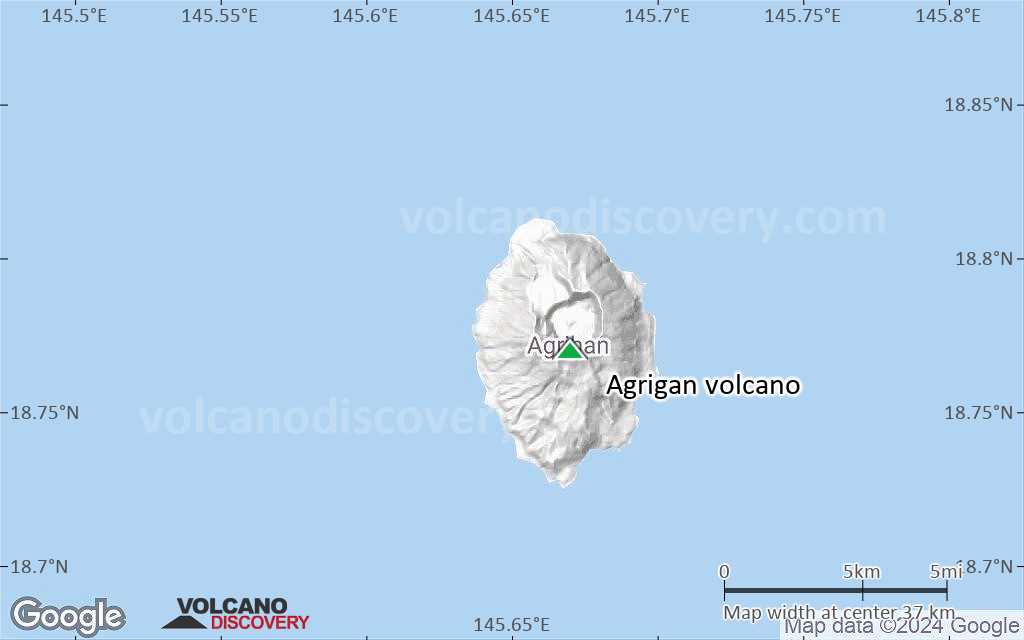
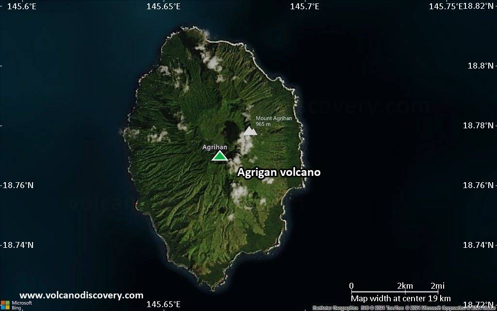
The highest of the Marianas arc volcanoes, Agrigan contains a 500-m-deep, flat-floored caldera. The elliptical island is 8 km long; its 965-m-high summit is the top of a massive 4000-m-high submarine volcano, the second largest in the Marianas Islands. Deep radial valley dissect the flanks of the thickly vegetated stratovolcano. The elongated caldera is 1 x 2 km wide and is breached to the NW, from where a prominent lava flow extends to the coast and forms a lava delta. The caldera floor is surfaced by fresh-looking lava flows and also contains two cones that may have formed during the volcano's only historical eruption in 1917. This eruption deposited large blocks and 3 m of ash and lapilli on a village on the SE coast, prompting its evacuation.---
Smithsonian / GVP volcano information
Significant volcanic eruptions: Agrigan volcano
In the past 10,000 years, Agrigan has had only one confirmed historic eruption in 1917.
The table below lists all known eruptions (date in bold face) of Agrigan volcano in historic times and during the past 10,000 years. Updates on the most recent volcanic activity of Agrigan can be found on the news page of Agrigan volcano.
| Date | Note | VEI | Deaths | Damage | |
|---|---|---|---|---|---|
Historical obs./docs. | 4 | ||||
Remark:
Our list of volcanic eruptions closely follows the database of eruptions of the Smithsonian's Global Volcanism Project (GVP), the internationally most recognized data source for volcanic eruptions, but also includes significant eruptive episodes or related volcano events. "Volcanic eruptions" are usually to be understood as sequences of individual eruptive episodes that can follow each other, or even overlap (if several vents are involved), and can last many years, decades or even longer. For example, the current activity of Stromboli volcano is understood as a single eruption that has been ongoing since 1934.
Sources: NOAA National Centers for Environmental Information (NCEI), Global Significant Volcanic Eruptions Database. doi:10.7289/V5TD9V7K | Global Volcanism Project / Smithsonian Institution
Agrigan Volcano FAQ
+When was the last eruption of Agrigan volcano?
The last confirmed eruption of Agrigan occurred in 1917.
+How often does Agrigan volcano erupt?
Since 1917, Agrigan volcano has had at least 1 historically documented eruptions. This means that it erupts on average every 108 years.
+How active is Agrigan volcano at present?
Agrigan volcano is occasionally active: Since 1900, it has had one eruption, which occurred in 1917.
+When was the largest eruption of Agrigan volcano?
The largest eruption of Agrigan volcano in historic times occurred in 1917. It ranks as a sub-plinian eruption with a magnitude 4 on the VEI (Volcanic Explosivity Index) scale.
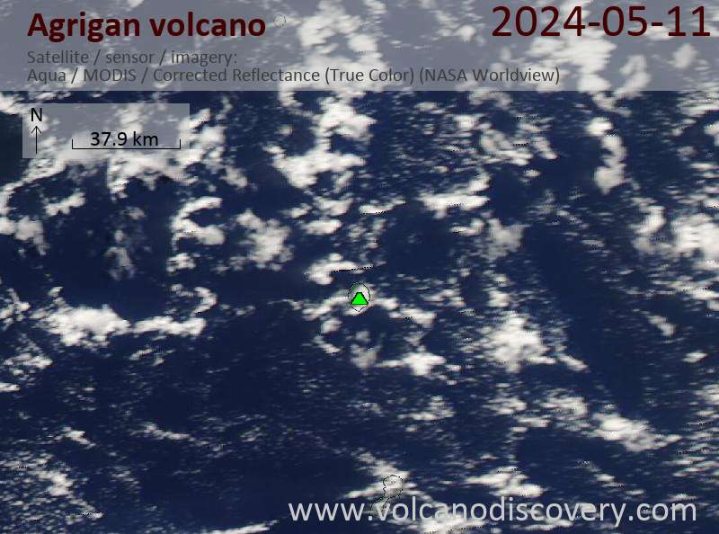
Latest satellite images
Agrigan Volcano Maps
Below is a selection of maps showing the location and surroundings of the volcano at various resolutions based on aerial-imagery / terrain maps. Feel free to use them for non-commercial purposes on your blog or website as long as you credit them with a link back to this page (click to copy it).
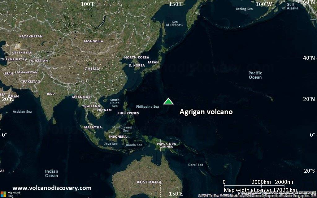
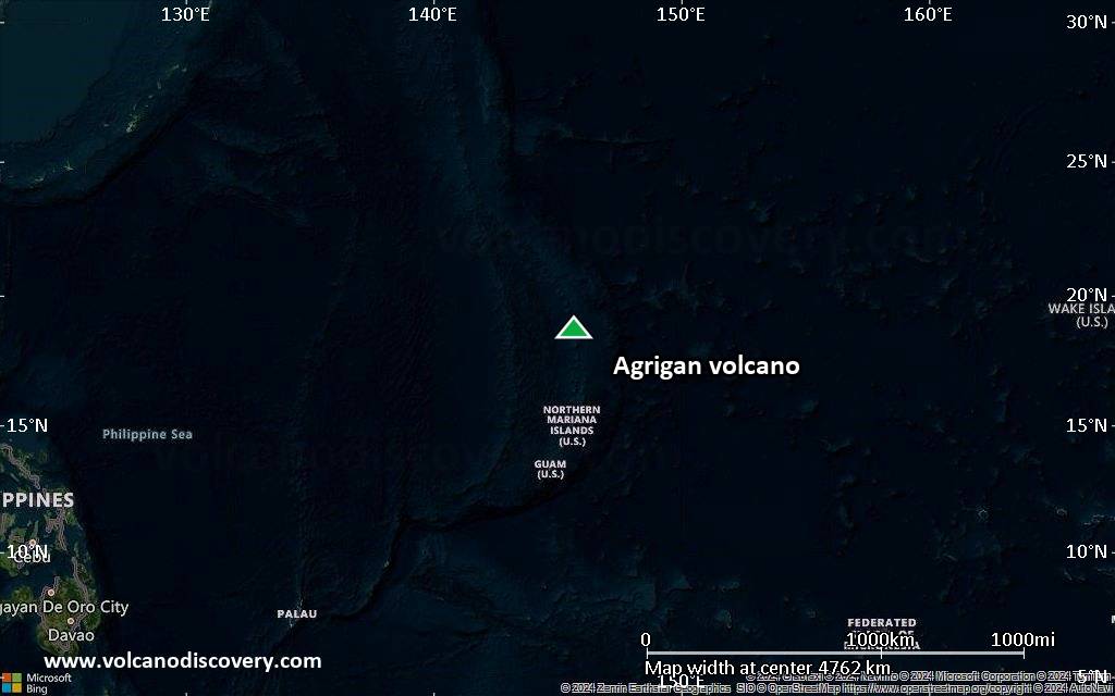
Satellite/aerial-type map of Agrigan volcano (world scale)
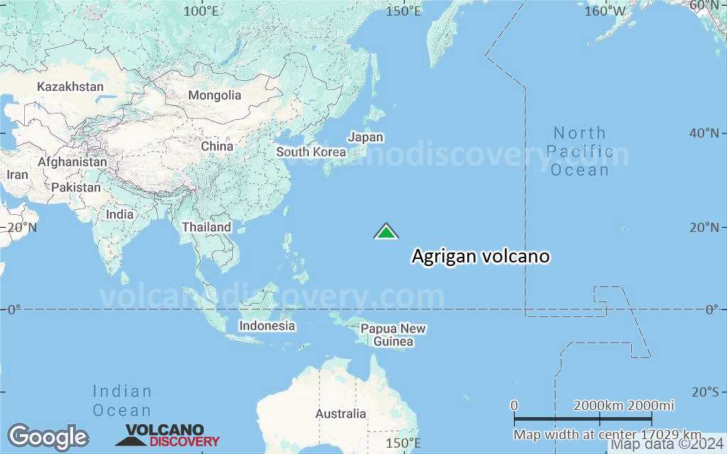
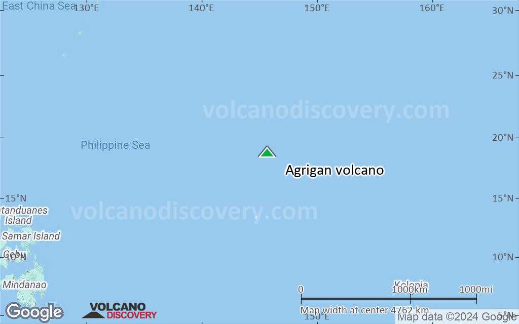
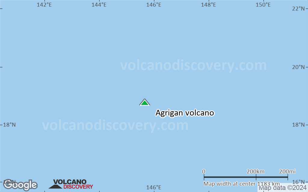
Terrain-type map of Agrigan volcano (world scale)
Satellite/aerial-type map of Agrigan volcano (region scale large)
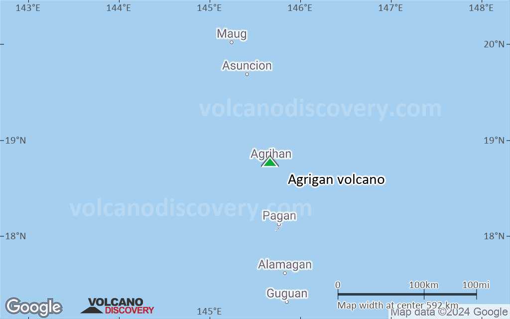
Terrain-type map of Agrigan volcano (region scale large)

Satellite/aerial-type map of Agrigan volcano (region scale medium)
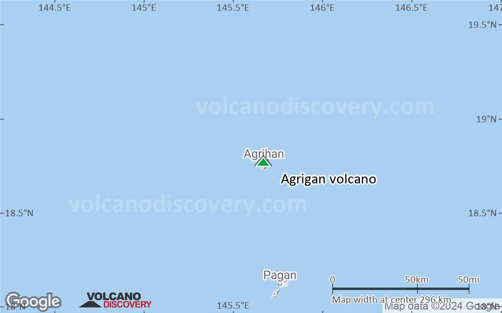
Terrain-type map of Agrigan volcano (region scale medium)
Satellite/aerial-type map of Agrigan volcano (region scale small)
Terrain-type map of Agrigan volcano (region scale small)

Satellite/aerial-type map of Agrigan volcano (local scale large)
Terrain-type map of Agrigan volcano (local scale large)

Satellite/aerial-type map of Agrigan volcano (local scale medium)
Terrain-type map of Agrigan volcano (local scale medium)
Satellite/aerial-type map of Agrigan volcano (local scale small)
Terrain-type map of Agrigan volcano (local scale small)
Satellite/aerial-type map of Agrigan volcano (scale of 10s of km)

Terrain-type map of Agrigan volcano (scale of 10s of km)

Satellite/aerial-type map of Agrigan volcano (scale of 20-40 km)
Terrain-type map of Agrigan volcano (scale of 20-40 km)
Satellite/aerial-type map of Agrigan volcano (scale of approx. 10-20 km)

Terrain-type map of Agrigan volcano (scale of approx. 10-20 km)
Satellite/aerial-type map of Agrigan volcano (scale of 5-10 km)
Satellite/aerial-type map of Agrigan volcano (scale of few kilometers)


