Berutarube Volcano
Updated: Jul 23, 2025 19:24 GMT -
stratovolcano
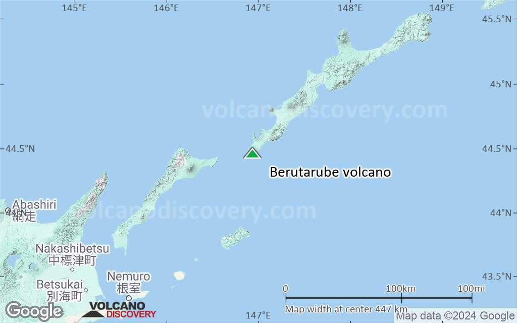
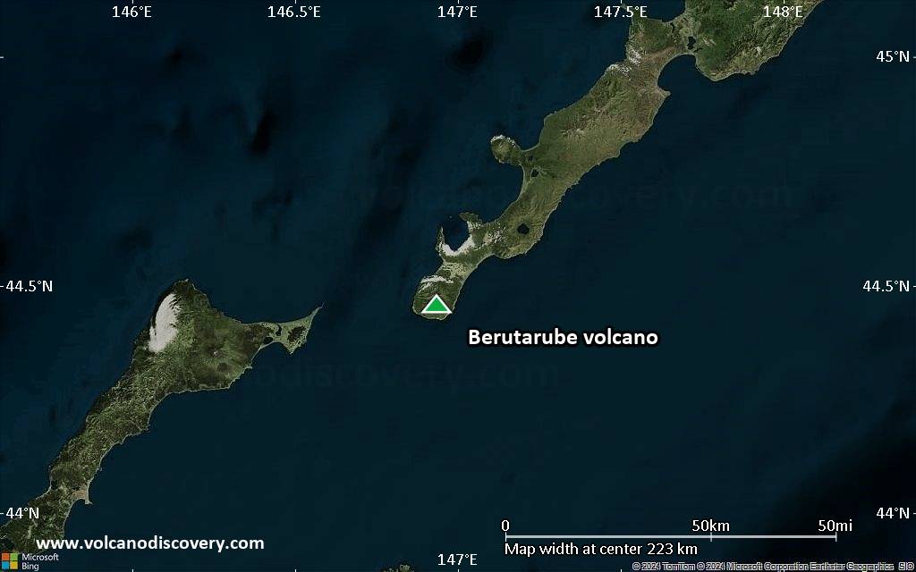
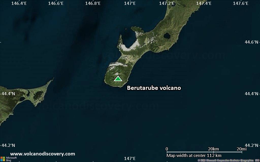
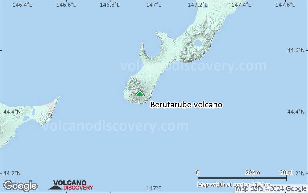
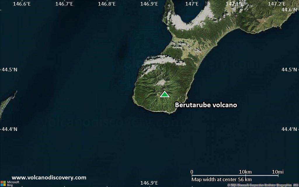
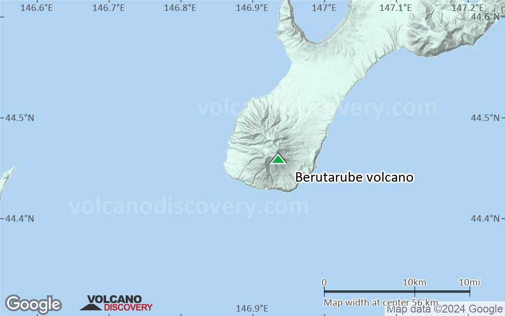
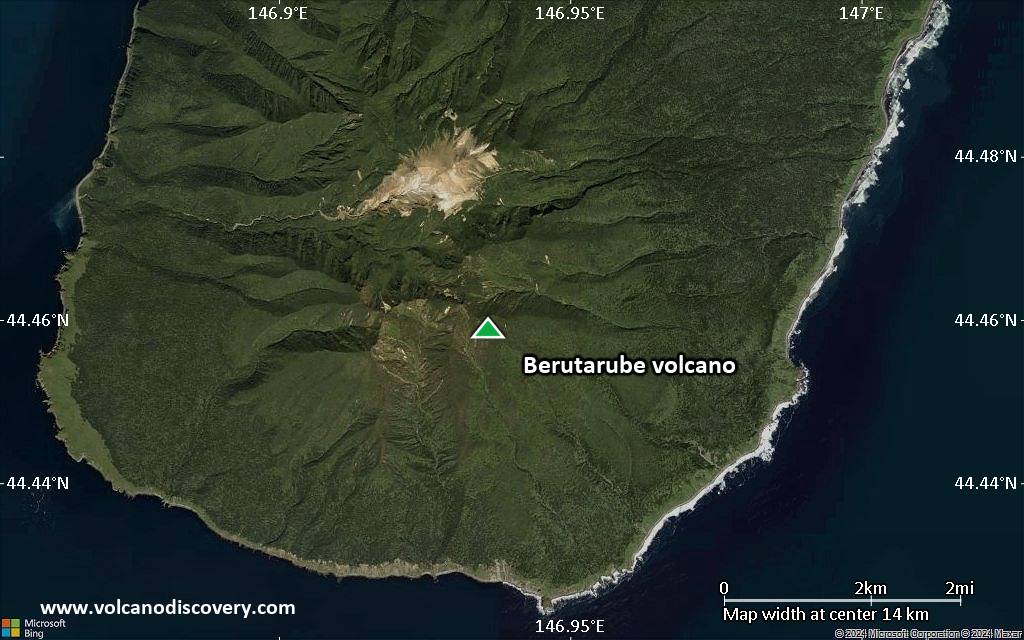
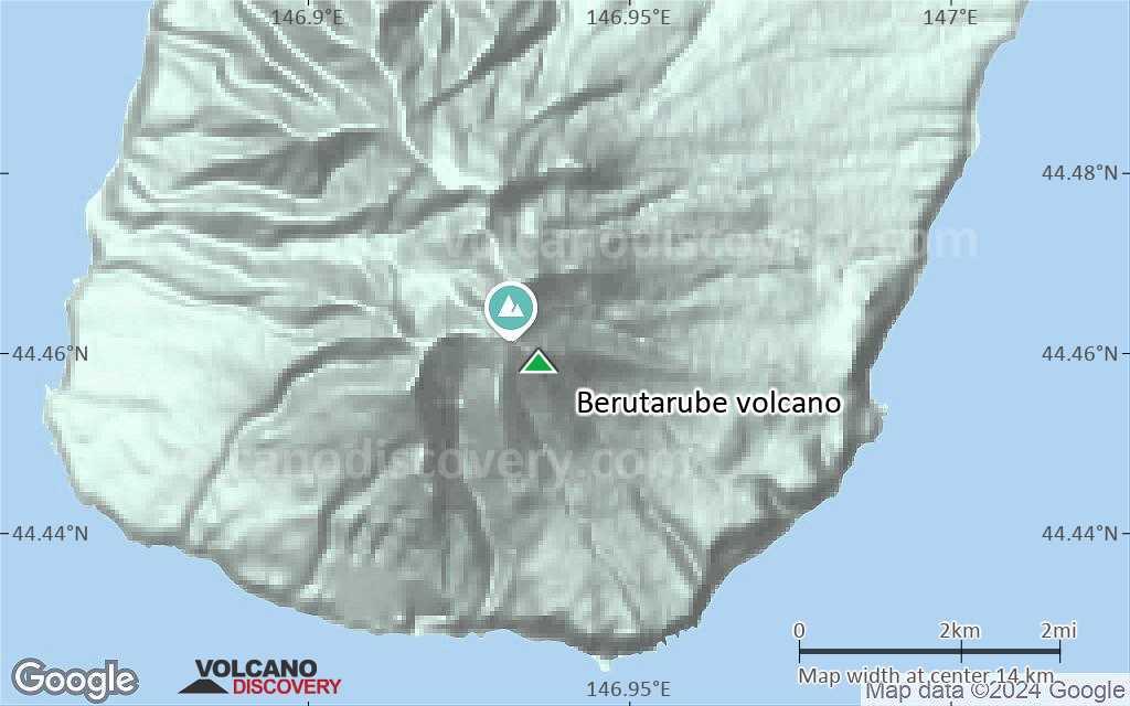
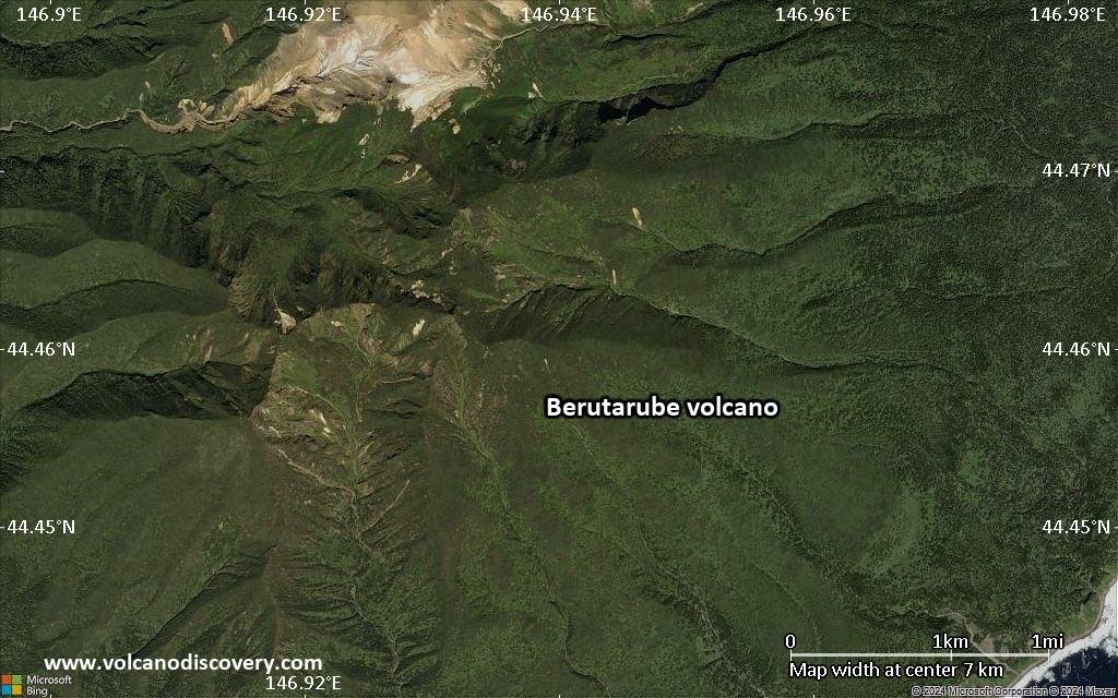
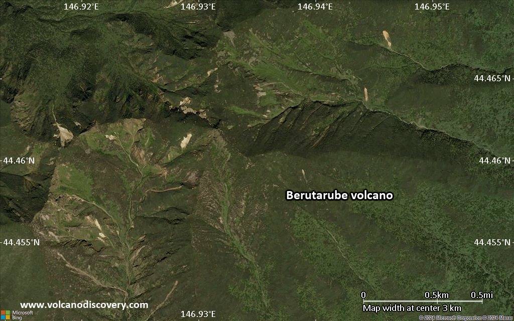
Iturup Island (Kuril Islands), 44.46°N / 146.94°E 
Summit height: 1221 m / 4,006 ft
Current status: normal or dormant (1 out of 5)
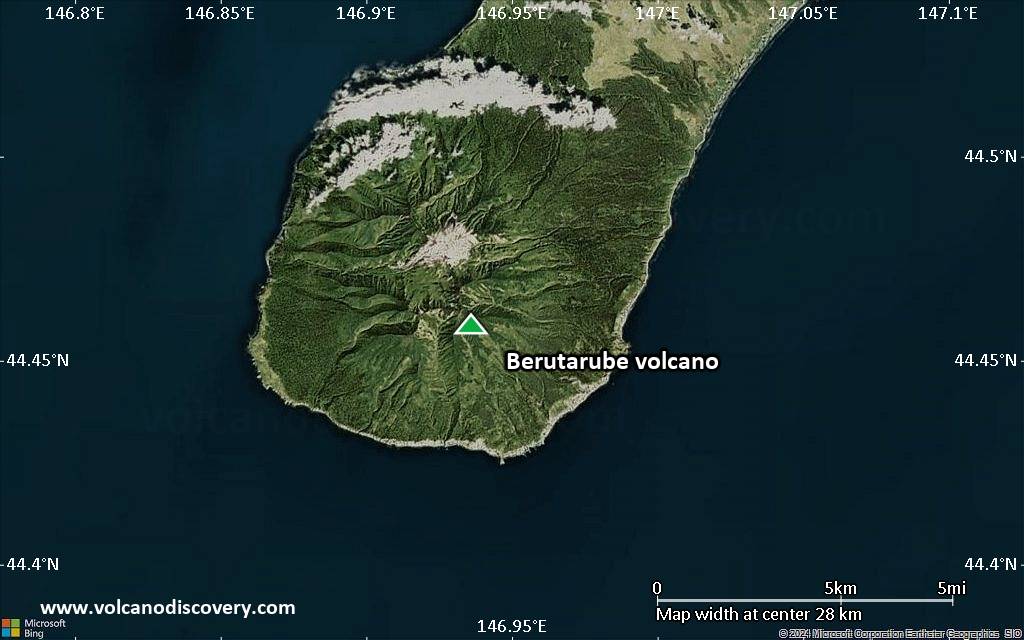
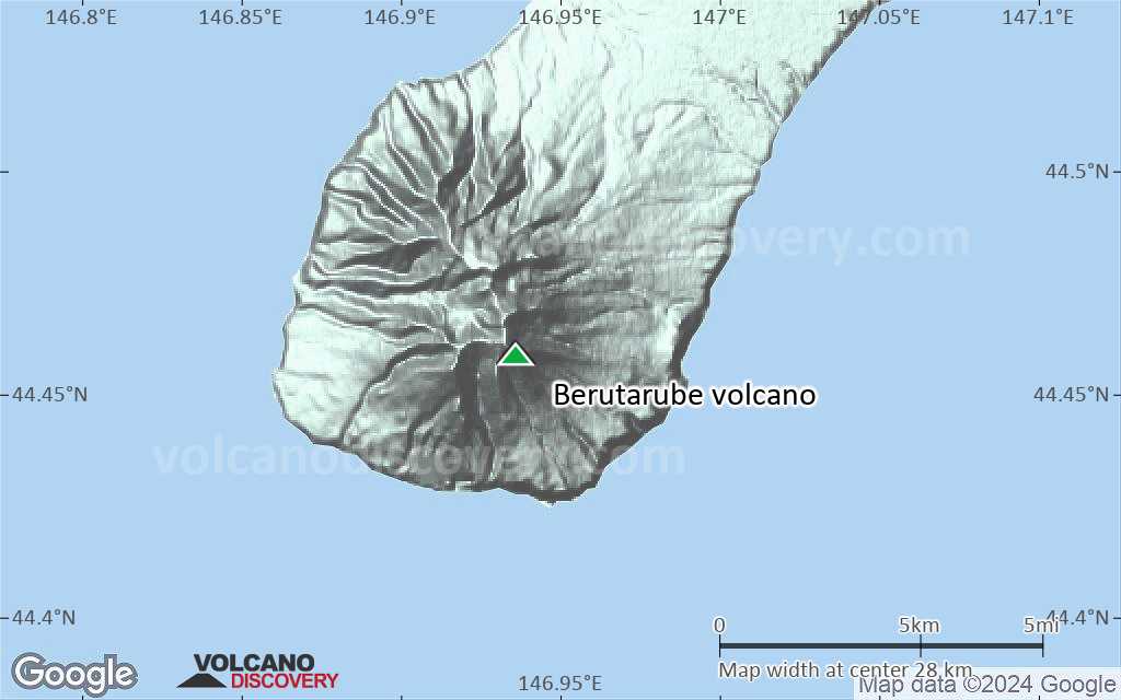
Berutarube volcano (also written as Berutarubesan volcano) is an andesitic-to-dacitic stratovolcano on the SW tip of Iturup Island in the southern Kuriles. It has gentle slopes which are deeply eroded by glacial valleys. Funaroles and sufur deposits occur in the inner walls of the central crater.
[smaller] [larger]
Berutarube volcano eruptions: unknown, but less than 10,000 years ago
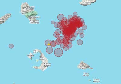
Latest nearby earthquakes
| Date and Time | Mag / Depth | Distance / Location | |||
|---|---|---|---|---|---|
| Jul 23, 03:15 pm (Universal Time) | 4.5 140 km | 20 km (12 mi) to the SW | Info | ||
| Jul 24, 02:15 am (GMT +11) | 4.2 131 km | 28 km (17 mi) to the SW | Info | ||
Background
A low saddle on the NE side separates Berutarube volcano from the Lvinaya Past caldera. The only known activity at Berutarube volcano within the past 10,000 years built a small cinder cone on the intersecting headwalls of U-shaped valleys and cirques in the eroded summit region. The hydrothermally altered summit cone fed 2 small lava flows.Significant volcanic eruptions: Berutarube volcano
In the past 10,000 years, Berutarube has had only one confirmed historic eruption ###WHEN1###|only one confirmed historic eruption ###WHEN1### and one ###WHEN2### inferred from geological evidence|only one confirmed historic eruption ###WHEN1###, but at least ###NUM_INFERRED### eruptions can be inferred from geological evidence|at least ###NUM_CONFIRMED### confirmed eruptions, all documented by historical records or observations|at least ###NUM_CONFIRMED### confirmed volcanic eruptions, out of which ###NUM_HISTORIC### are documented by historical records, while the others can be inferred from geological evidence.
No historic eruptions are known from Berutarube volcano, but at least one eruption ###WHEN2### can be inferred from geological evidence|evidence from at least ###NUM_CONFIRMED### eruptions during the past 10,000 years can be found in the geological record.
There is one uncertain or discredited eruption in 1812 from Berutarube volcano.
The table below lists all known eruptions (date in bold face) of Berutarube volcano in historic times and during the past 10,000 years. Updates on the most recent volcanic activity of Berutarube can be found on the news page of Berutarube volcano.
| Date | Note | VEI | Deaths | Damage | |
|---|---|---|---|---|---|
?? | Uncertain Eruption | 1 | |||
Remark:
Our list of volcanic eruptions closely follows the database of eruptions of the Smithsonian's Global Volcanism Project (GVP), the internationally most recognized data source for volcanic eruptions, but also includes significant eruptive episodes or related volcano events. "Volcanic eruptions" are usually to be understood as sequences of individual eruptive episodes that can follow each other, or even overlap (if several vents are involved), and can last many years, decades or even longer. For example, the current activity of Stromboli volcano is understood as a single eruption that has been ongoing since 1934.
Sources: NOAA National Centers for Environmental Information (NCEI), Global Significant Volcanic Eruptions Database. doi:10.7289/V5TD9V7K | Global Volcanism Project / Smithsonian Institution
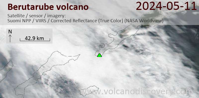
Latest satellite images
Berutarube Volcano Maps
Below is a selection of maps showing the location and surroundings of the volcano at various resolutions based on aerial-imagery / terrain maps. Feel free to use them for non-commercial purposes on your blog or website as long as you credit them with a link back to this page (click to copy it).
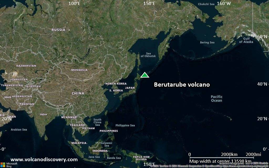
Satellite/aerial-type map of Berutarube volcano (world scale)
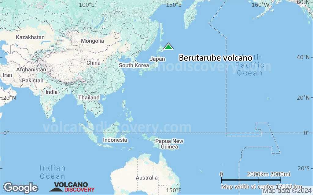
Terrain-type map of Berutarube volcano (world scale)
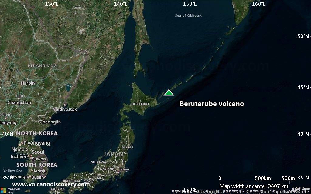
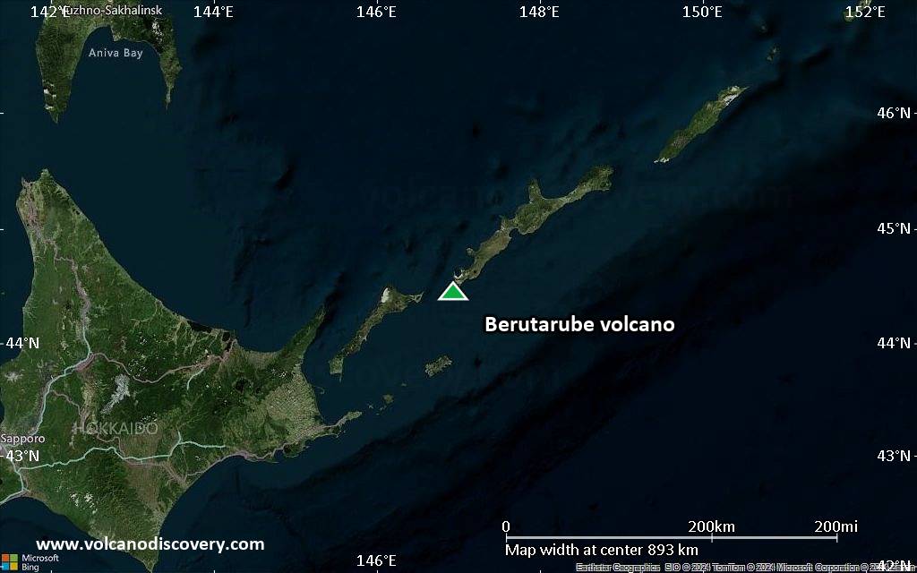
Satellite/aerial-type map of Berutarube volcano (region scale large)
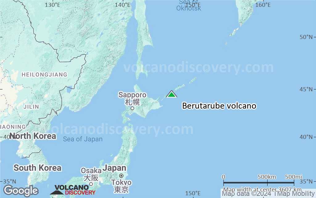
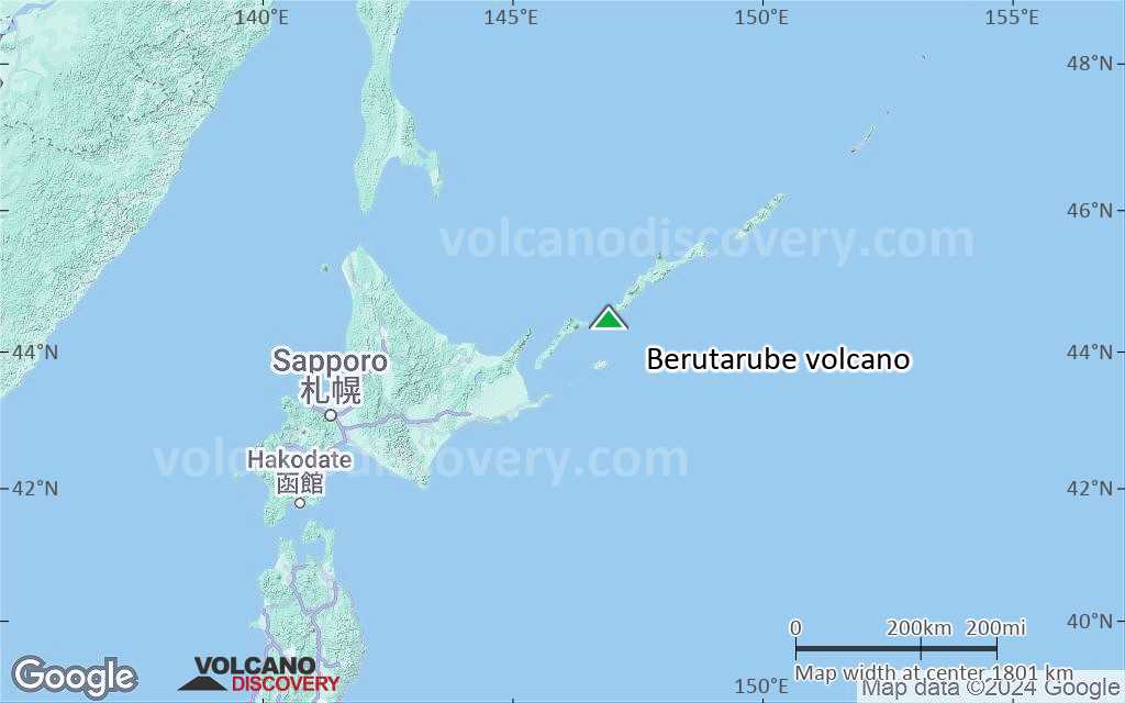
Terrain-type map of Berutarube volcano (region scale large)
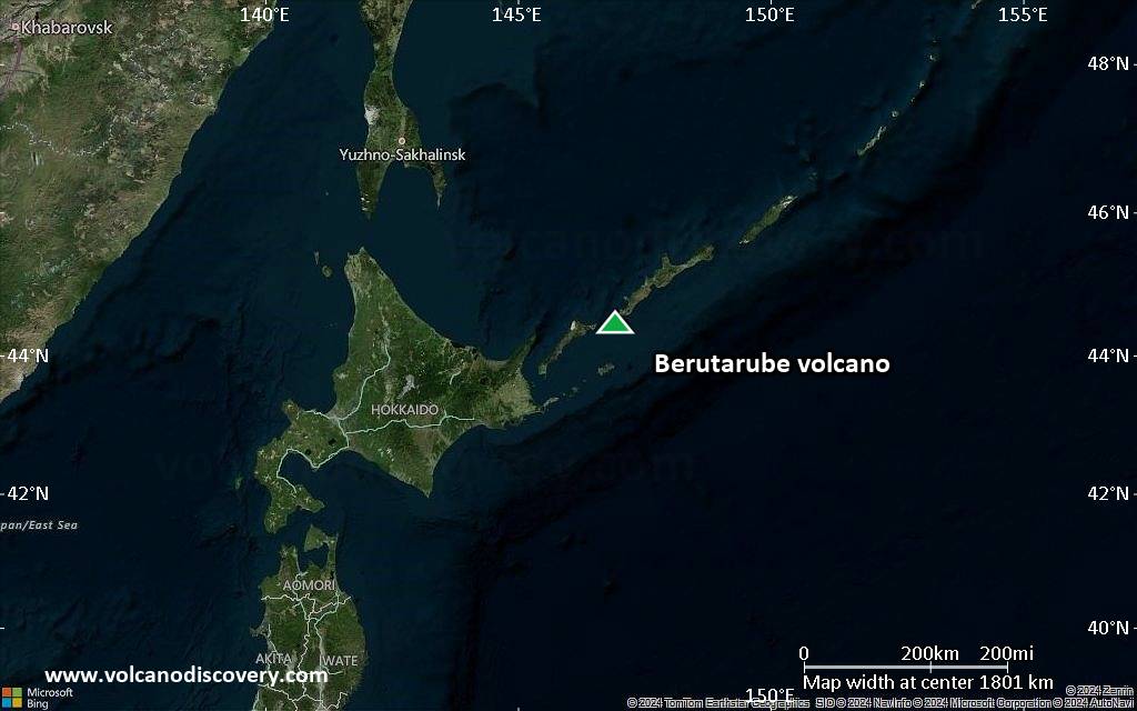
Satellite/aerial-type map of Berutarube volcano (region scale medium)
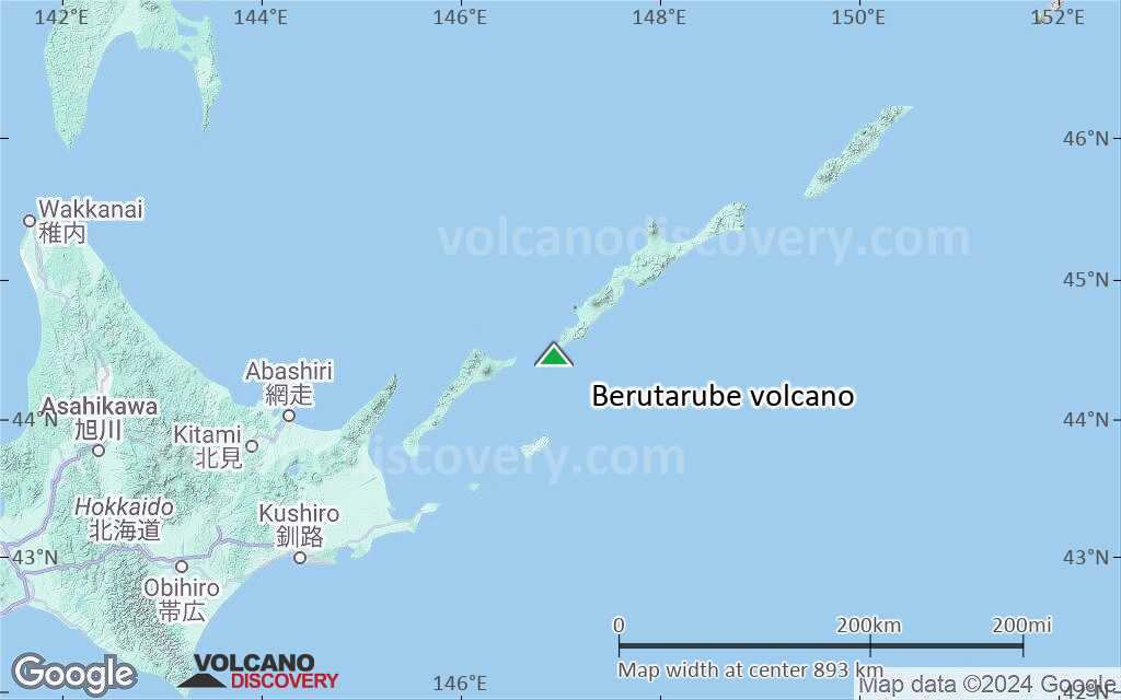
Terrain-type map of Berutarube volcano (region scale medium)
Satellite/aerial-type map of Berutarube volcano (region scale small)
Terrain-type map of Berutarube volcano (region scale small)
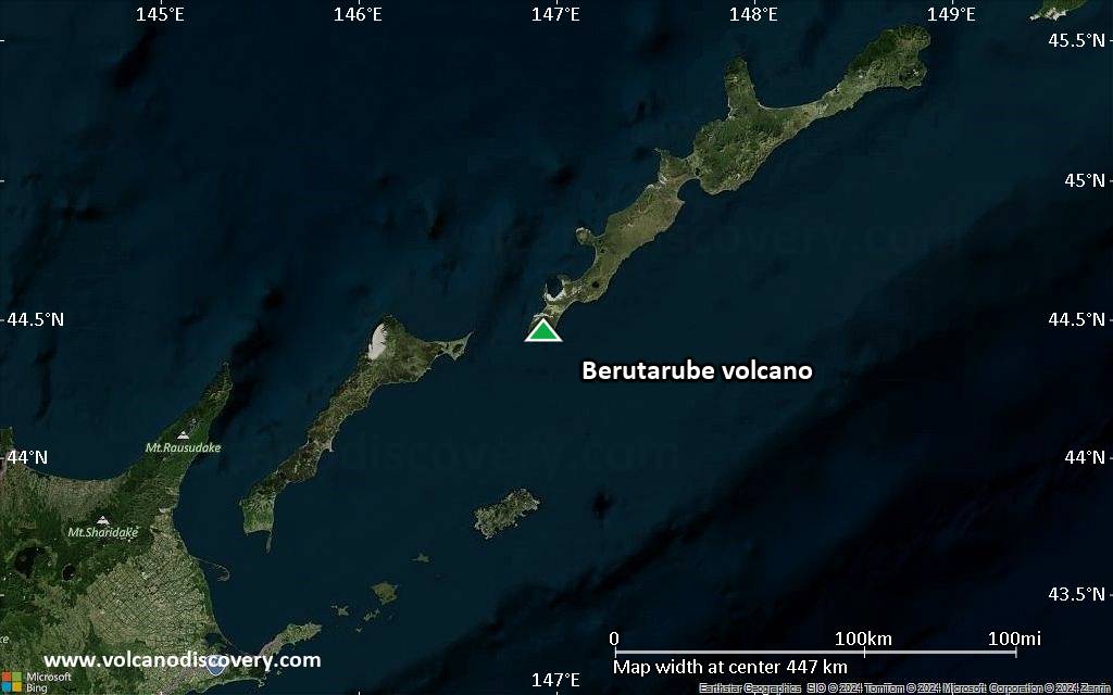
Satellite/aerial-type map of Berutarube volcano (local scale large)
Terrain-type map of Berutarube volcano (local scale large)
Satellite/aerial-type map of Berutarube volcano (local scale medium)

Terrain-type map of Berutarube volcano (local scale medium)
Satellite/aerial-type map of Berutarube volcano (local scale small)
Terrain-type map of Berutarube volcano (local scale small)
Satellite/aerial-type map of Berutarube volcano (scale of 10s of km)
Terrain-type map of Berutarube volcano (scale of 10s of km)
Satellite/aerial-type map of Berutarube volcano (scale of 20-40 km)
Terrain-type map of Berutarube volcano (scale of 20-40 km)
Satellite/aerial-type map of Berutarube volcano (scale of approx. 10-20 km)
Terrain-type map of Berutarube volcano (scale of approx. 10-20 km)
Satellite/aerial-type map of Berutarube volcano (scale of 5-10 km)
Satellite/aerial-type map of Berutarube volcano (scale of few kilometers)