


Doma Peaks Volcano
Updated: Nov 15, 2025 08:13 GMT -
stratovolcano
New Guinea (Papua New Guinea), -5.9°S / 143.15°E 
Summit height: 3568 m / 11,706 ft
Current status: normal or dormant (1 out of 5)
Doma Peaks is an andesitic stratovolcano located at the western end of a volcanic chain in the highlands of New Guinea.
The volcano has 2 westward facing escarpments which are probably the result of landslides.
It has a main cater breached towards the west by the Arua River, flank vents southwest of the summit, and a lava field on the northeastern flank.
The age of the last eruption is unknown. At present, there is geothermal activity at the headwaters of the Arua and Tebi Rivers.
[smaller] [larger]
Doma Peaks volcano eruptions: unknown
Latest nearby earthquakes
| Date and Time | Mag / Depth | Distance / Location | |||
|---|---|---|---|---|---|
| Apr 26, 09:17 pm (Port Moresby) | 4.5 10 km | 14 km (9 mi) to the E | Info | ||
Latest satellite images
Doma Peaks Volcano Maps
Below is a selection of maps showing the location and surroundings of the volcano at various resolutions based on aerial-imagery / terrain maps. Feel free to use them for non-commercial purposes on your blog or website as long as you credit them with a link back to this page (click to copy it).
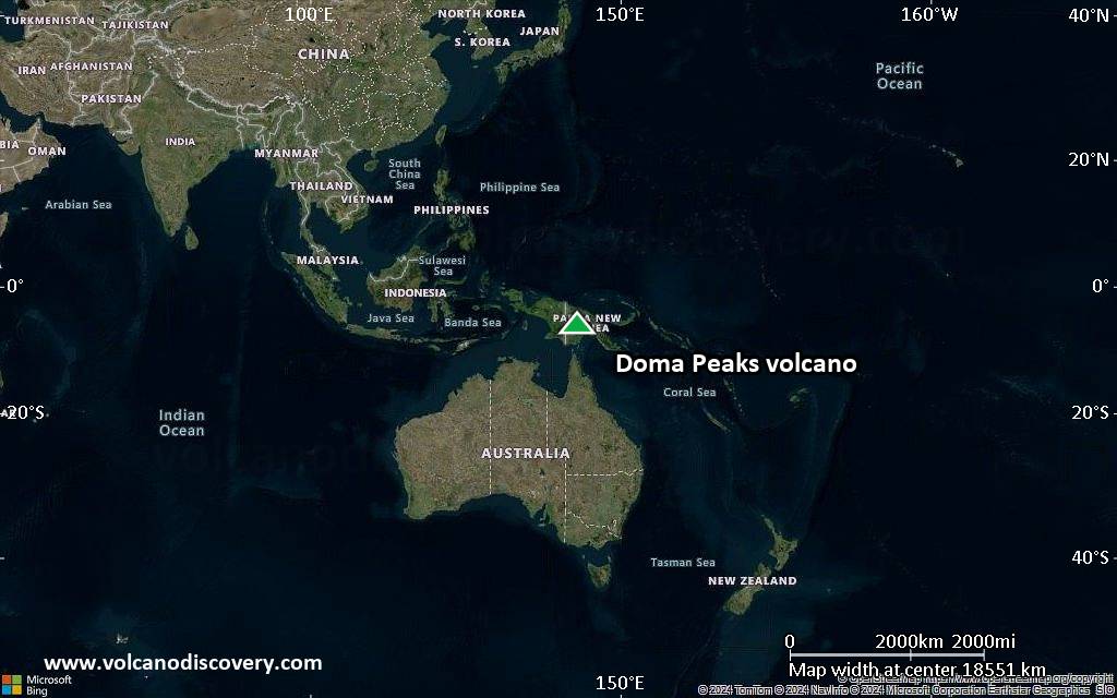
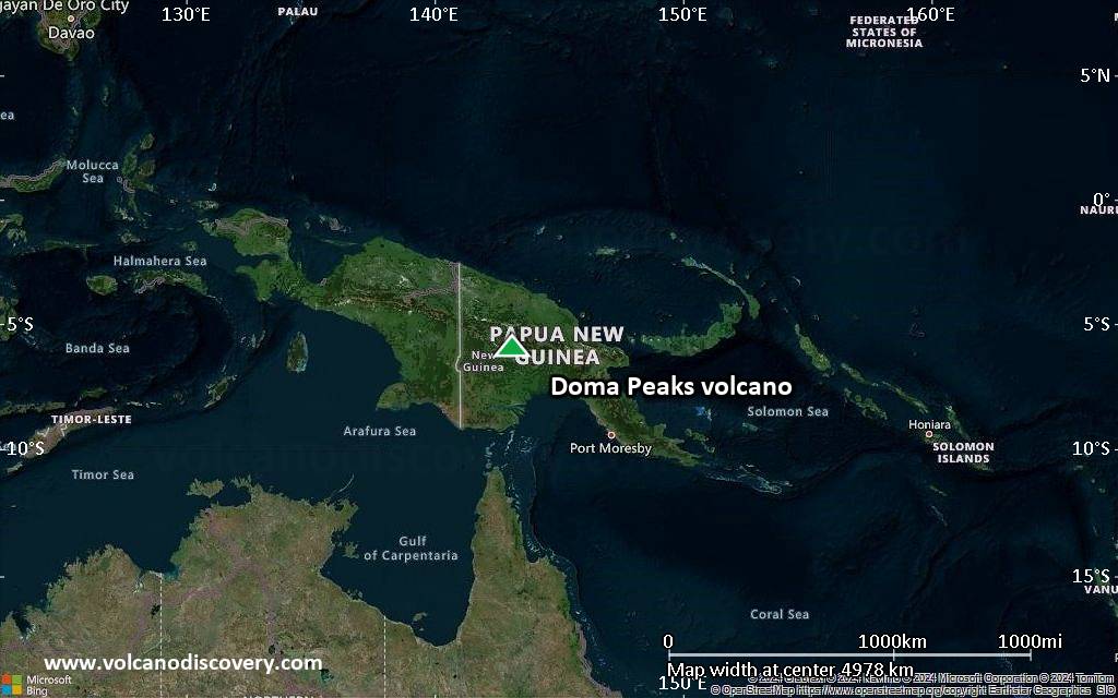
Satellite/aerial-type map of Doma Peaks volcano (world scale)
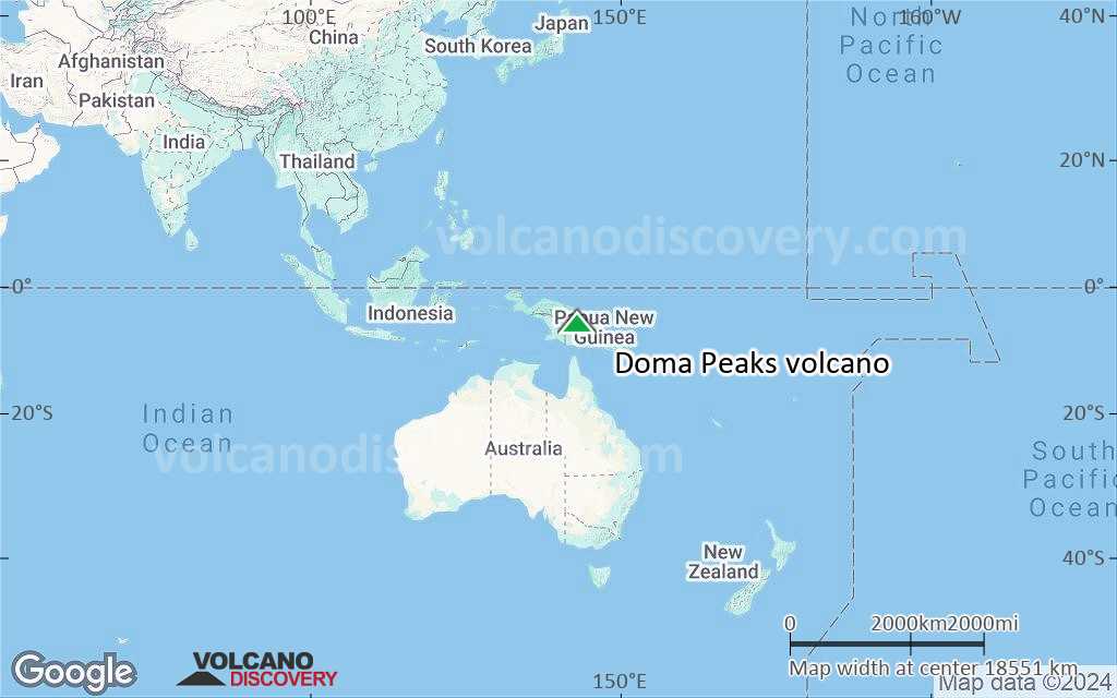
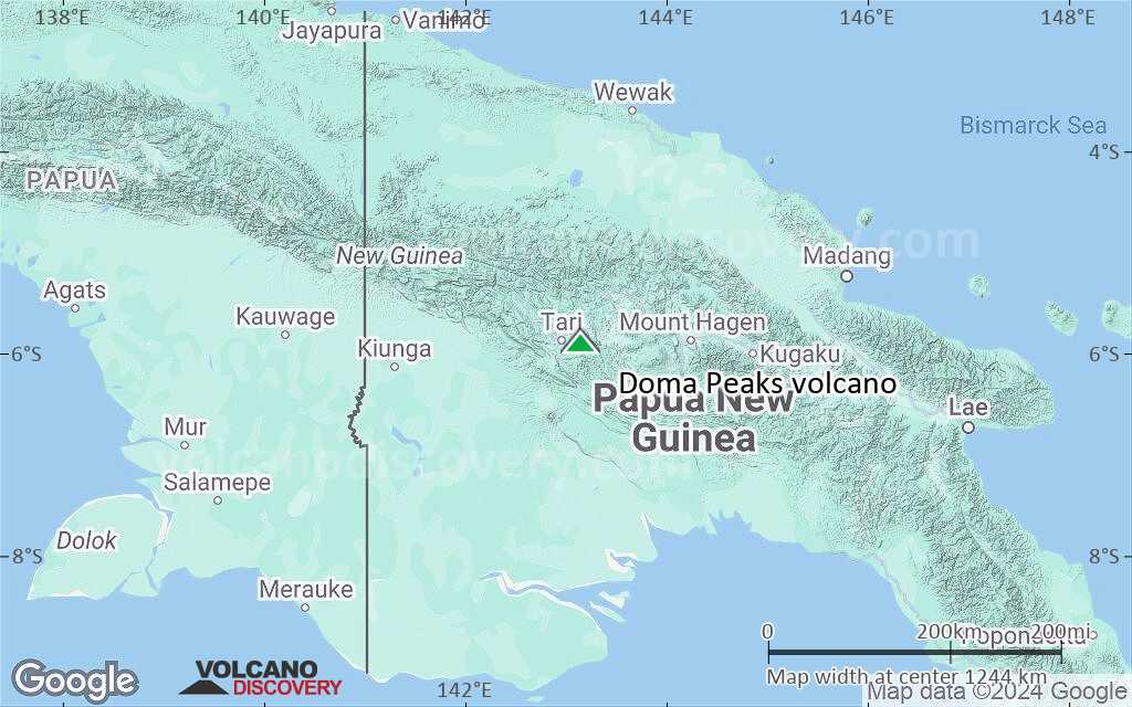
Terrain-type map of Doma Peaks volcano (world scale)
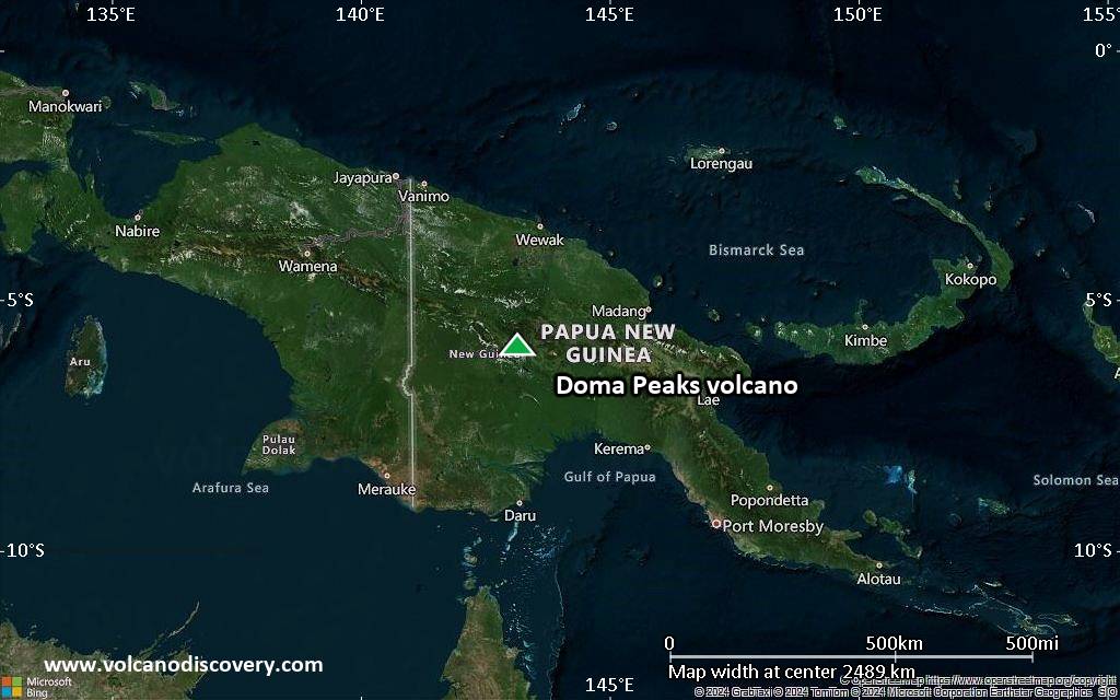
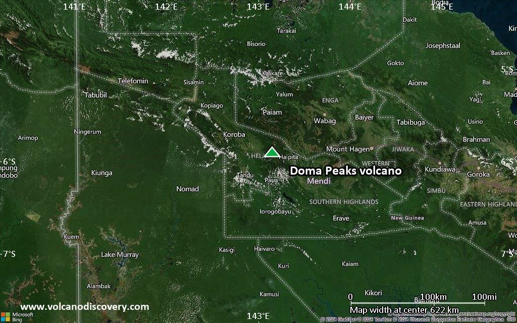
Satellite/aerial-type map of Doma Peaks volcano (region scale large)

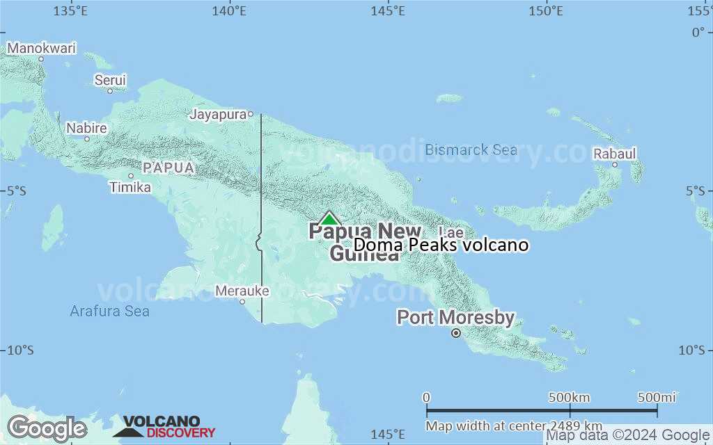
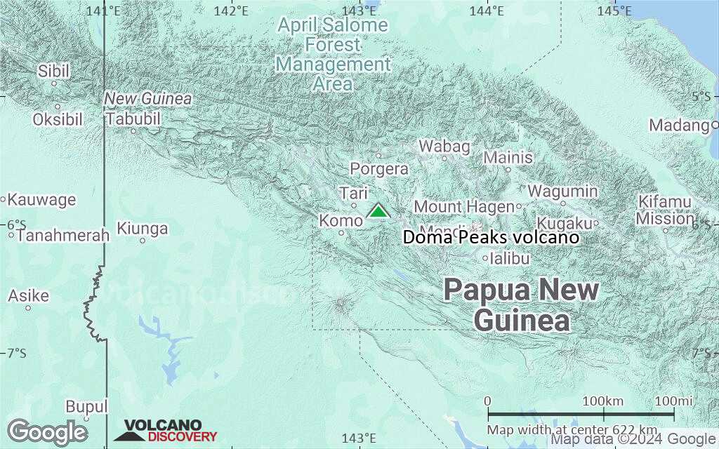
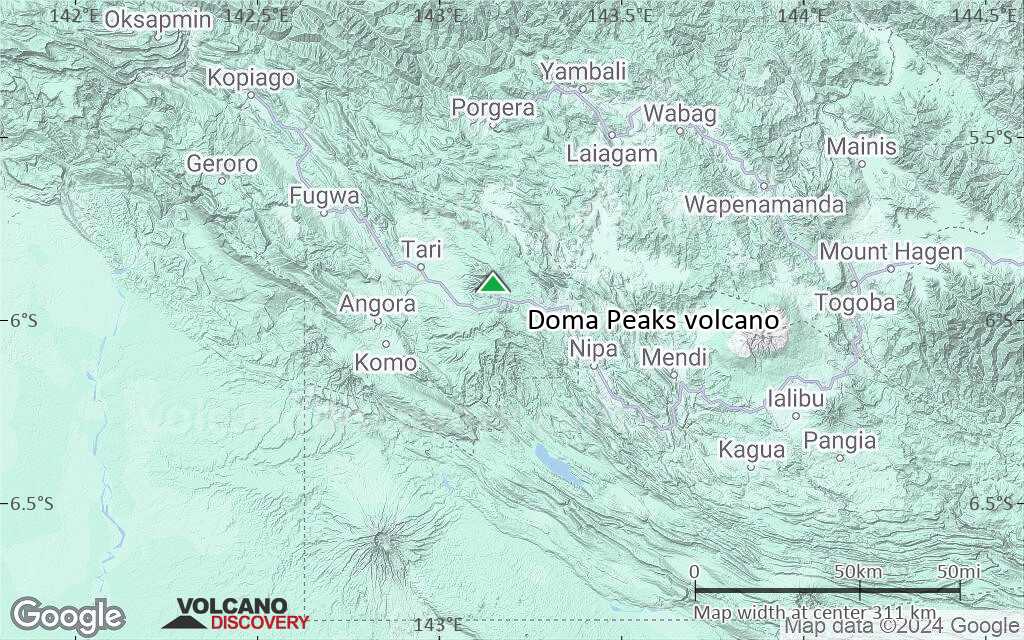
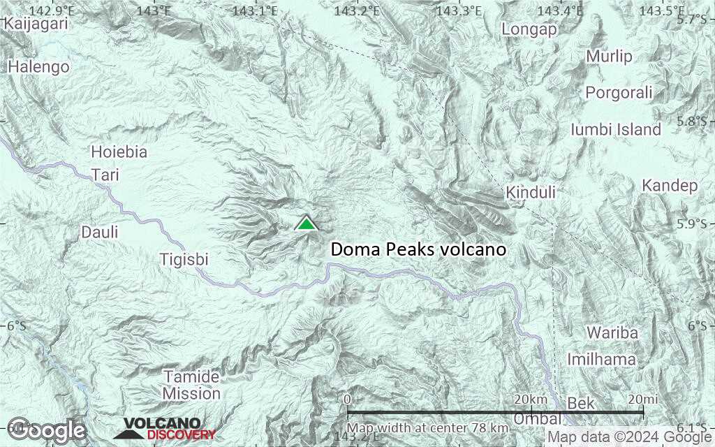
Terrain-type map of Doma Peaks volcano (region scale large)
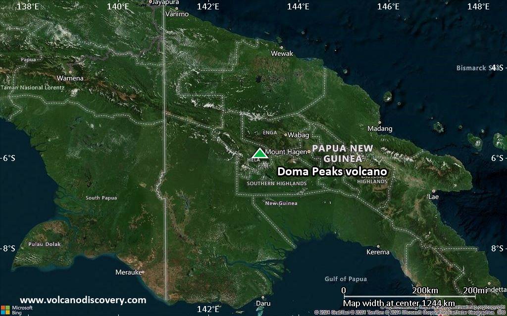
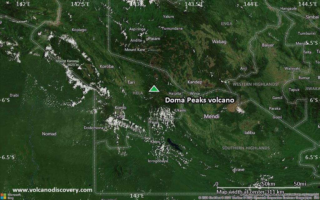
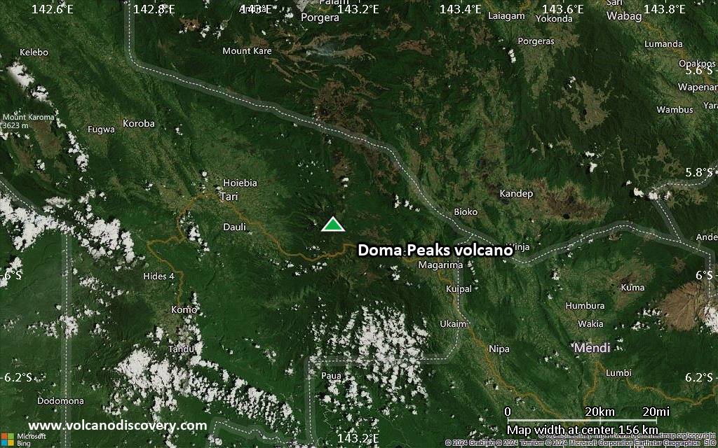
Satellite/aerial-type map of Doma Peaks volcano (region scale medium)
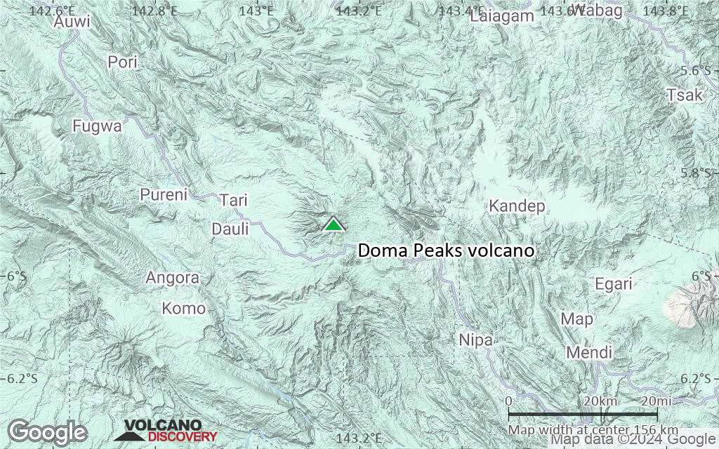
Terrain-type map of Doma Peaks volcano (region scale medium)
Satellite/aerial-type map of Doma Peaks volcano (region scale small)
Terrain-type map of Doma Peaks volcano (region scale small)
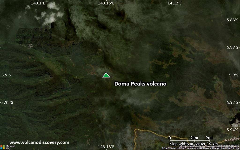
Satellite/aerial-type map of Doma Peaks volcano (local scale large)
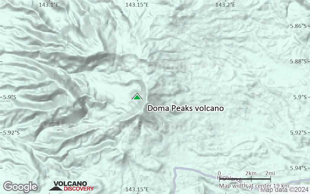
Terrain-type map of Doma Peaks volcano (local scale large)
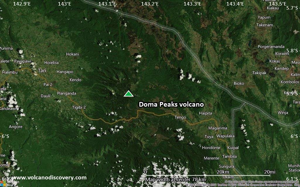
Satellite/aerial-type map of Doma Peaks volcano (local scale medium)
Terrain-type map of Doma Peaks volcano (local scale medium)
Satellite/aerial-type map of Doma Peaks volcano (local scale small)
Terrain-type map of Doma Peaks volcano (local scale small)
Satellite/aerial-type map of Doma Peaks volcano (scale of 10s of km)
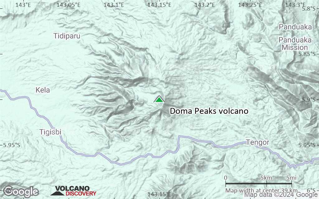
Terrain-type map of Doma Peaks volcano (scale of 10s of km)

Satellite/aerial-type map of Doma Peaks volcano (scale of 20-40 km)
Terrain-type map of Doma Peaks volcano (scale of 20-40 km)
Satellite/aerial-type map of Doma Peaks volcano (scale of approx. 10-20 km)
Terrain-type map of Doma Peaks volcano (scale of approx. 10-20 km)

Satellite/aerial-type map of Doma Peaks volcano (scale of 5-10 km)

Satellite/aerial-type map of Doma Peaks volcano (scale of few kilometers)


