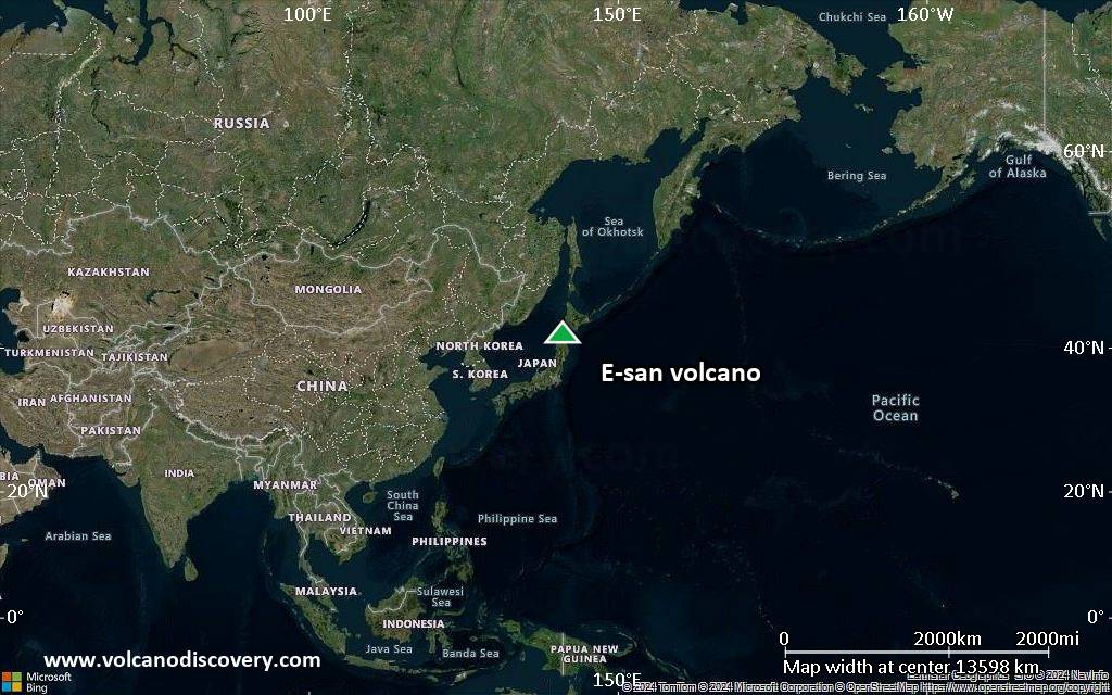
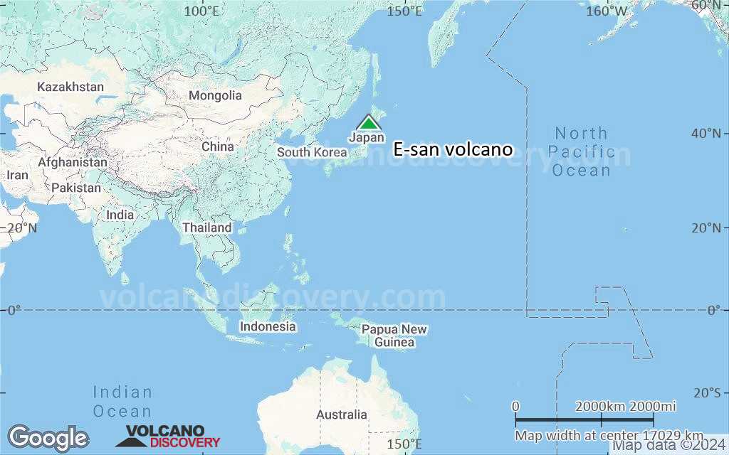
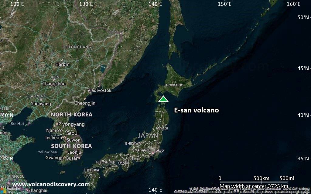
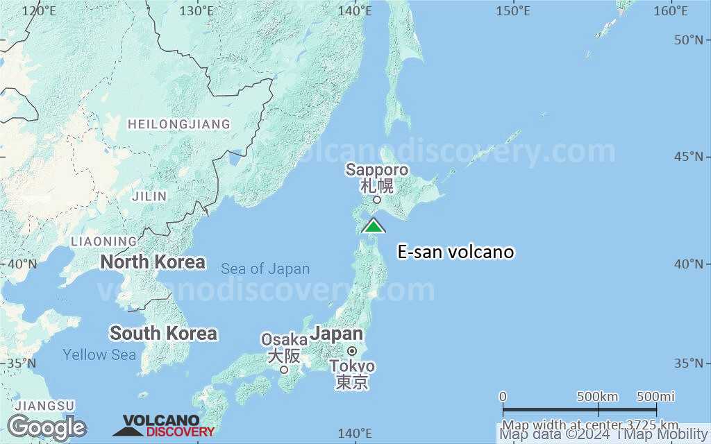
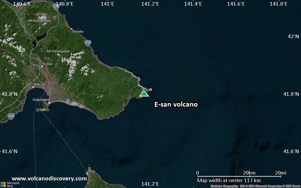
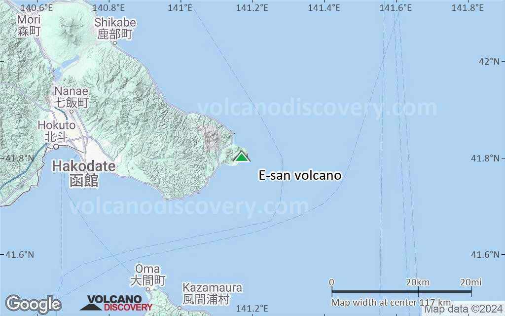
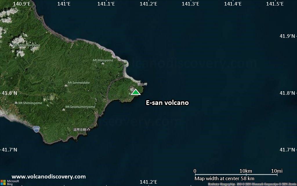
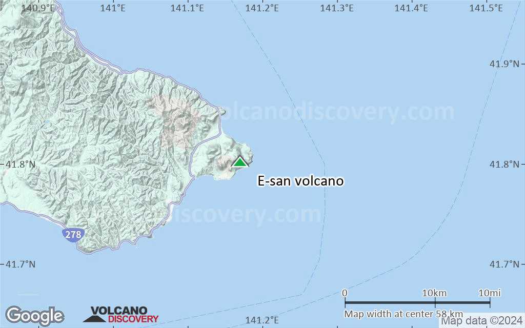
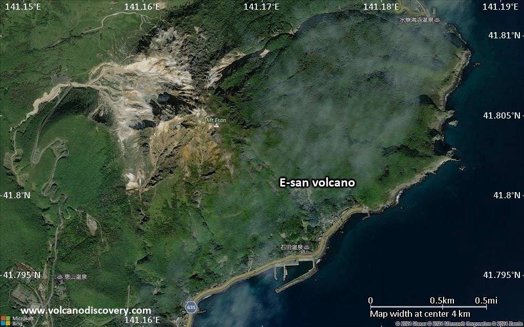
E-san Volcano
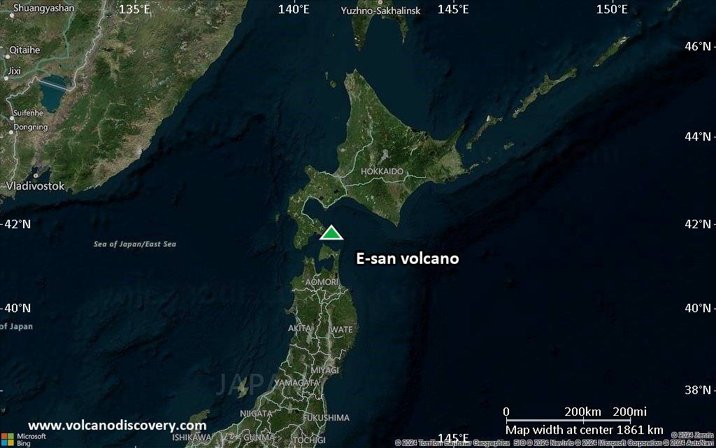
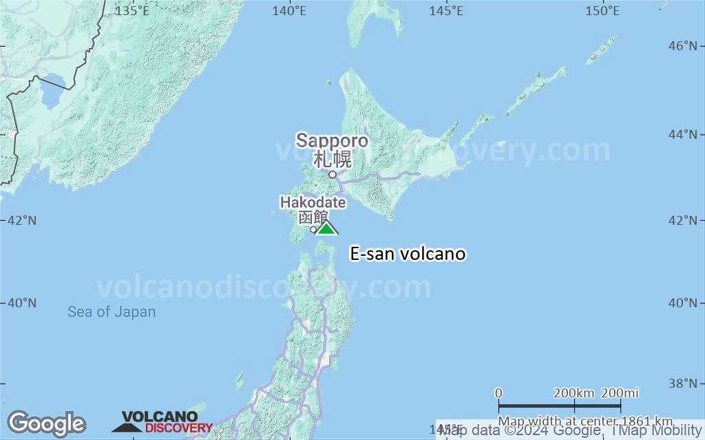
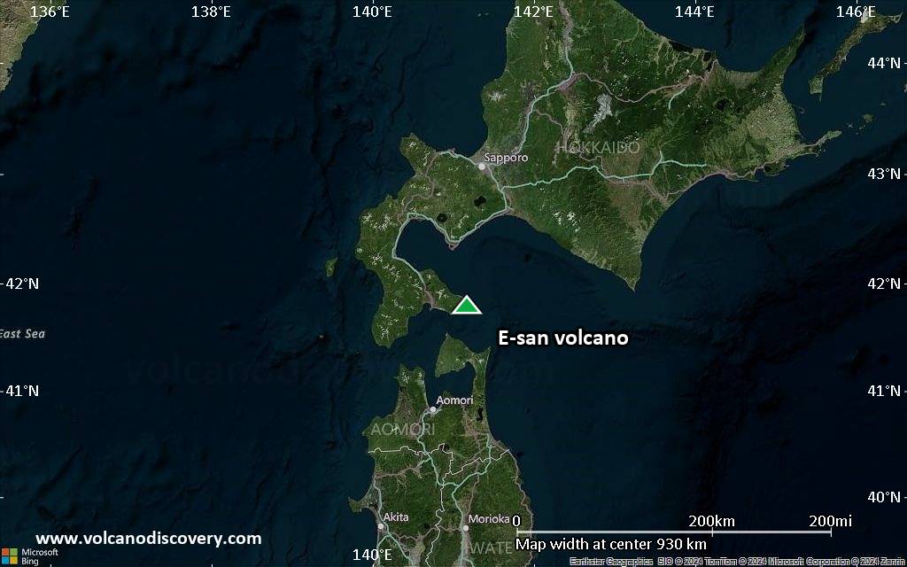
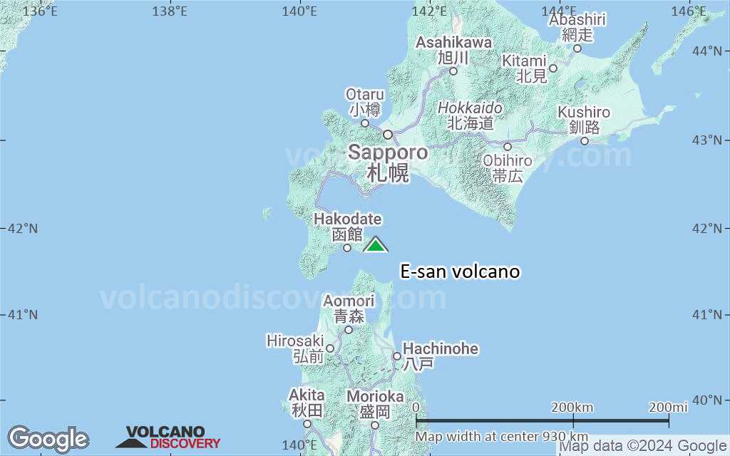
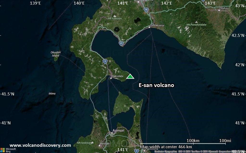
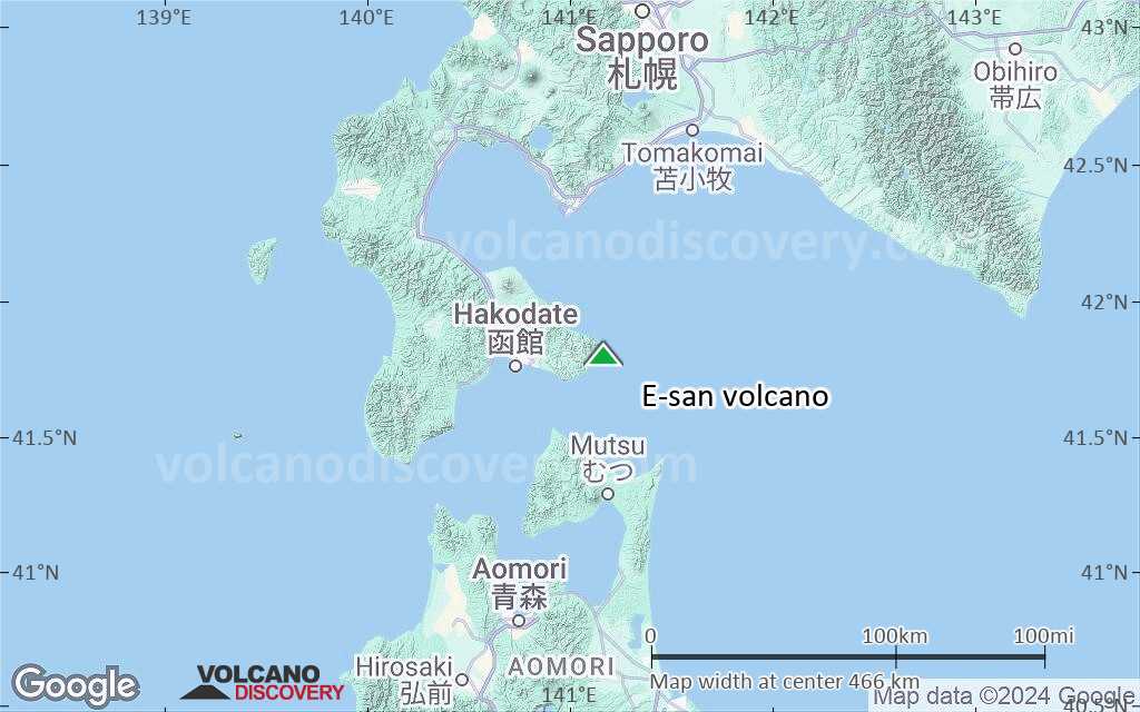
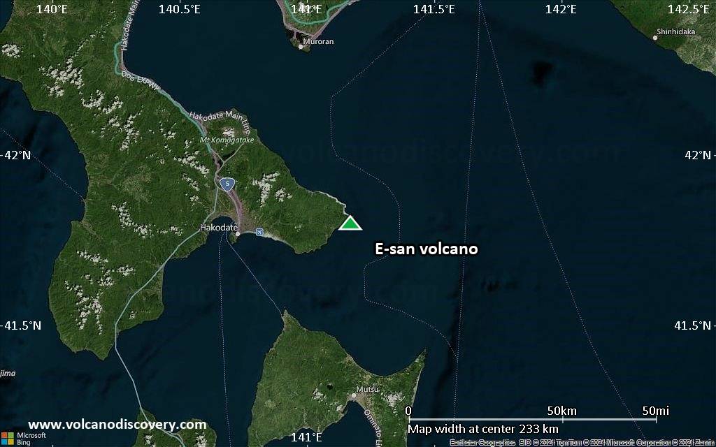
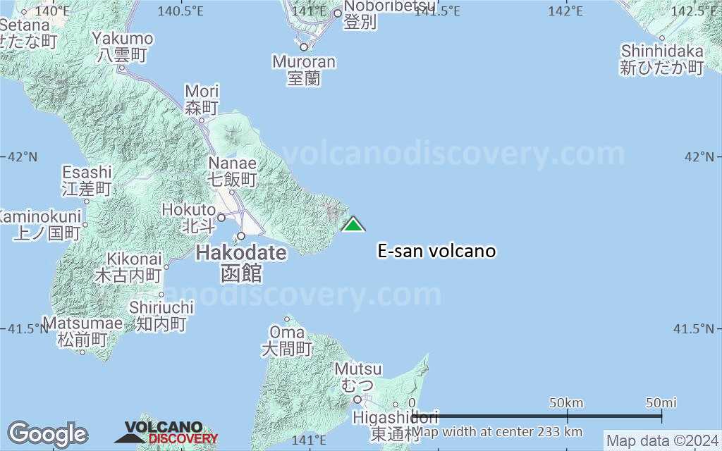
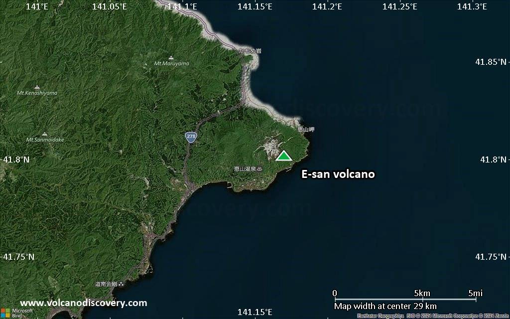
E-san (恵山(えさん) in Japanese) is the southernmost active volcano on Hokkaido. It is a small andesitic stratovolcano located in the southeast of the Kameda-hanto Peninsula extending into the Pacific Ocean from the south of Hokkaido across the Tsugaru Strait from Honshu.
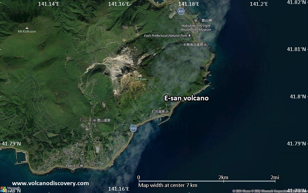
It has a lava dome forming its summit and another lava dome to the NW. Both have been active within the past 10,000 years, the summit lava dome forming about 9000 years ago.
The only known historic eruptions were a small phreatic eruption in 1846 which produced a lahar with many fatalities, and a small explosion in 1874.
E-san has many active fumaroles in a thermal area on the upper NW flank.
Fumaroles are located on the upper NW flank. At the foot of Mt. E-san is the Esan-onsen Hot Spring, a popular attraction since the latter half of the 19th century, it is renowned for its distinctive wine-red colored water.
E-san volcano eruptions: 1874, 1846, 3900 BC ± 100 years
Latest nearby earthquakes
| Date and Time | Mag / Depth | Distance / Location | |||
|---|---|---|---|---|---|
| Sep 6, 12:16 am (GMT +9) | 0.2 10.6 km | 10.6 km (6.6 mi) to the S | Info | ||
| Sep 5, 05:37 pm (GMT +9) | 0.3 5.5 km | 24 km (15 mi) to the NW | Info | ||
| Tuesday, September 2, 2025 GMT (1 quake) | |||||
| Sep 3, 08:09 am (GMT +9) | 1.5 8.9 km | 23 km (14 mi) to the NW | Info | ||
Background
E-san volcano Hot SpringsHot springs are found in 2 areas separated by the River Yaziri. The most well-known and active area are the Mizunashi hot springs east of E-san volcano.
The following is summarized from John Seach, who quotes from an unknown source:
The Mizunashi hot springs are artesian springs of an aquifer in porous liparitic andesite. The Mizunashi hot springs can be divieded into a northern and southern part, the springs in the southern part being more active. Their maximum temperature reaches 52.4°C at the coast.
There is little influence of sea water on the chemical composition on the hot springs at low tide.
During drilling, temperatures of > 47°C were observed under the ground at 35 m depth below sea level, at a distance of 50 m from the Mizunashi coast.
Sources
- Smithsonian / GVP volcano information
- Japan National Tourism Organization
- link www.volcanolive.com/esan.html>John Seach, E-san volcano information
Significant volcanic eruptions: E-san volcano
| Date | Note | VEI | Deaths | Damage | |
|---|---|---|---|---|---|
Historical obs./docs. | 1 | ||||
Historical obs./docs. | 1 | ||||
| 1846 Nov 18 (eruption | Historical obs./docs. | 1 | 100-1,000 (*) | Info | |
| NW E-san | ? | ||||
| ? | |||||
| NW E-san | ? | ||||
| NW E-san | ? | ||||
| East flank (Misaka lava dome) | ? | ||||
| Esan lava dome | 3 | ||||
Eruptions of E-san volcano
On 8 June 1874, a minor eruption occurred at E-san volcano.
On 18 Nov 1846, a phreatic eruption occurred at Esan volcano. It produced lahars, causing many fatalities and damage to houses.
E-san Volcano FAQ
+When was the last eruption of E-san volcano?
The last confirmed eruption of E-san occurred in 1874.
+How often does E-san volcano erupt?
Since 1846, E-san volcano has had at least 2 historically documented eruptions. This means that it erupts on average every 90 years.
+When was the largest eruption of E-san volcano?
The largest eruption known from the younger geological history of E-san volcano occurred around 6670 BC. It only has a VEI (Volcanic Explosivity Index) of 1, likely because it was a mainly effusive eruption generating lava flows but very little ash.
Latest satellite images
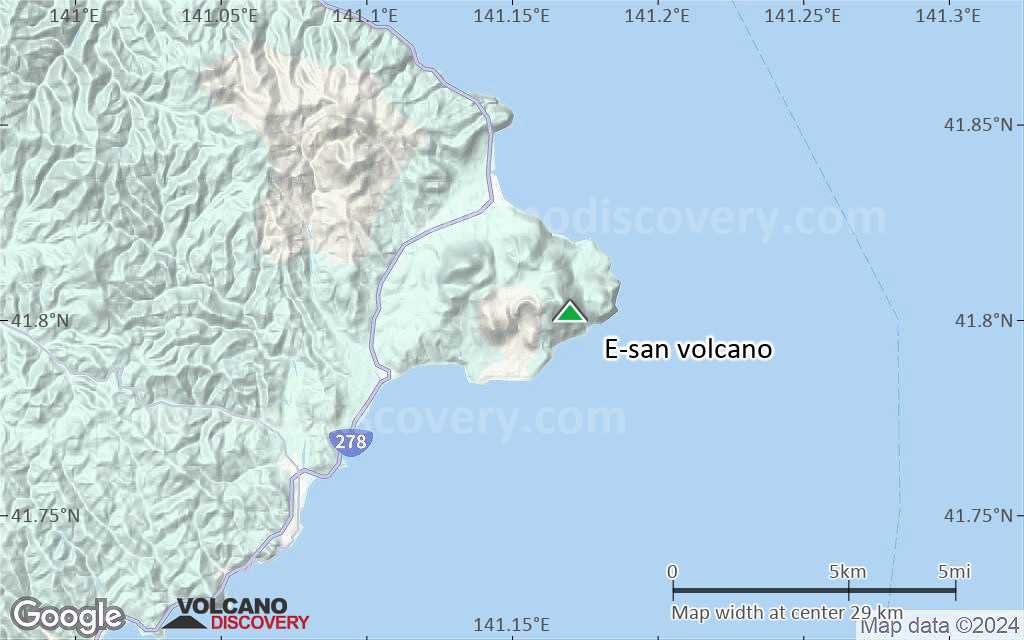
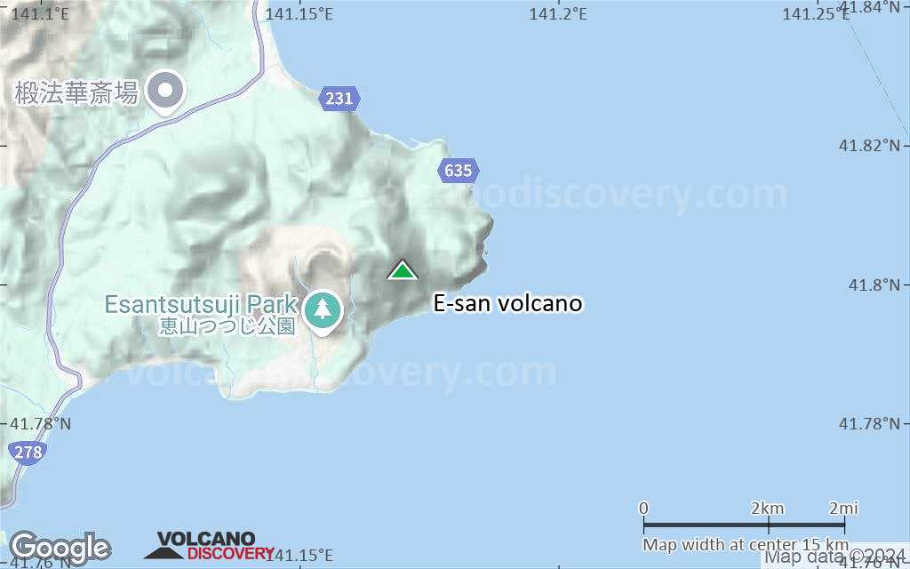
E-san Volcano Maps