| RSS | EN | DE | EL | ES | FR | IT | RU

Goodenough Volcano

Updated: Apr 30, 2025 22:40 GMT -
volcanic field
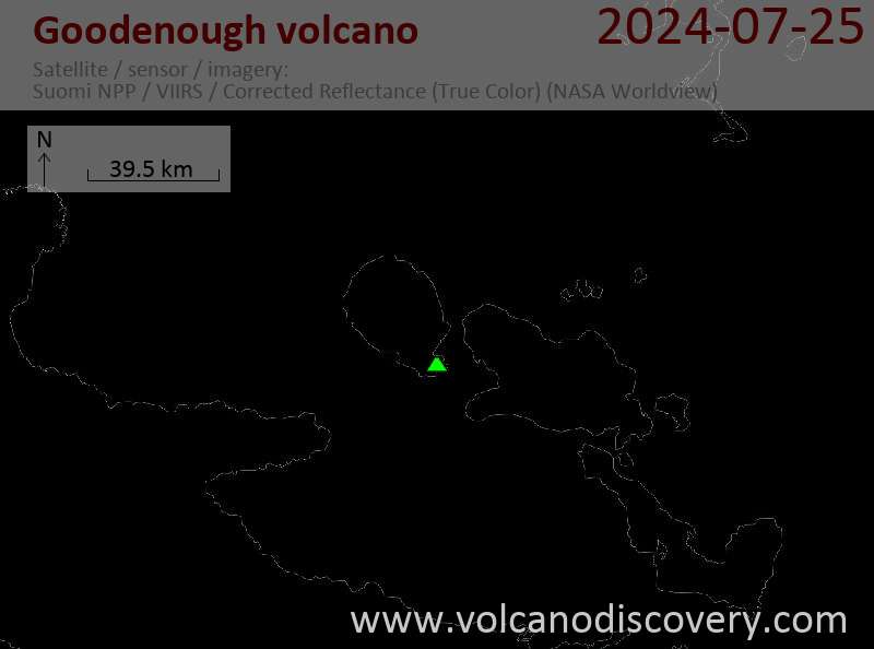
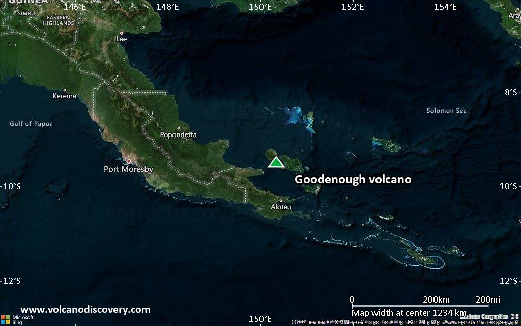
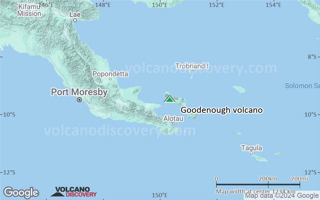
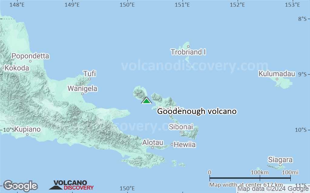
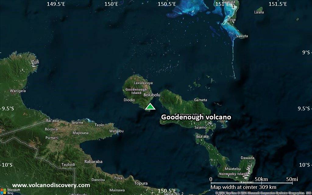
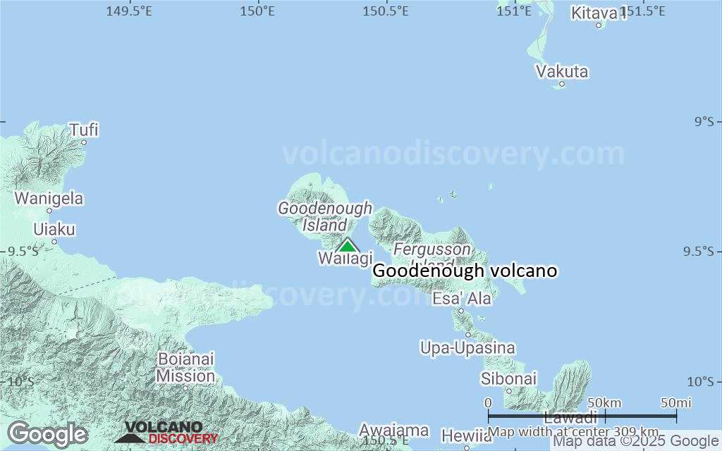
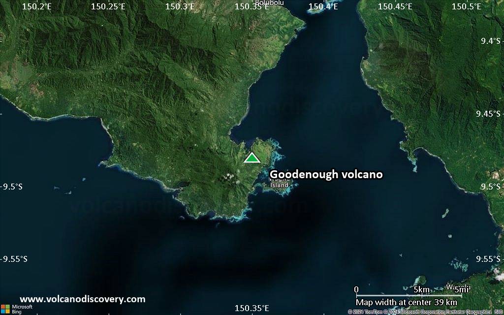
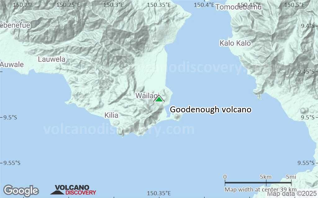
D'Entrecasteaux Islands (Papua New Guinea), -9.48°S / 150.35°E
Summit height: 220 m / 722 ft
Current status: normal or dormant (1 out of 5)

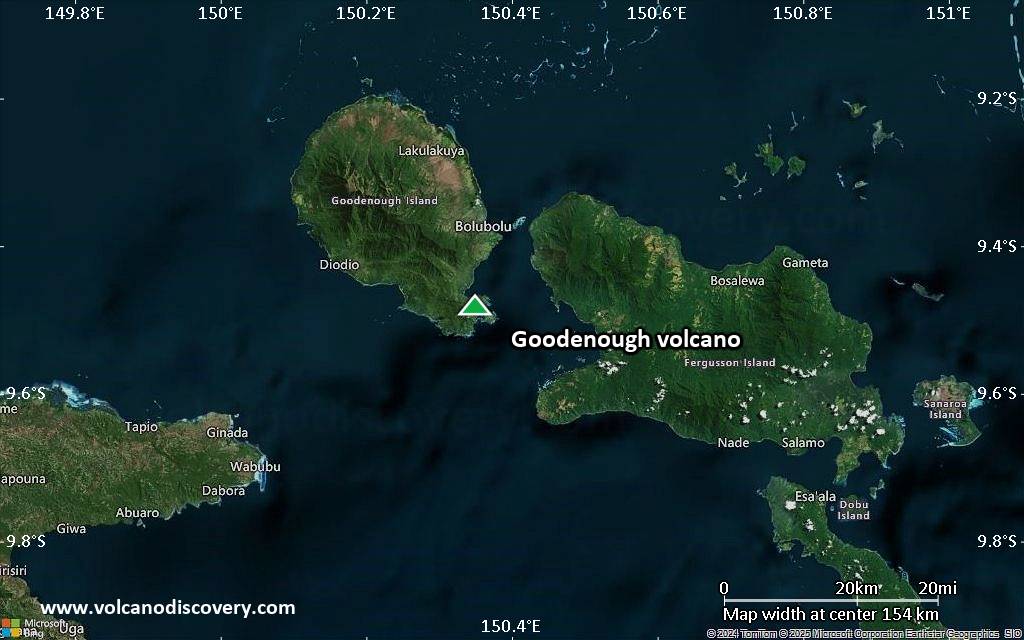
Goodenough (Nidula) Island is a roughly circular volcanic island with 26 km diameter and the westernmost of the D'Entrecasteaux Islands off the NE end of New Guinea. Goodenough volcano contains several young basaltic-andesite and andesitic eruptive centers which may only be a few hundred years old.
At present, there are thermal areas and hot springs in several areas, including 1.5 km north-west of Nou Nou, south-west of Wakala Hill, on the coast east of Bolu Bolu, and 3 km north of Bolu Bolu.
Goodenough Island with its very steep cliffs might be one of the steepest islands in the world.

[smaller] [larger]
Typical eruption style: effusive, lava dome building
Goodenough volcano eruptions: unknown

Latest nearby earthquakes

Date and TimeMag / DepthDistance / Location

Background

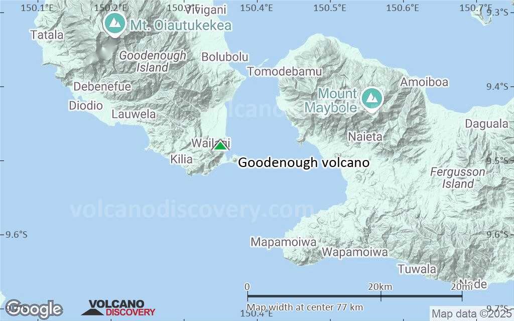
The volcanic centers of Goodenough Island are located around the margins of fault-bounded metamorphic rocks that form the central part of Goodenough Island. They can be roughly divided into a younger southeastern and an older northern area.

Southeastern Goodenough Island
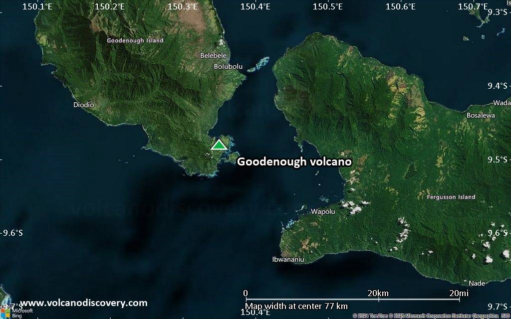
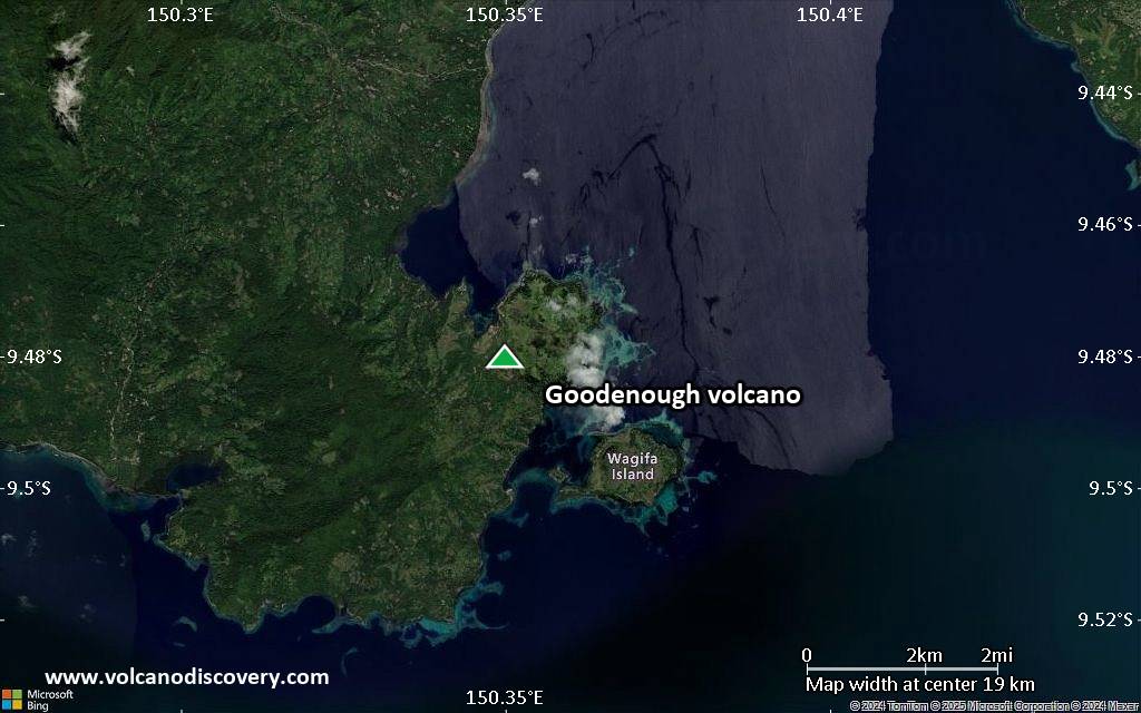
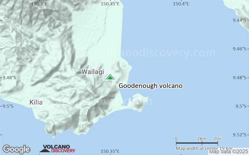
The volcanic vents of southeastern Goodenough Island cover an area of about 30 km2 and extend from Gunawala Creek in the north to the Kilia coast in the south-west and Wagipa Island in the south-east. The youngest volcanic featuresa are 4 cones, inlcuding the Walilagi Cones, are located at the SE end of the island. These well-developed cinder cones with associated blocky lava flows on the northern and eastern flanks of the Bwaido Peninsula have probably erupted within the past few hundred years.

Northern Goodenough Island
Mount Oiava'ai is a 450 m high and 1.5 km wide lava dome on the northern alluvial plain. Wataluma Hill is the highest of a group of rounded cones rising above the plain in the NE of Goodenough Island. The small Nuamata Island off the north coast of Goodenough Island is a lava dome that erupted olivine-bearing andesite. A lava flow dipping 55 deg to the west is a prominent feature.

Sources:
- Smithsonian / GVP volcano information
- Smith I E M (1981) "Young volcanoes in eastern Papua", Geol Surv Papua New Guinea Mem, 10, pp 257-265
- Cooke R J S, Johnson R W (1978) "Volcanoes and volcanology in Papua New Guinea", Geol Surv Papua New Guinea Rpt, 78/2: pp 1-46

Latest satellite images

Goodenough satellite image sat1Goodenough satellite image sat2

Goodenough Volcano Maps

Below is a selection of maps showing the location and surroundings of the volcano at various resolutions based on aerial-imagery / terrain maps. Feel free to use them for non-commercial purposes on your blog or website as long as you credit them with a link back to this page (click to copy it).
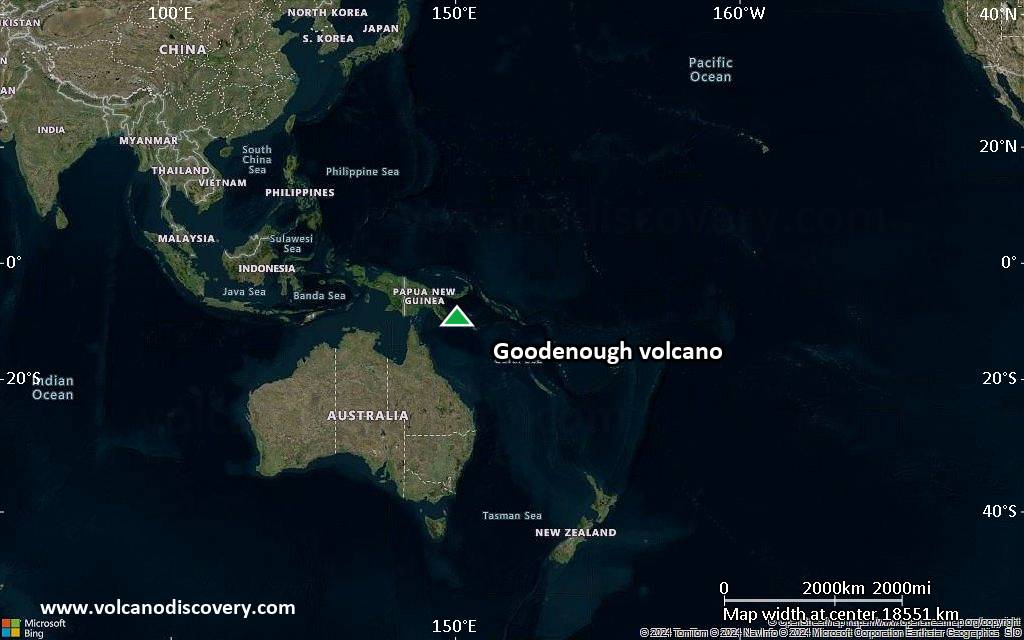
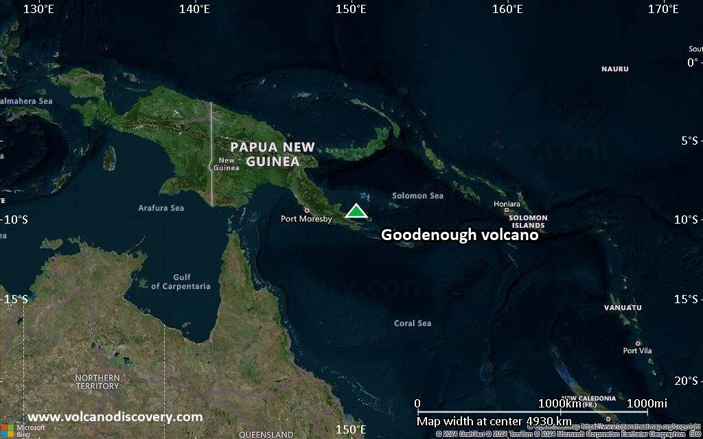
Satellite/aerial-type map of Goodenough volcano (world scale)
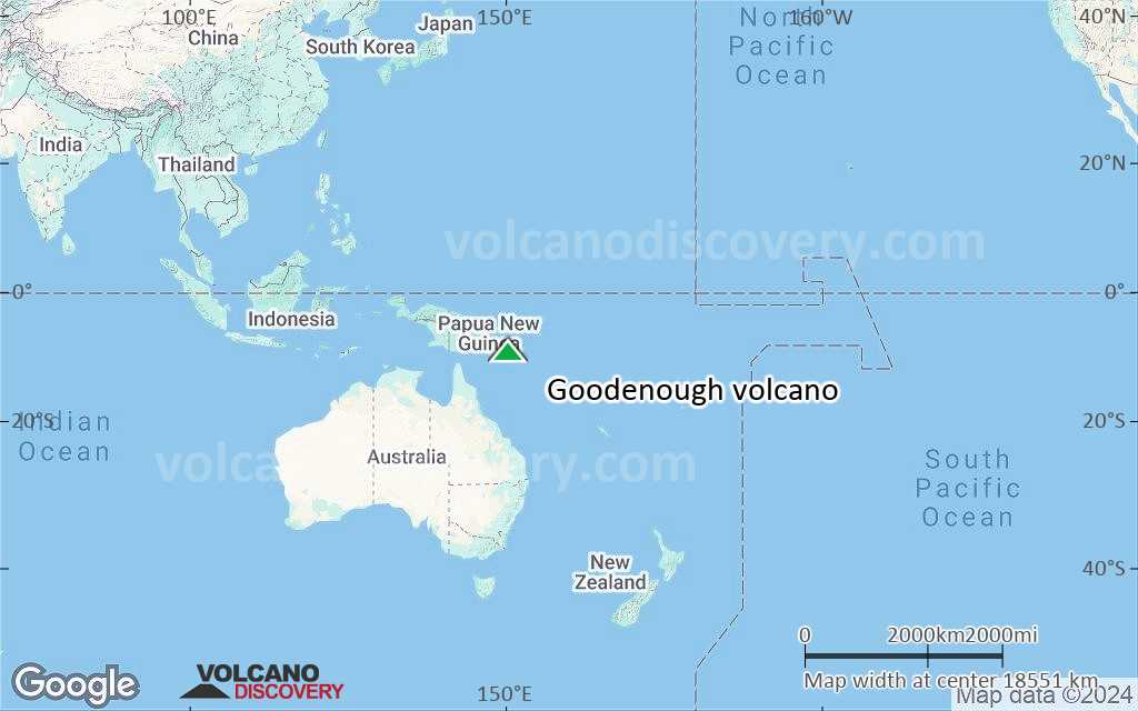
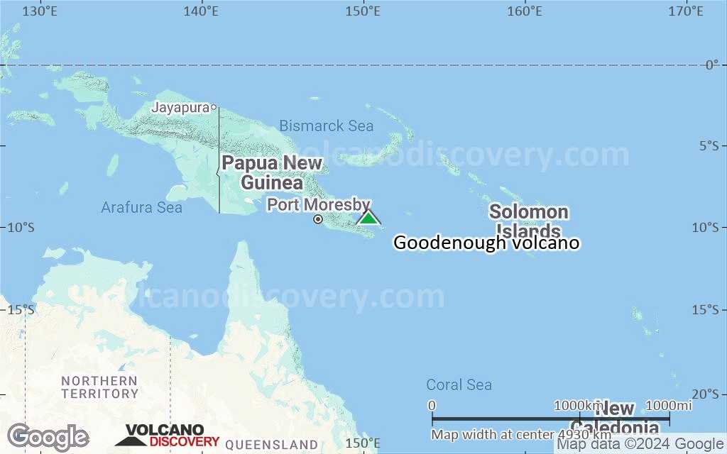
Terrain-type map of Goodenough volcano (world scale)
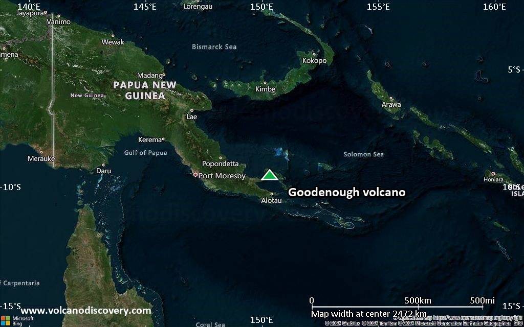
Satellite/aerial-type map of Goodenough volcano (region scale large)
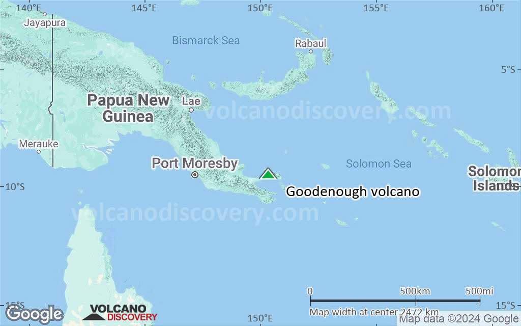
Terrain-type map of Goodenough volcano (region scale large)
Satellite/aerial-type map of Goodenough volcano (region scale medium)
Terrain-type map of Goodenough volcano (region scale medium)
Satellite/aerial-type map of Goodenough volcano (region scale small)
Terrain-type map of Goodenough volcano (region scale small)
Satellite/aerial-type map of Goodenough volcano (local scale large)
Terrain-type map of Goodenough volcano (local scale large)
Satellite/aerial-type map of Goodenough volcano (local scale medium)
Terrain-type map of Goodenough volcano (local scale medium)
Satellite/aerial-type map of Goodenough volcano (local scale small)
Terrain-type map of Goodenough volcano (local scale small)
Satellite/aerial-type map of Goodenough volcano (scale of 10s of km)
Terrain-type map of Goodenough volcano (scale of 10s of km)
Satellite/aerial-type map of Goodenough volcano (scale of 20-40 km)
Terrain-type map of Goodenough volcano (scale of 20-40 km)
Satellite/aerial-type map of Goodenough volcano (scale of approx. 10-20 km)
Terrain-type map of Goodenough volcano (scale of approx. 10-20 km)
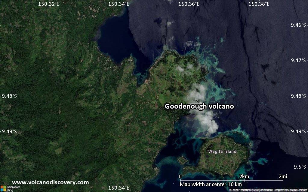
Satellite/aerial-type map of Goodenough volcano (scale of 5-10 km)
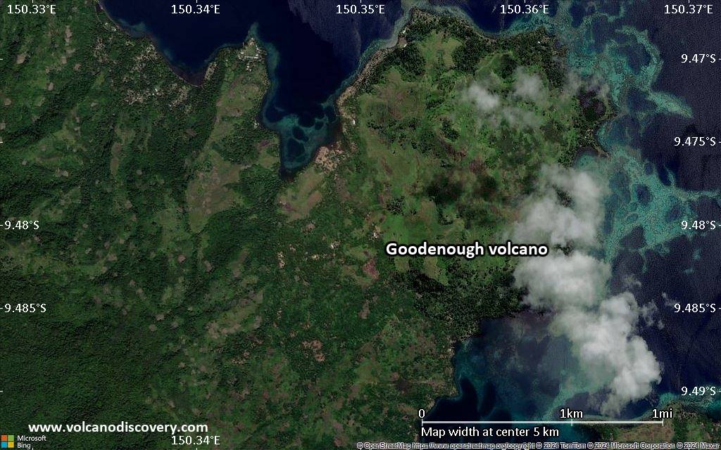
Satellite/aerial-type map of Goodenough volcano (scale of few kilometers)
Volcanoes & Earthquakes - new app for Android
Guaranteed tours
9-25 Jun 2025: Volcanoes and Spices - Sulawesi/Halmahera (Indonesia)
7-22 Jul 2025: From Krakatau to Bali - Java (Indonesia)
7-23 Jul 2025: Volcanoes and Spices - Sulawesi/Halmahera (Indonesia)
1-17 Aug 2025: Volcanoes and Spices - Sulawesi/Halmahera (Indonesia)
1-14 Oct 2025: Desert, salt and volcanoes - Danakil desert (Ethiopia)
4-12 Oct 2025: From Stromboli to Etna - Sicily and Eolian Islands (Italy)
6-21 Oct 2025: From Krakatau to Bali - Java (Indonesia)
3-19 Nov 2025: Volcanoes and Spices - Sulawesi/Halmahera (Indonesia)
= spaces available   = guaranteed   = few spaces left   = booked out

No news in this list.

On this page:

Try our free app!
Volcanoes & Earthquakes - new app for Android
Android | iOS version

More on VolcanoDiscovery

Why is there advertising on this site?

Support us - Help us upgrade our services!

We truly love working to bring you the latest volcano and earthquake data from around the world. Maintaining our website and our free apps does require, however, considerable time and resources.
We need financing to increase hard- and software capacity as well as support our editor team. We're aiming to achieve uninterrupted service wherever an earthquake or volcano eruption unfolds, and your donations can make it happen! Every donation will be highly appreciated. If you find the information useful and would like to support our team in integrating further features, write great content, and in upgrading our soft- and hardware, please make a donation (PayPal).

Planned features:Thanks to your past donations, these features have been added recently:
Download and Upgrade the Volcanoes & Earthquakes app to get one of the fastest seismic and volcano alerts online:
Android | IOS
Thank you!
Sources: VolcanoDiscovery / VolcanoAdventures and other sources as noted.
Use of material: Most text and images on our websites are owned by us. Re-use is generally not permitted without authorization. Contact us for licensing rights.
Volcanoes & Earthquakes
VolcanoDiscovery Home
Volcanoes | Earthquakes | Photos | Volcano News | | Shop | App
Adventure & Study Travel
Tours to Volcanoes and Volcanic Areas: walking tours, photo tours, study tours
Tours & Dates | FAQ | About us
Get our newsletter!
Company info
Contact | Legal info | Terms & conditions
Follow us
Follow us on facebook Follow us on Instagram Follow us on Bluesky Follow us on Twitter Visit our Youtube channel
EN | DE | EL | ES | FR | IT | RU
VolcanoDiscovery GmbH, Germany, Reg. nr.: HRB 103744, EU Tax Id: DE 297 465 123 owned and created by
Dr. Tom Pfeiffer, volcanologist, volcano photographer, tour organizer member of
IAVCEI
IAVCEI
Vulkanologische Gesellschaft
Volcanological Society
Ecotourism Greece
Ecotourism Greece
RUV insurance
Insured by R+V
VolcanoDiscovery © 2004- All Rights Reserved | Privacy - Cookie Settings