


Gufa Volcano
Updated: Nov 25, 2025 06:34 GMT -
Volcanic field
Eritrea/Djibouti, 12.55°N / 42.53°E 
Summit height: 600+ m / 1,968 ft
Current status: normal or dormant (1 out of 5)
[smaller] [larger]
Gufa volcano eruptions: unknown, no recent eruptions
Latest nearby earthquakes
| Date and Time | Mag / Depth | Distance / Location | |||
|---|---|---|---|---|---|
Background
The Gufa volcanic field, located along the Eritrea/Djibouti border, consists of a group of basaltic scoria cones and lava flows aligned in an E-W direction NE of the large Mousa Alli stratovolcano. A second E-W-trending chain of cones is located to the north of the principal chain, most of which lies in Eritrea, and fed long lava flows that descend to the north, in the direction of the Red Sea.---
Smithsonian / GVP volcano information
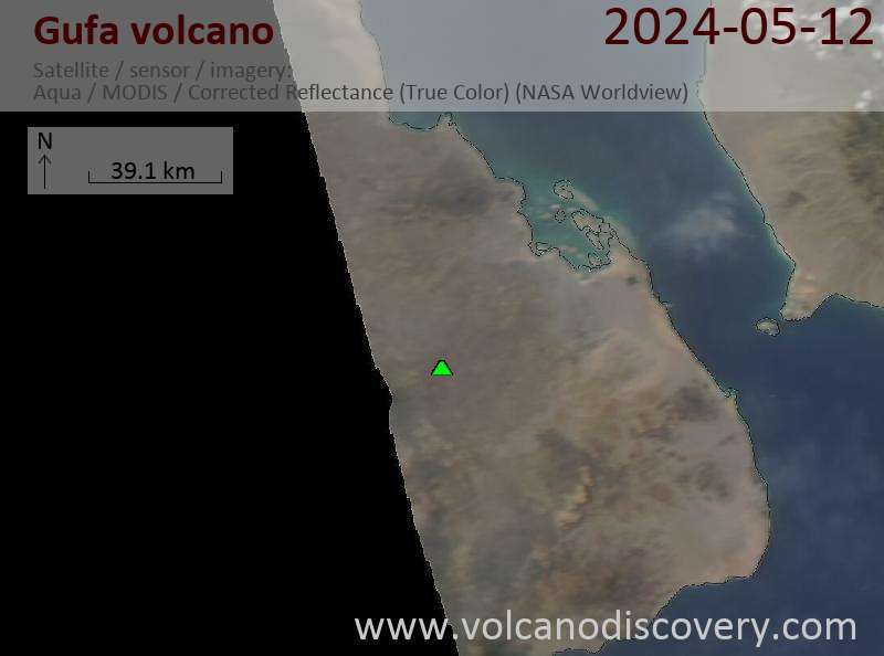
Latest satellite images
Gufa Volcano Maps
Below is a selection of maps showing the location and surroundings of the volcano at various resolutions based on aerial-imagery / terrain maps. Feel free to use them for non-commercial purposes on your blog or website as long as you credit them with a link back to this page (click to copy it).

Satellite/aerial-type map of Gufa volcano (world scale)

Terrain-type map of Gufa volcano (world scale)

Satellite/aerial-type map of Gufa volcano (region scale large)

Terrain-type map of Gufa volcano (region scale large)

Satellite/aerial-type map of Gufa volcano (region scale medium)

Terrain-type map of Gufa volcano (region scale medium)

Satellite/aerial-type map of Gufa volcano (region scale small)

Terrain-type map of Gufa volcano (region scale small)

Satellite/aerial-type map of Gufa volcano (local scale large)

Terrain-type map of Gufa volcano (local scale large)

Satellite/aerial-type map of Gufa volcano (local scale medium)

Terrain-type map of Gufa volcano (local scale medium)

Satellite/aerial-type map of Gufa volcano (local scale small)

Terrain-type map of Gufa volcano (local scale small)

Satellite/aerial-type map of Gufa volcano (scale of 10s of km)

Terrain-type map of Gufa volcano (scale of 10s of km)

Satellite/aerial-type map of Gufa volcano (scale of 20-40 km)

Terrain-type map of Gufa volcano (scale of 20-40 km)

Satellite/aerial-type map of Gufa volcano (scale of approx. 10-20 km)

Terrain-type map of Gufa volcano (scale of approx. 10-20 km)

Satellite/aerial-type map of Gufa volcano (scale of 5-10 km)

Satellite/aerial-type map of Gufa volcano (scale of few kilometers)


