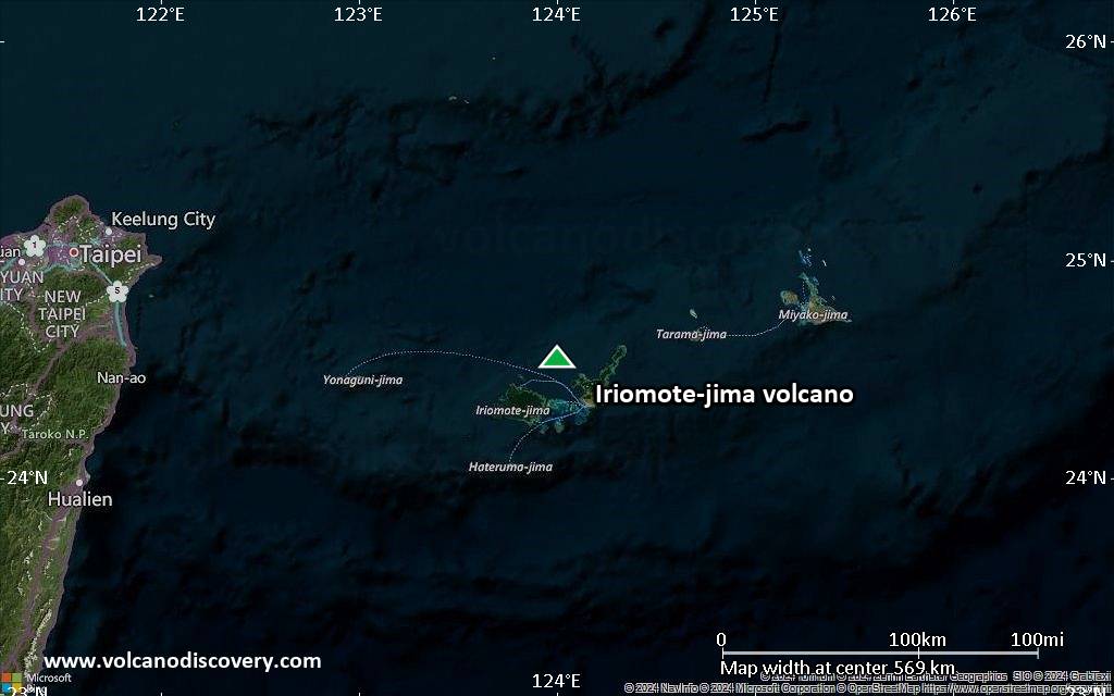
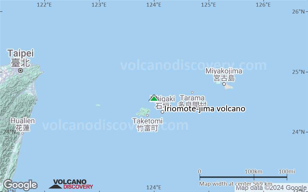
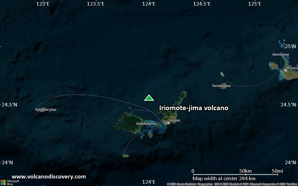
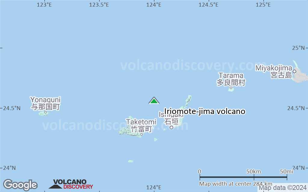
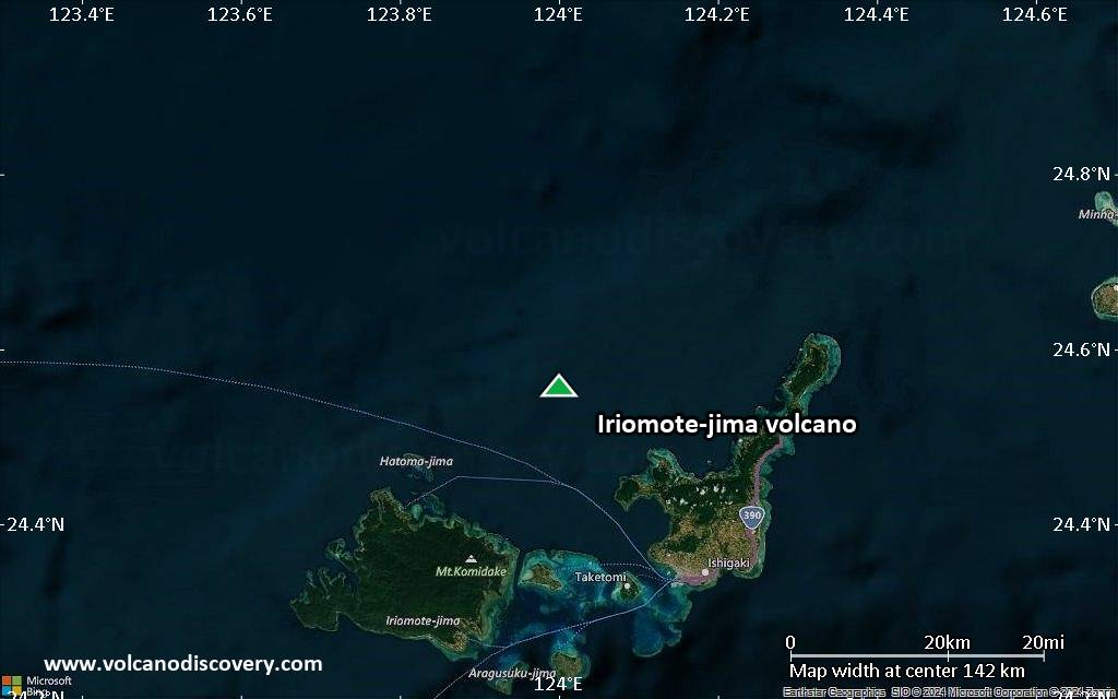
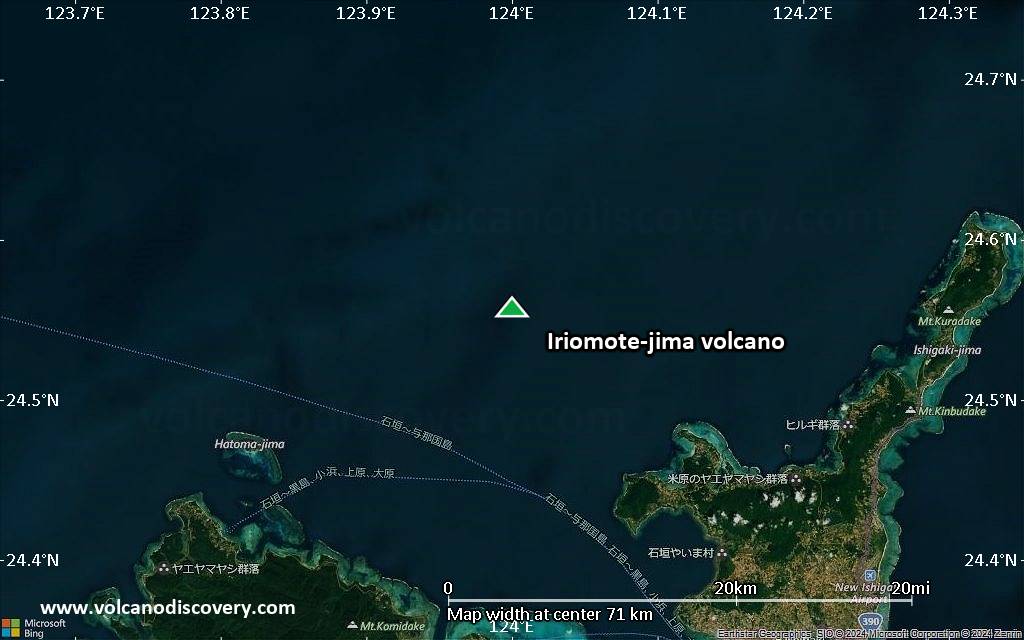
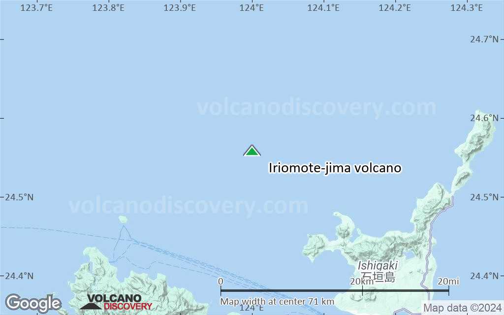
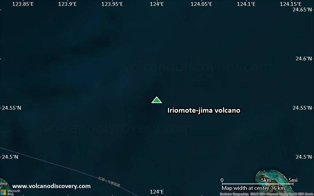
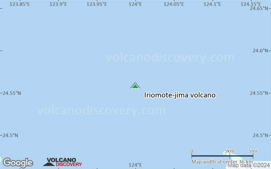
Iriomote-jima Volcano
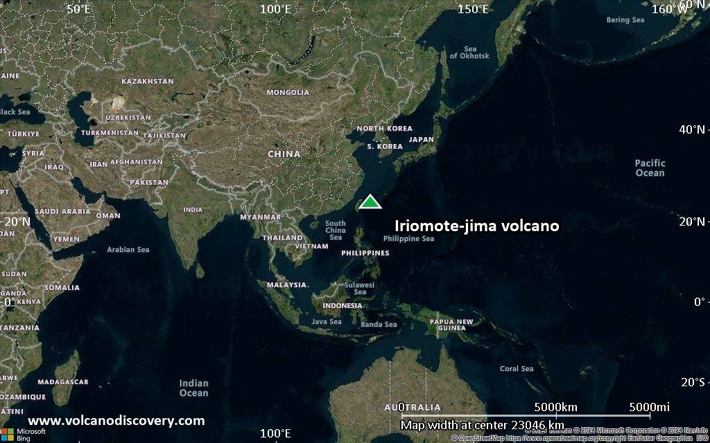
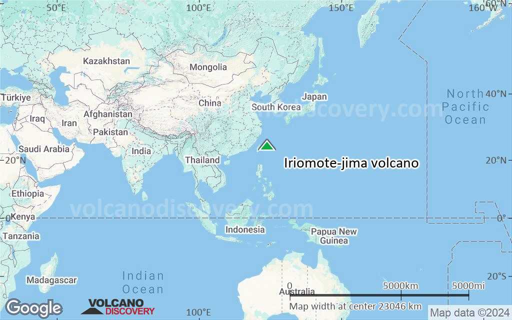
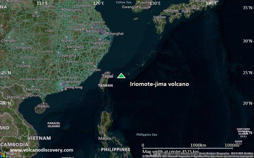
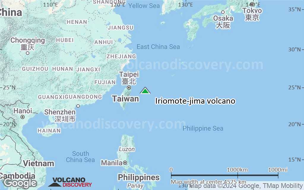
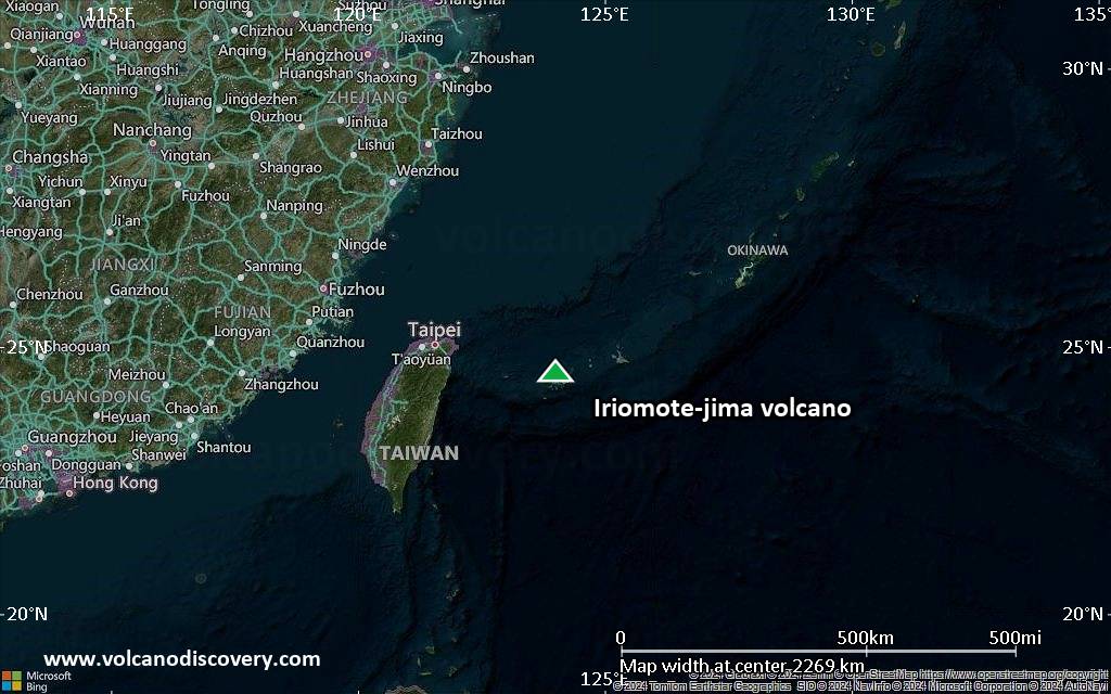
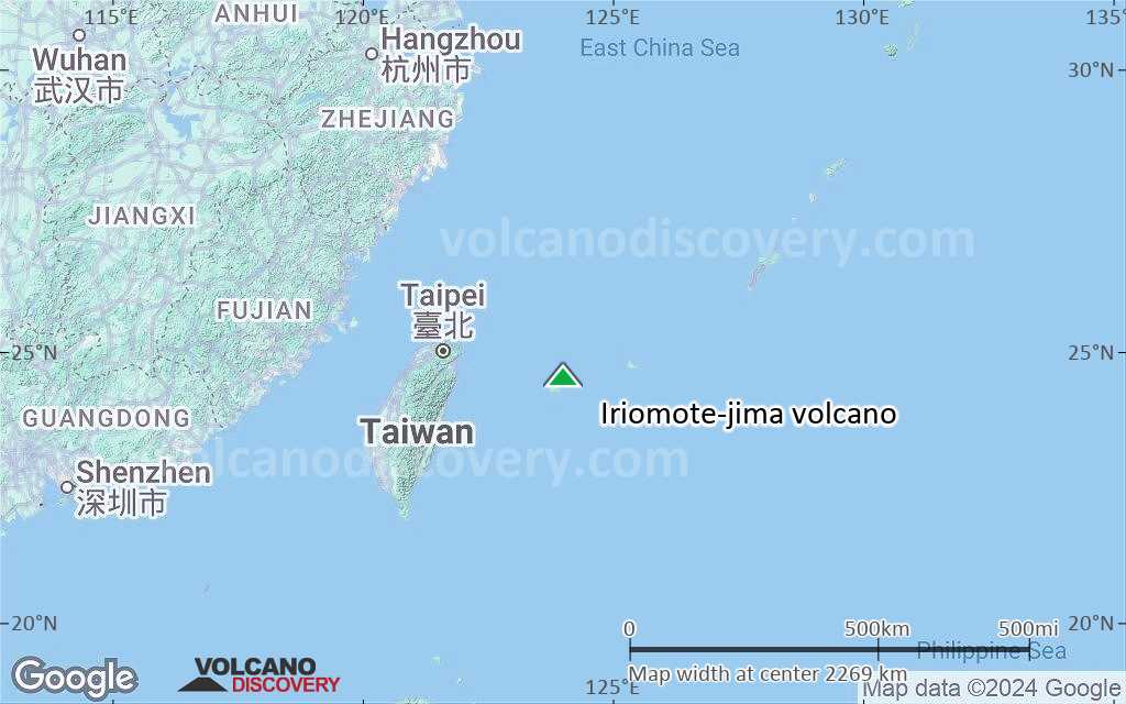
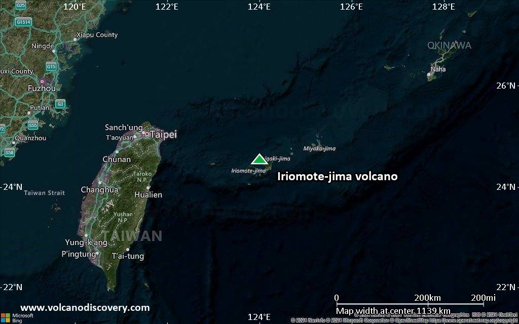
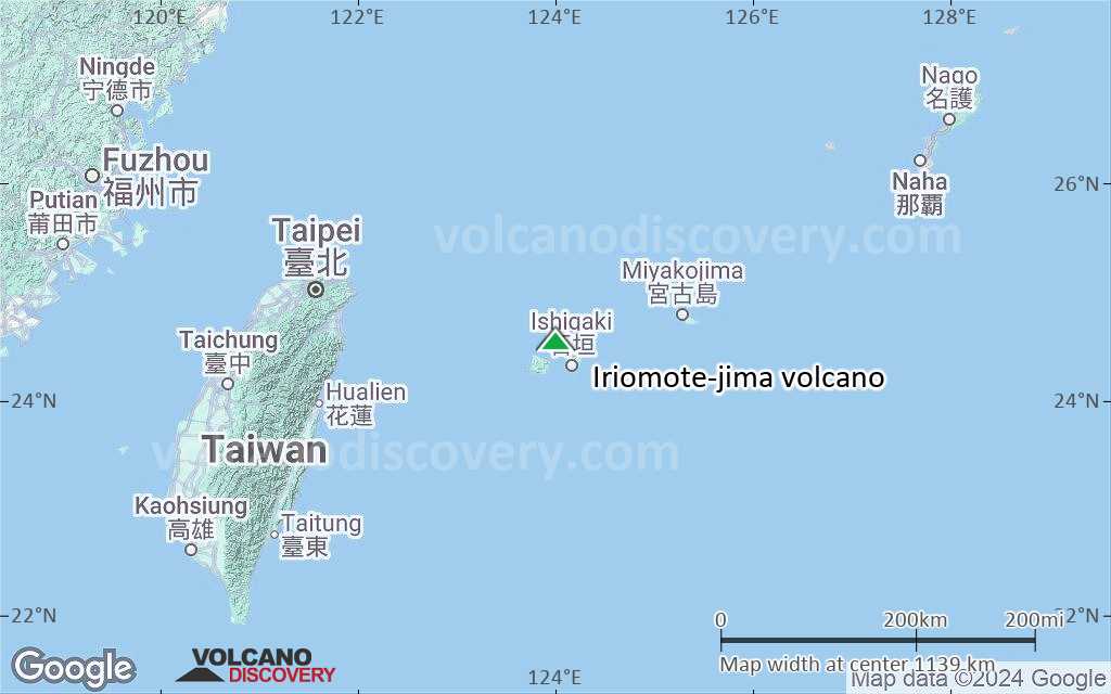
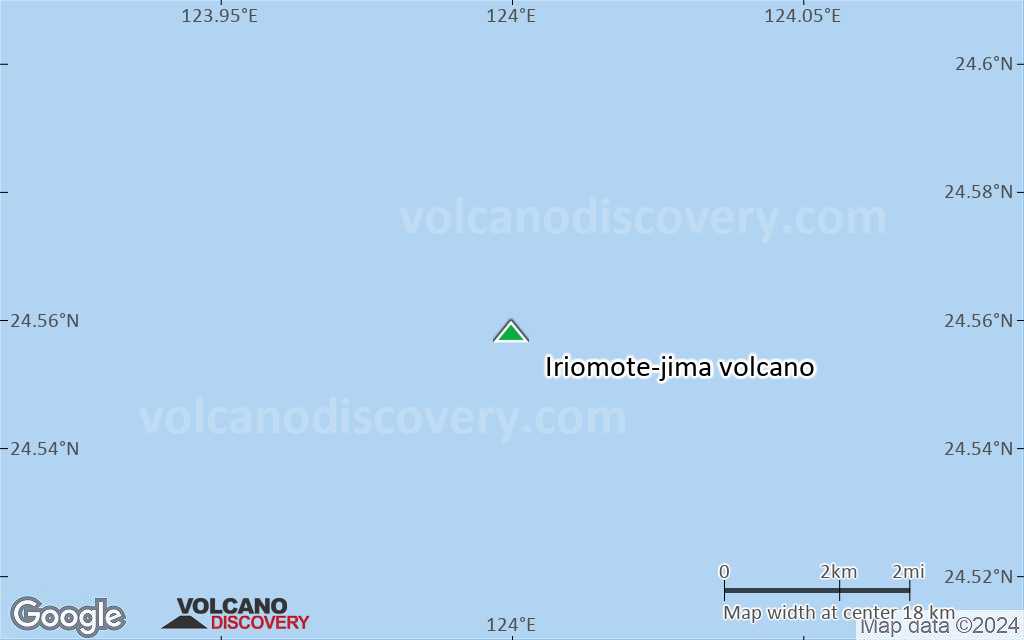
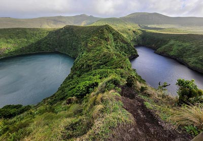
Iriomote-jima volcano is a shallow submarine volcano 25 km NNE of the island of the same name.
Iriomote-jima island is the southernmost in the chain of the Ryuku Islands which still belong to Japan. It is located almost 1000 km SSW of Japan's main island Honshu and only 200 km east of Taiwan.
Iriomote-jima volcano eruptions: 1924: large explosive submarine eruption
Latest nearby earthquakes
| Date and Time | Mag / Depth | Distance / Location | |||
|---|---|---|---|---|---|
| Aug 1, 08:18 am (GMT +9) | 1.0 13 km | 28 km (17 mi) to the E | Info | ||
| Wednesday, July 30, 2025 GMT (1 quake) | |||||
| Jul 31, 01:25 am (GMT +9) | 1.1 16 km | 24 km (15 mi) to the S | Info | ||
| Sunday, July 27, 2025 GMT (1 quake) | |||||
| Jul 28, 04:13 am (GMT +9) | 0.5 18 km | 16 km (10.2 mi) to the NE | Info | ||
Background
Iriomote-jima volcano lies in an area with an estimated depth of 200-300 m. A major submarine eruption took place at this volcano on 31 October 31 1924. It was one of the largest historical eruptions in Japan. The eruption produced about 1 cubic kilometer of rhyolitic pumice, which formed large rafts on the sea, which were drifted by currents as far as Hokkaido in the north, about 2000 km distance. The largest pumice blocks exceeded 1 x 2 m in size.Significant volcanic eruptions: Iriomote-jima volcano
| Date | Note | VEI | Deaths | Damage | |
|---|---|---|---|---|---|
Historical obs./docs. | 4? | ||||
Iriomote-jima Volcano FAQ
+When was the last eruption of Iriomote-jima volcano?
The last confirmed eruption of Iriomote-jima occurred in 1924.
+How often does Iriomote-jima volcano erupt?
Since 1924, Iriomote-jima volcano has had at least 1 historically documented eruptions. This means that it erupts on average every 101 years.
+How active is Iriomote-jima volcano at present?
Iriomote-jima volcano is occasionally active: Since 1900, it has had one eruption, which occurred in 1924.
+When was the largest eruption of Iriomote-jima volcano?
The largest eruption of Iriomote-jima volcano in historic times occurred in 1924. It ranks as a sub-plinian eruption with a magnitude 4 on the VEI (Volcanic Explosivity Index) scale.
Latest satellite images
Iriomote-jima Volcano Maps