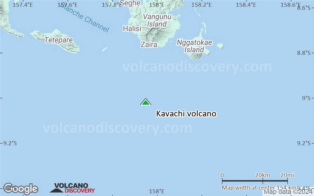
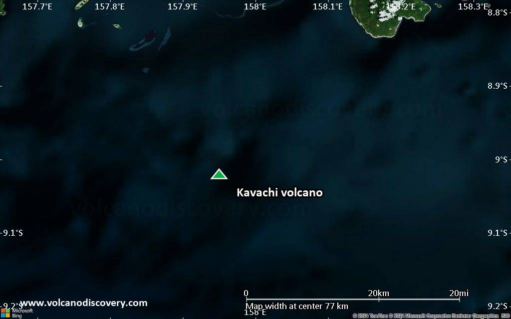
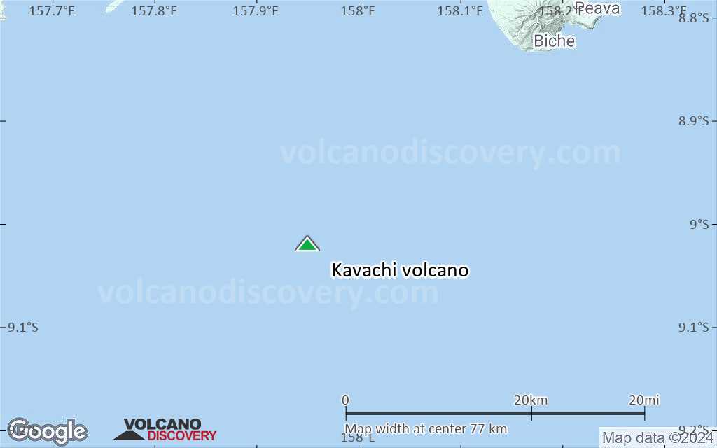
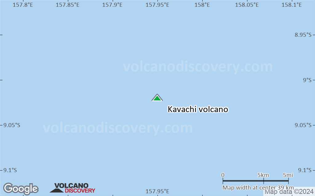
Kavachi Volcano
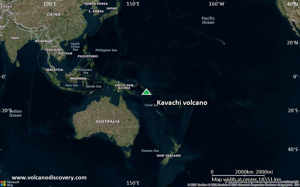
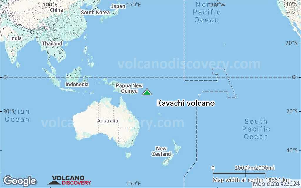
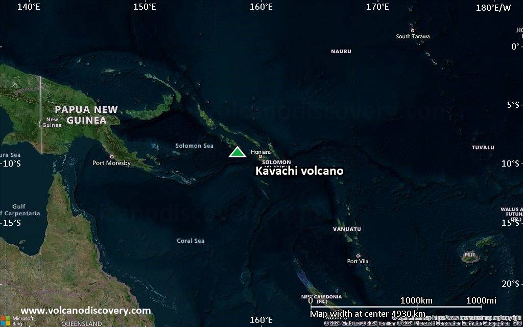
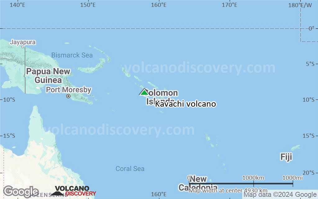
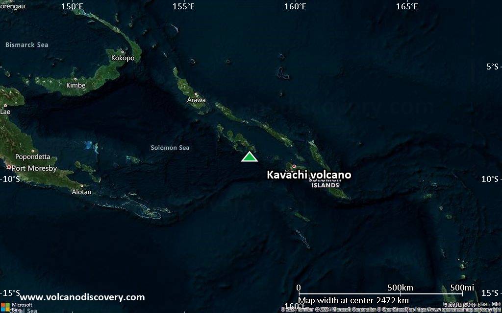
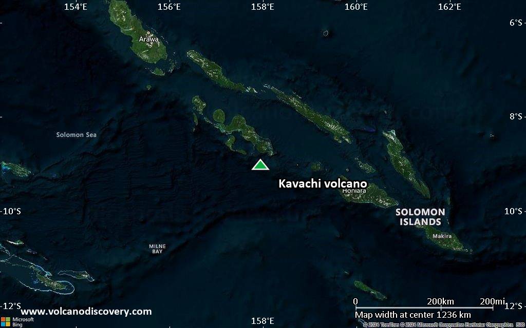
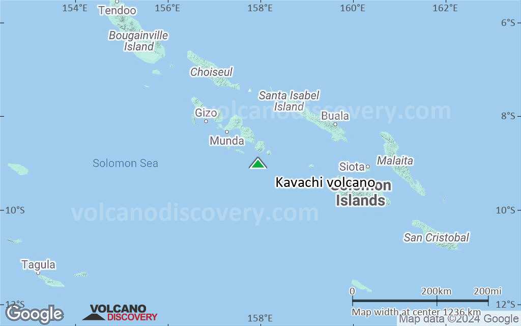
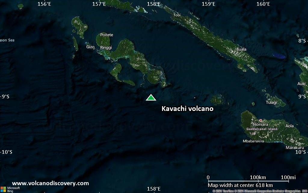
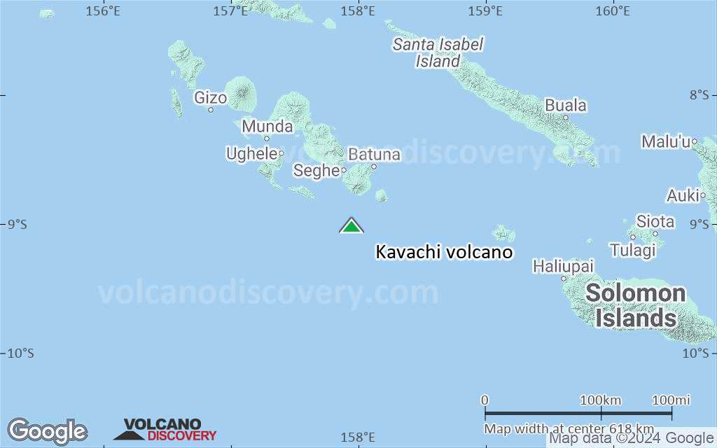
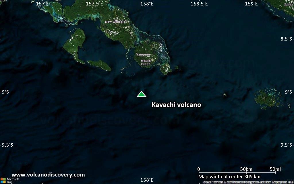
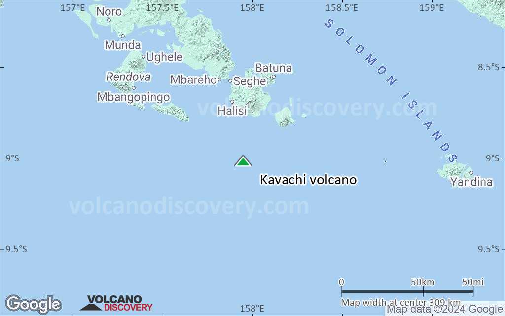
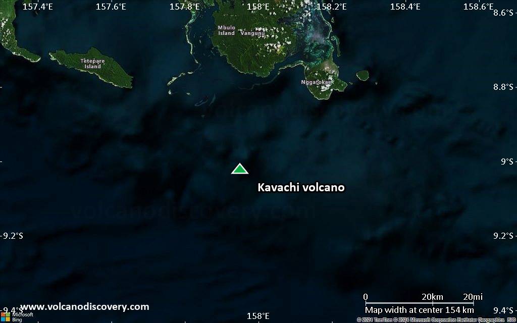
Kavachi volcano is a shallow submarine volcano located south of the remote Vangunu Island in the Solomones. It is als known as Rejo te Kvachi, "Kavachi's Oven", and one of the most active of the Pacific with near surface eruptions every few years that often build temporary islands.
New islands were formed at least 9 times since its first recorded eruption during 1939. The new islands formed were not large enough and coated with solid lava flows to be able to resist wave erosion. They were submerged again after a few months after each eruption.
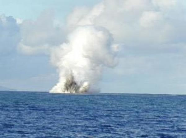
The frequent shallow submarine eruptions that sometimes breach the surface produce surtseyan activity, magma-water explosions that eject jets of steam, ash, and incandescent bombs above the sea surface. On some occasions during such eruptions, the vent was sealed sufficiently to produce liquid lava spattering and lava flows on the temporary islands.
Kavachi volcano eruptions: 2014, 2007, 2004, 1999-2003, 1999 (Feb-May), 1998 (?), 1997, 1991, 1986, 1985, 1982, 1981 (Sep) (?), 1980-81, 1978, 1977 (Jul), 1977 (Feb), 1976, 1975, 1974, 1972, 1969-70, 1966, 1965, 1963-64, 1962, 1961, 1958, 1957, 1952-53, 1951, 1950, 1942, 1939
Latest nearby earthquakes
| Date and Time | Mag / Depth | Distance / Location | |||
|---|---|---|---|---|---|
Background
Kavachi volcano is only about 30 km north of the subduction of the Indo-Australian plate beneath the Pacific plate and close to a regional spreading center.The volcano has produced mainly basaltic-to-andesitic eruptions. It often formed new islands up to 1 km long. Residents of the nearby islands of Vanguna and Nggatokae (Gatokae) reported "fire on the water" prior to 1939, which suggests that earlier eruptions had breached the surface as well.
Kavachi is roughly conical and rises from a depth of 1.1-1.2 km on the north and greater depths to the south.
Significant volcanic eruptions: Kavachi volcano
| Date | Note | VEI | Deaths | Damage | |
|---|---|---|---|---|---|
Historical obs./docs. | ? | ||||
?? | Uncertain Eruption Historical obs./docs. | ? | |||
Historical obs./docs. | ? | ||||
| Submarine Historical obs./docs. | 1 | ||||
Historical obs./docs. | 1 | ||||
Historical obs./docs. | 1 | ||||
Historical obs./docs. | 1 | ||||
Historical obs./docs. | 1 | ||||
?? | Uncertain Eruption | 0 | |||
Historical obs./docs. | 1 | ||||
Historical obs./docs. | 2 | ||||
Historical obs./docs. | 1 | ||||
Historical obs./docs. | 1 | ||||
Historical obs./docs. | 2 | ||||
?? | Uncertain Eruption | 0 | |||
Historical obs./docs. | 1 | ||||
Historical obs./docs. | 2 | ||||
Historical obs./docs. | 1 | ||||
Historical obs./docs. | 1 | ||||
Historical obs./docs. | 1 | ||||
Historical obs./docs. | 1 | ||||
Historical obs./docs. | 1 | ||||
Historical obs./docs. | 0 | ||||
Historical obs./docs. | 2 | ||||
Historical obs./docs. | 2 | ||||
Historical obs./docs. | 2 | ||||
Historical obs./docs. | 2 | ||||
Historical obs./docs. | 2 | ||||
Historical obs./docs. | 2 | ||||
Historical obs./docs. | 0 | ||||
Historical obs./docs. | 0 | ||||
Historical obs./docs. | 2 | ||||
Historical obs./docs. | 2 | ||||
| 1951 (eruption | Tsunami recorded Historical obs./docs. | 2 | Info | ||
Historical obs./docs. | 2 | ||||
Historical obs./docs. | 1 | ||||
Historical obs./docs. | 2 | ||||
Eruptions of Kavachi volcano
On 2 April 2007, the Solomon Islands were struck by a major (8.1 magnitude) earthquake followed by a large tsunami.
The eruption possibly triggered the small eruption of Kavachi volcano observed at the same time. ...more info
After 8 months of slumber, an eruption on 15 March 2004 breached the water surface above Kavachi volcano, producing spectacular roster-tail ash jets caused by explosive magma-water interaction.
Kavachi volcano was active throughout most 2001-2003 and produced a new island in October-November 2002. A particularly intense phase was noted during infrequent visits between August to mid-September 2001 when there were daily explosions that breached the surface. During August ash and volcanic blocks were observed being ejected up to about 400 m above the surface, and at night, lava glow was visible from the coast of Gatokae (Nggatokae) Island 32 km NE of Kavachi.
In January 2002 the summit of Kavachi's summit was at 60 m depth. At the surface, brown muddy bubbly upwelling water as well as sulfur were observed at the surface. A large stain of discolored water extended many kilometers from the vent. My 16 March 2002 the summit had grown to a depth of -34 m. Occasional surtseyan explosions were seen from Gatokae Island.
In October and November 2002 Kavachi formed a new island that reached 10-15 m above sea level. The island was still visible in August 2003, but had disappeared in September, when the summit of the volcano was measured at 32 m below sea level.
Scientist onboard the Australian research ship R/V Franklin observed an eruption of Kavachi on 14 May 2000. The summit of the volcano was at only 2-5 m below the sea surface and there was intense Surtseyan activity with explosions producing rooster-tail jets of ash, steam, blocks and incandescent lava blocks that were thrown up to 70 m height. The ash plume reached about 500 m height.
A Solair pilot reported eruptions of Kavachi volcano on 16-17 January 1997, with ash plumes reaching 2100 m altitude.
On 29 January the sea water near the volcano was discolored and dirty, but no eruptions.
The eruptions of Kavachi volcano in 1991 formed a new temporary island first observed on 45 May during a Western Pacific Air helicopter overflight. The island was 300x150 m wide, 30 m high and contained a lava lake of 50 m diameter in its crater.
The location of the new island was about 3 km NE of Kavachi's summit, placed at 9.00°S, 157.97°E.
On 5 June, a vigorously active lava fountain reaching about 25 m high and producing an ash plume more than 2,500 m height were observed. After a phase of powerful explosions, the eruption ended in late June and the island disappeared quickly.
A new eruption at Kavachi volcano started on 9 December 1985. During an overflight on 31 Dec, ejections of rock, mud and steam to a height of 30 m above the ocean surface were observed. The eruption did not form an island and ended by around 3 March 1986.
A second eruption occurred in July 1986, when explosions up to 60-90 m height were observed, with incandescent lava blocks in the inner parts of the ejections. The July eruption only lasted 2 days.
A new small eruption of Kavachi was observed on 7 October. A mixture of water, steam, and blocks were ejected intermittently to more than 100 m above the ocean surface and the sea water above the vent was slightly discolored.
The eruption continued until after 25 February 1981 and ended sometime before mid September 1981.
On 21 June 1978, a new eruption of Kavachi volcano was discovered. During an overflight, a new 1 meter height island was found that had a flat circular shape and measured 30-50 m diameter. There were occasional weak explosions ejecting ash and scoria, and the perimeter of the island was steaming.
On 14 July 1978, the island N-S elongate island and had a central cone about 30 m high. Strombolian activity occurred from the central vent, ejecting scoria to up to 400 m height. A lava flow was observed running down the S flank. A small secondary vent formed near sea level on the E coast.
By 16 July 1978, when the island could be observed again, the S half of the island, including the central vent, had dropped along an E-W fault. There was a steep scarp that formed the new S edge of the island at its place. Eruptive activity continued with infrequent explosions from the secondary vent on the E coast.
When next observed on 28 July, the eruption had ended. A small rocky island, about 15 m long, 5 m wide and no more than 3 m high remained at the eruption site. The island was expected to be destroyed by wave action within a few days to a few weeks.
Source: Smithsonian / GVP monthly activity updates
A small eruption occurred at Kavachi volcano in July 1977, producing small Surtseyan explosions at about 30 second intervals.
Following 6 years with no known activity, a new eruption of Kavachi was first observed on 24 August 1976. A fountain of water and volcanic ejecta reached 30 m height.
The eruption quickly increased and explosions reached about 60 m on 4 September, when a change of the eruption column from white steam and spray to "smoke" (=ash) was noted. Eruption height on 7 Sep was 90 m, and a cone surfaced 1.5-3 m above sea level later that day and was seen erupting lava. The next day, the cone had grown to 9 m above sea level and measured 40 m across. Liquid lava was seen from its vent and a lava flow poured to the NW. Strombolian activity threw incandescent bombs to 150 m height.
The eruption was weaker on 9 September and the island showed signs of breaking up by wave erosion. The lava flow ended between 9-11 Sep, but explosions continued at intervals between 30 s - 2 minutes.
On 13 October, explosions continued, but the island had disappeared. At the site, the sea was discolored over an area of 100 m. Ejections reached about 30 m height.
The eruption ended probably in late October.
Kavachi Volcano FAQ
+When was the last eruption of Kavachi volcano?
The last confirmed eruption of Kavachi began in 2021 and is continuing (as of September 2025).
+How often does Kavachi volcano erupt?
There are no known historic eruptions, but evidence from geologic records shows that it has had at least 33 eruptions over the past 10,000 years. This number is likely much higher because many past eruptions might not have left evidence recognizeable today and/or the volcano might not have been studied in too much detail. Using the available data, a very conservative estimate is that Kavachi volcano erupts every 303 years.
+How active is Kavachi volcano at present?
Kavachi volcano is very active: Since 1900, it has had 43 eruptions, and been active during 43 years out of 126 as of now. This means, Kavachi has been in eruption one in 2.9 years on average. The latest eruption is still continuing at present.
+When was the largest eruption of Kavachi volcano?
The largest eruption of Kavachi volcano in historic times occurred in 1991. It ranks as a strombolian to vulcanian eruption with a magnitude 2 on the VEI (Volcanic Explosivity Index) scale.
Latest satellite images

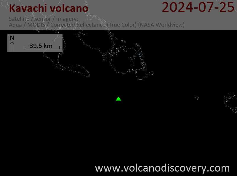
Kavachi Volcano Maps