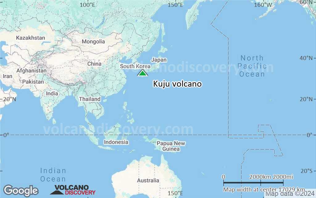
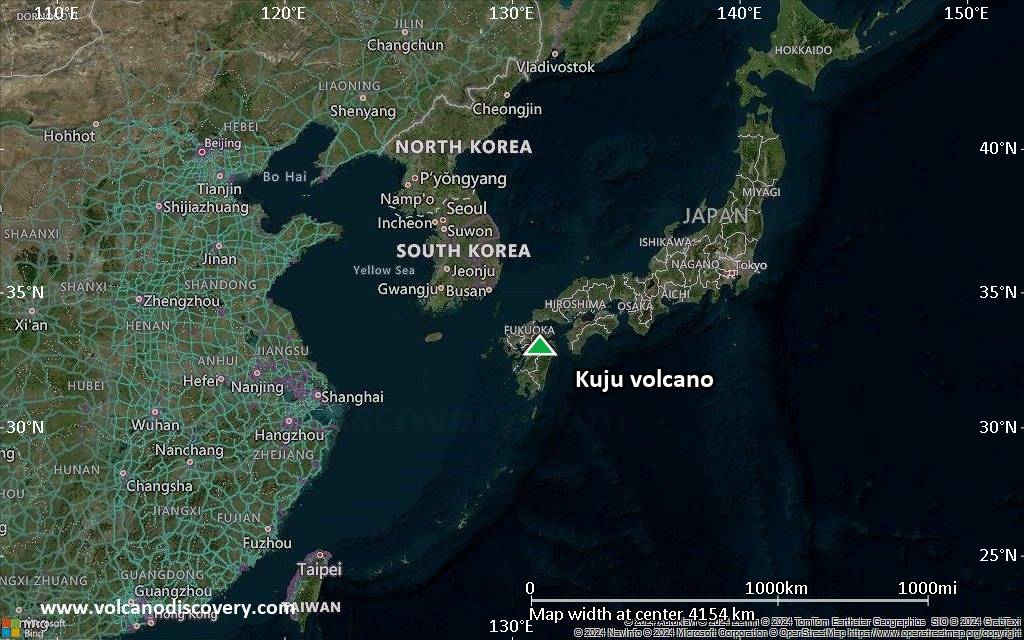
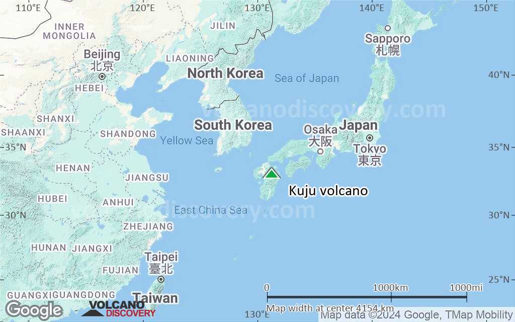
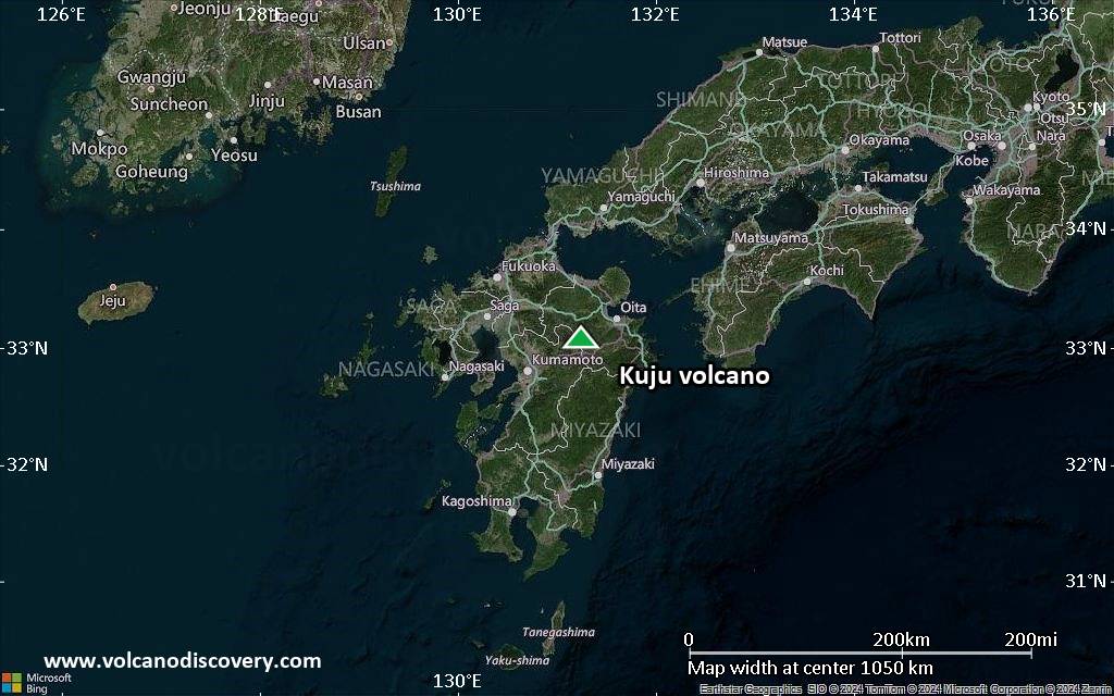
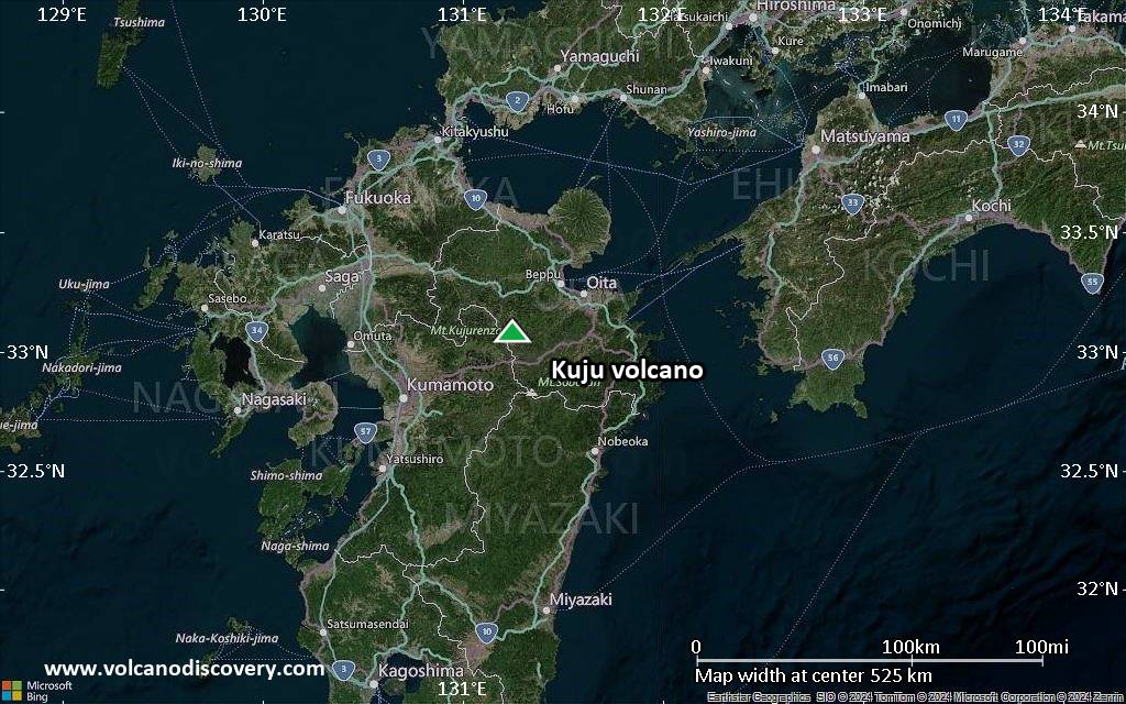
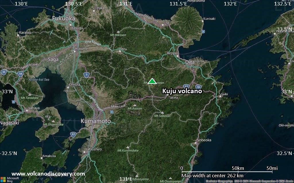
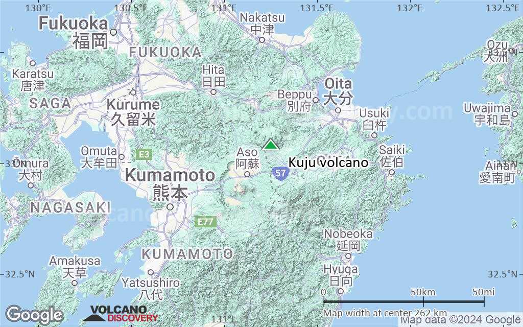
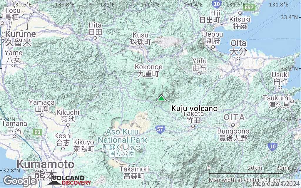
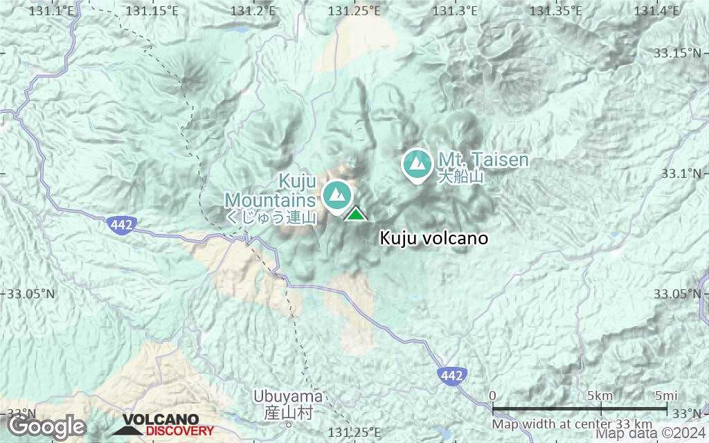
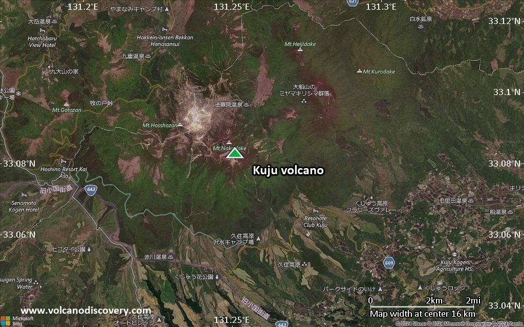
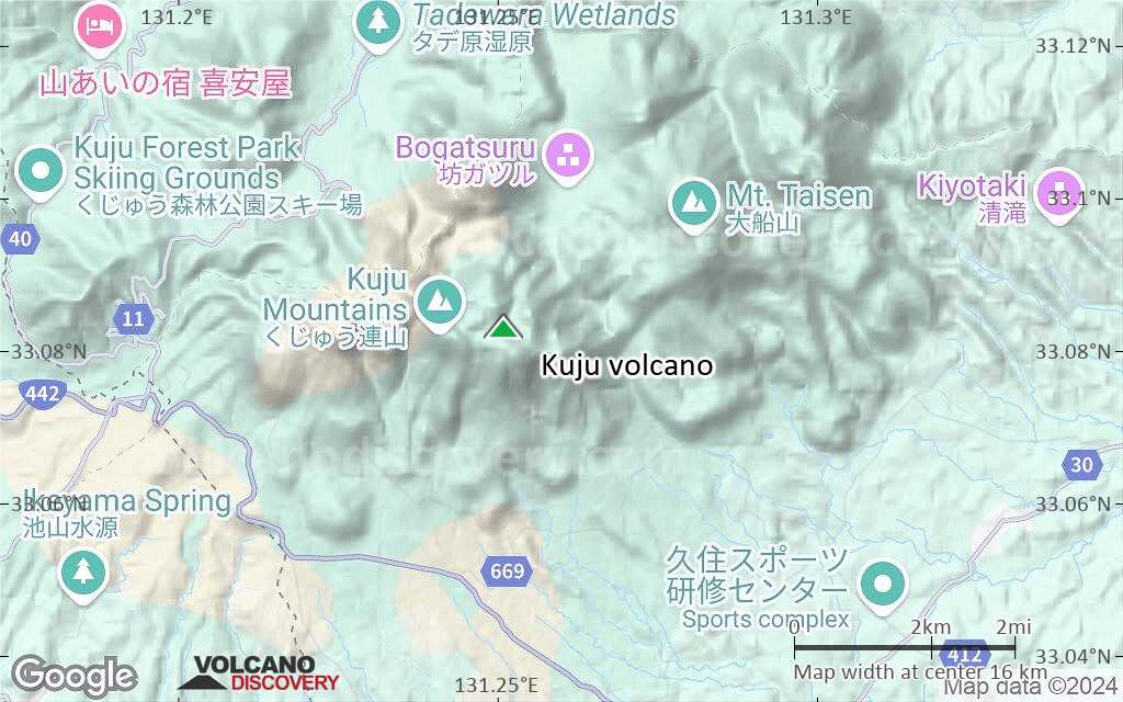
Kuju Volcano
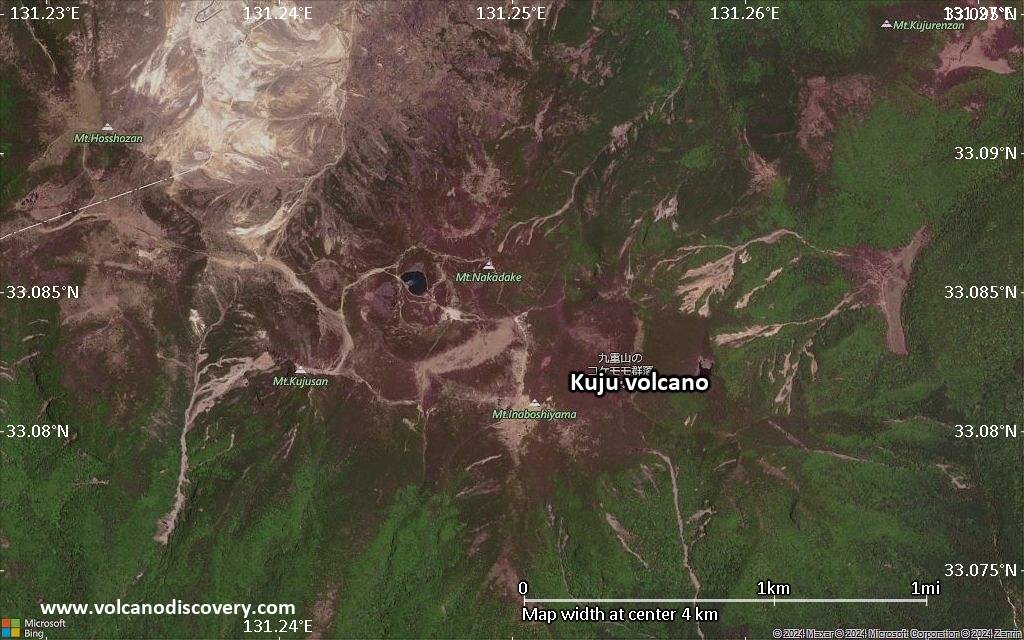
Kuju (or Kujusan) volcano is a group of active stratovolcanoes and lava domes in the northeastern corner of the large Aso caldera in central Kyushu, Japan.
Its historic eruptions recorded in the 17th and 18th century and as recently as 1995 were phreatic or hydrothermal explosions, caused by overheated ground water. The latest eruption where magma arrived at the surface was about 1600 years ago and formed Kuro-dake lava dome at the eastern end of the complex.
Kuju contains many hot springs and hydrothermal fields and there are 2 geothermal power plants. A particularly active hydrothermal area is Iwoyama on the NE flank of Hossho-zan lava dome, where a fumarole field was mined for sulfur during over 500 years.
Recent studies suggest that Kuju should be considered one of the more hazardous volcanoes in Japan because of its history of producing pyroclastic flows from lava dome collapse.
Kuju volcano eruptions: 1995-96, 1738 (?), 1675, 1662, 370 AD ± 40 years (radiocarbon-dated)
Latest nearby earthquakes
| Date and Time | Mag / Depth | Distance / Location | |||
|---|---|---|---|---|---|
| Nov 26, 05:08 am (GMT +9) | 0.2 8.1 km | 19 km (12 mi) to the SW | Info | ||
| Nov 26, 05:07 am (GMT +9) | 0.4 7.1 km | 17 km (10.8 mi) to the SW | Info | ||
| Nov 26, 05:06 am (GMT +9) | 1.8 9.1 km | 17 km (10.8 mi) to the SW | Info | ||
| Nov 26, 05:05 am (GMT +9) | 0.8 6.8 km | 16 km (10.1 mi) to the SW | Info | ||
| Nov 26, 05:04 am (GMT +9) | 0.7 6.7 km | 17 km (10.5 mi) to the SW | Info | ||
| Nov 26, 05:00 am (GMT +9) | 0.3 8.5 km | 15 km (9.4 mi) to the SW | Info | ||
| Nov 26, 04:59 am (GMT +9) | 1.0 6 km | 21 km (13 mi) to the SW | Info | ||
| Nov 25, 11:48 pm (GMT +9) | 3.7 8.4 km | 17 km (10.5 mi) to the SW | Info | ||
| Nov 25, 10:31 pm (GMT +9) | 3.4 0 km | 17 km (10.5 mi) to the SW | Info | ||
Background
The Kuju volcano group consists of 16 andesitic lava domes, 5 andesitic stratovolcanoes, and 1 basaltic cone. Activity at the Kuju group dates back to about 150,000 years. 6 major andesitic-to-dacitic tephra deposits, many associated with the growth of lava domes, have been recorded during the Holocene. Eruptive activity has migrated systematically eastward during the past 5000 years.Volcanic Hazards from Kuju volcano
Kuju volcano has had a near constant eruption rate (0.7–0.4 km3 / 1000 years) over the past 15,000 years, a value comparable to the other volcanoes of the Japanese Arc. It has produced lava domes and associated block and ash flows at roughly 1000 year intervals during the past 5000 years.
The vents from Kuju volcano have migrated systematically eastward in this interval, from the Iwaigodake-Hizengajo domes (5000 years ago), to Danbaru cone (4-5000 years ago), Komekubo crater (2-4000 years ago), and the Kurotake dome (ca. 1600 years ago), the so far latest in the series. The last one, similar to previous eruptions, produced about 1.6 km3 of andesite lava and forming a lava dome, which triggered large block-and-ash flows. This suggests the next magmatic eruption may occur around or east of Kurotake.
---
Sources:
- Smithsonian / GVP volcano information
- Kamata, H., Kobayashi, T. (1997) "The eruptive rate and history of Kuju volcano in Japan during the past 15,000 years", Journal of Volcanology and Geothermal Research, v 76 (1-2), pp 163-171
Significant volcanic eruptions: Kuju volcano
There is one uncertain or discredited eruption in 1738 from Kuju volcano.
| Date | Note | VEI | Deaths | Damage | |
|---|---|---|---|---|---|
| Hosho lava dome (east flank) Historical obs./docs. | 1 | ||||
?? | Uncertain Eruption | 2? | |||
Historical obs./docs. | 2? | ||||
Historical obs./docs. | 2? | ||||
| Kuro-dake | 3 | ||||
| Komekubo crater | 4 | ||||
| Komekubo crater | 4 | ||||
| Taisen-Minami | ? | ||||
| Danbaru | 4 | ||||
| Iwaigo-dake, Ogigahana, Hizengajo | ? | ||||
| Taisen-Hokubu lava dome | 4 | ||||
| Tachi-san, Gakurokuji | ? | ||||
| Sensui-zan | ? | ||||
| 4 | |||||
Eruptions of Kuju volcano
A phreatic eruption began at Kuju volcano on 11 October 1995. 1 month earlier, steam had been detected rising 400 m from a fumarole area on the eastern slope of the Honsho lava dome. There had been 3 vents and fissures in an area about 300 m E-W by 100 m N-S wide.
"Smoke" was seen in the Kuju area around 6pm on 11 October 1995, when the eruption had started. Ash fell as far as 60 km. The eruption came from the same area observed previously, where several vents along a 300 m long fissure had opened.
Vigorous steaming was observed on 12 and 13 November field observers. Another ash eruption occurred on 18 December. Investigations showed that the erupted ash contained about 1% of juvenile rhyolite lava, suggesting that a shallow intrusion had taken place and almost reached the surface.
The eruptions ceased, but intense steaming continued. In addition, tens of thousands of earthquakes were detected over the following 2 years. In January 1996 alone, 861 earthquakes occurred, some of which could be felt. They were horizontally concentrated north of the new vents at depths between 1000 m below sea and 800 m above sea level.
On 10 January 1997, activity peaked with a high of 1,262 earthquakes in a single day and the steam plume reached 700 m height.
The activity started to slowly decrease after 1997. Interesting deformation measurements indicated that the Iwoyama fumarolic area near the summit of Honsho has been steadily deflating over more than 6 years after the eruption.
Sources:
- Smithsonian / GVP monthly reports
- Nakaboh et al (2003) "Continuing deflation by fumaroles at Kuju Volcano, Japan", Geophysical Res. Letters, v. 30 (0), pp.1-5
Kuju Volcano FAQ
+When was the last eruption of Kuju volcano?
The last confirmed eruption of Kuju occurred during 1995 - 1996.
+How often does Kuju volcano erupt?
Since 1662 AD, Kuju volcano has had at least 3 historically documented eruptions. This means that it erupts on average every 121 years.
Many eruptions of Kuju have lasted more than one year. In total, the volcano has been in eruption during 4 out of 363 years until now. In other words, Kuju has been active at least one in 90.8 years on average. Note that this value is likely an underestimate, because the known history of eruptions from Kuju is likely incomplete, especially further back in time.
+How active is Kuju volcano at present?
Kuju volcano is occasionally active: Since 1900, it has had 2 eruptions, and been active during 2 years out of 126 as of now. This means, Kuju has been in eruption one in 63 years on average. The last eruption was from 1995 until 1996 and ended 30 years ago.
+When was the largest eruption of Kuju volcano?
The largest eruption known from the younger geological history of Kuju volcano occurred around 100 BC. It ranks as a strombolian to vulcanian eruption with a magnitude 2 on the VEI (Volcanic Explosivity Index) scale.
Latest satellite images
Kuju Volcano Maps