| RSS | EN | DE | EL | ES | FR | IT | RU

Lurus Volcano

Updated: Oct 19, 2025 01:11 GMT -
stratovolcano
East Java (Indonesia), -7.73°S / 113.58°E
Summit height: 539 m / 1,768 ft
Current status: (probably) extinct (0 out of 5)

Lurus volcano is a small volcano on the north coast of East Java, north of the larger Iyang-Argapura massif. It is not well studied, but could potentially still be active, and pose a threat to nearby industrial areas.

[smaller] [larger]
Typical eruption style: Explosive
Lurus volcano eruptions: unknown, none in historic time

Latest nearby earthquakes

Date and TimeMag / DepthDistance / Location

Background

Probably related to its unusual position off the main volcanic aarc, Lurus'earliest magmas are unusual in their composition, because they contain extremely low silica, producing leucite-bearing rocks. Later magmas were more typical for subduction zone volcanoes (andesitic and trachytic).

Latest satellite images

Lurus satellite image sat1Lurus satellite image sat2

Lurus Volcano Maps

Below is a selection of maps showing the location and surroundings of the volcano at various resolutions based on aerial-imagery / terrain maps. Feel free to use them for non-commercial purposes on your blog or website as long as you credit them with a link back to this page (click to copy it).
Satellite/aerial-type map of Lurus volcano (world scale)
Terrain-type map of Lurus volcano (world scale)
Satellite/aerial-type map of Lurus volcano (region scale large)
Terrain-type map of Lurus volcano (region scale large)
Satellite/aerial-type map of Lurus volcano (region scale medium)
Terrain-type map of Lurus volcano (region scale medium)
Satellite/aerial-type map of Lurus volcano (region scale small)
Terrain-type map of Lurus volcano (region scale small)
Satellite/aerial-type map of Lurus volcano (local scale large)
Terrain-type map of Lurus volcano (local scale large)
Satellite/aerial-type map of Lurus volcano (local scale medium)
Terrain-type map of Lurus volcano (local scale medium)
Satellite/aerial-type map of Lurus volcano (local scale small)
Terrain-type map of Lurus volcano (local scale small)
Satellite/aerial-type map of Lurus volcano (scale of 10s of km)
Terrain-type map of Lurus volcano (scale of 10s of km)
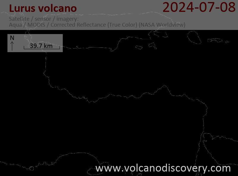
Satellite/aerial-type map of Lurus volcano (scale of 20-40 km)
Terrain-type map of Lurus volcano (scale of 20-40 km)
Satellite/aerial-type map of Lurus volcano (scale of approx. 10-20 km)
Terrain-type map of Lurus volcano (scale of approx. 10-20 km)
Satellite/aerial-type map of Lurus volcano (scale of 5-10 km)
Satellite/aerial-type map of Lurus volcano (scale of few kilometers)
Volcanoes & Earthquakes - new app for Android
Guaranteed tours
3-19 Nov 2025: Volcanoes and Spices - Sulawesi/Halmahera (Indonesia)
3-19 Nov 2025: From Krakatau to Bali - Java (Indonesia)
20 Nov - 3 Dec 2025: Desert, salt and volcanoes - Danakil desert (Ethiopia)
2-10 May 2026: From Stromboli to Etna - Sicily and Eolian Islands (Italy)
= spaces available   = guaranteed   = few spaces left   = booked out

No news in this list.

On this page:

Try our free app!
Volcanoes & Earthquakes - new app for Android
Android | iOS version

More on VolcanoDiscovery

Why is there advertising on this site?

Support Us – Help Us Enhance Our Services!

We’re passionate about delivering the latest volcano and earthquake data from around the globe — just for you. However, maintaining our website and free apps requires significant time, effort, and resources.
Your support helps us expand our hardware and software capabilities and empowers our dedicated editorial team. Our mission is to provide uninterrupted, real-time updates whenever an earthquake strikes or a volcano erupts — and your donations make this possible. Every contribution, big or small, is deeply appreciated. If you find our information valuable and want to help us add new features, create compelling content, and improve our technology, please consider making a donation:

Donate with Card or Apple/Google Pay:

Send €5 payment link to support VolcanoDiscovery with 5 EUR
€10 payment link to support VolcanoDiscovery with 10 EUR
€25 payment link to support VolcanoDiscovery with 25 EUR
€50 payment link to support VolcanoDiscovery with 50 EUR
€100 payment link to support VolcanoDiscovery with 100 EUR
€250 payment link to support VolcanoDiscovery with 250 EUR

Donate with PayPal:

Planned Features:

Thanks to your past donations, we have recently added:
Download the Volcanoes & Earthquakes app to stay among the first to receive the fastest seismic and volcano alerts online:
Android | iOS
Thank you for being part of our mission!
Sources: VolcanoDiscovery / VolcanoAdventures and other sources as noted.
Use of material: Most text and images on our websites are owned by us. Re-use is generally not permitted without authorization. Contact us for licensing rights.
Volcanoes & Earthquakes
VolcanoDiscovery Home
Volcanoes | Earthquakes | Photos | Volcano News | | Shop | App
Adventure & Study Travel
Tours to Volcanoes and Volcanic Areas: walking tours, photo tours, study tours
Tours & Dates | FAQ | About us
Get our newsletter!
Company info
Contact | Legal info | Terms & conditions
Follow us
Follow us on facebook Follow us on Instagram Follow us on Bluesky Follow us on Twitter Visit our Youtube channel
EN | DE | EL | ES | FR | IT | RU
VolcanoDiscovery GmbH, Germany, Reg. nr.: HRB 103744, EU Tax Id: DE 297 465 123 owned and created by
Dr. Tom Pfeiffer, volcanologist, volcano photographer, tour organizer member of
IAVCEI
IAVCEI
Vulkanologische Gesellschaft
Volcanological Society
Ecotourism Greece
Ecotourism Greece
RUV insurance
Insured by R+V
VolcanoDiscovery © 2004- All Rights Reserved | Privacy - Cookie Settings