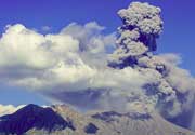
Megata Volcano
Updated: May 2, 2025 01:20 GMT -
maars
Honshu (Japan), 39.95°N / 139.73°E 
Summit height: 291 m / 955 ft
Current status: normal or dormant (1 out of 5)
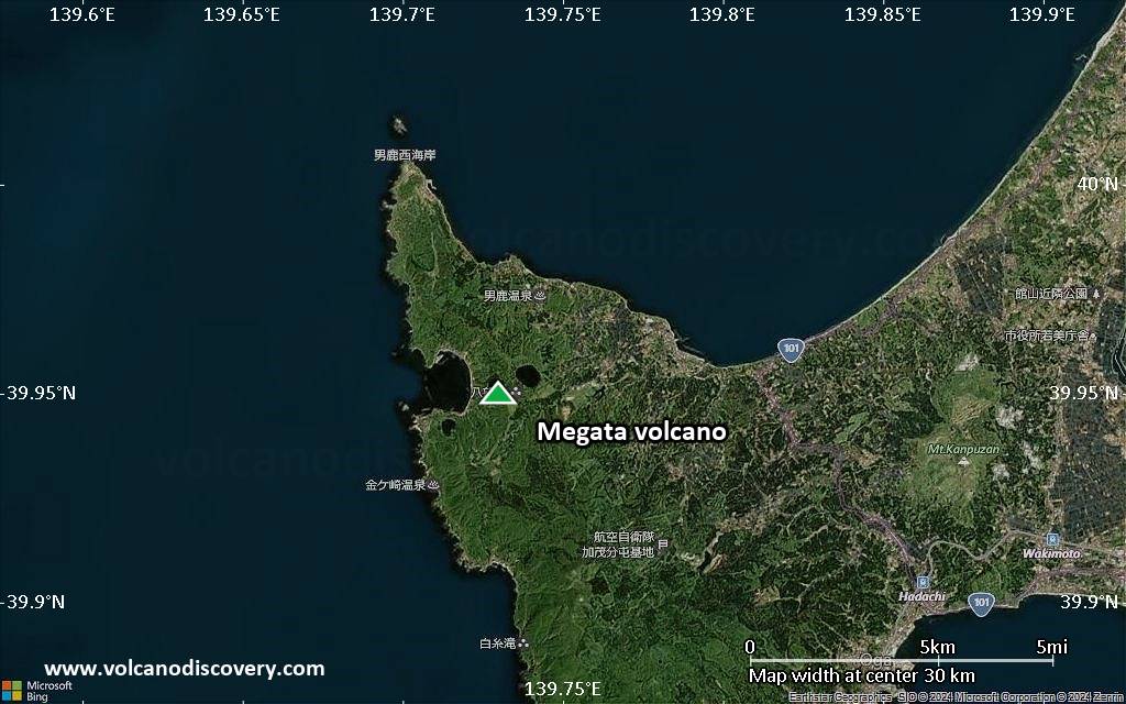
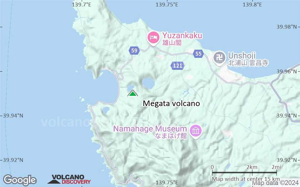
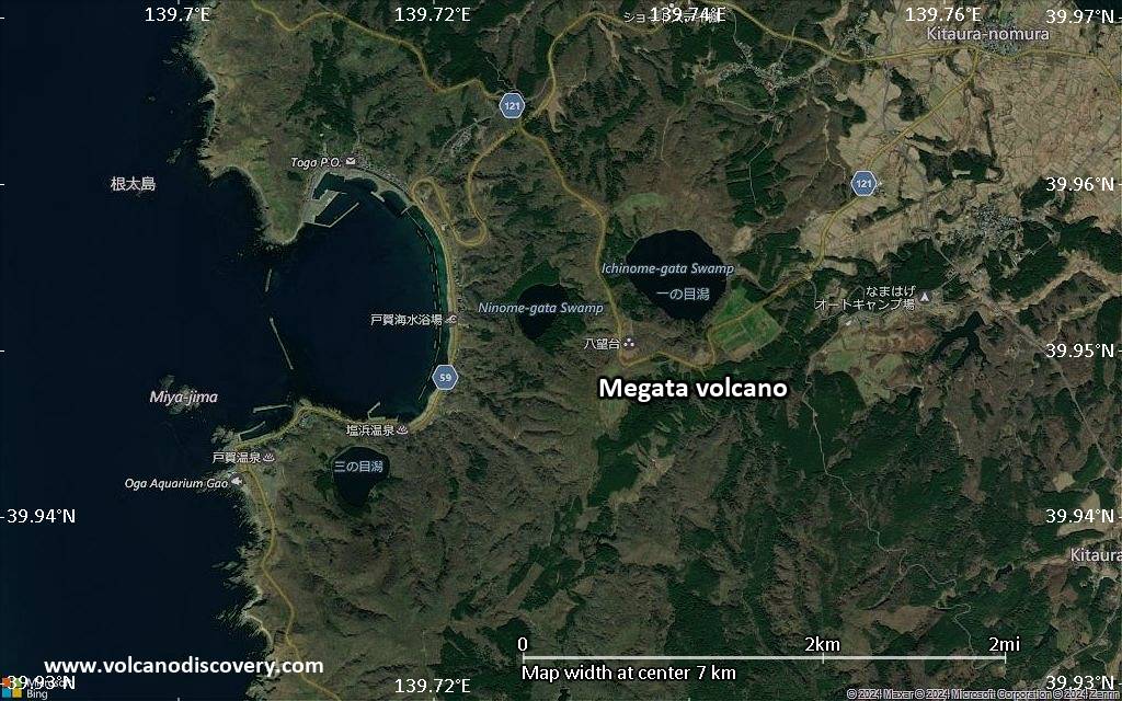
Megata volcano is a group of 3 small explosion craters (maars) along the tip of the Oga Peninsula in NW Honshu. Recent studies have shown that they have been active during the past 10,000 years.
[smaller] [larger]
Megata volcano eruptions: around 2050 BC, 7050 BC
Latest nearby earthquakes
| Date and Time | Mag / Depth | Distance / Location | |||
|---|---|---|---|---|---|
| Apr 23, 12:32 am (GMT +9) | 2.5 13 km | 27 km (17 mi) to the W | Info | ||
| Monday, April 21, 2025 GMT (1 quake) | |||||
| Apr 22, 12:33 am (GMT +9) | 0.8 16 km | 27 km (17 mi) to the E | Info | ||
| Sunday, April 20, 2025 GMT (1 quake) | |||||
| Apr 20, 11:08 am (GMT +9) | 1.3 15 km | 22 km (14 mi) to the E | Info | ||
Background
Ichinomegata, the easternmost, largest, and oldest of the three maars, is 600 m in diameter. Ninomegata and Sannomegata are located immediately east and south of Toga Bay (Togowan), which itself is a maar. The rim of the rhyolitic Toga (Togowan) maar, larger than the Megata maars, is breached by the sea on the western side and was formed about 450,000 years ago. The Megata maars are mostly late Pleistocene in age, but Murayama (1987) noted that pottery from roughly 4000 years before present has been found within tephra layers from the maars.- Smithsonian GVP volcano information
- Murayama I, (1987) "Volcanoes of Japan (I)", Tokyo: Daimedo, 315 p (2nd edition, in Japanese)
- Katsui et al (1979) "GENESIS OF CALC-ALKALIC ANDESITES FROM OSHIMA-OSHIMA AND ICHINOMEGATA VOLCANOES, NORTH JAPAN", J. Fac.Sci., Hokkaido Univ., Series IV, v. 19 (1-2), pp. 157-168
Significant volcanic eruptions: Megata volcano
No historic eruptions are known from Megata volcano, but evidence from at least 2 eruptions during the past 10,000 years can be found in the geological record.
The table below lists all known eruptions (date in bold face) of Megata volcano in historic times and during the past 10,000 years. Updates on the most recent volcanic activity of Megata can be found on the news page of Megata volcano.
| Date | Note | VEI | Deaths | Damage | |
|---|---|---|---|---|---|
| ? | |||||
| ? | |||||
Remark:
Our list of volcanic eruptions closely follows the database of eruptions of the Smithsonian's Global Volcanism Project (GVP), the internationally most recognized data source for volcanic eruptions, but also includes significant eruptive episodes or related volcano events. "Volcanic eruptions" are usually to be understood as sequences of individual eruptive episodes that can follow each other, or even overlap (if several vents are involved), and can last many years, decades or even longer. For example, the current activity of Stromboli volcano is understood as a single eruption that has been ongoing since 1934.
Sources: NOAA National Centers for Environmental Information (NCEI), Global Significant Volcanic Eruptions Database. doi:10.7289/V5TD9V7K | Global Volcanism Project / Smithsonian Institution
Megata Volcano FAQ
+When was the last eruption of Megata volcano?
The last confirmed eruption of Megata occurred in 2050 BC.
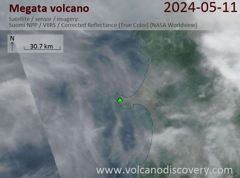
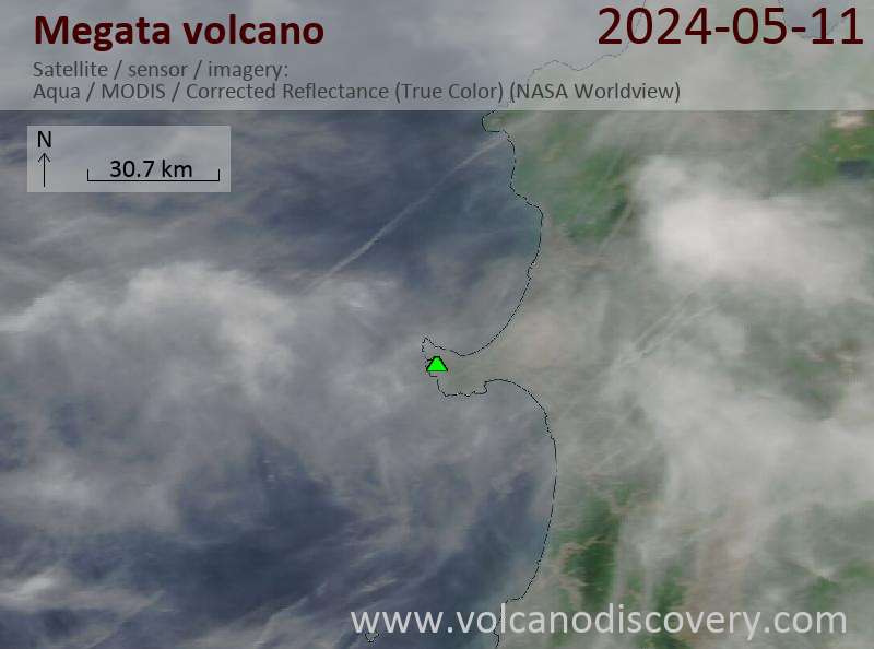
Latest satellite images
Megata Volcano Maps
Below is a selection of maps showing the location and surroundings of the volcano at various resolutions based on aerial-imagery / terrain maps. Feel free to use them for non-commercial purposes on your blog or website as long as you credit them with a link back to this page (click to copy it).
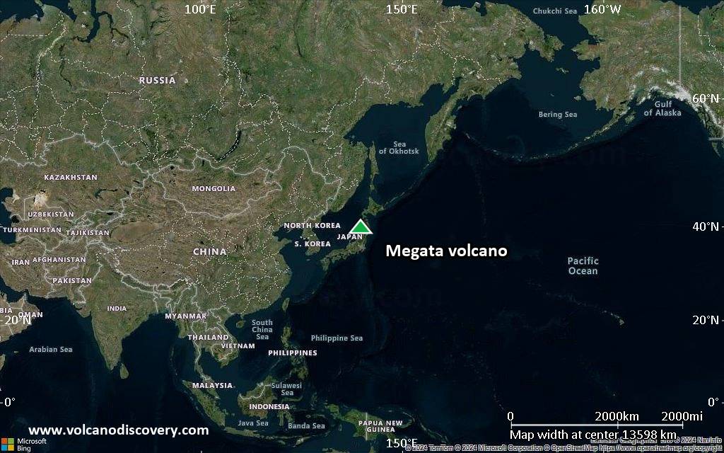
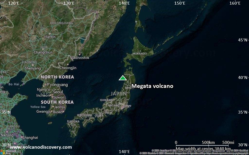
Satellite/aerial-type map of Megata volcano (world scale)

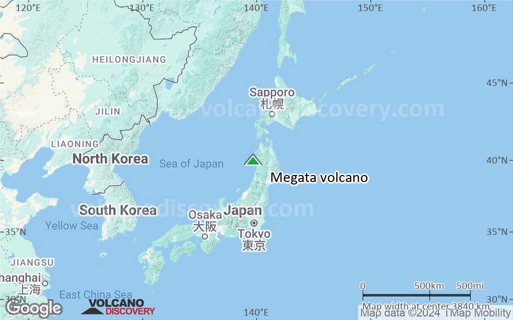
Terrain-type map of Megata volcano (world scale)
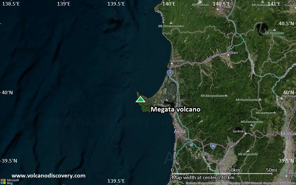
Satellite/aerial-type map of Megata volcano (region scale large)
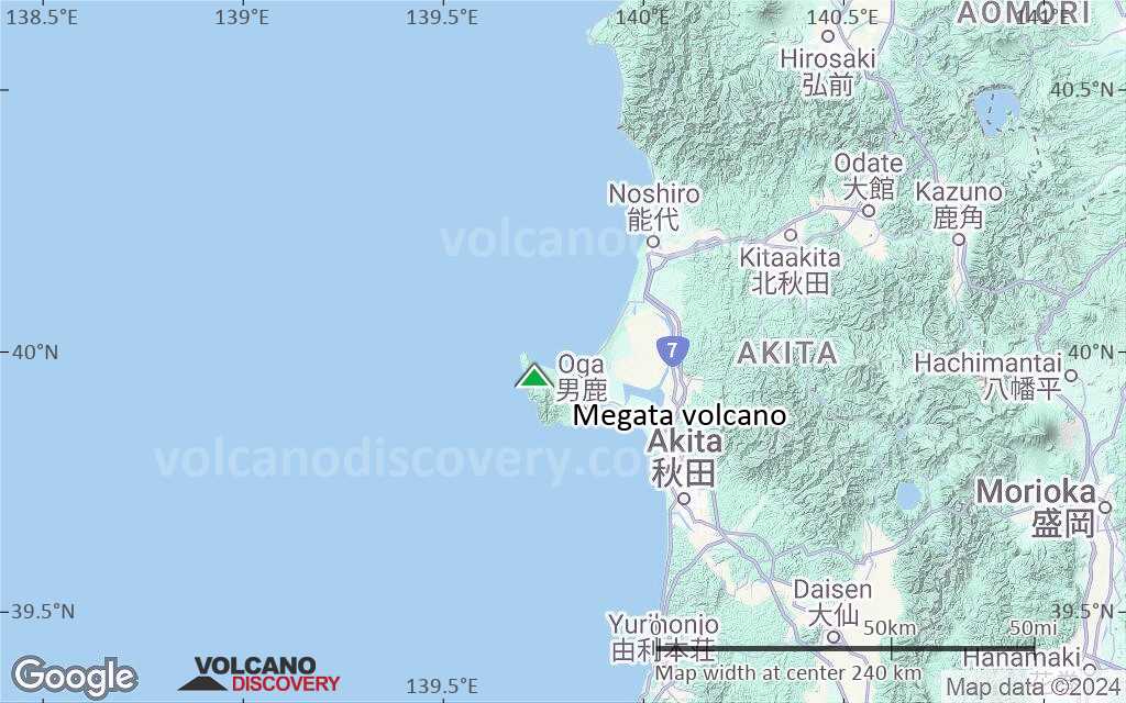
Terrain-type map of Megata volcano (region scale large)

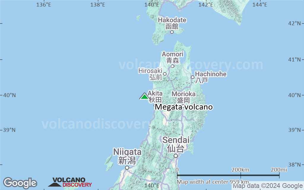
Satellite/aerial-type map of Megata volcano (region scale medium)

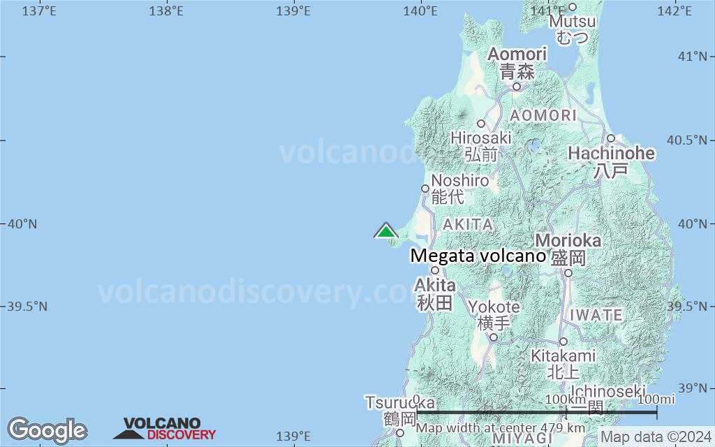
Terrain-type map of Megata volcano (region scale medium)

Satellite/aerial-type map of Megata volcano (region scale small)
Terrain-type map of Megata volcano (region scale small)

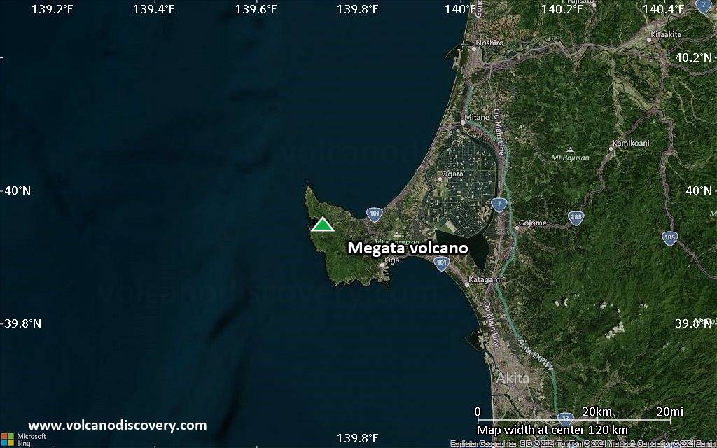
Satellite/aerial-type map of Megata volcano (local scale large)
Terrain-type map of Megata volcano (local scale large)
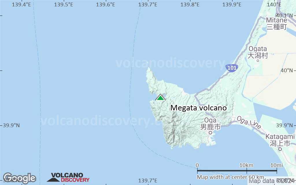
Satellite/aerial-type map of Megata volcano (local scale medium)
Terrain-type map of Megata volcano (local scale medium)
Satellite/aerial-type map of Megata volcano (local scale small)

Terrain-type map of Megata volcano (local scale small)

Satellite/aerial-type map of Megata volcano (scale of 10s of km)
Terrain-type map of Megata volcano (scale of 10s of km)
Satellite/aerial-type map of Megata volcano (scale of 20-40 km)

Terrain-type map of Megata volcano (scale of 20-40 km)

Satellite/aerial-type map of Megata volcano (scale of approx. 10-20 km)
Terrain-type map of Megata volcano (scale of approx. 10-20 km)
Satellite/aerial-type map of Megata volcano (scale of 5-10 km)

Satellite/aerial-type map of Megata volcano (scale of few kilometers)