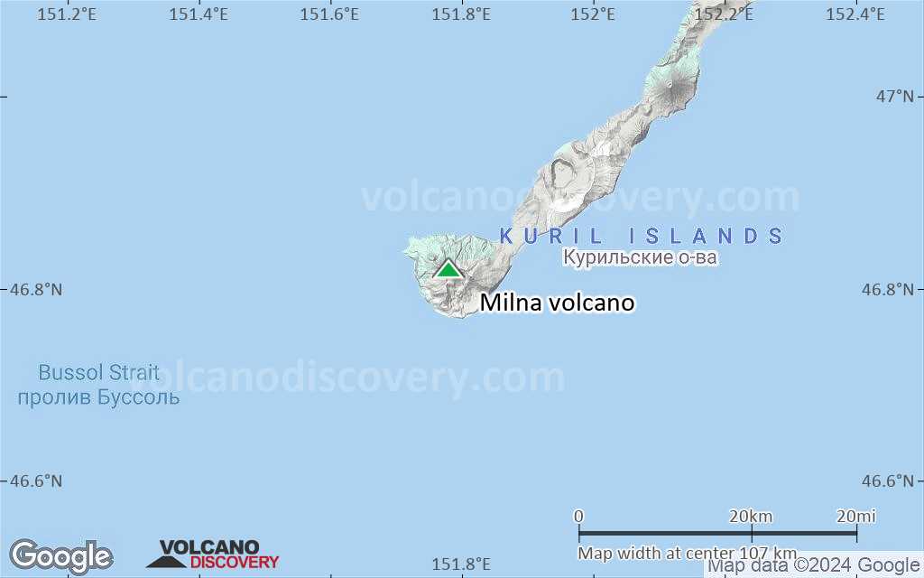
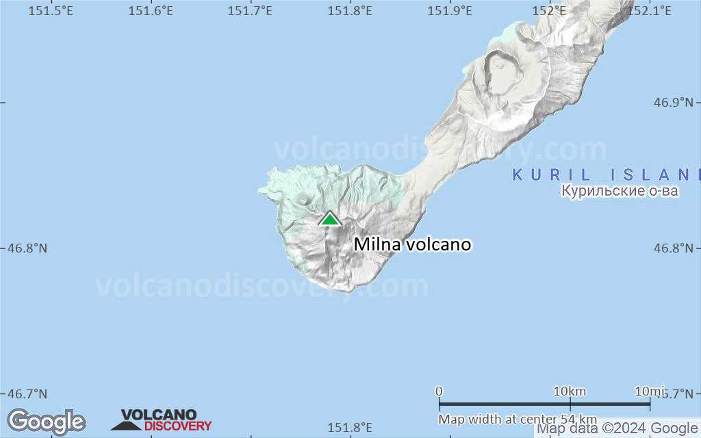
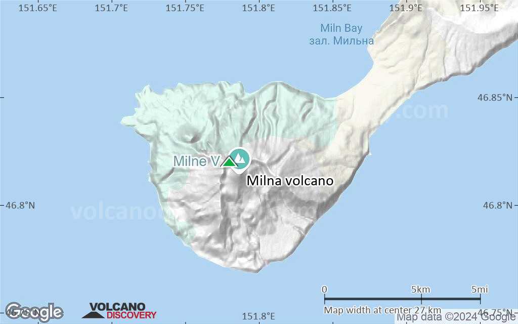
| RSS | EN | DE | EL | ES | FR | IT | RU

Milna Volcano

Updated: Jun 21, 2025 12:48 GMT -
somma volcano
Simushir Island (Kuril Islands), 46.82°N / 151.78°E
Summit height: 1540 m / 5,052 ft
Current status: normal or dormant (1 out of 5)

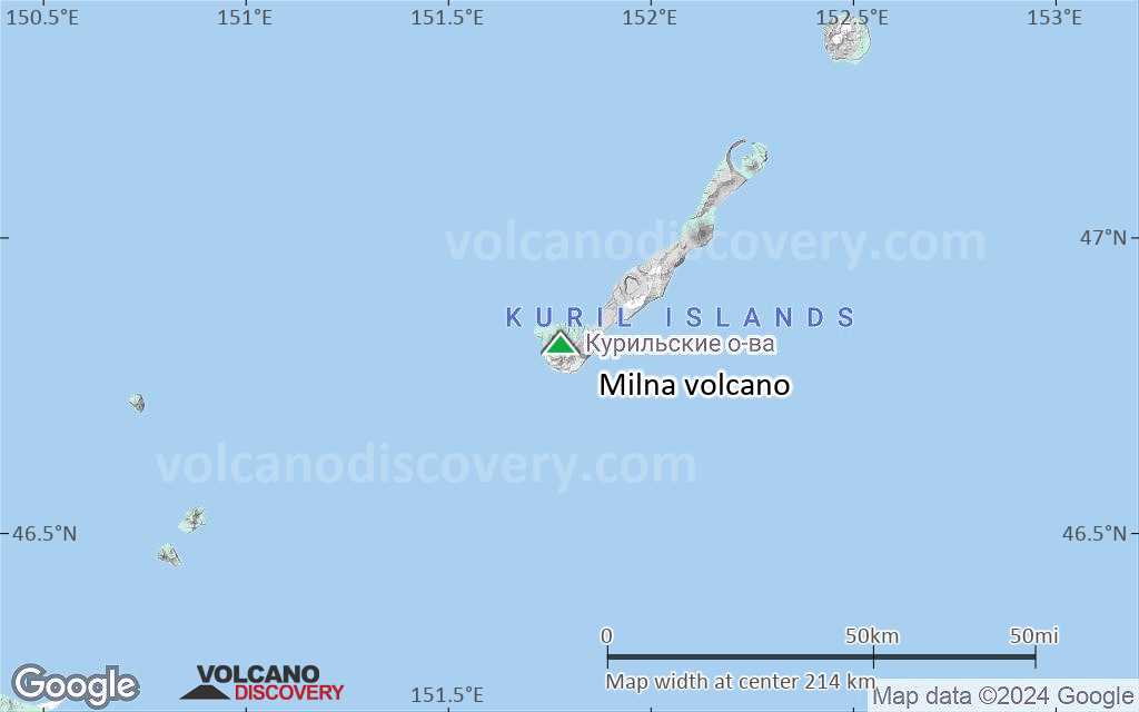
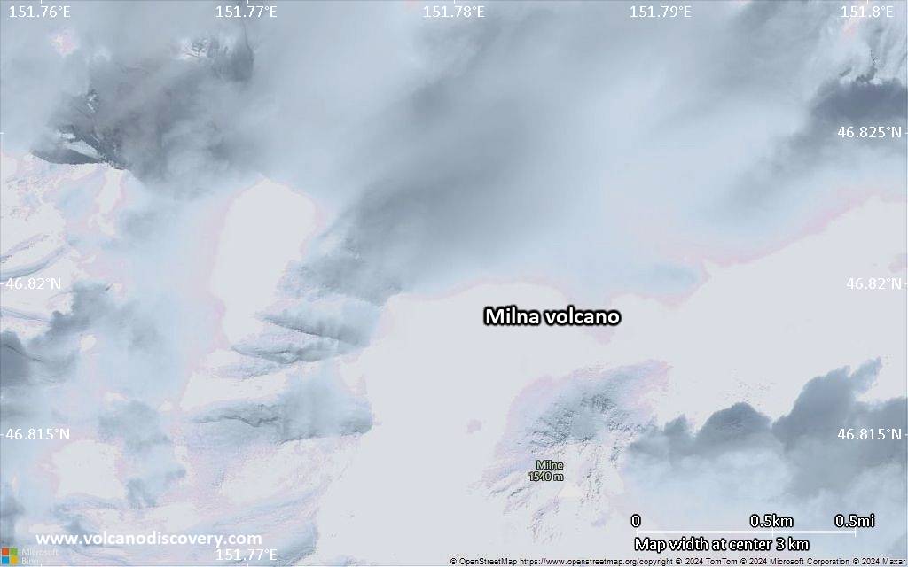
Milna volcano is the southernmost active volcano on Simushir Island, Kurile Islands. It is located immediately SE of the truncated remnant (somma) of Goiaschaia volcano's old cone.
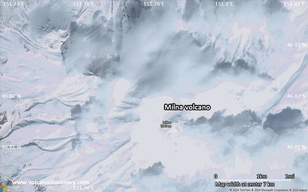
Milna volcano has a 3 km wide caldera breached to the south and steep flanks with deep erosion gullies. In the ice age, the caldera contained a glacier. A young cone with an andesitic dome was built inside the caldera during the past 10,000 years and now forms the highest point of the island. Lava flows of unknown age from this vent have reached the sea in 4-5 km distance.
(GVP / Smithsonian volcano information)

[smaller] [larger]
Typical eruption style: explosive
Milna volcano eruptions: unknown

Latest nearby earthquakes

Date and TimeMag / DepthDistance / Location

Significant volcanic eruptions: Milna volcano

In the past 10,000 years, Milna has had at least 5 confirmed eruptions, all documented by historical records or observations. There is one uncertain or discredited eruption in 1944 from Milna volcano.
The table below lists all known eruptions (date in bold face) of Milna volcano in historic times and during the past 10,000 years. Updates on the most recent volcanic activity of Milna can be found on the news page of Milna volcano.
DateNoteVEIDeathsDamage
?? 1944
Uncertain Eruption
2
1914 Jun 4Goriaschaia Sopka
Historical obs./docs.
2
1883 Apr 15 ±45 d.Goriaschaia Sopka
Historical obs./docs.
1
1881 SepGoriaschaia Sopka
Historical obs./docs.
2
1849Goriaschaia Sopka
Historical obs./docs.
2
1842 JunGoriaschaia Sopka
Historical obs./docs.
3?
Remark:
Our list of volcanic eruptions closely follows the database of eruptions of the Smithsonian's Global Volcanism Project (GVP), the internationally most recognized data source for volcanic eruptions, but also includes significant eruptive episodes or related volcano events. "Volcanic eruptions" are usually to be understood as sequences of individual eruptive episodes that can follow each other, or even overlap (if several vents are involved), and can last many years, decades or even longer. For example, the current activity of Stromboli volcano is understood as a single eruption that has been ongoing since 1934.
Sources: NOAA National Centers for Environmental Information (NCEI), Global Significant Volcanic Eruptions Database. doi:10.7289/V5TD9V7K | Global Volcanism Project / Smithsonian Institution

Milna Volcano FAQ

+When was the last eruption of Milna volcano?

+How often does Milna volcano erupt?

+How active is Milna volcano at present?

+When was the largest eruption of Milna volcano?

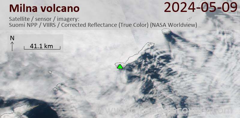
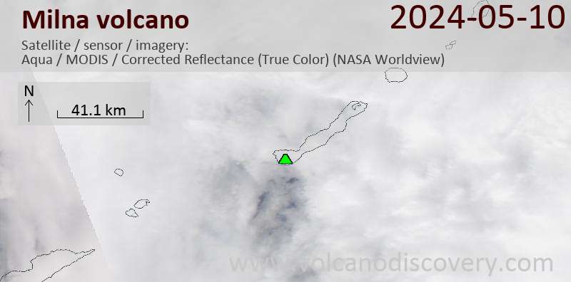
Latest satellite images
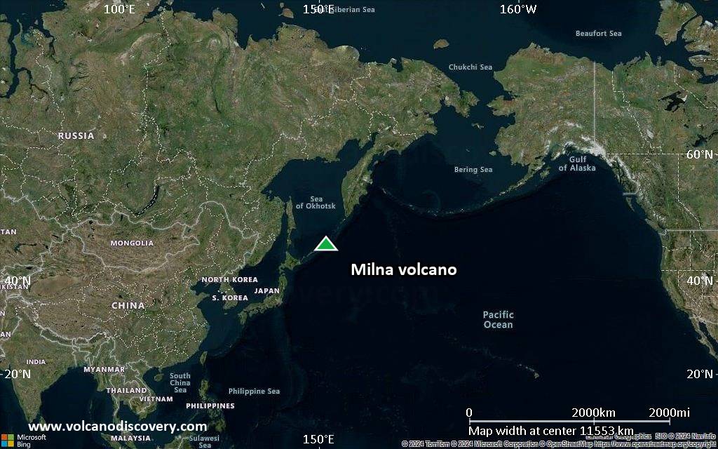
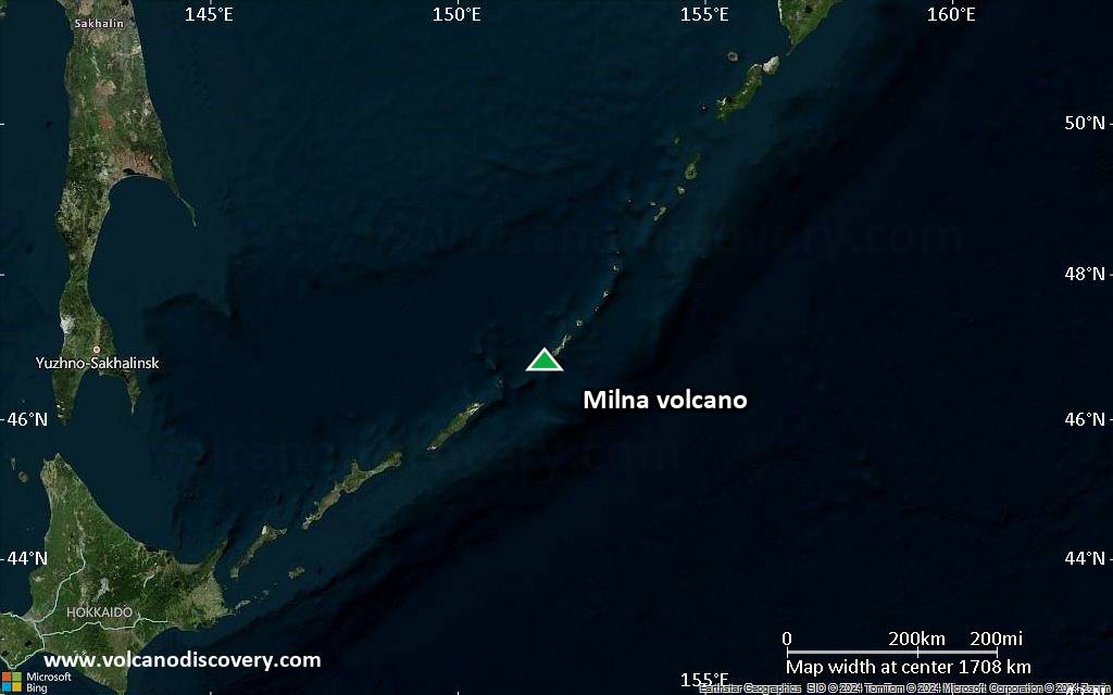
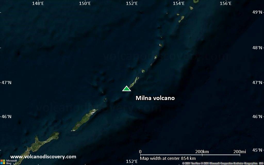
Milna satellite image sat1Milna satellite image sat2

Milna Volcano Maps

Below is a selection of maps showing the location and surroundings of the volcano at various resolutions based on aerial-imagery / terrain maps. Feel free to use them for non-commercial purposes on your blog or website as long as you credit them with a link back to this page (click to copy it).
Satellite/aerial-type map of Milna volcano (world scale)
Terrain-type map of Milna volcano (world scale)
Satellite/aerial-type map of Milna volcano (region scale large)
Terrain-type map of Milna volcano (region scale large)
Satellite/aerial-type map of Milna volcano (region scale medium)
Terrain-type map of Milna volcano (region scale medium)
Satellite/aerial-type map of Milna volcano (region scale small)
Terrain-type map of Milna volcano (region scale small)
Satellite/aerial-type map of Milna volcano (local scale large)
Terrain-type map of Milna volcano (local scale large)
Satellite/aerial-type map of Milna volcano (local scale medium)
Terrain-type map of Milna volcano (local scale medium)
Satellite/aerial-type map of Milna volcano (local scale small)
Terrain-type map of Milna volcano (local scale small)
Satellite/aerial-type map of Milna volcano (scale of 10s of km)
Terrain-type map of Milna volcano (scale of 10s of km)
Satellite/aerial-type map of Milna volcano (scale of 20-40 km)
Terrain-type map of Milna volcano (scale of 20-40 km)
Satellite/aerial-type map of Milna volcano (scale of approx. 10-20 km)
Terrain-type map of Milna volcano (scale of approx. 10-20 km)
Satellite/aerial-type map of Milna volcano (scale of 5-10 km)
Satellite/aerial-type map of Milna volcano (scale of few kilometers)
Volcanoes & Earthquakes - new app for Android
Guaranteed tours
1-17 Aug 2025: Volcanoes and Spices - Sulawesi/Halmahera (Indonesia)
1-14 Oct 2025: Desert, salt and volcanoes - Danakil desert (Ethiopia)
4-12 Oct 2025: From Stromboli to Etna - Sicily and Eolian Islands (Italy)
6-21 Oct 2025: From Krakatau to Bali - Java (Indonesia)
3-19 Nov 2025: Volcanoes and Spices - Sulawesi/Halmahera (Indonesia)
= spaces available   = guaranteed   = few spaces left   = booked out

No news in this list.

On this page:

Try our free app!
Volcanoes & Earthquakes - new app for Android
Android | iOS version

More on VolcanoDiscovery

Why is there advertising on this site?

Support us - Help us upgrade our services!

We truly love working to bring you the latest volcano and earthquake data from around the world. Maintaining our website and our free apps does require, however, considerable time and resources.
We need financing to increase hard- and software capacity as well as support our editor team. We're aiming to achieve uninterrupted service wherever an earthquake or volcano eruption unfolds, and your donations can make it happen! Every donation will be highly appreciated. If you find the information useful and would like to support our team in integrating further features, write great content, and in upgrading our soft- and hardware, please make a donation (PayPal).

Planned features:Thanks to your past donations, these features have been added recently:
Download and Upgrade the Volcanoes & Earthquakes app to get one of the fastest seismic and volcano alerts online:
Android | IOS
Thank you!
Sources: VolcanoDiscovery / VolcanoAdventures and other sources as noted.
Use of material: Most text and images on our websites are owned by us. Re-use is generally not permitted without authorization. Contact us for licensing rights.
Volcanoes & Earthquakes
VolcanoDiscovery Home
Volcanoes | Earthquakes | Photos | Volcano News | | Shop | App
Adventure & Study Travel
Tours to Volcanoes and Volcanic Areas: walking tours, photo tours, study tours
Tours & Dates | FAQ | About us
Get our newsletter!
Company info
Contact | Legal info | Terms & conditions
Follow us
Follow us on facebook Follow us on Instagram Follow us on Bluesky Follow us on Twitter Visit our Youtube channel
EN | DE | EL | ES | FR | IT | RU
VolcanoDiscovery GmbH, Germany, Reg. nr.: HRB 103744, EU Tax Id: DE 297 465 123 owned and created by
Dr. Tom Pfeiffer, volcanologist, volcano photographer, tour organizer member of
IAVCEI
IAVCEI
Vulkanologische Gesellschaft
Volcanological Society
Ecotourism Greece
Ecotourism Greece
RUV insurance
Insured by R+V
VolcanoDiscovery © 2004- All Rights Reserved | Privacy - Cookie Settings