Nikko Volcano
Updated: May 2, 2025 07:47 GMT -
submarine volcano
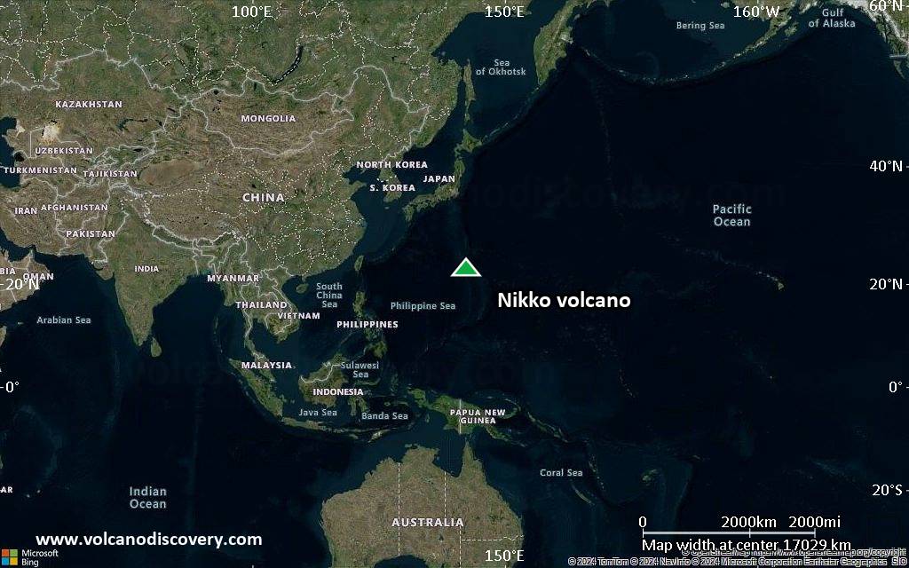
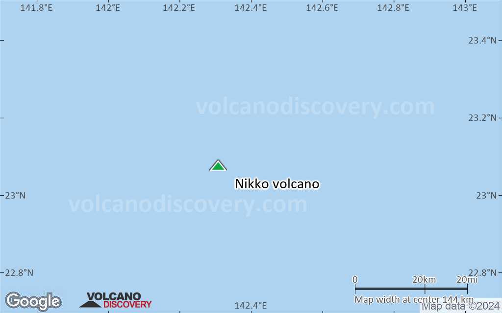
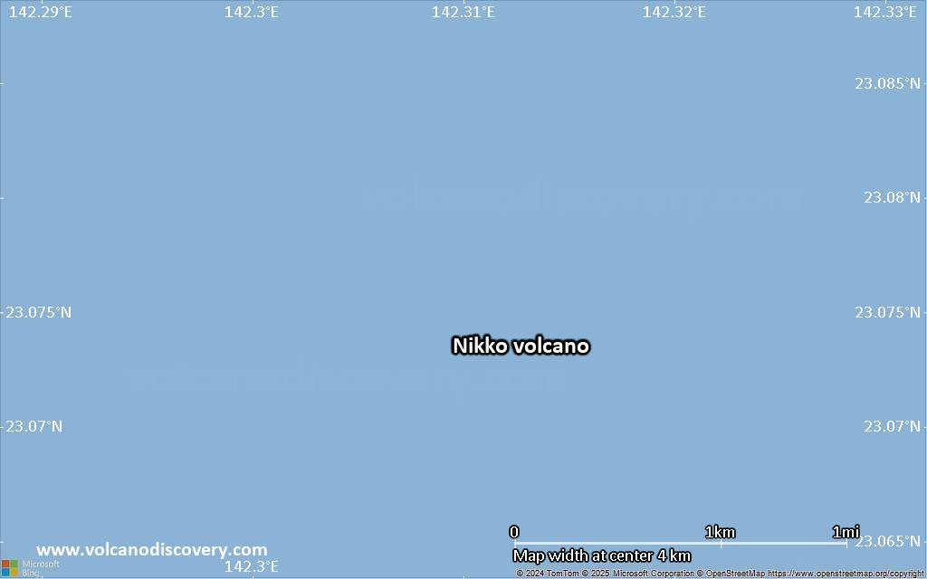
Volcano Islands (Japan), 23.08°N / 142.31°E 
Summit height: -391 m / -1,283 ft
Current status: normal or dormant (1 out of 5)
Nikko volcano is a large submarine volcano in the Volcano Islands chain of Japan. Discoloured water above the volcano has been observed almost every year between 1979 and 1990.
[smaller] [larger]
Nikko volcano eruptions: 1979 (?)
Latest nearby earthquakes
| Date and Time | Mag / Depth | Distance / Location | |||
|---|---|---|---|---|---|
Background
from Smithsonian / GVP volcano information:Nikko submarine volcano is a massive seamount that rises from nearly 3 km depth to within 391 m of the sea surface at the SE end of a submarine ridge segment extending from Minami-Iwo-jima island. Two large cones at the basaltic-to-andesitic volcano have been constructed on the NW and NE rims of a roughly 3-km-wide, flat-floored submarine caldera, whose rim is prominently displayed on the southern side, but largely buried on the north. A smaller cones lies on the SE caldera floor. The larger NW cone lies within a partially buried crater and displays hydrothermal activity. Discolored water was observed above Nikko seamount in July 1979, but no water discoloration has been observed during semi-regular seasonal reconnaissance flights since then. Hydrothermal venting was documented during a recent NOAA expedition.
Significant volcanic eruptions: Nikko volcano
In the past 10,000 years, Nikko has had only one confirmed historic eruption ###WHEN1###|only one confirmed historic eruption ###WHEN1### and one ###WHEN2### inferred from geological evidence|only one confirmed historic eruption ###WHEN1###, but at least ###NUM_INFERRED### eruptions can be inferred from geological evidence|at least ###NUM_CONFIRMED### confirmed eruptions, all documented by historical records or observations|at least ###NUM_CONFIRMED### confirmed volcanic eruptions, out of which ###NUM_HISTORIC### are documented by historical records, while the others can be inferred from geological evidence.
No historic eruptions are known from Nikko volcano, but at least one eruption ###WHEN2### can be inferred from geological evidence|evidence from at least ###NUM_CONFIRMED### eruptions during the past 10,000 years can be found in the geological record.
There is one uncertain or discredited eruption in 1979 from Nikko volcano.
The table below lists all known eruptions (date in bold face) of Nikko volcano in historic times and during the past 10,000 years. Updates on the most recent volcanic activity of Nikko can be found on the news page of Nikko volcano.
| Date | Note | VEI | Deaths | Damage | |
|---|---|---|---|---|---|
?? | Uncertain Eruption | 0 | |||
Remark:
Our list of volcanic eruptions closely follows the database of eruptions of the Smithsonian's Global Volcanism Project (GVP), the internationally most recognized data source for volcanic eruptions, but also includes significant eruptive episodes or related volcano events. "Volcanic eruptions" are usually to be understood as sequences of individual eruptive episodes that can follow each other, or even overlap (if several vents are involved), and can last many years, decades or even longer. For example, the current activity of Stromboli volcano is understood as a single eruption that has been ongoing since 1934.
Sources: NOAA National Centers for Environmental Information (NCEI), Global Significant Volcanic Eruptions Database. doi:10.7289/V5TD9V7K | Global Volcanism Project / Smithsonian Institution
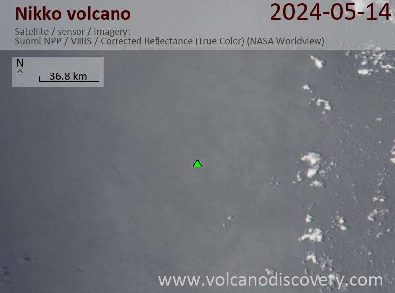
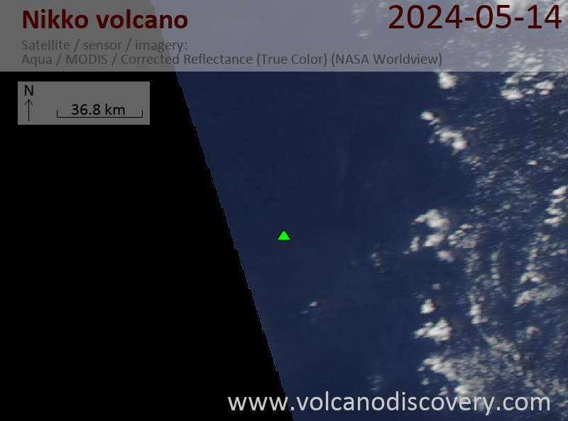
Latest satellite images
Nikko Volcano Maps
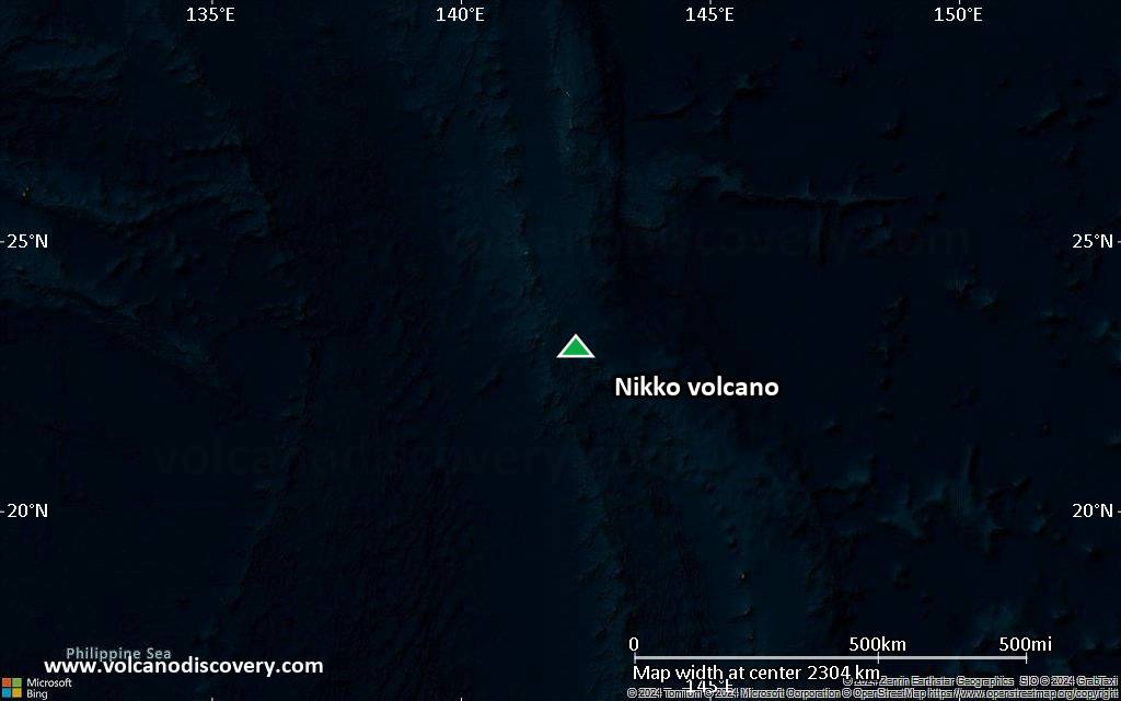
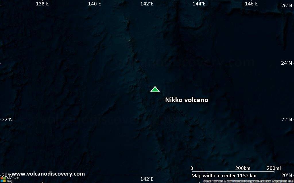
Below is a selection of maps showing the location and surroundings of the volcano at various resolutions based on aerial-imagery / terrain maps. Feel free to use them for non-commercial purposes on your blog or website as long as you credit them with a link back to this page (click to copy it).
Satellite/aerial-type map of Nikko volcano (world scale)
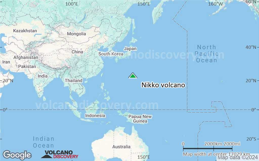
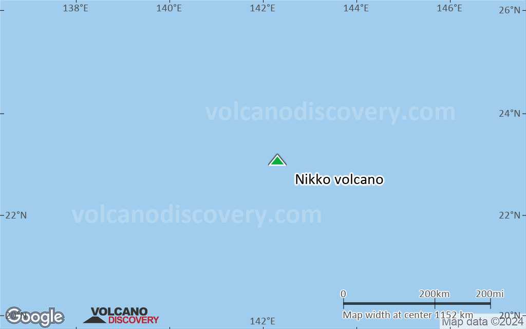
Terrain-type map of Nikko volcano (world scale)

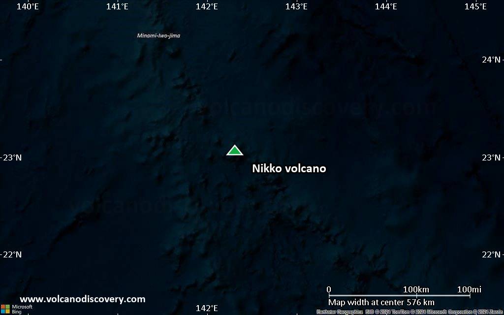
Satellite/aerial-type map of Nikko volcano (region scale large)
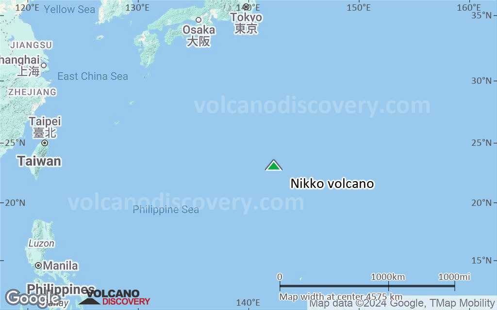
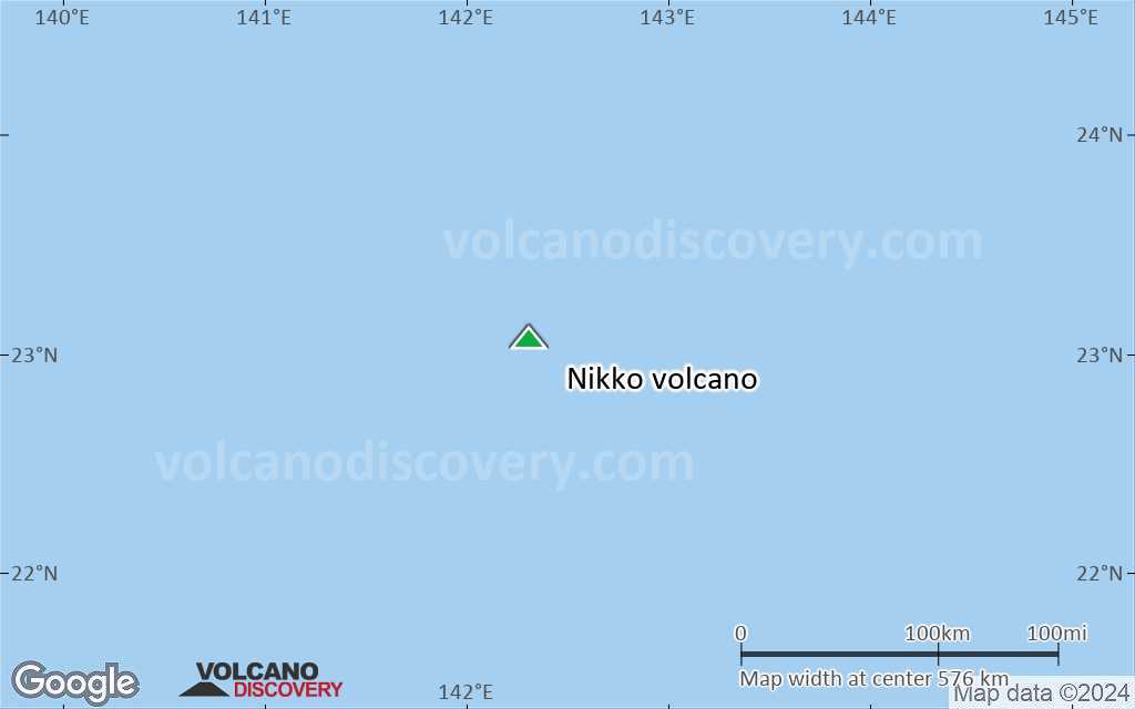
Terrain-type map of Nikko volcano (region scale large)
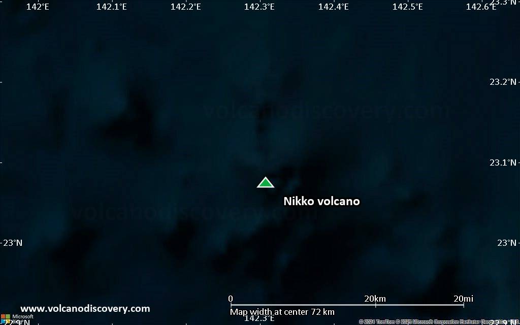
Satellite/aerial-type map of Nikko volcano (region scale medium)

Terrain-type map of Nikko volcano (region scale medium)
Satellite/aerial-type map of Nikko volcano (region scale small)
Terrain-type map of Nikko volcano (region scale small)
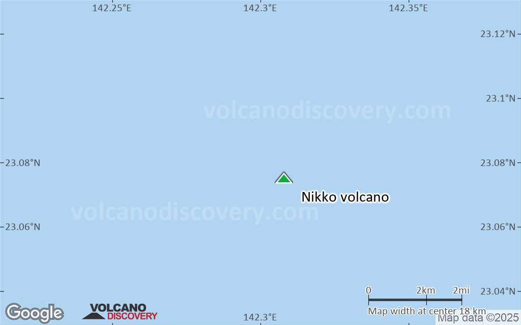
Satellite/aerial-type map of Nikko volcano (local scale large)
Terrain-type map of Nikko volcano (local scale large)

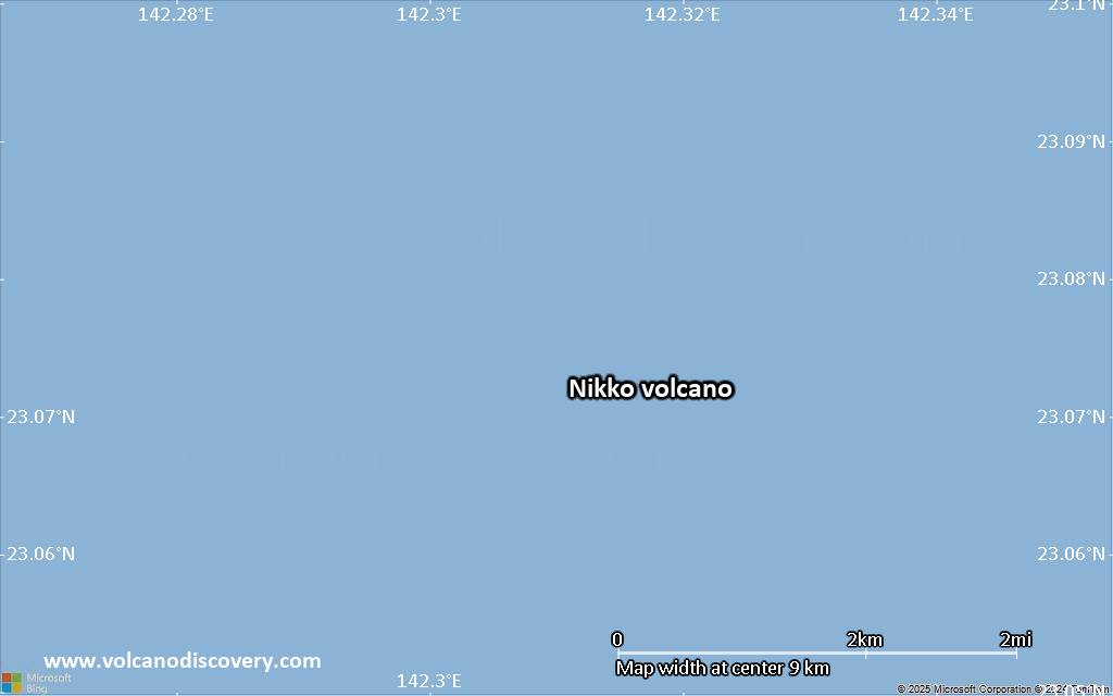
Satellite/aerial-type map of Nikko volcano (local scale medium)

Terrain-type map of Nikko volcano (local scale medium)
Satellite/aerial-type map of Nikko volcano (local scale small)
Terrain-type map of Nikko volcano (local scale small)
Satellite/aerial-type map of Nikko volcano (scale of 10s of km)

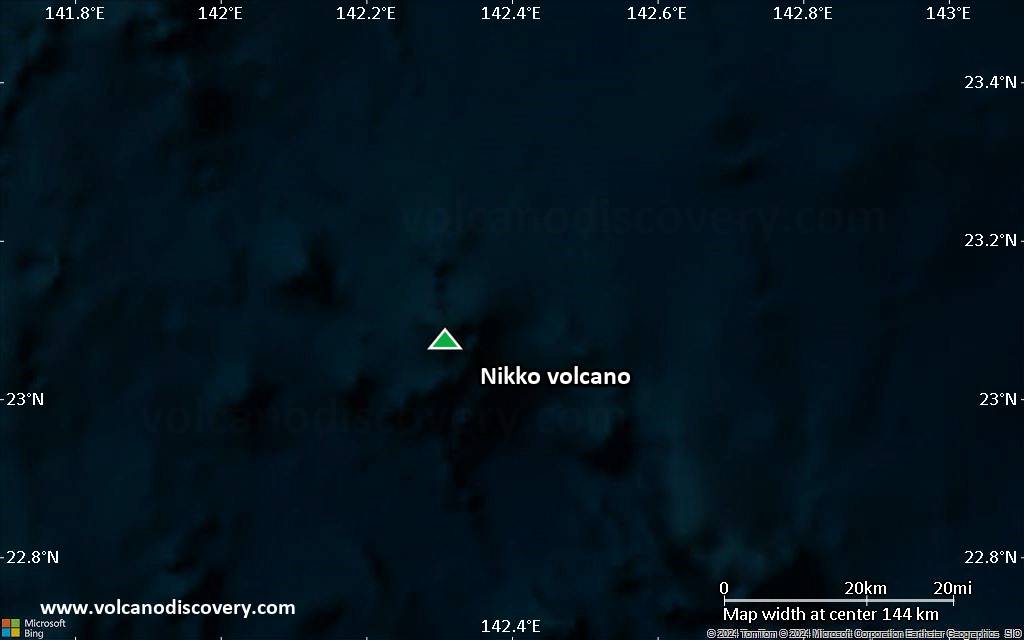
Terrain-type map of Nikko volcano (scale of 10s of km)

Satellite/aerial-type map of Nikko volcano (scale of 20-40 km)

Terrain-type map of Nikko volcano (scale of 20-40 km)

Satellite/aerial-type map of Nikko volcano (scale of approx. 10-20 km)
Terrain-type map of Nikko volcano (scale of approx. 10-20 km)
Satellite/aerial-type map of Nikko volcano (scale of 5-10 km)
Satellite/aerial-type map of Nikko volcano (scale of few kilometers)