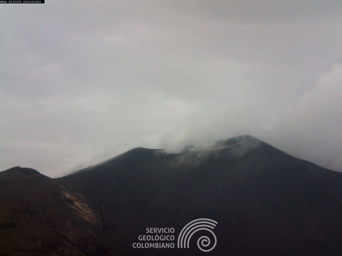
Puracé Volcano
Updated: May 9, 2024 22:33 GMT -
stratovolcano 4650+ m / 15,256 ft
Colombia, 2.32°N / -76.4°W
Current status: minor activity or eruption warning (3 out of 5)
Colombia, 2.32°N / -76.4°W
Current status: minor activity or eruption warning (3 out of 5)
Last update: 8 May 2024 (Smithsonian / USGS Weekly Volcanic Activity Report)
Puracé volcano in SW Colombia, 25 km SE of Popayan, is one of the most active volcanoes in Colombia with frequent explosive eruptions. Its largest historic eruptions occurred in 1849, 1869, and 1885.
The last eruption of Puracé volcano was a small (VEI 2) eruption in 1977. It deposited ash up to 7 km away.
In 1990 new fumaroles and hot springs were observed at the summit and on the flank.
[smaller] [larger]
Puracé volcano eruptions: 1977, 1957, 1956, 1949, 1947, 1946, 1927, 1926, 1925, 1924, 1906, 1902(?), 1899, 1885, 1881, 1878, 1870, 1869, 1860, 1847-52, 1840, 1835, 1827, 1816, 160 BC ± 50
Latest nearby earthquakes
| Time | Mag. / Depth | Distance / Location | |||
Background
Puracé is an andesitic stratovolcano with a 500-m-wide summit crater constructed over a dacitic shield volcano. The volcano is located at the NW end of a volcanic massif opposite the Pan de Azúcar stratovolcano 6 km to the SE.A NW-SE-trending group of 7 cones and craters, Los Coconucos, lies between the two larger edifices. (Source: USGS / GVP volcano information)
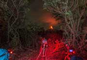
Latest satellite images